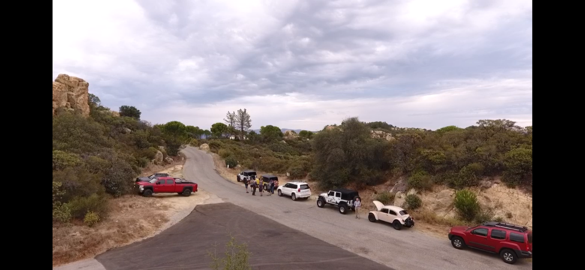
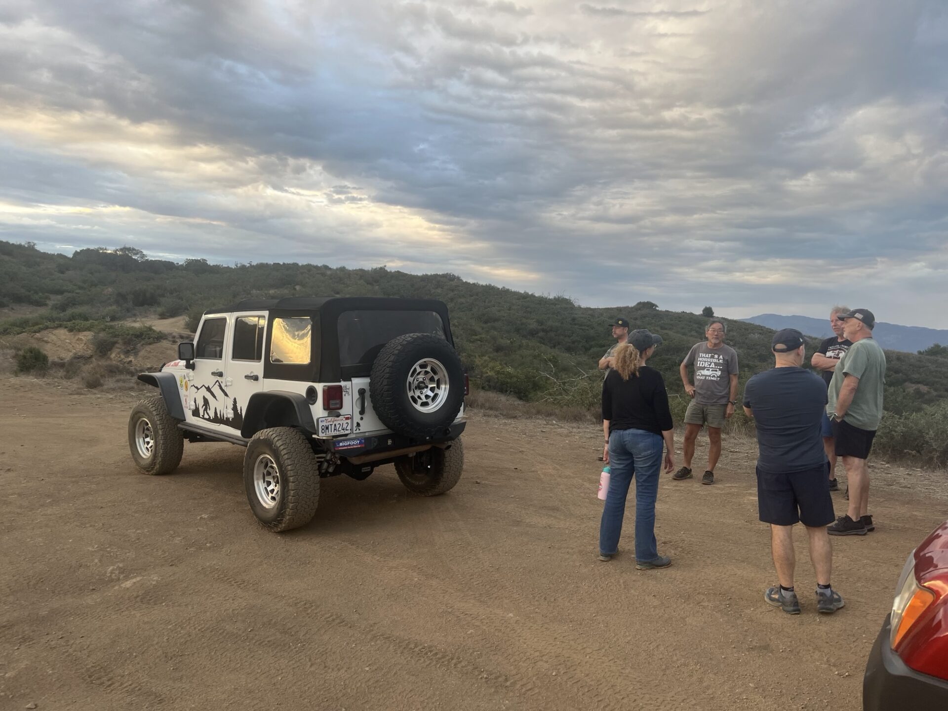
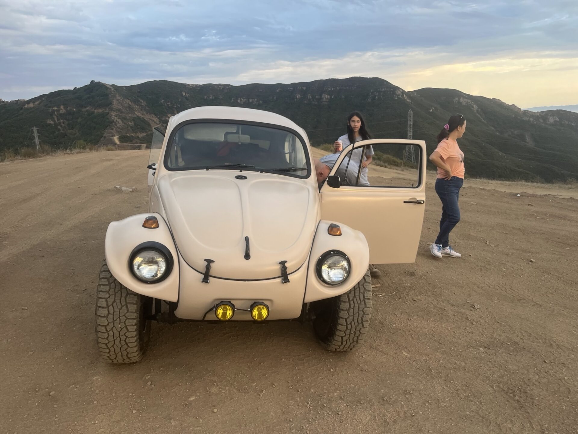
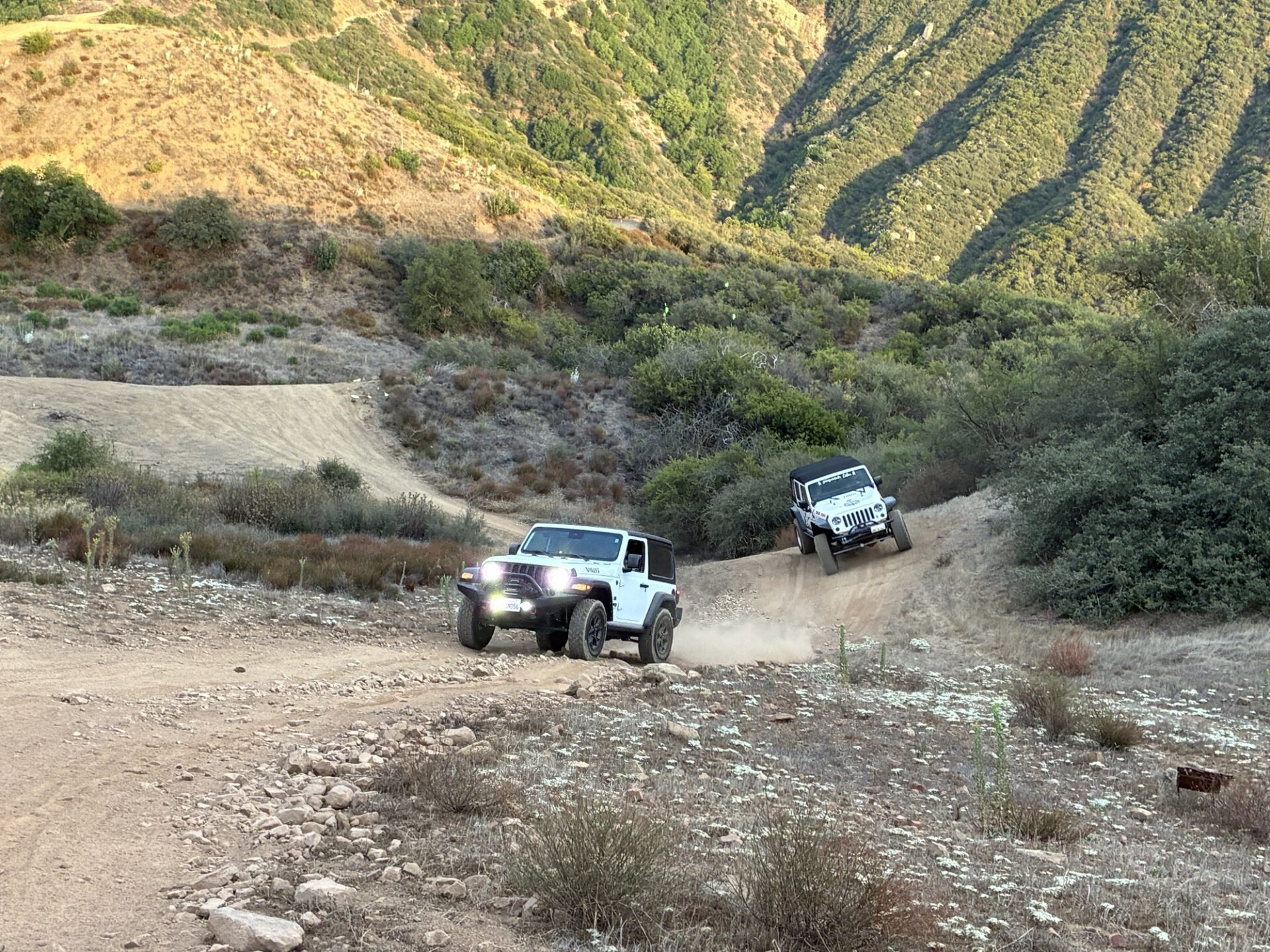
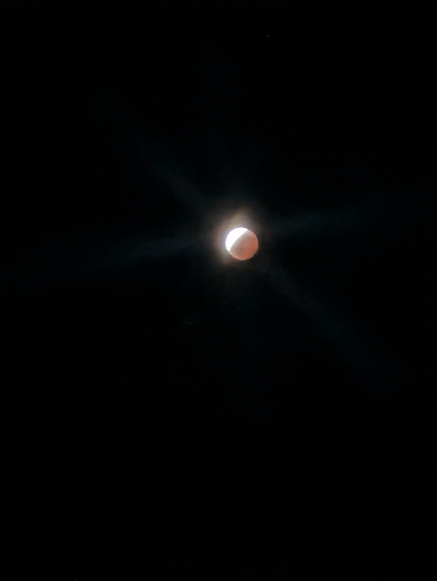
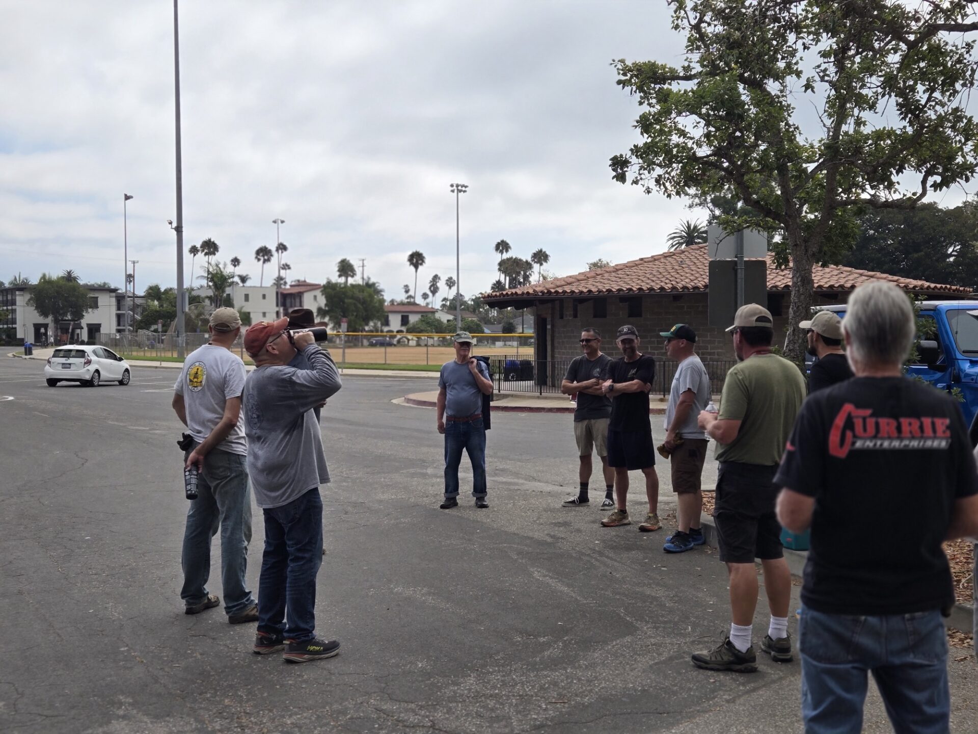
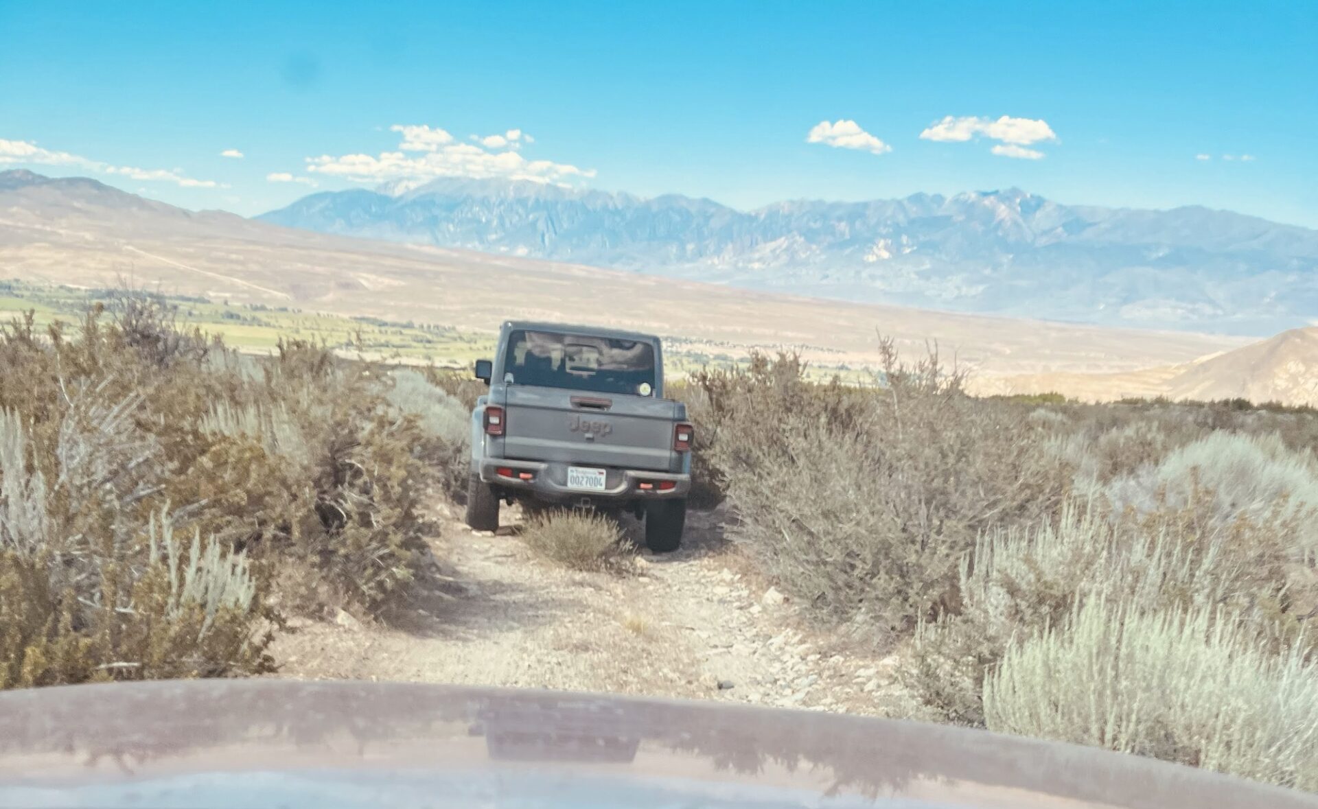
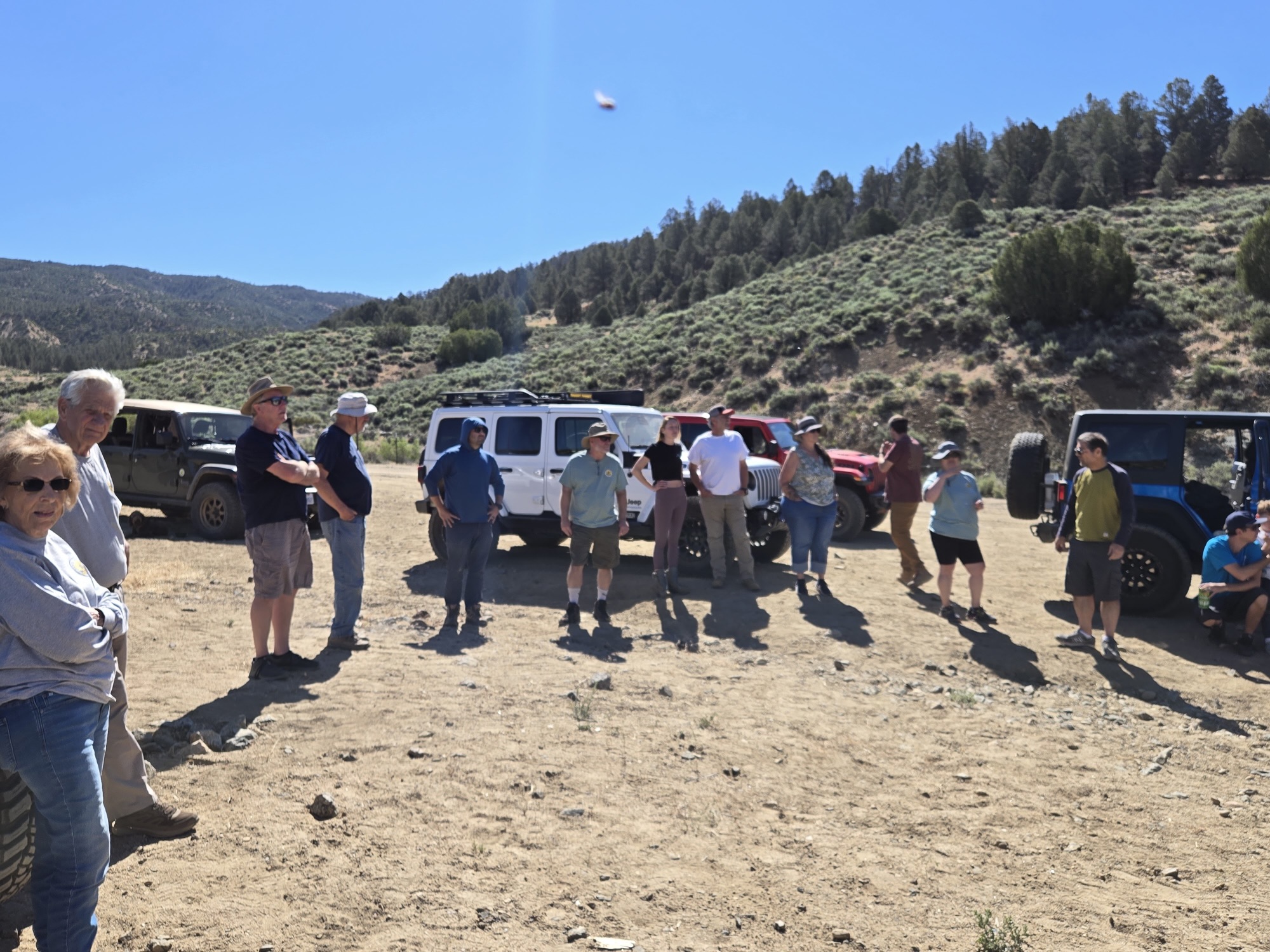
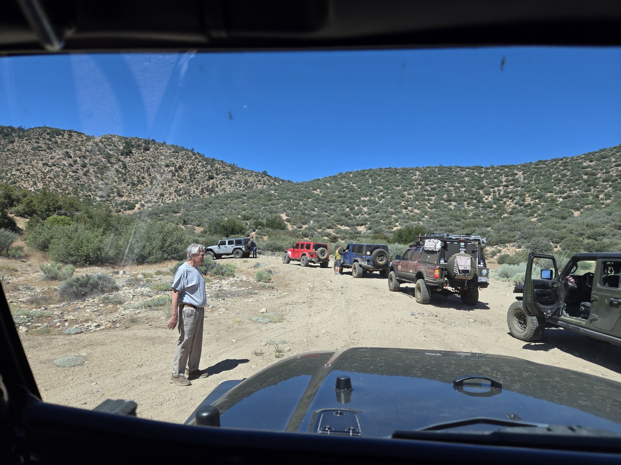
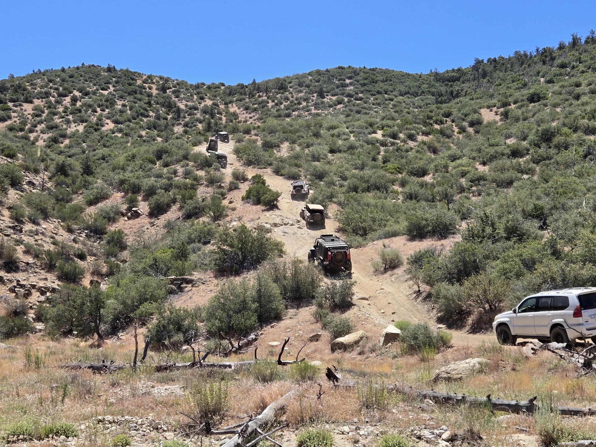
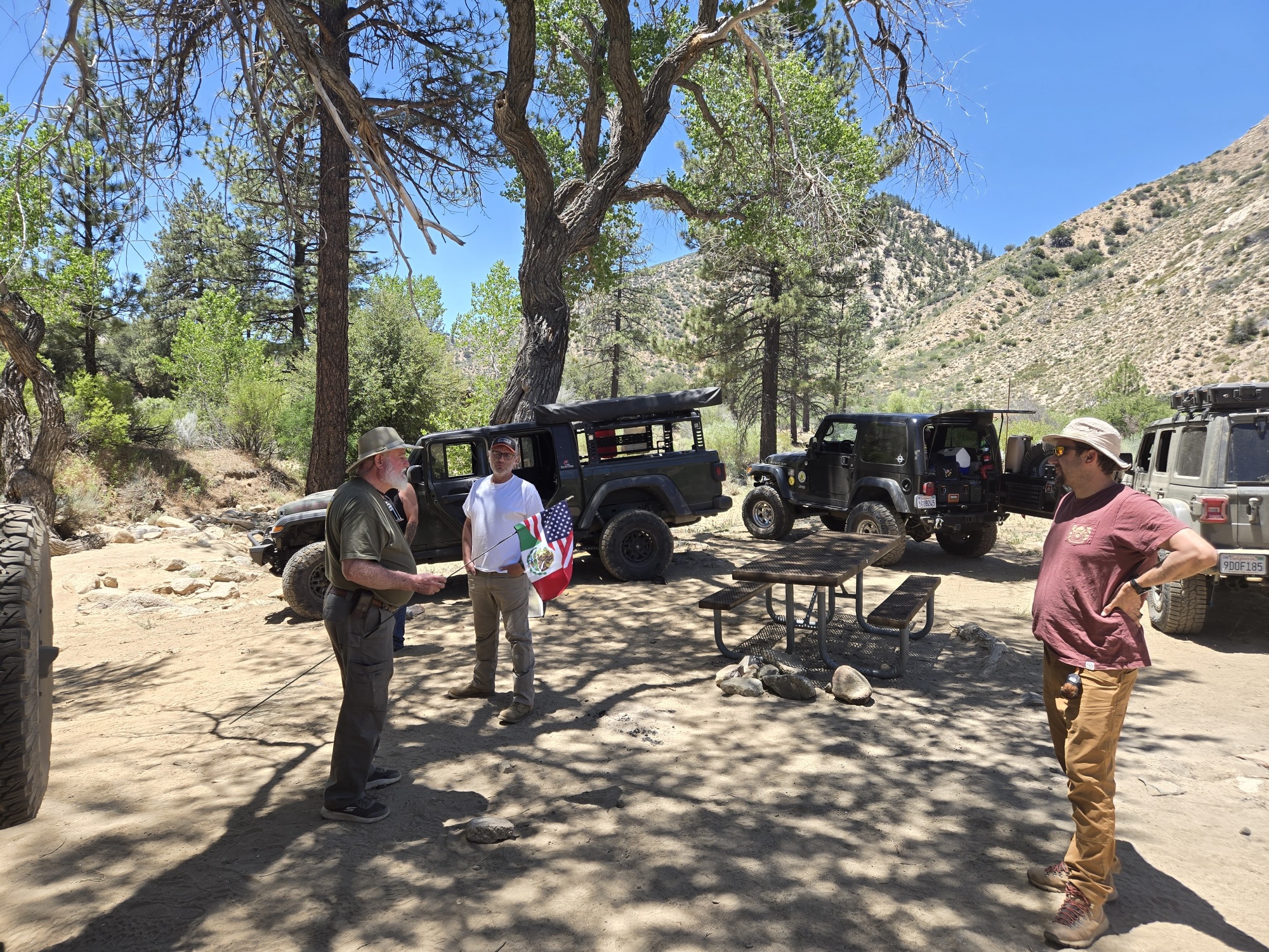
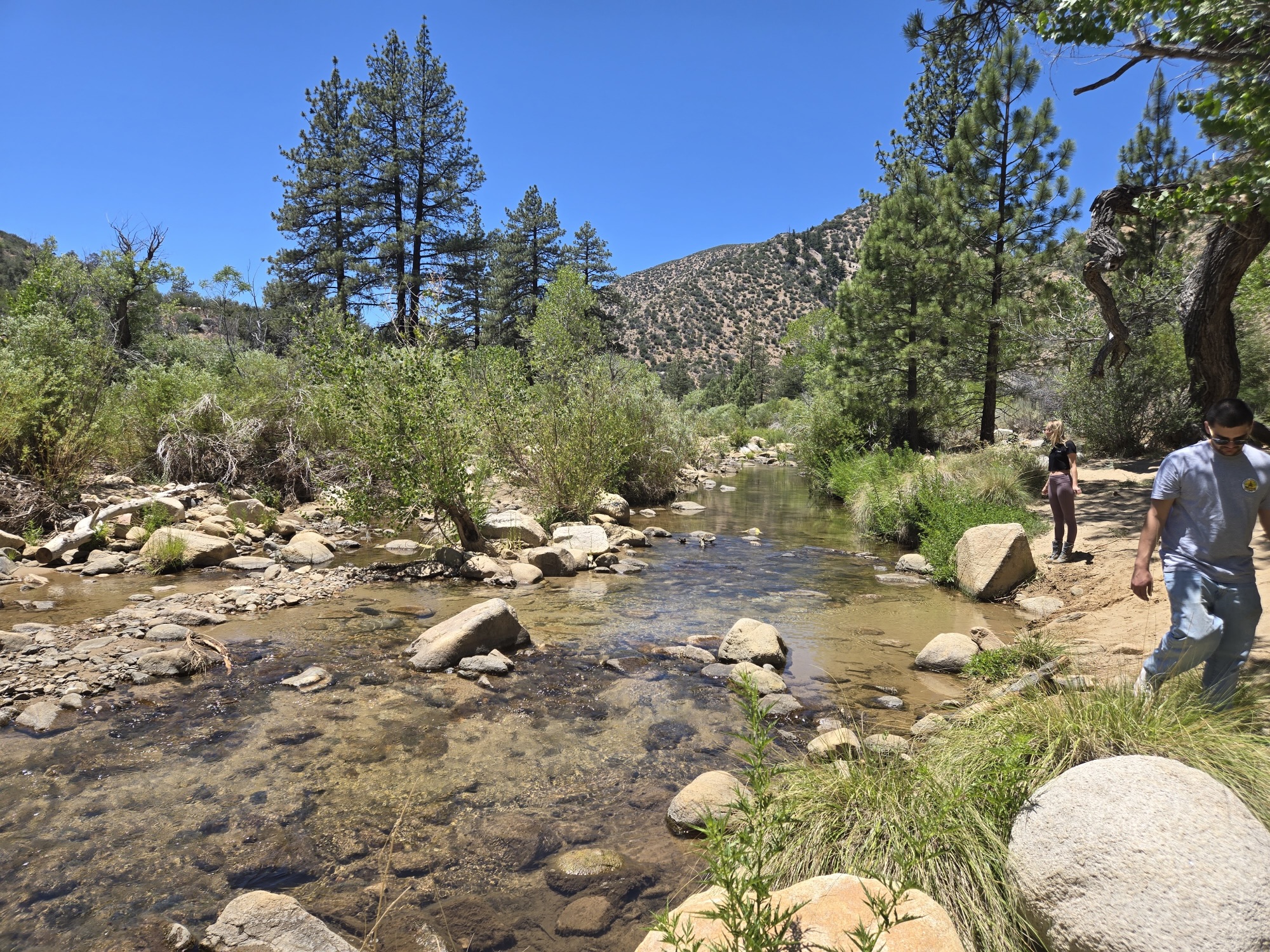
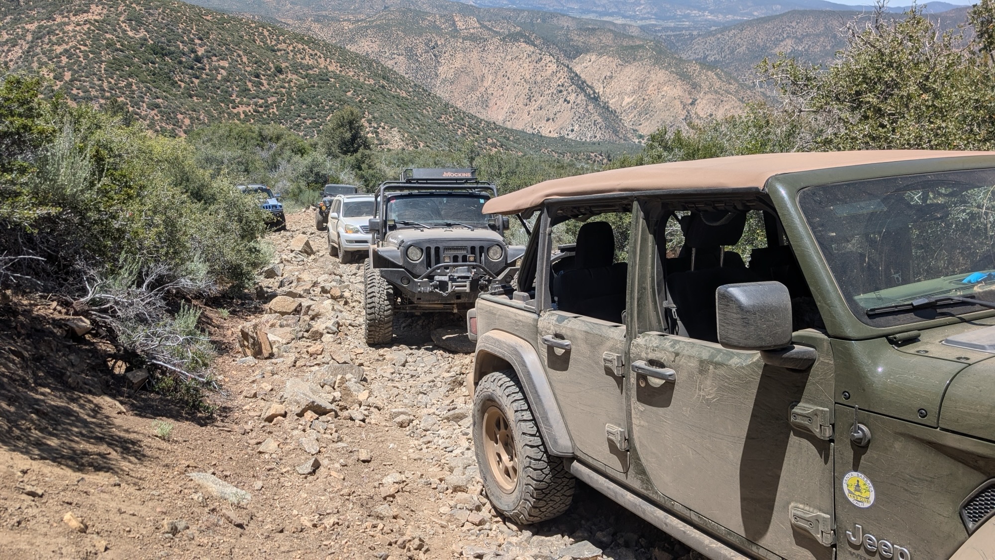
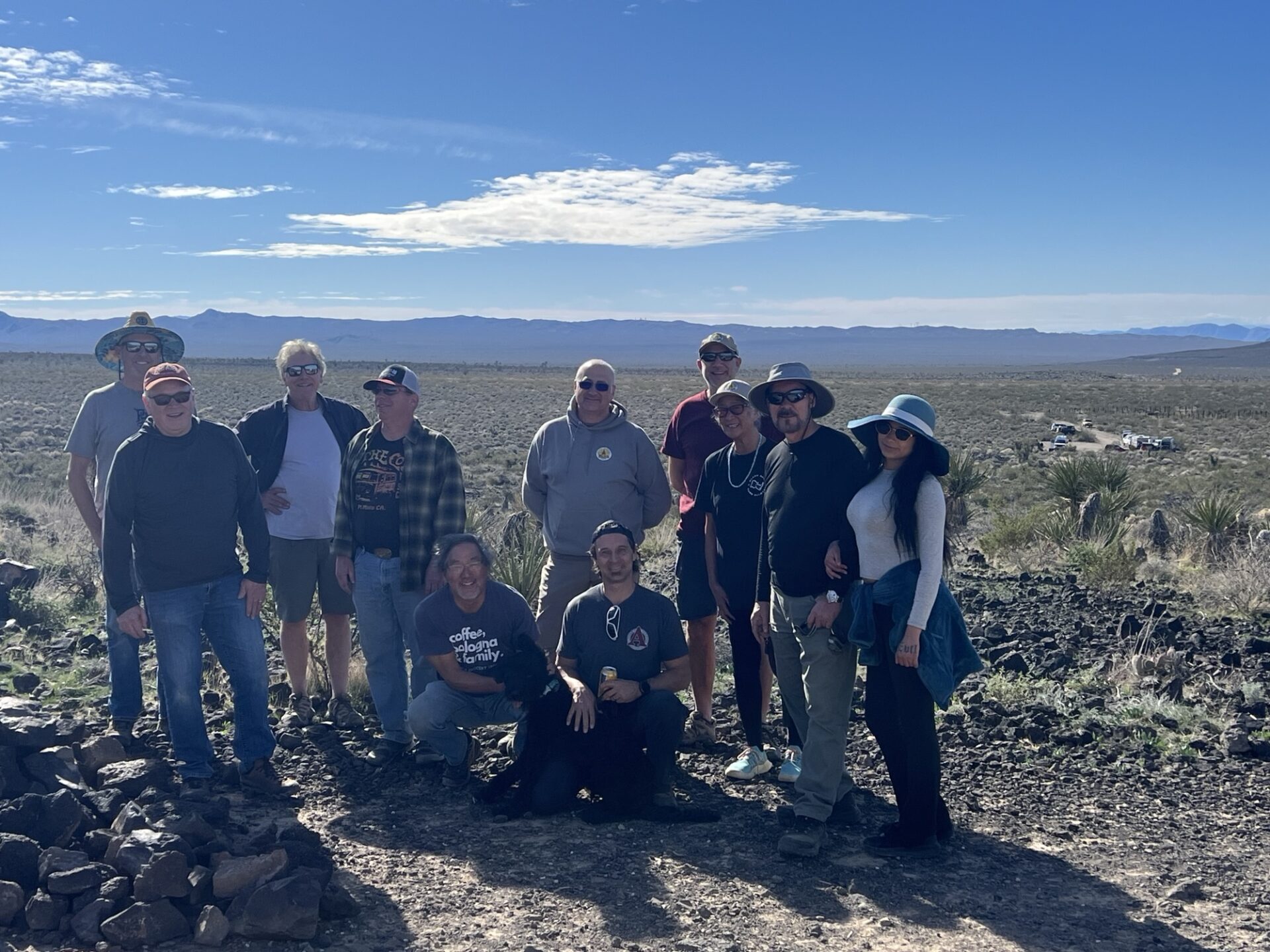
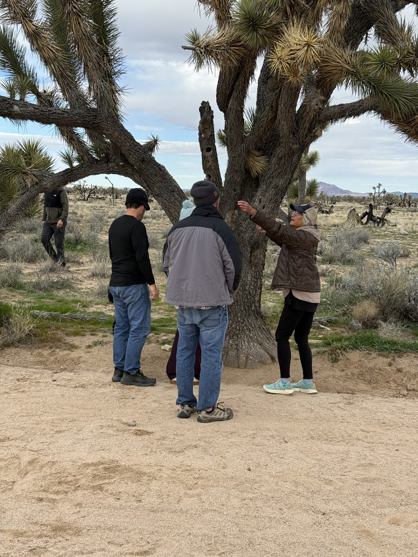
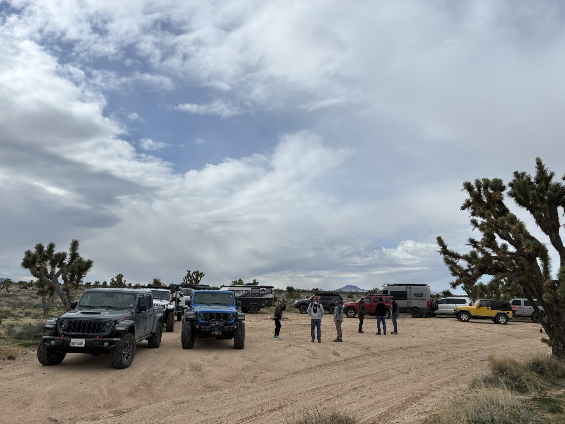
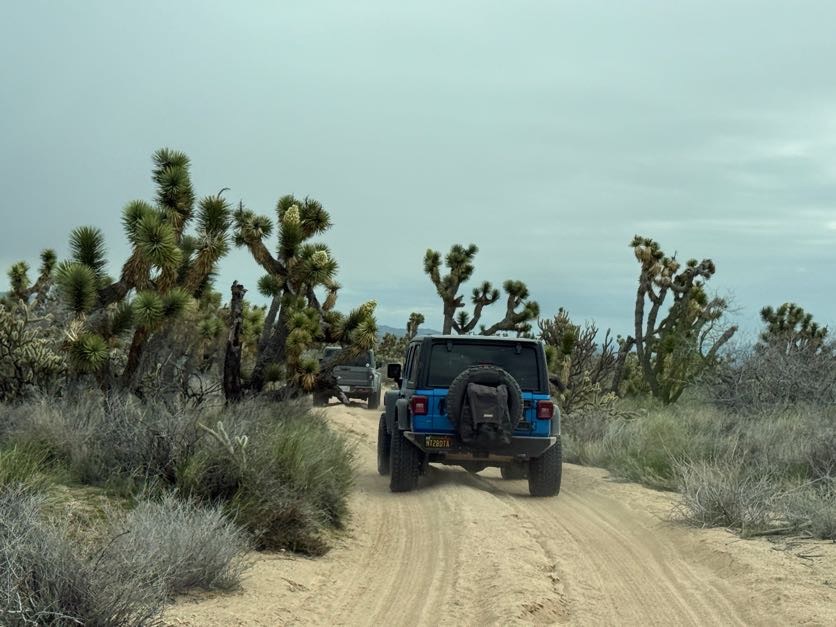
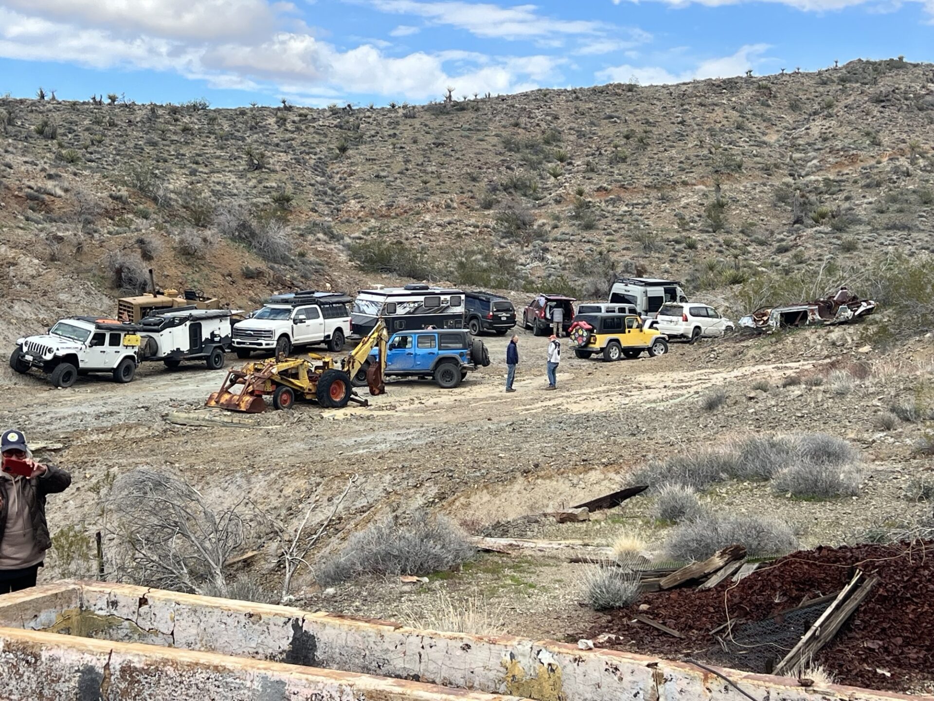
About 15 members rolled out to West Camino near the gun club for a National Public Lands Day outing.
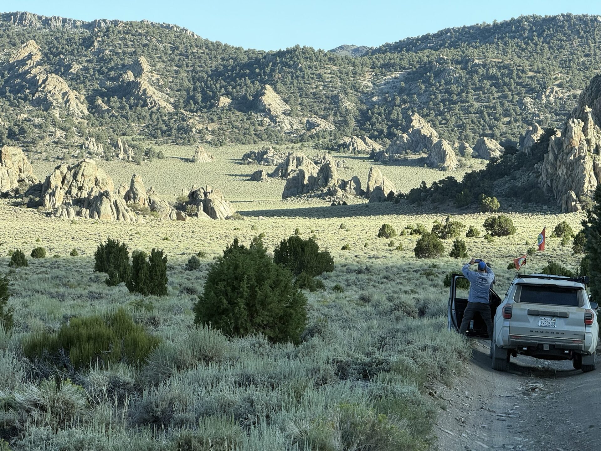
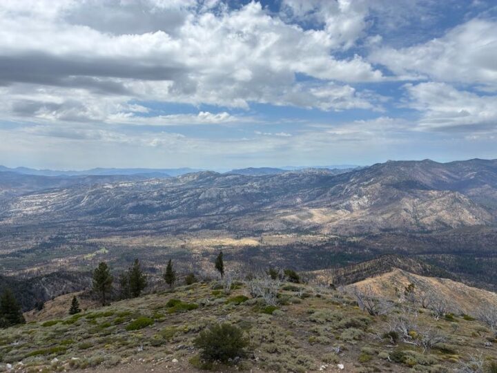
Dust, a few pesky black flies, and gorgeous valley views set the scene as newer members got hands-on seat time and tips from the club’s veterans.
Geocache Challenge
This year’s twist: a two-tier geocache hunt, Easy Line and Hard Line, both leading toward a grand prize location via clues and a hint photo. Skill levels of all stripes got in on the fun — though a few phone GPS apps had opinions of their own, routing some members an “hour and a half away” from caches that were actually in plain sight, or sending them down the wrong trail entirely. Trial, error, and teamwork won the day.
Winners
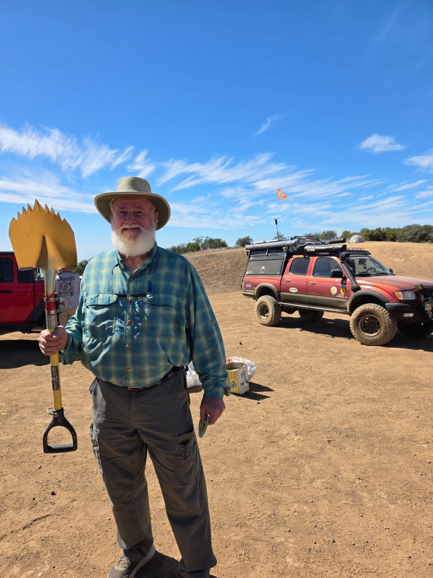
• 🏆 Hard Line: Mike Williams took home the golden shovel, breaking a tie by hauling in the most trash along the way.
• 🏆 Easy Line: Sebastian Fishman won a pair of fire blankets (stove, campfire, engine fire — take your pick).
• Runners-up went home with smaller prizes.
Trail Cleanup
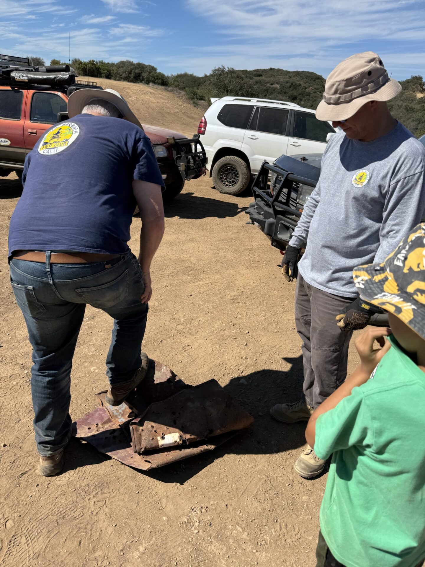
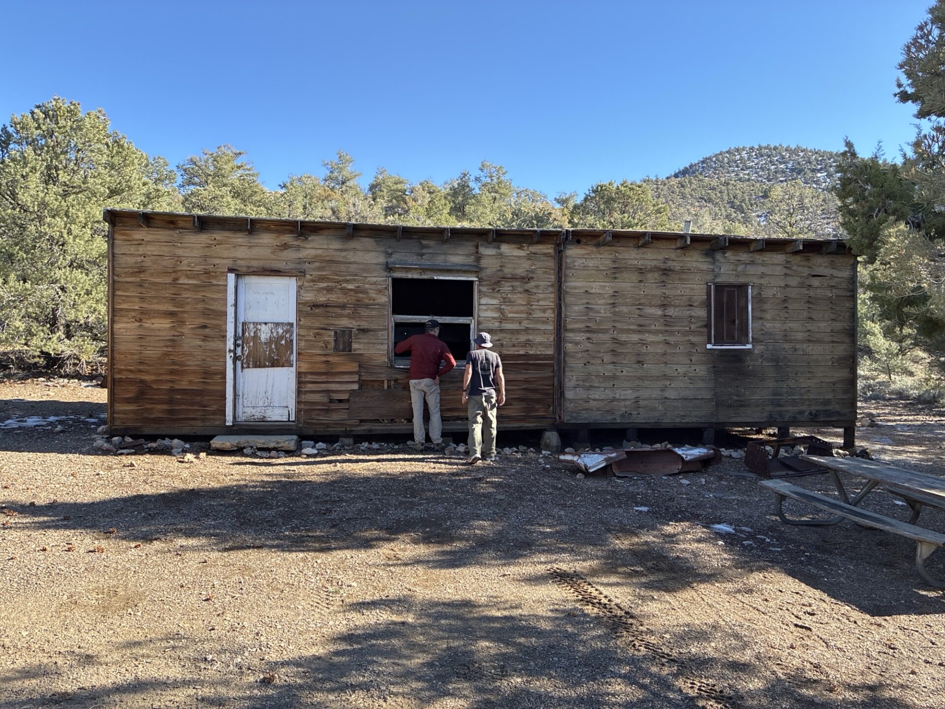
The group hauled out over half a pickup load of trash. Special mention to Peter Green, who crushed and hauled out what was once a car hood — complete with custom “bullet hole” decor — into the back of his Land Cruiser.
The Vibe
Drinks, pastries, good company, and sunshine rounded out the day. Everyone wrapped up and headed home around noon.
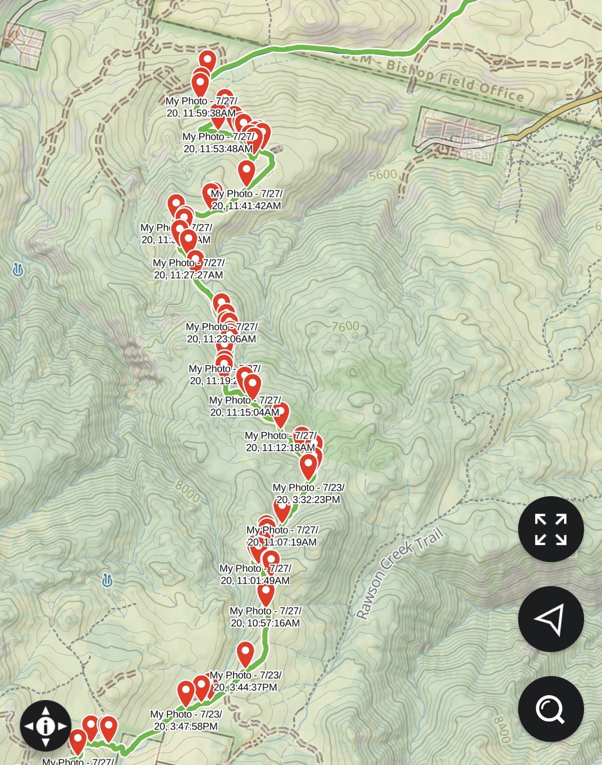
On Thursday August 20th, a small group headed north to Bishop to embark on the annual Coyote Flats run. The group included Brent and Noel in the Jeep JK and overland trailer, Bobbie in the Jeep JL, Matt in the Gladiator (Firetruck), Dave in the 4Runner and me, Steve, in the Jeep JL.
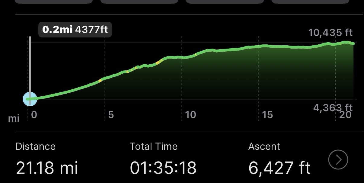
The meeting point was alongside Brown’s Town Campground in Bishop where we aired down and got ready for the 20 miles or so of trail to the planned campsite.
This trail has thrown up quite a few challenges in past years with various mechanical issues and flats making this a bit of a wildcard in terms of how long it takes to get to our campsite destination.
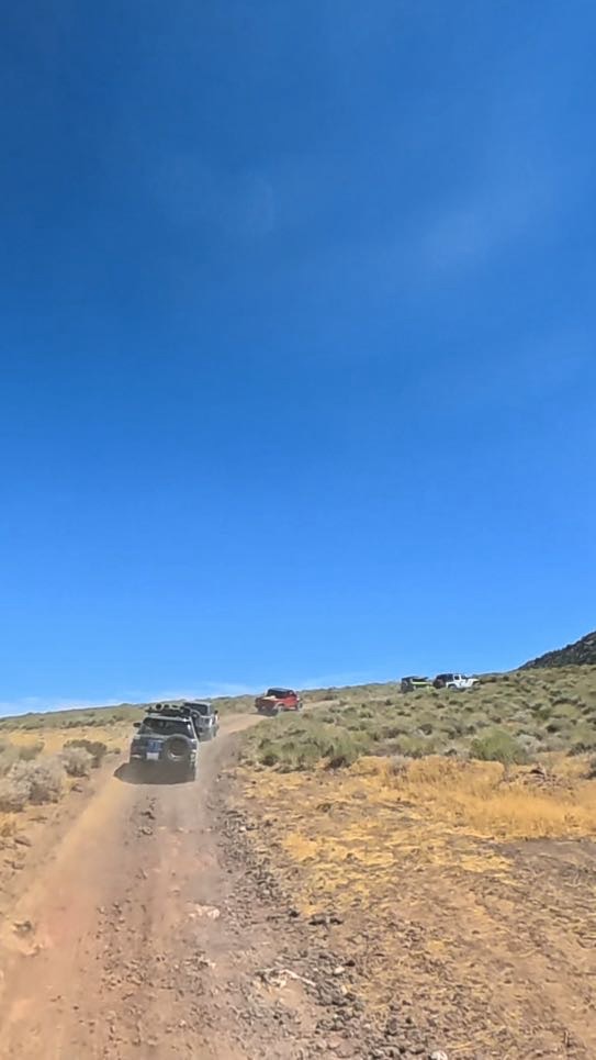
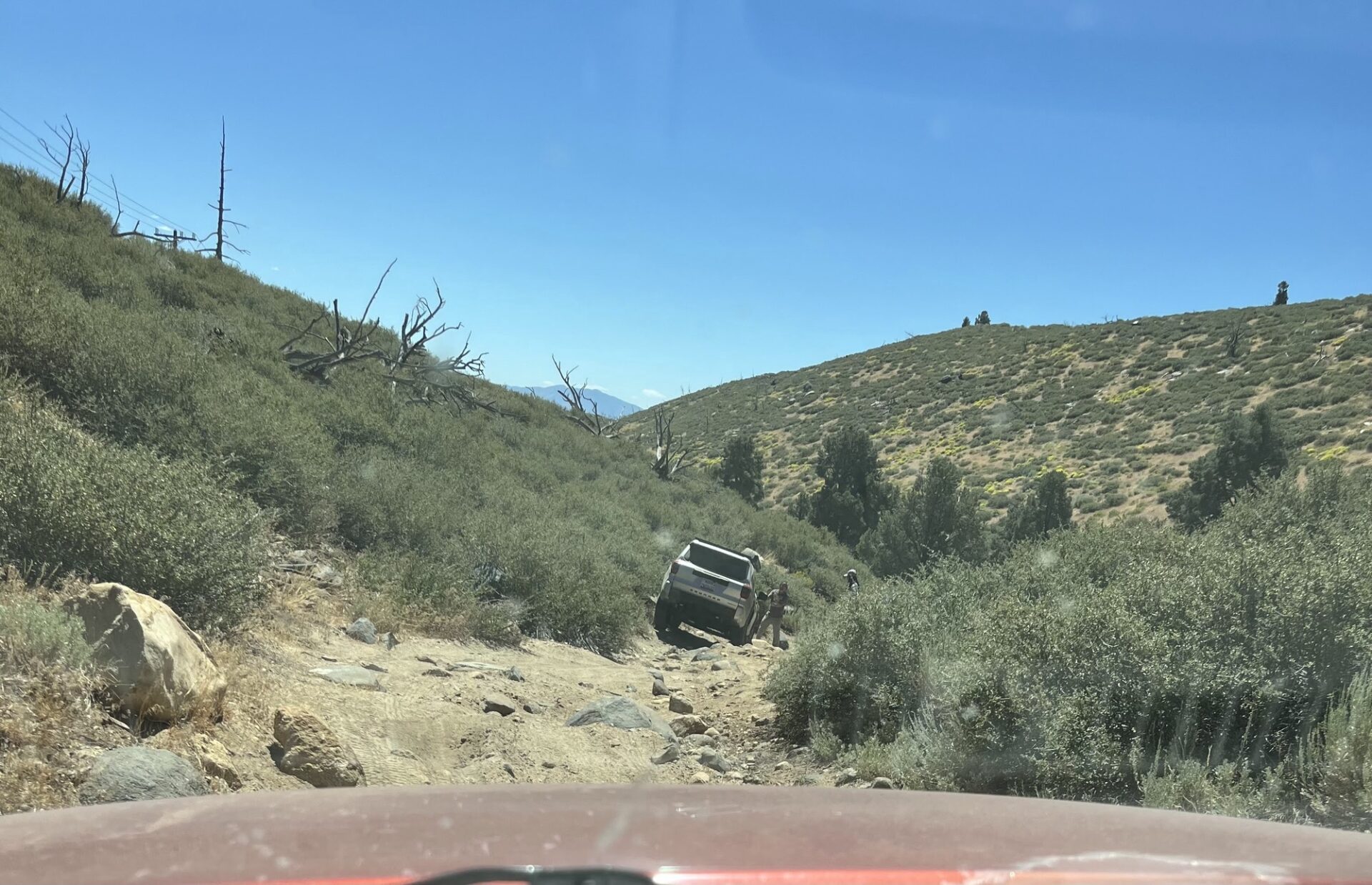
The first part of the trail is a steep ascent with hairpin turns and you do not want to meet a vehicle coming in the opposite direction due to the lack of passing areas.
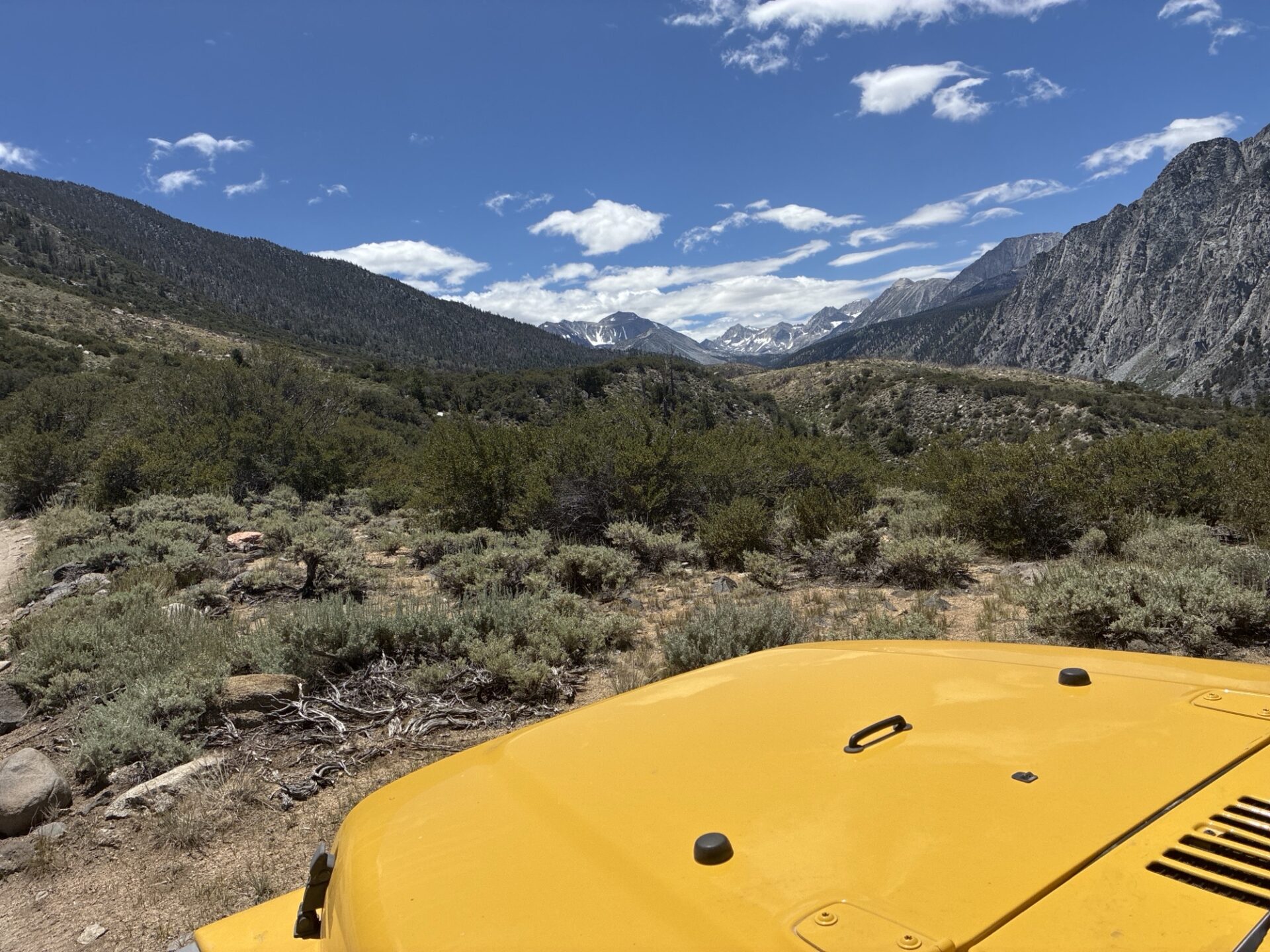
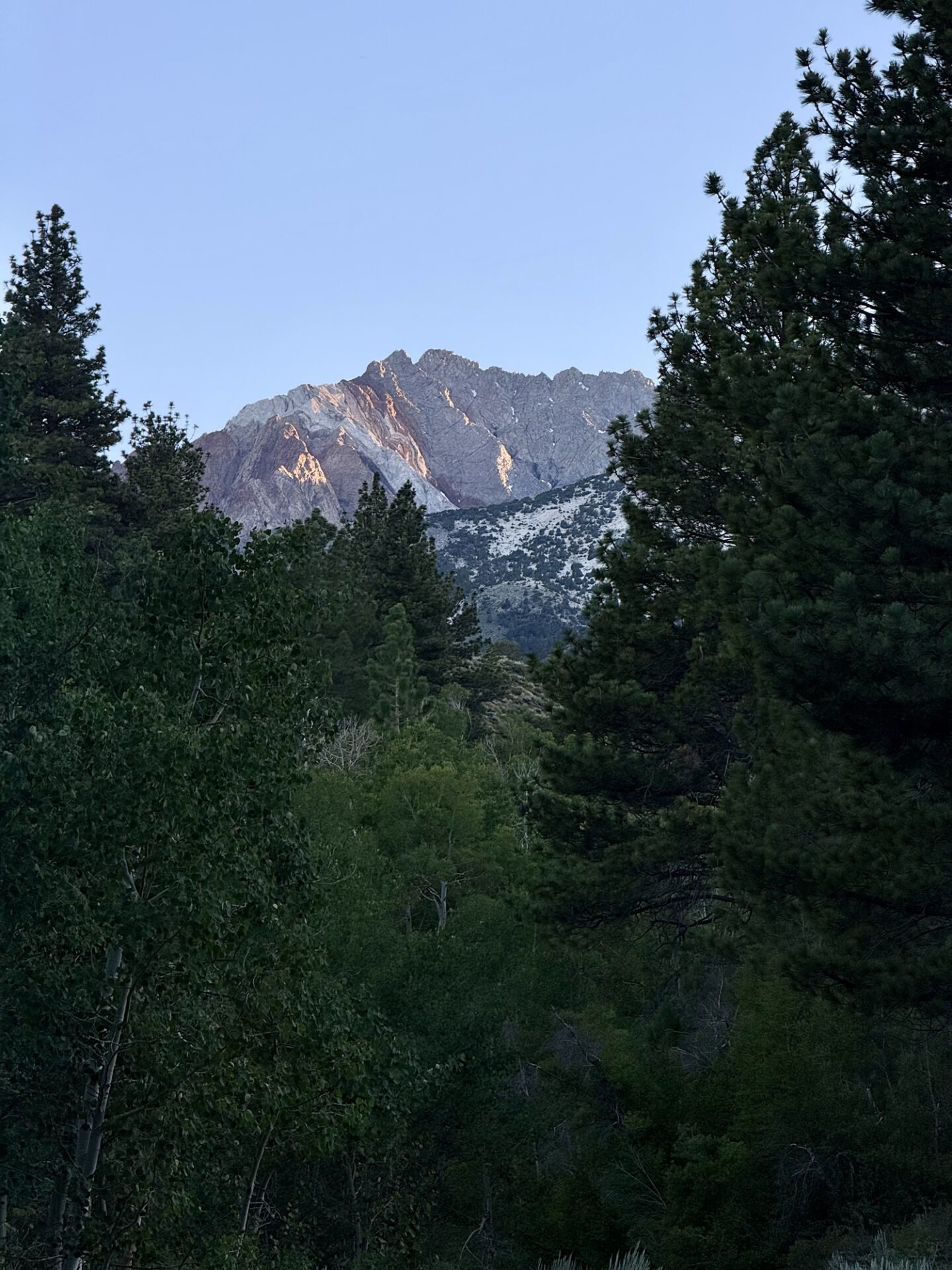
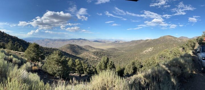
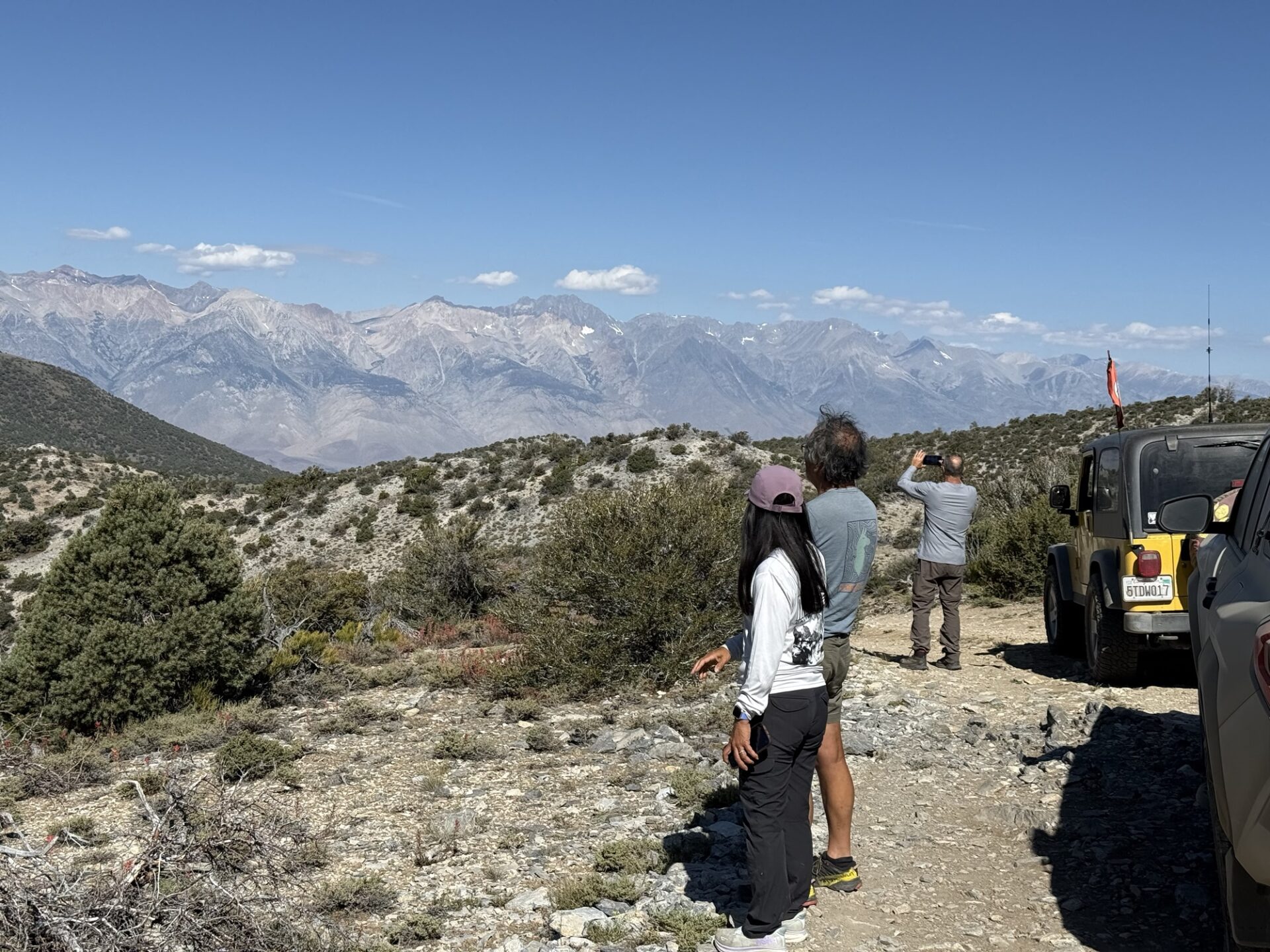
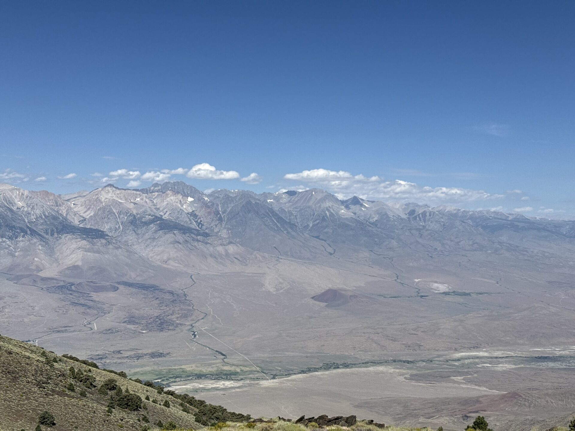
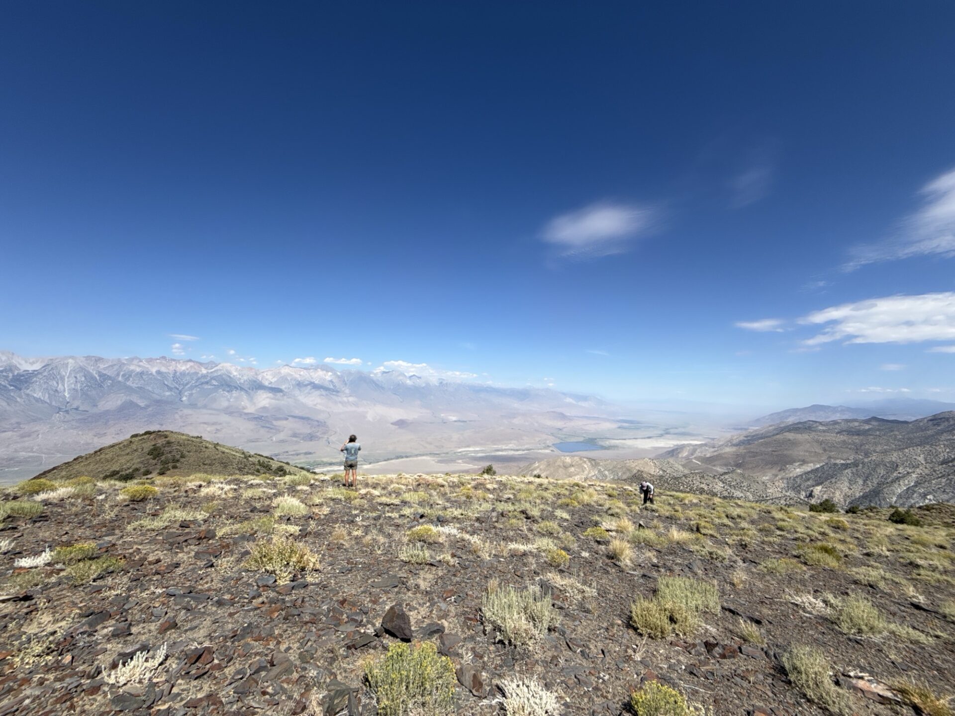
Elevation gains quickly to about 9,500ft and that gets you of out the 100 degree Bishop heat. After the steep climb it’s a beautiful trail across the Coyote flats with far reaching 360 degree views of the Eastern Sierras.
I’m happy to report that this year there were no mechanical issues or flats to contend with and we made camp in 2 1/2 hours.
Tom and Diane in the F250 and overland trailer made the trip but decided to stay at Brown’s Town Campground, the consensus being that the trail to camp would have been too much for the trailer.
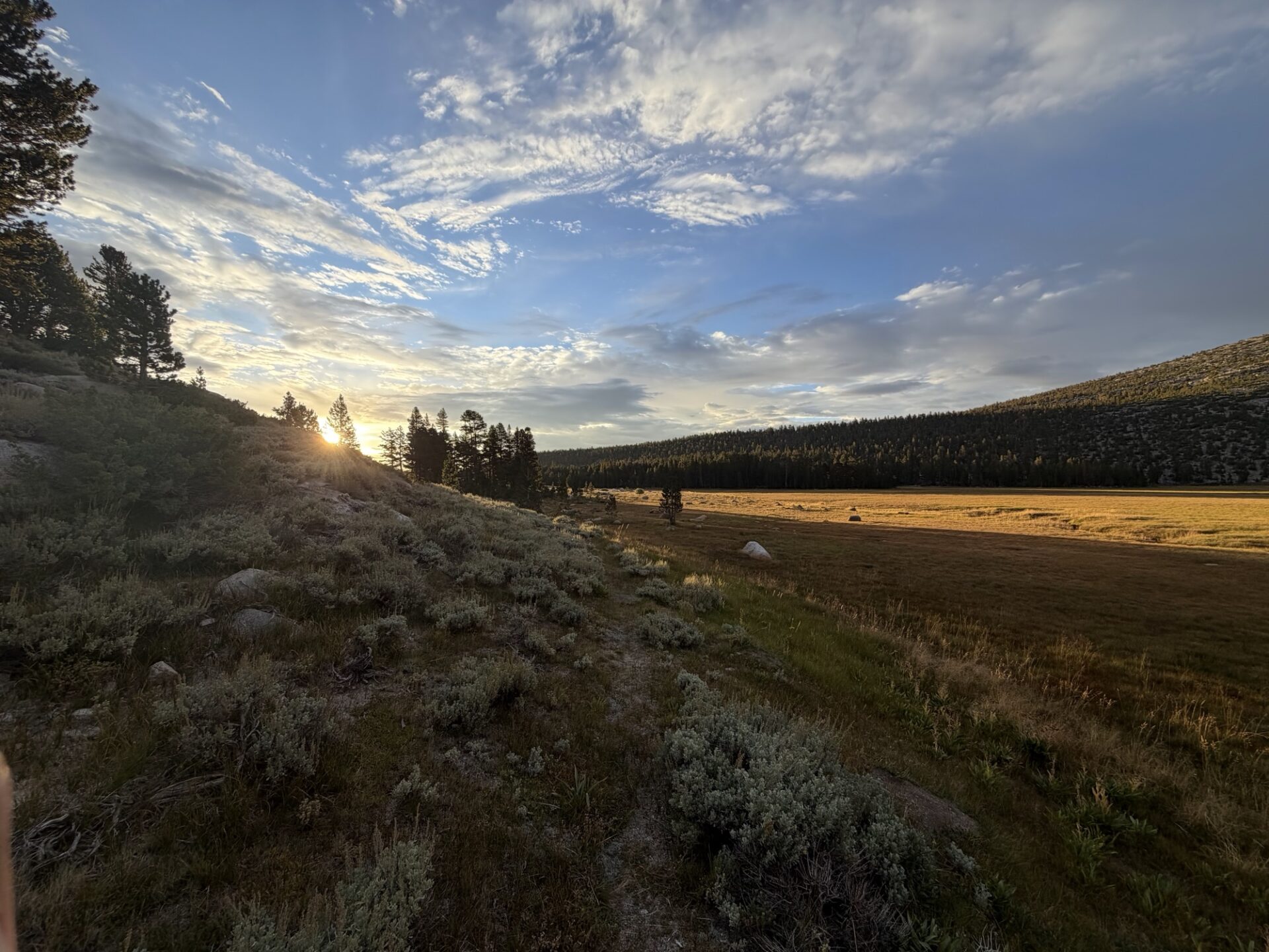
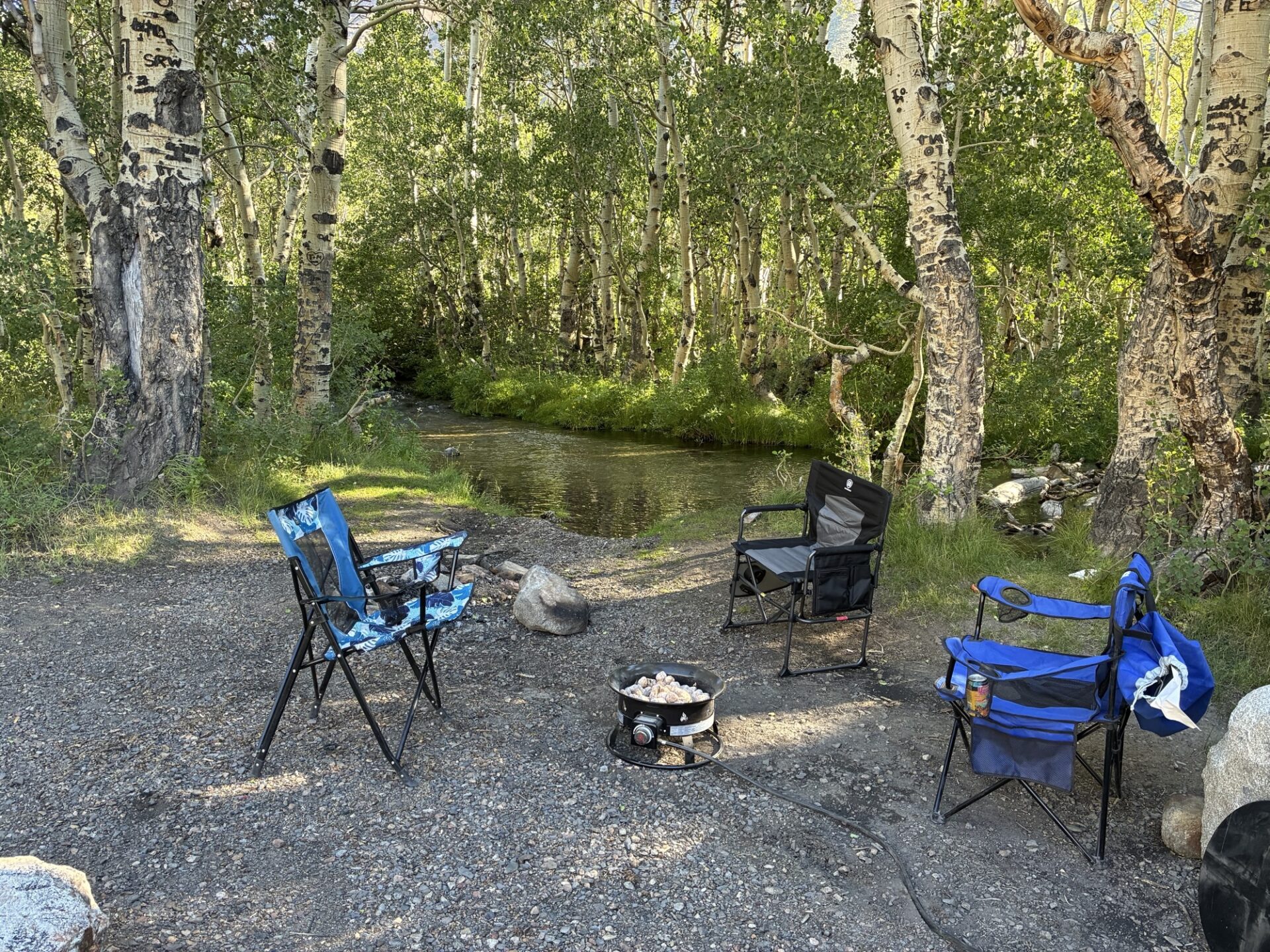
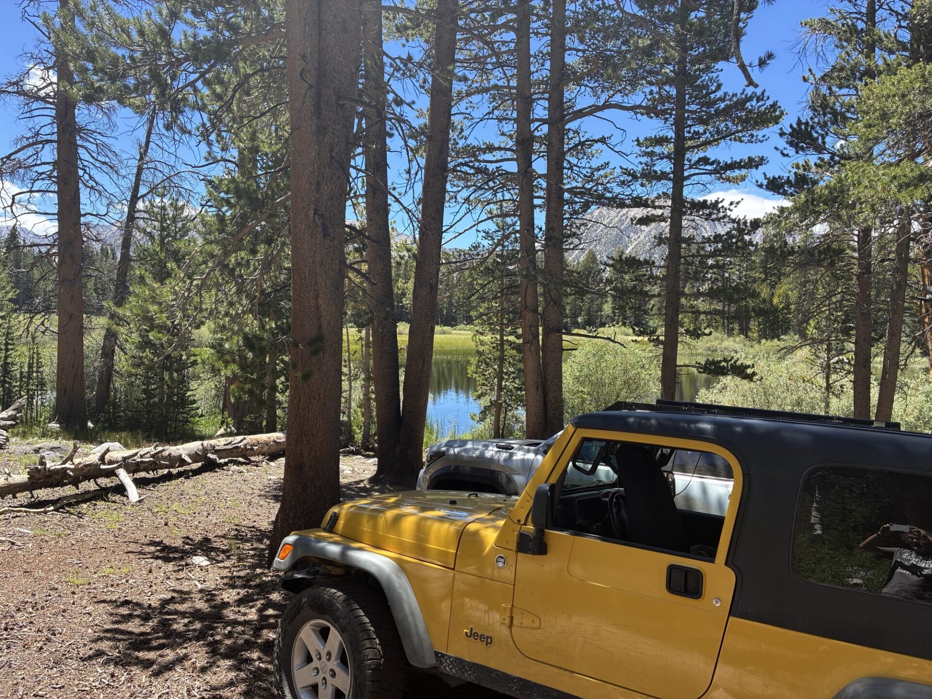
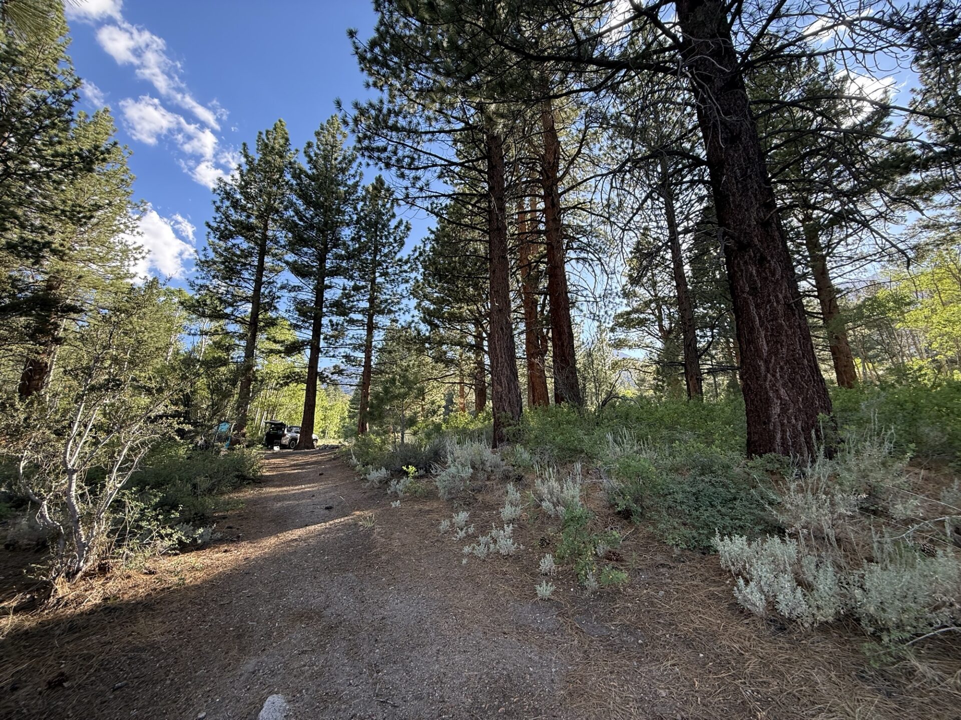
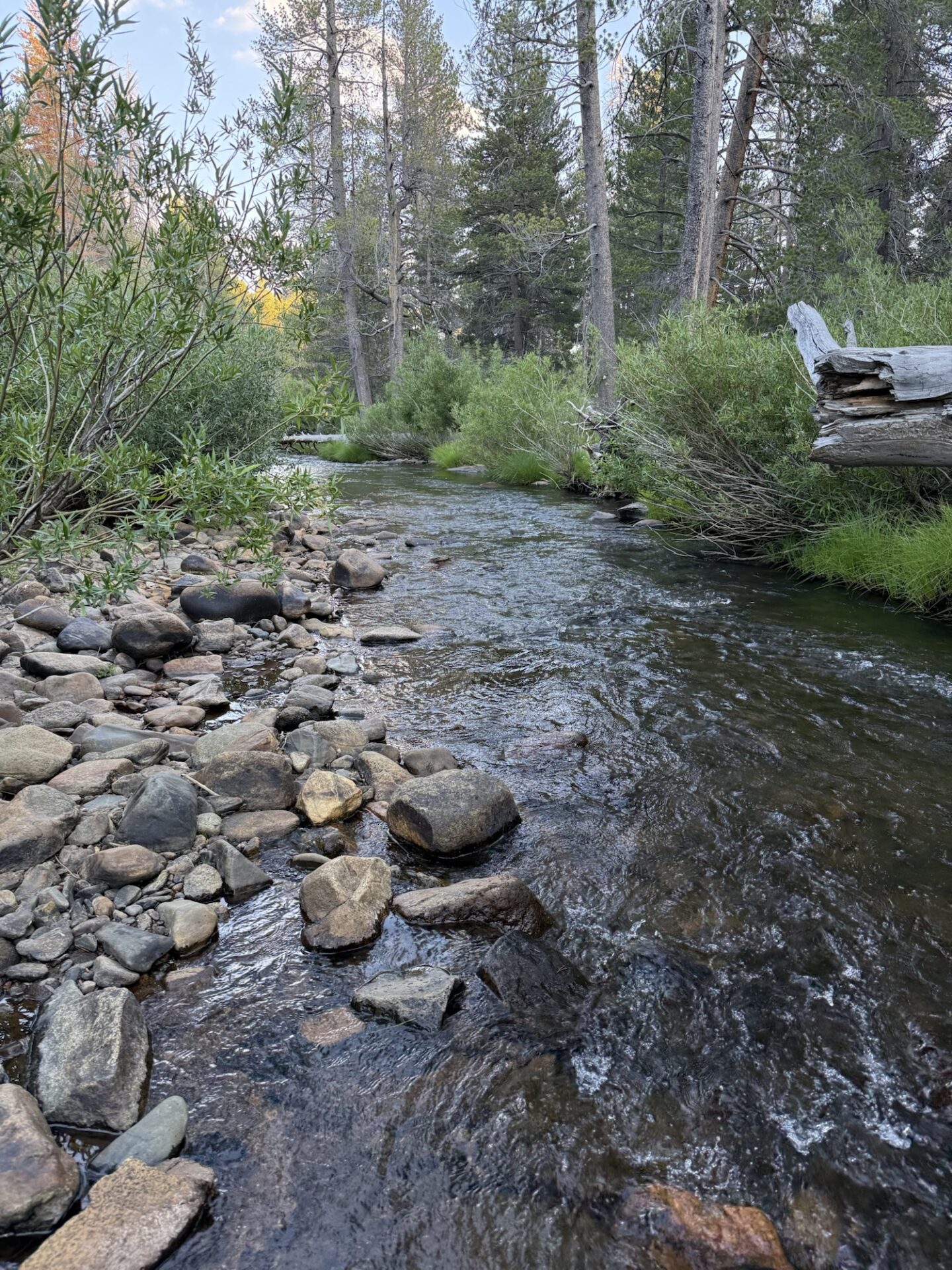
At 10,500ft elevation, Our tree lined camp opens up to a lovely meadow with the sound of the creek running through it. Complete peace and solitude.
This is one of those trips that’s more about relaxing at the destination than hitting the trails over a few days.
On Friday, we made the short hike to Baker Lake. There are a couple of steep ascents which get the heart pumping due to the elevation but the rewards are well worth it. Brent, Dave and Matt did a little fishing and caught some small Golden Trout.
Bobbie and I braved the cold water temps and had a refreshing swim.
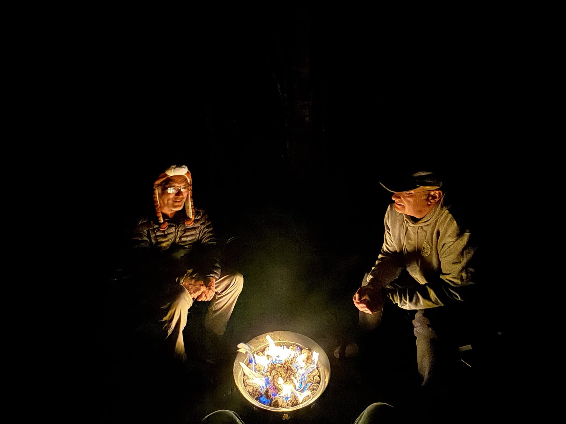
Back at camp, we cooked dinner and gathered round the gas fire pit for conversation before retiring for the night.
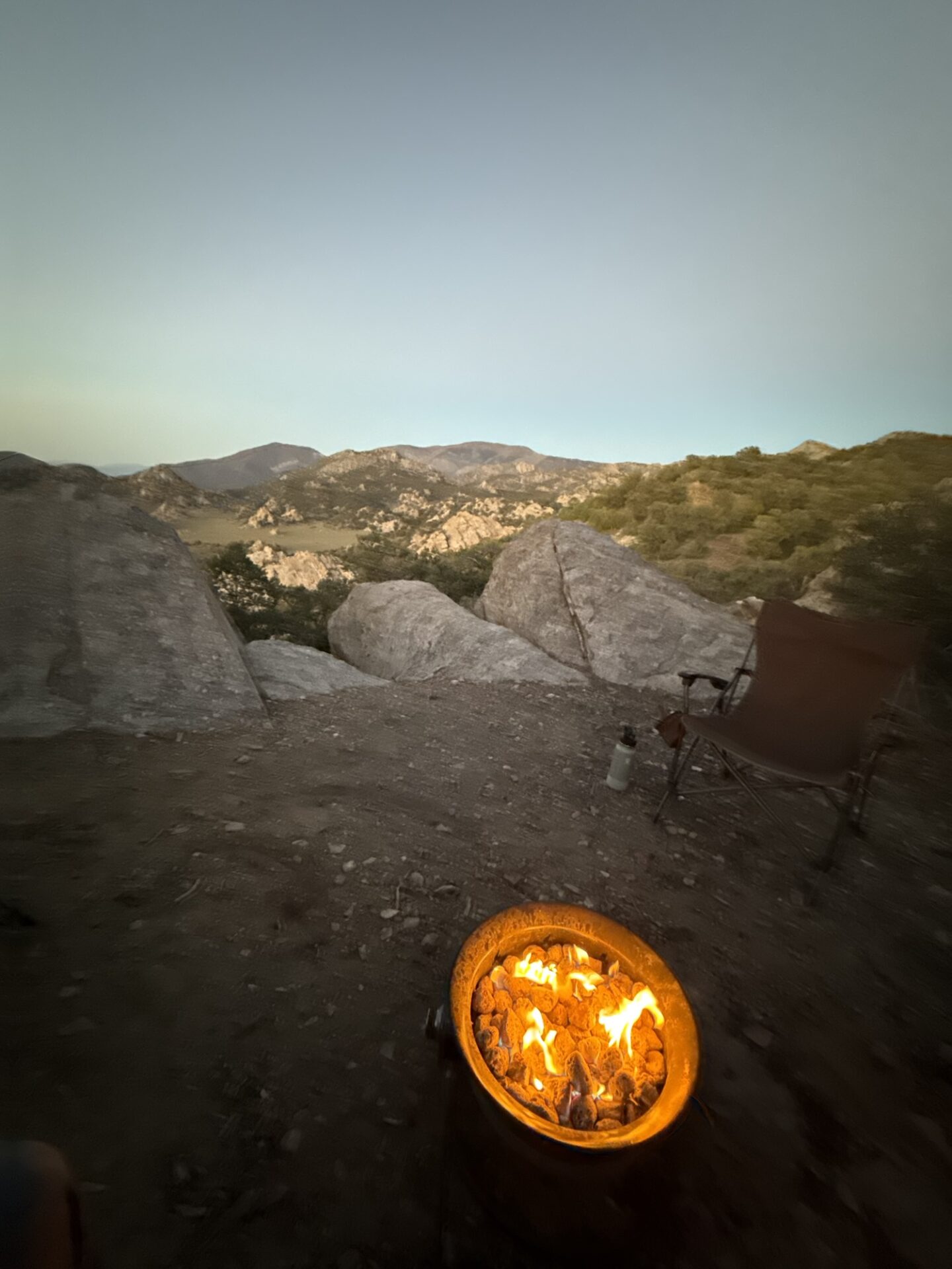
Having an approved gas fire pit is such a great thing to have so you can safely enjoy somewhat of a camp fire experience while remaining responsible and respectful of nature.
On Saturday, Matt and I broke camp to head home stopping at Copper Top BBQ in Big Pine for lunch.
The remaining group members stayed until Sunday, enjoying another relaxing day at camp.
This is such a fun, relaxing trip with a great destination. If you haven’t done it before, I recommend giving it serious consideration for next year.
Thanks to Brent for organizing and being trail boss.–
Participants/Vehicles: Ralph Nobbe in Jeep JL Willys; Danny Kato in Annabelle the LJ; Brad Burk in Lexus 470 GX; Brian and Tiffany Slattery in Chub Chub; Peter Green and family in the Bug; Sebastian and Julie Fishburn, plus their friend David in the Nissan.
We met at the Winchester Gun Club at around 6:45pm. There had been cloud cover all day, and it continued to be there as we departed down West Camino Cielo; however, there was a break in the clouds to the west. We hoped that the clouds would break before the 9:18pm peak of the lunar eclipse.
We went to the first play area, and all except Brad went down and up to the flat area on top. The GX470 was on street tires, so Brad opted to stay on the main road. We gathered at the flat area, and were disappointed to find a truck parked at the prime spot. So we parked in a different spot.
Brad and I drove in Annabelle across the main road and up the hill to the west, as I had been up there before, and remembered a fairly big flat spot at the top, where I thought we could all hang out while waiting for the eclipse. Unfortunately, the flat area at the top was quite small, so we came back down.
Peter had been flying his drone, following us up the hill, when he lost contact with his drone, and it didn’t return to home base, as he expected it to. I gave him a ride up to the top of the hill, so he could go look for it. Bryan, Tiffany, Sebastian and David followed in Chub Chub. We couldn’t see the drone, but eventually, Peter figured out how to make the drone make noise and flash lights. Bryan and David found it almost immediately after it started making noise.
We drove/walked down the hill, and gathered on the flat spot. I broke out Darrell’s propane firepit, and we all sat around, shooting the shit, like you do. It was warm enough to sit around in shorts and t-shirts, even without the fire. The clouds were slowly clearing from the west, so we just waited. Peter and family left, as it was a school night, and the kids needed to get to bed.
We saw the moon at around 8:45pm, but the clouds quickly covered it up again. So we waited, and watched the clouds slowly move to the east. At around 9:17, the clouds broke up, and we had a mostly full view of the full lunar eclipse, and could watch the line of Earth’s shadow slowly move across the moon form the 10 o’clock position towards the 4 o’clock position. Clouds would come and go, partially obscuring the moon.
At around 10pm, we packed up and went back towards the gun club. All the way back to Santa Barbara, you could look up at the moon, and see that it was still in partial eclipse. So beautiful.
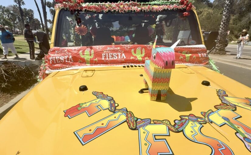
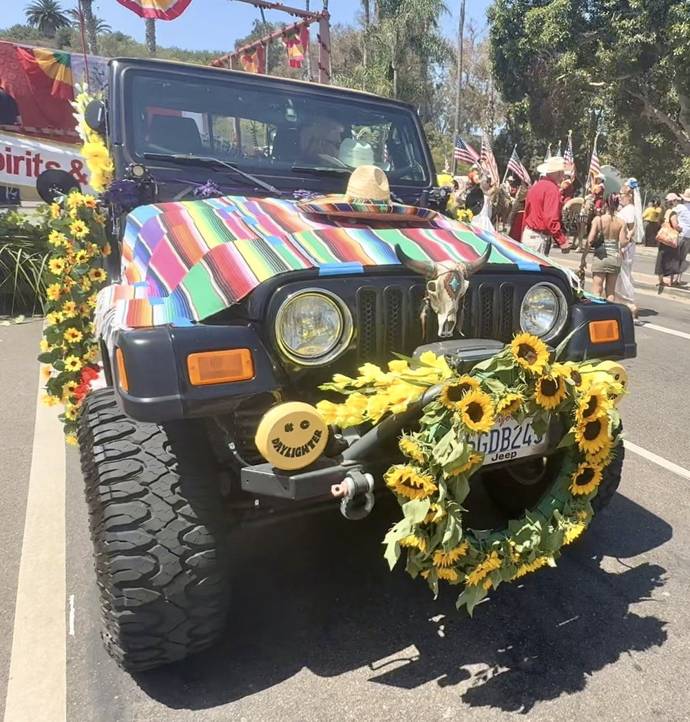
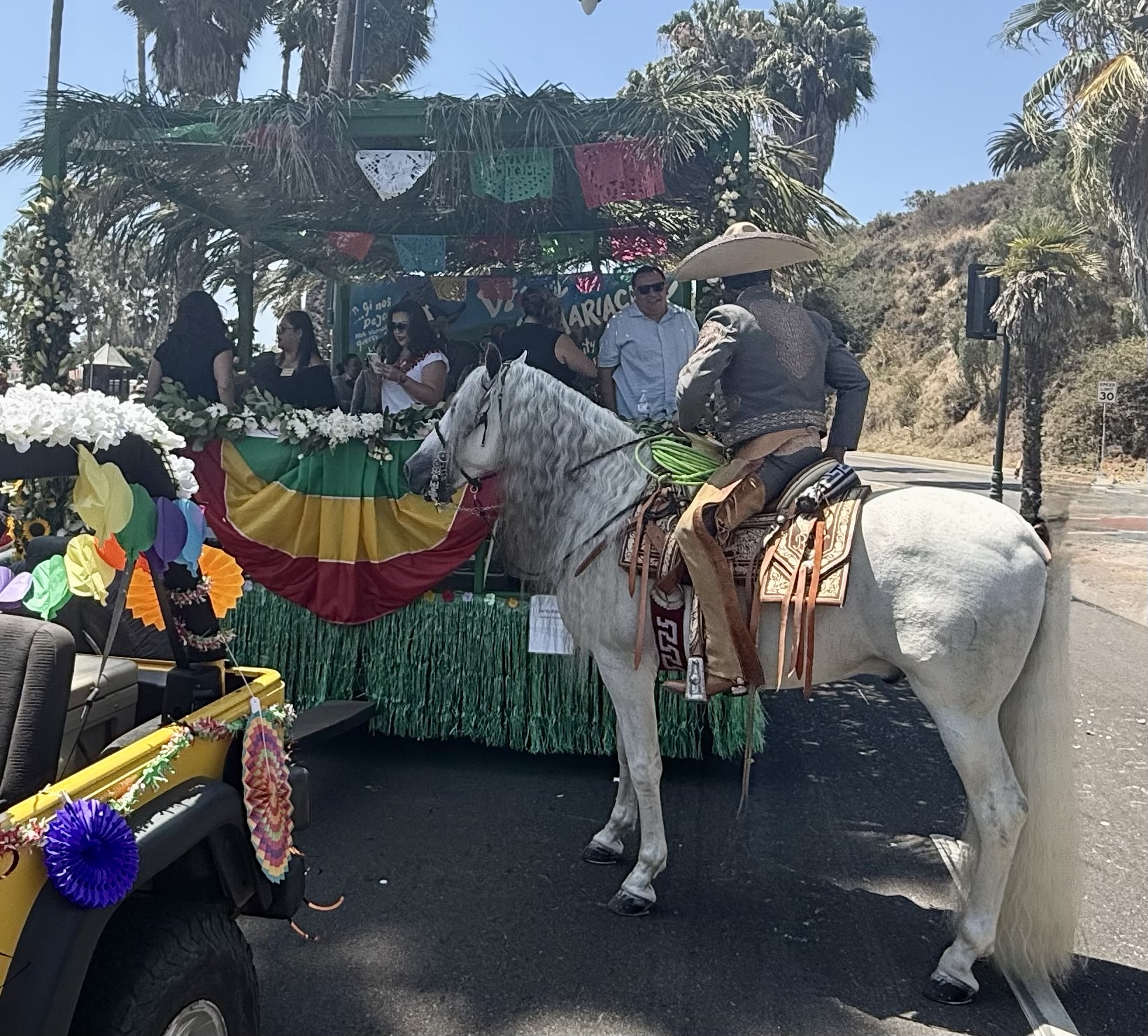
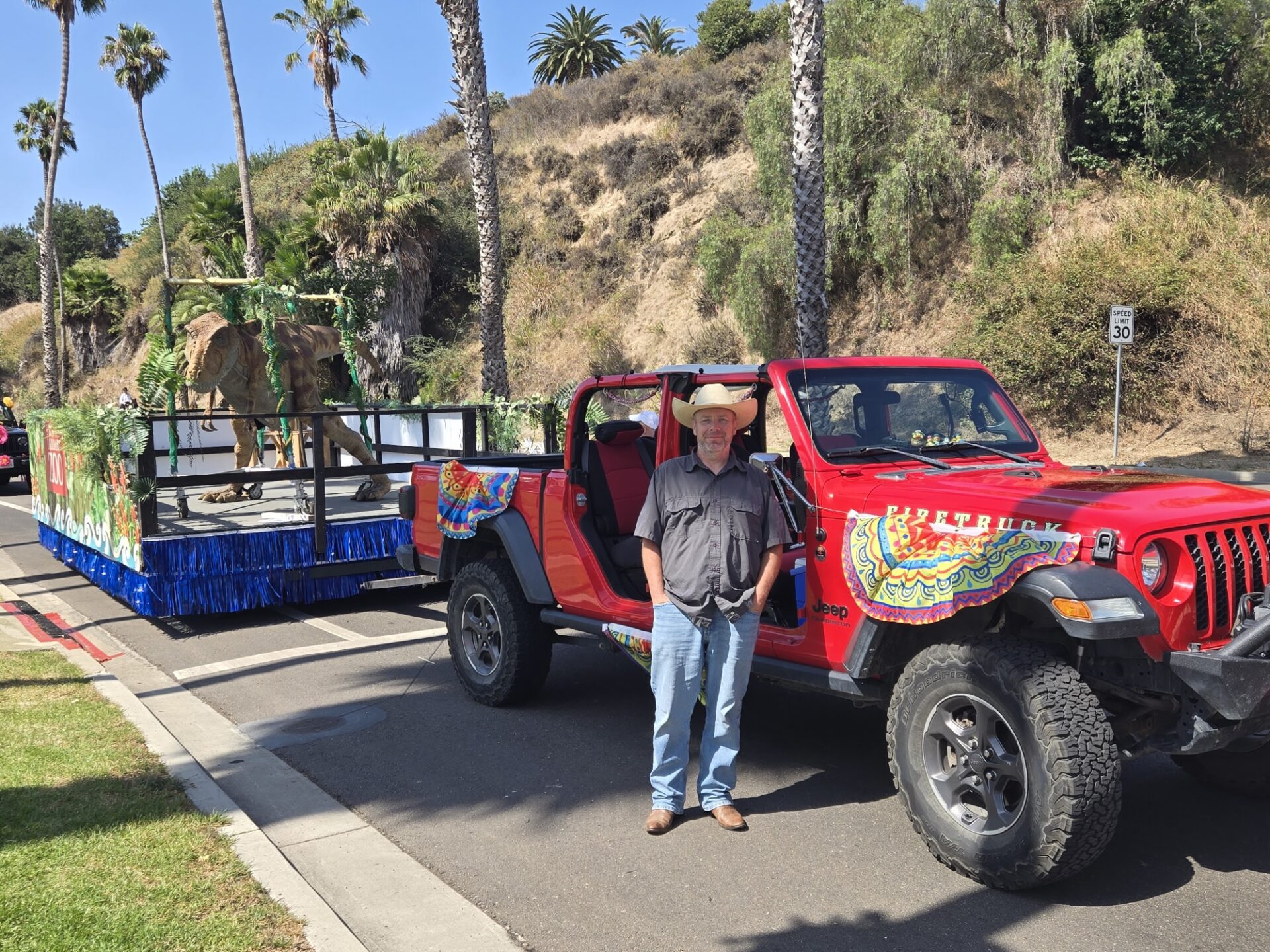
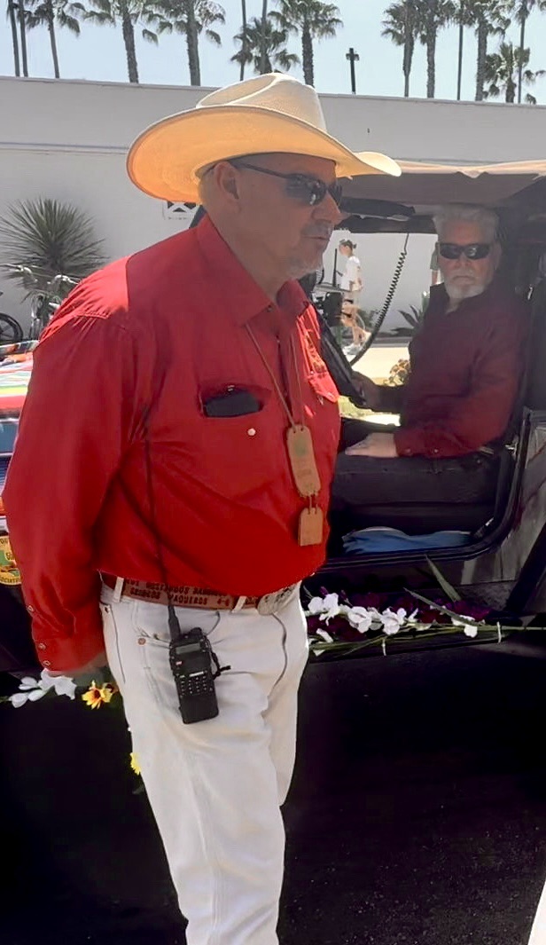
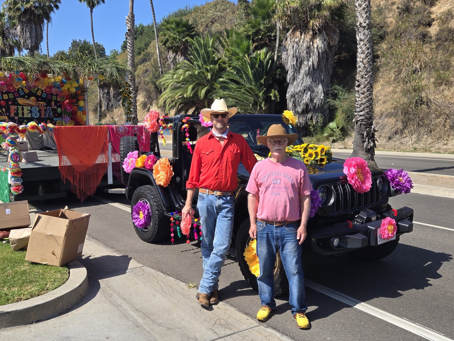
On Friday, August 7th 2026, the Santa Barbara 4 Wheel Drive club pulled the seven major sponsored floats in this year’s old Spanish days fiesta parade thus continuing a decade’s long commitment of volunteerism to the city of Santa Barbara and the Old Spanish Days Committee.
With an estimated 50 to 75,000 spectators lining Cabrillo Boulevard, our annual fiesta parade is the largest equestrian event in the country with horses from around Santa Barbara County, Santa Ynez, Ventura County, Los Angeles and more.
This year’s Grand Marshal was none other than our local and longtime news reporterJohn Palminteri. There were many other dignitaries in the parade, including mayor Randy Rowse as well as past fiesta royalty.
The Santa Barbara 4 wheel drive club’s commitment to this event goes far beyond just a very long day that takes place starting at 6 a.m. on parade day.
When we pull the decorated floats out from the Carriage Museum.on to Cabrillo boulevard where they are staged.
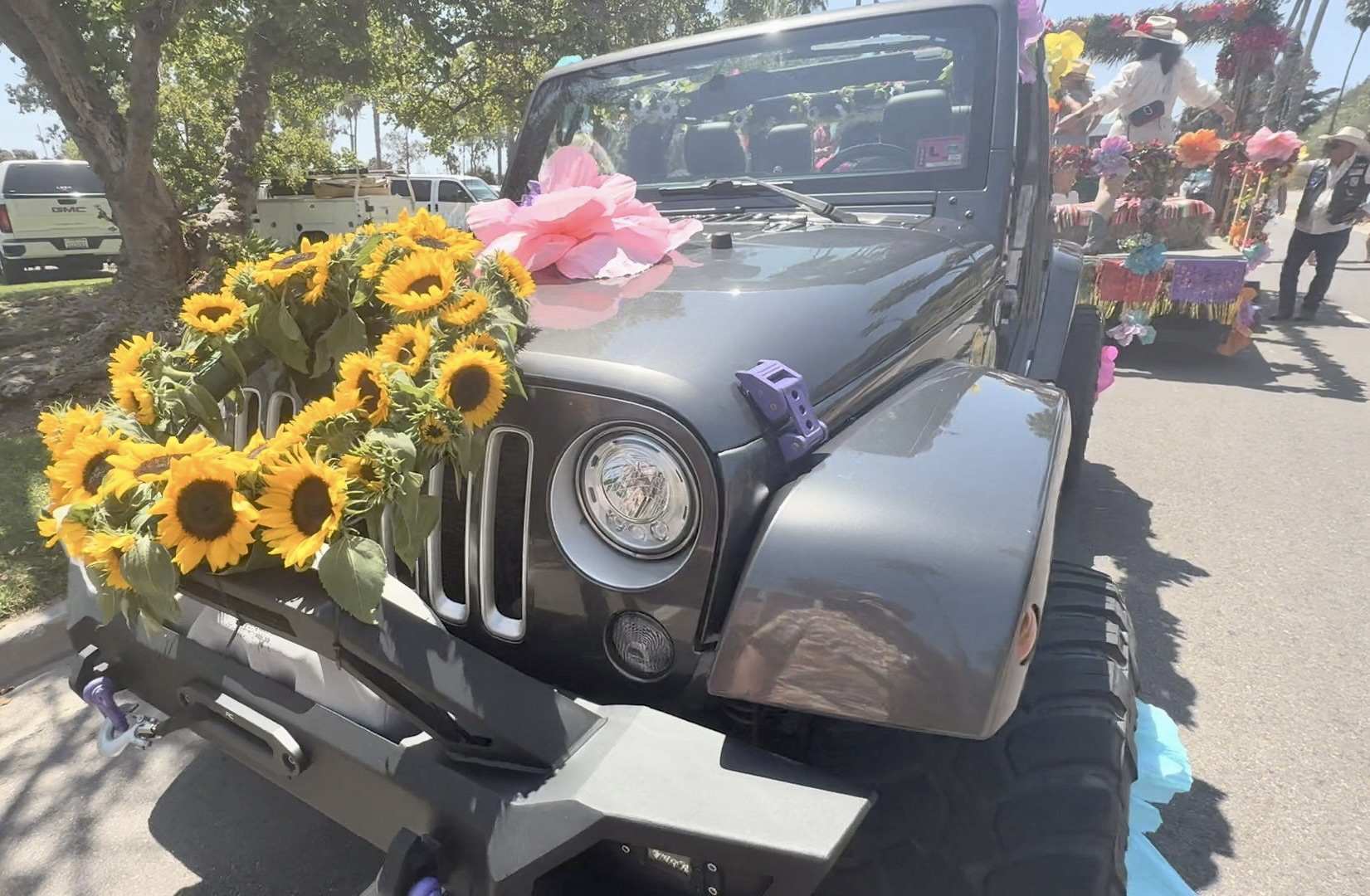
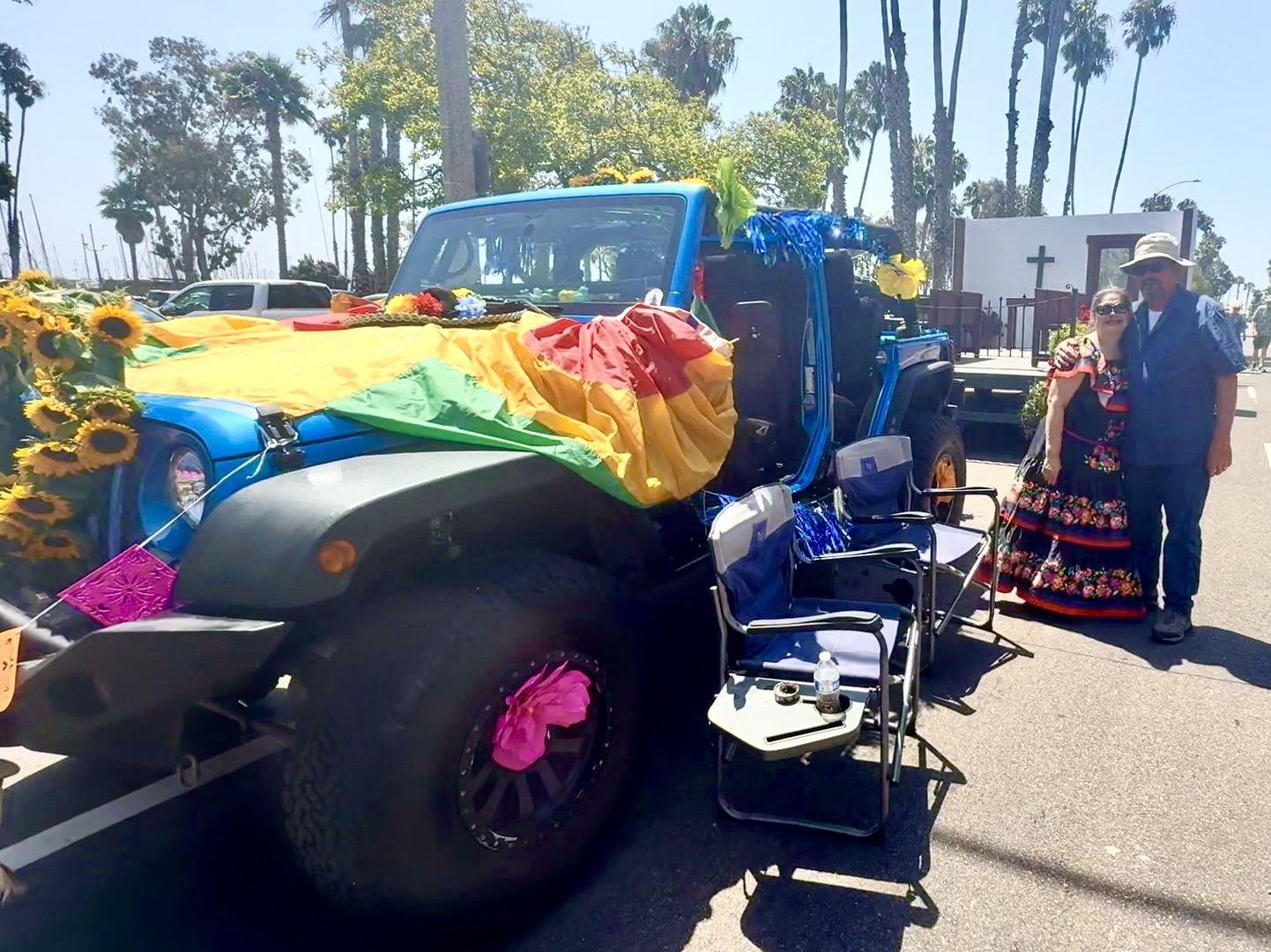
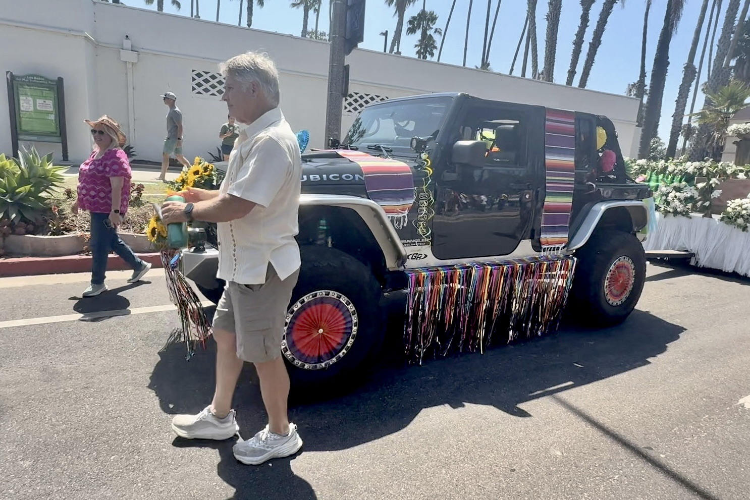
There all of our 4WDs are then carefully decorated and eventually we pull the actual designated floats slowly down the parade route giving all aboard a safe,smooth ride.
The following day we pull all the floats back to the carriage museum by 7a.m..
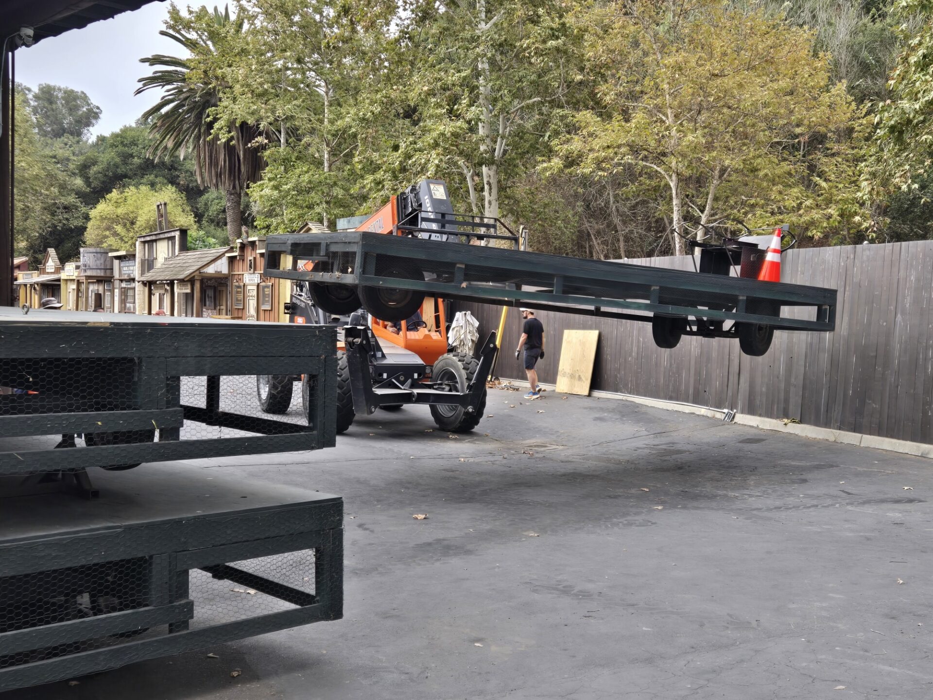
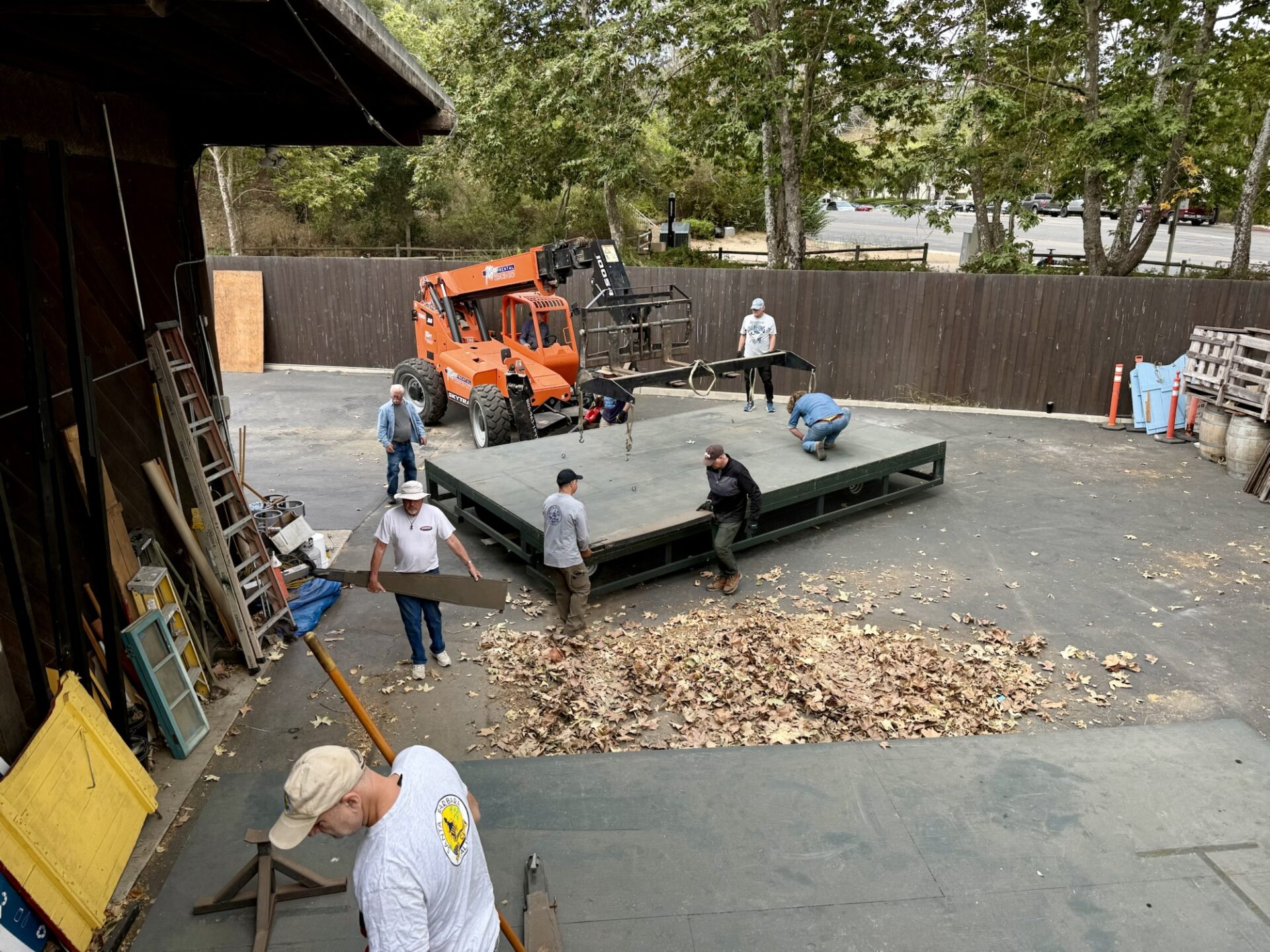
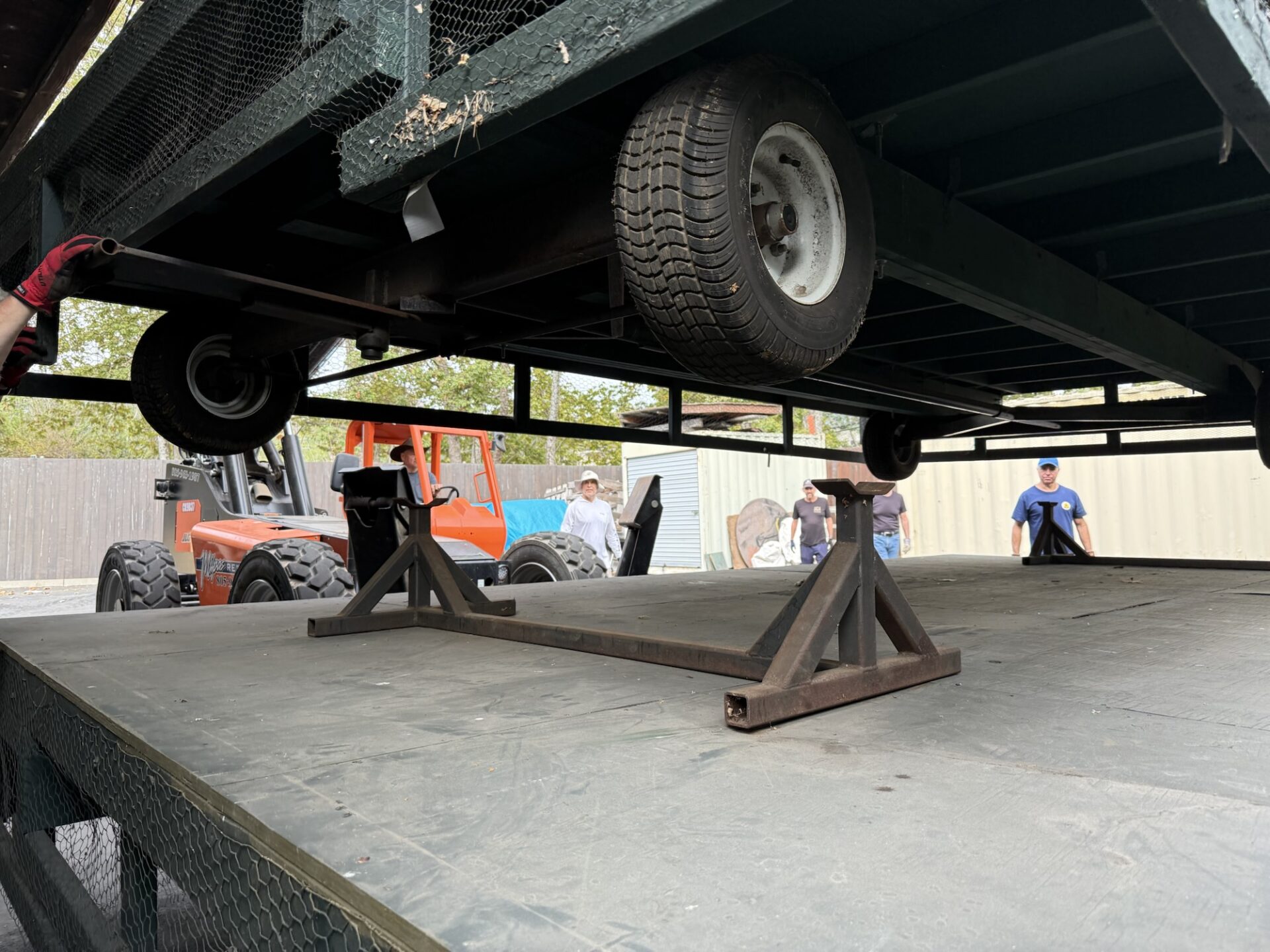
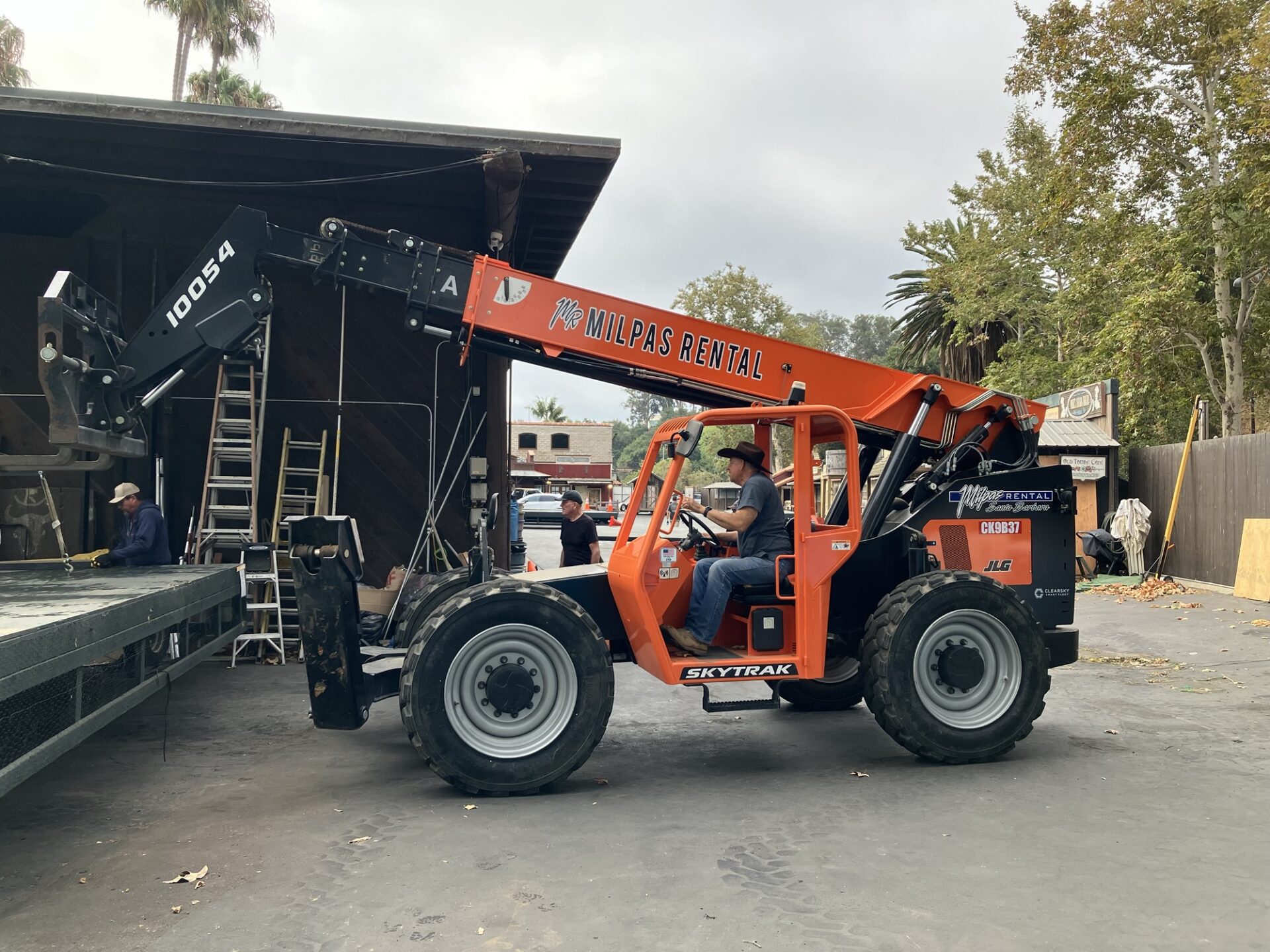
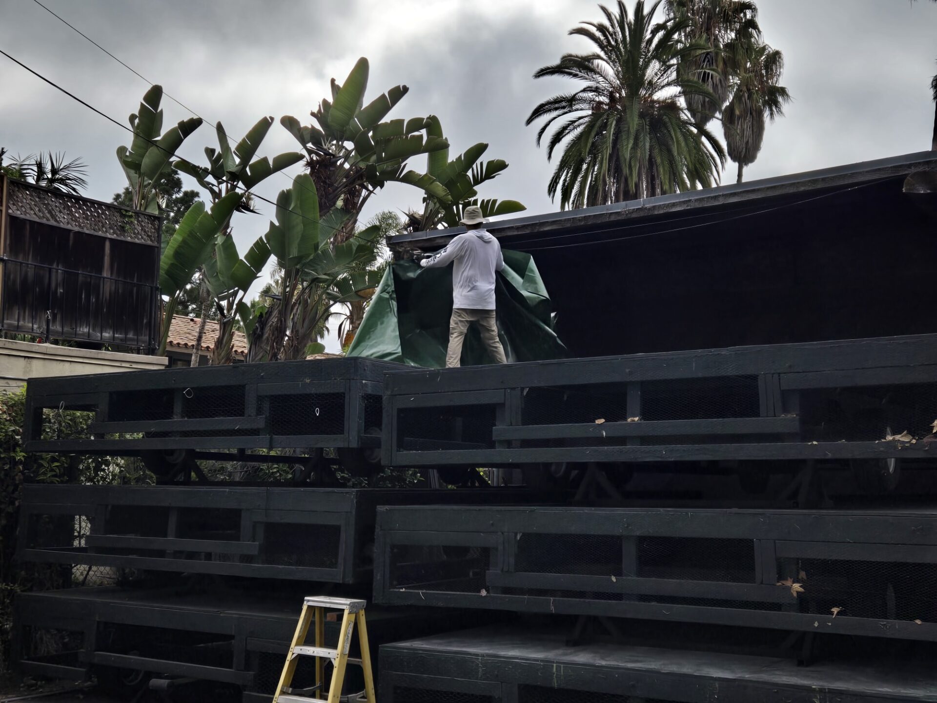
The SB4WDClub for decades did our utmost to maintain the older float bases but when it was time for them to go, the SB4WDC volunteered to completely redesign (thank you Tim) & reconstruct all new float bases from the ground up, providing all the labor as well as maintaining them into the future.
We also do all the, un-stacking and restacking before and after the fiesta week.
The current set of new float bases should now last for many years to come.
Back to the Parade, a few more shots of the team in action:
Many thanks to our volunteer float pullers this year, Tim, Kirk, Darrell, Richard and Christina, Doug and Debbie, Matt, Liz & Bill. Additionally, special thanks to our invaluable alternates, Oliver and Kristina and our emergency backup, Mr. reliable, Dick Hoppe.
All in all, it was a fantastic day enjoyed by thousands as well as our club volunteers.
Participants: Danny Kato (leader), Darrell Carver, Sebastian Fishman, and Eric and Aom Alen
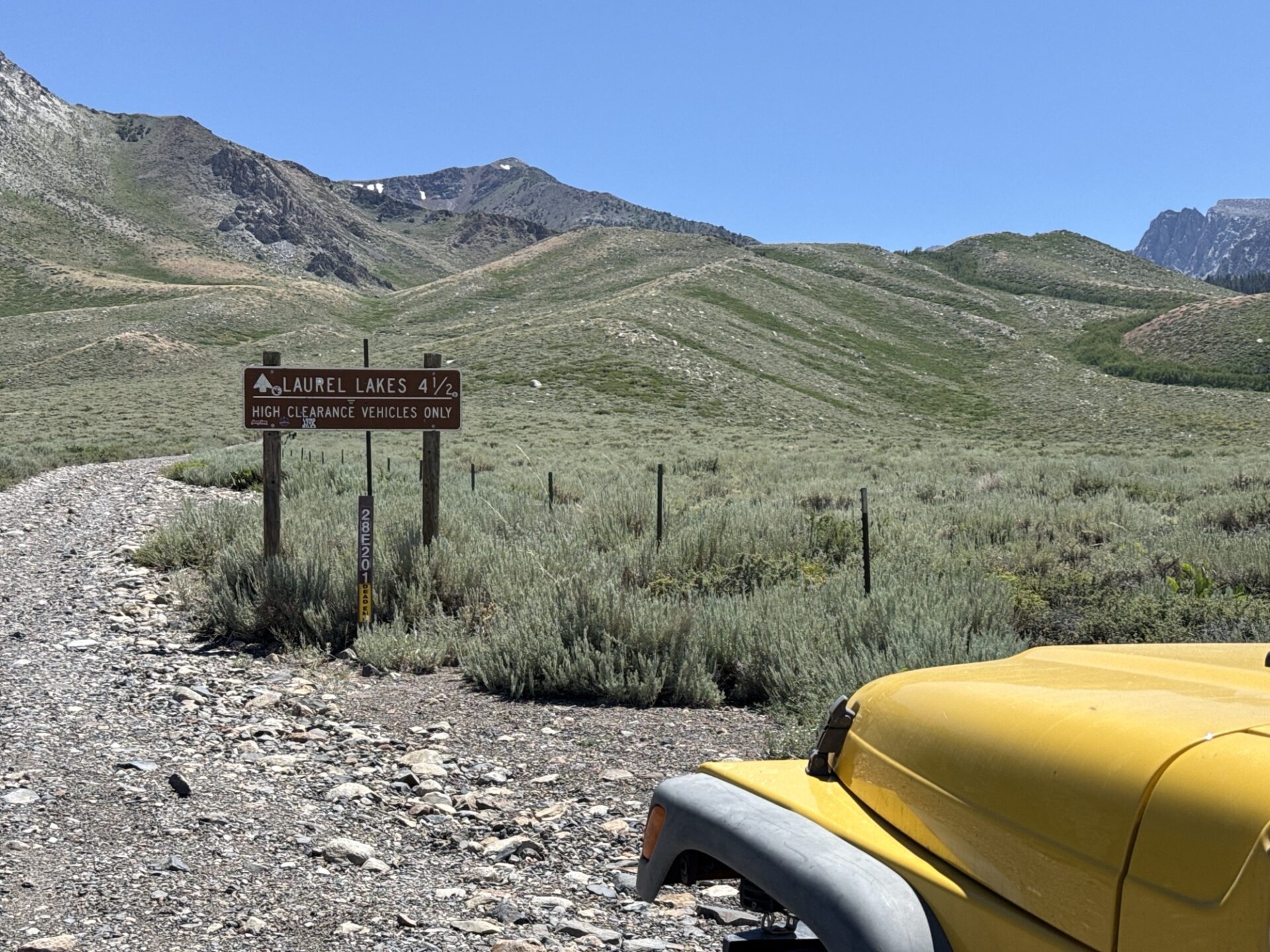
Day One: Danny, Darrell and Sebastian met at Roan Mills Bakery in Fillmore for some yummy baked goods, then carpooled to Lone Pine, where we had lunch at the Alabama Hills Cafe. Got gas in Bishop, and made our way to the Laurel Lakes trailhead, just 13 minutes to the south of Mammoth.
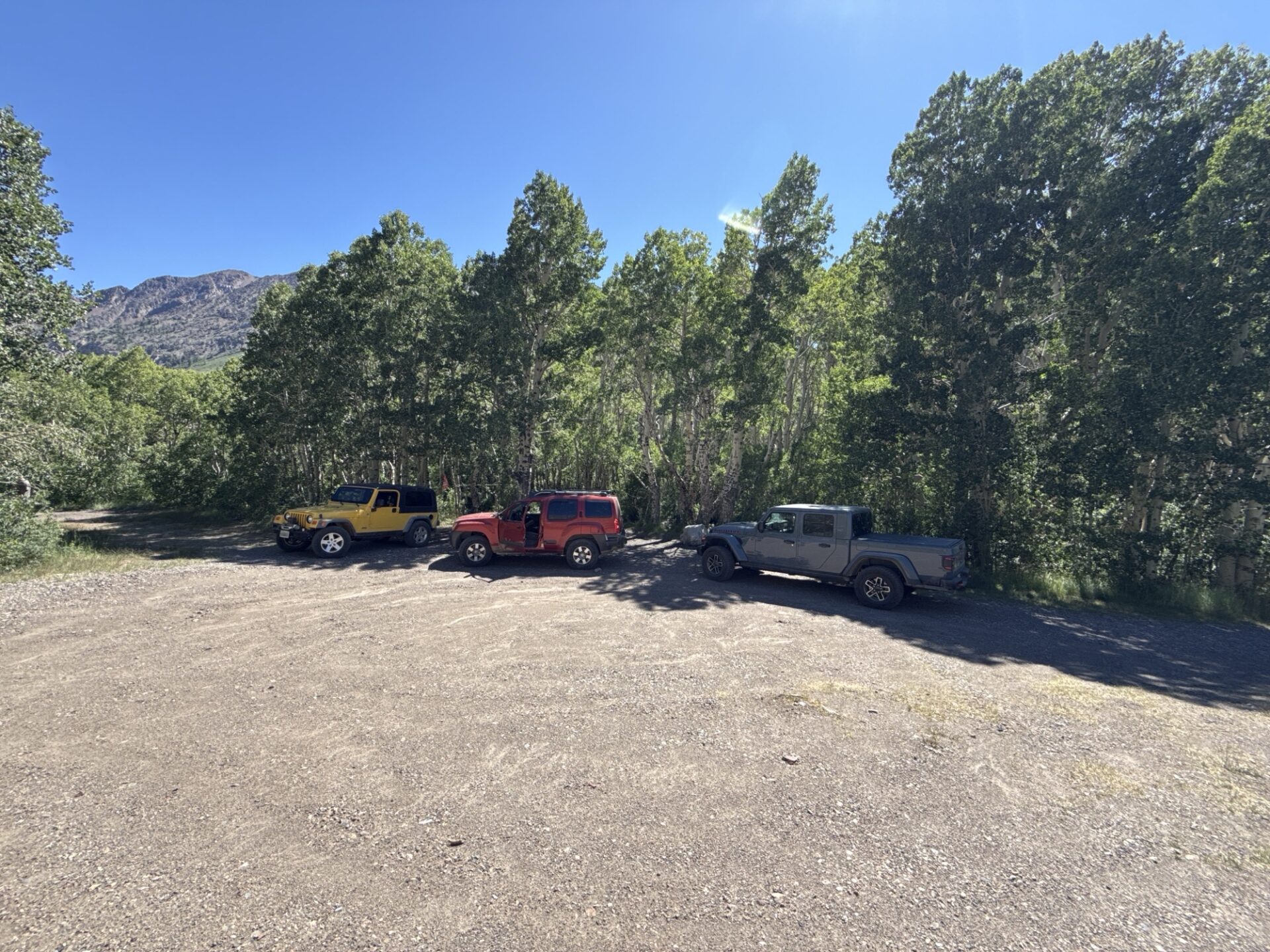
Started up the Laurel Lakes trail, which was mostly embedded rocks or shale. We found a nice campsite about halfway up, next to a little creek and in the shade of Aspen trees.
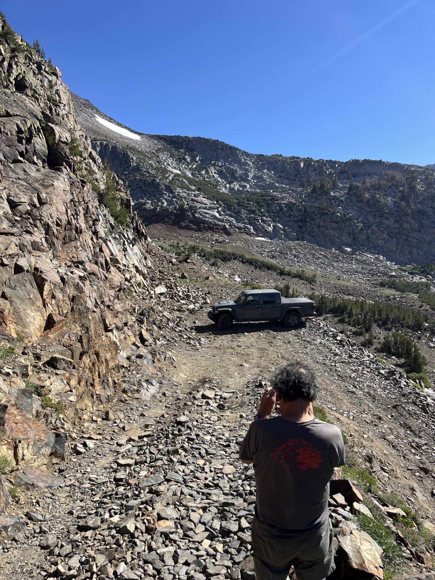
We continued to Laurel Lake, up some shelfy-type areas, with plenty of shale rocks all around. There is one very tight hairpin within sight of the lake, which requires a multi-point turn.
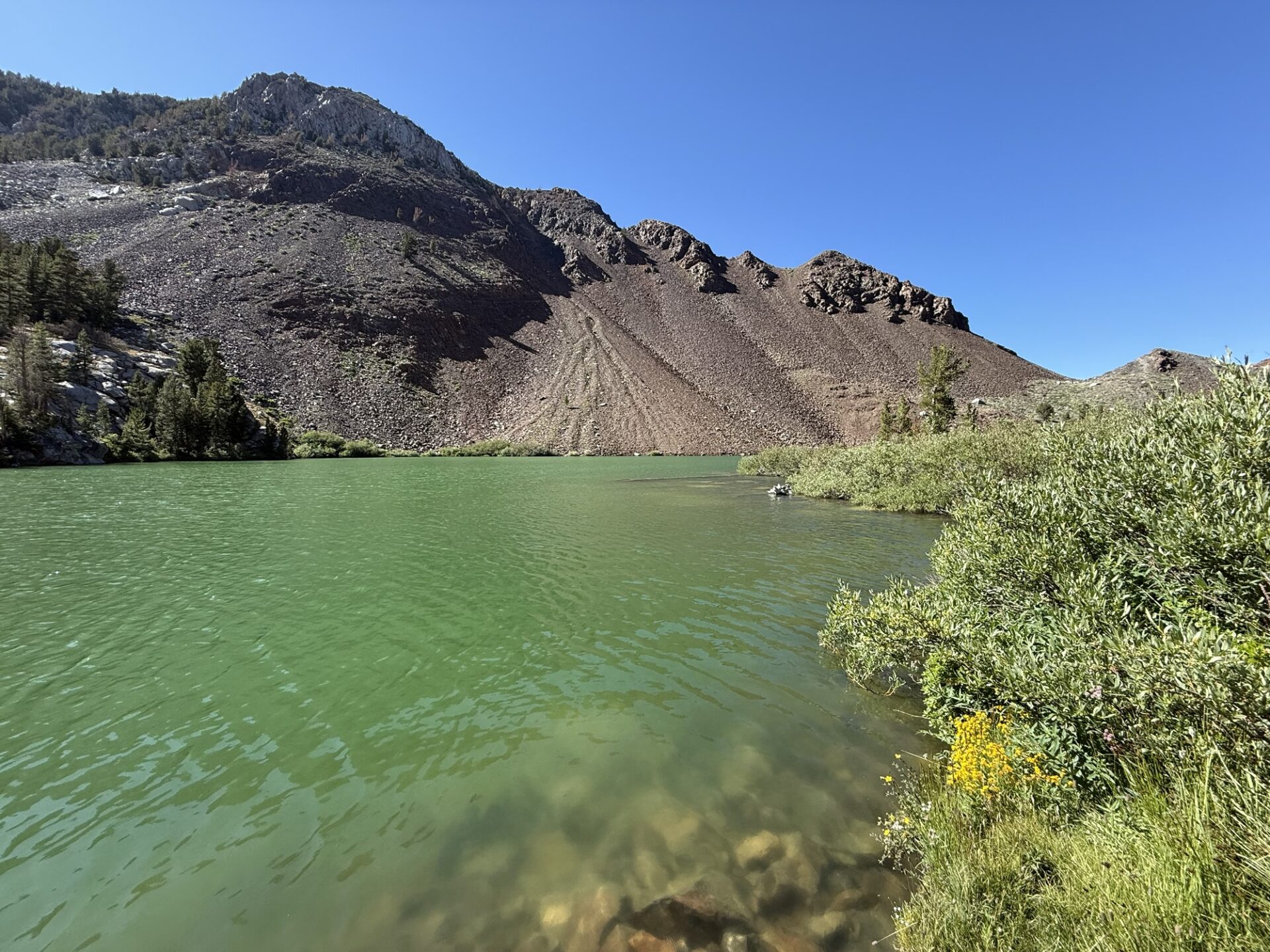
The lake itself is a yellowish green, and not very inviting. There aren’t a lot of flat areas for camping, and the ones we saw were covered in shaley rock.
It was also pretty exposed to the wind, so we decided to go back, and camp in the spot that we saw earlier. It was a GREAT camping spot.
Wood fires weren’t allowed due to wildfire concerns, so Darrell’s propane firepit was a welcome addition.
Day Two: After breakfast, we packed up and headed down the trail. We aired up, then went to Mammoth for gas, and to meet up with Eric and Aom, who spent the night in a hotel. We then took off down Highway 395 for the Sand Canyon Trail.
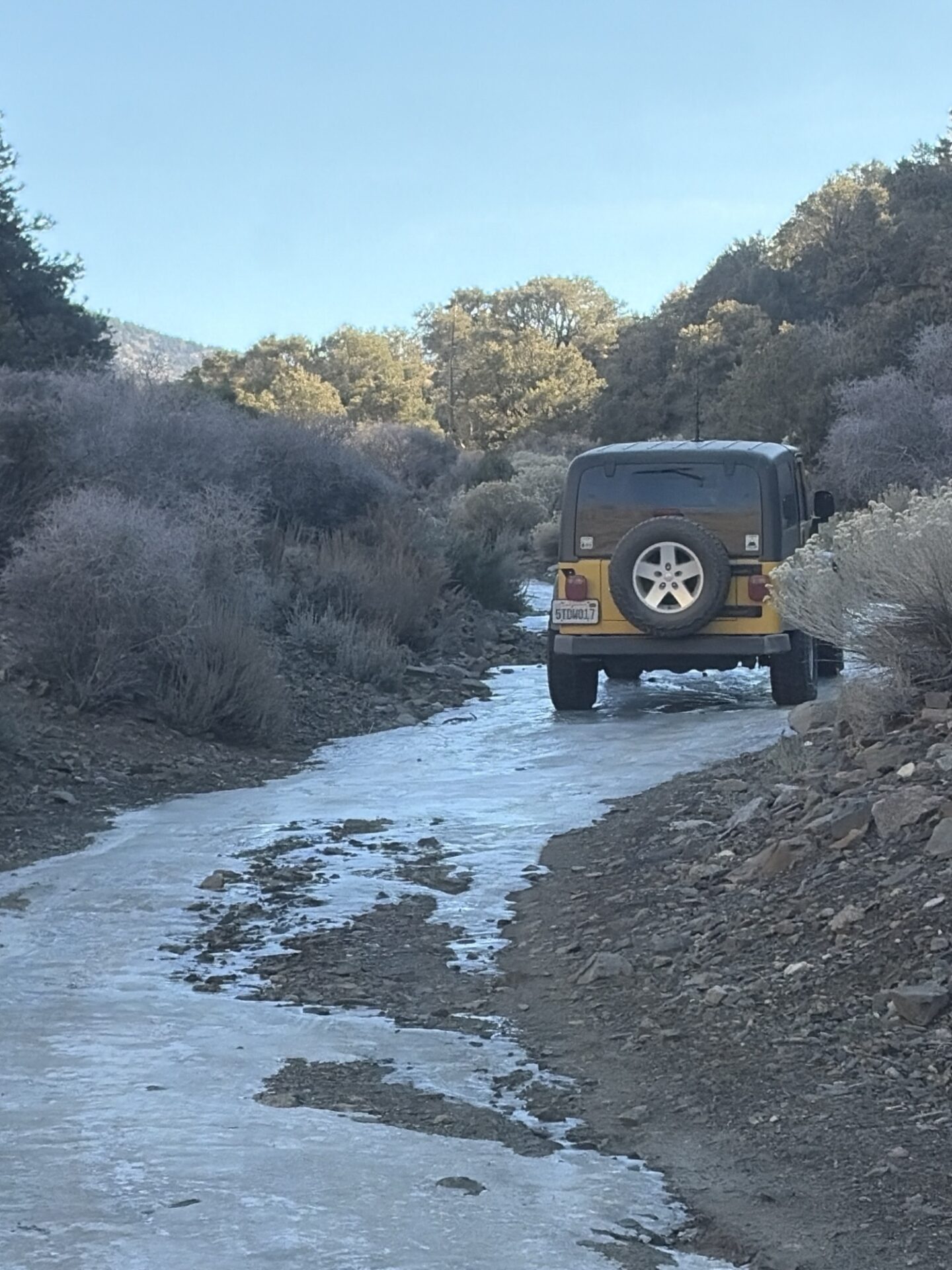
I wanted to get off the highway, and make this part of the trip more interesting, so I found some dirt roads on Gaia. Mostly they were fine and plenty scenic, though we ended up in a streambed, and after the second set of rocky descents, I was sweating it, wondering if it was going to get any worse.
Luckily, it didn’t. We met up with the Sand Canyon Trail, and went up to over 10k feet, mostly on rock embedded trail, though there were some smoother spots. This trail overlooks a valley that the Rock Creek paved road goes up, and at certain points, we could see it.
We had lunch at a little lake at the end of the trail, then returned to the trailhead. I had used Gaia to plot a dirt road to the Buttermilk Country trail, and after the trail petered out, we had to turn around and go a more established way.
Part of the adventure, I suppose. We made our way to the Buttermilk Country trail, and drove up to the higher elevations. Darrell and Kirk had been on this trail in the past, and Darrell guided us to a very nice campsite within 50 feet of a creek.
Day Three: We packed up and continued on the Buttermilk Country trail, which is pretty easy and very scenic on the southern end.
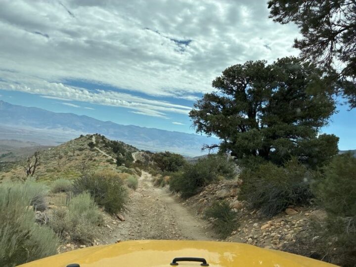
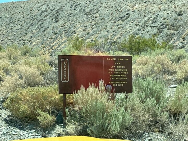
At the end, we’re on a ridgetop overlooking Highway 168 on the south side, and the Buttermilk area on the north side. After we finished that trail, we drove to Bishop, where we got gas, then headed north and east, where we picked up the Silver Canyon trail, going up into the White Mountains.
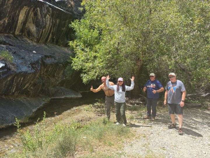
The first section was fairly steep, with many water crossings. Eric and Aom’s Toyota Forerunner got a transmission temperature warning, so we stopped and let it cooldown, then switched into 4Low.
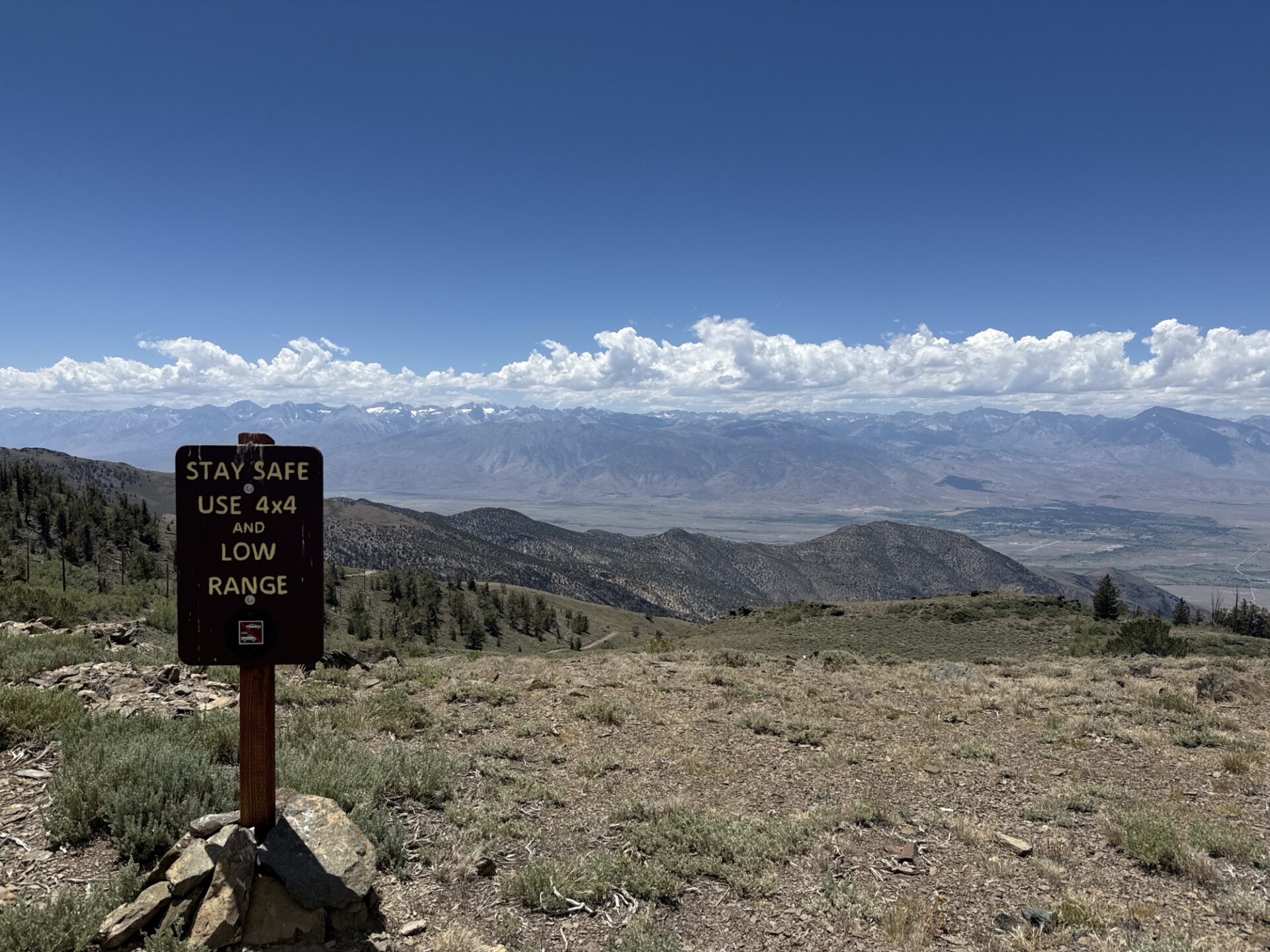
The second section of the trail was much steeper, but totally doable. We got to a fork in the road, with the left being steeper, and the right being not quite as steep. We opted for the right, and eventually ended up at the top of the White Mountains.
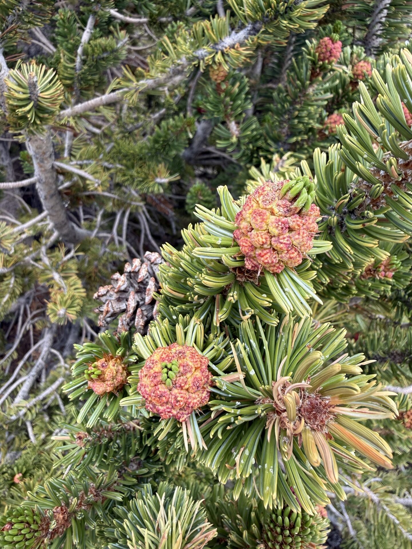
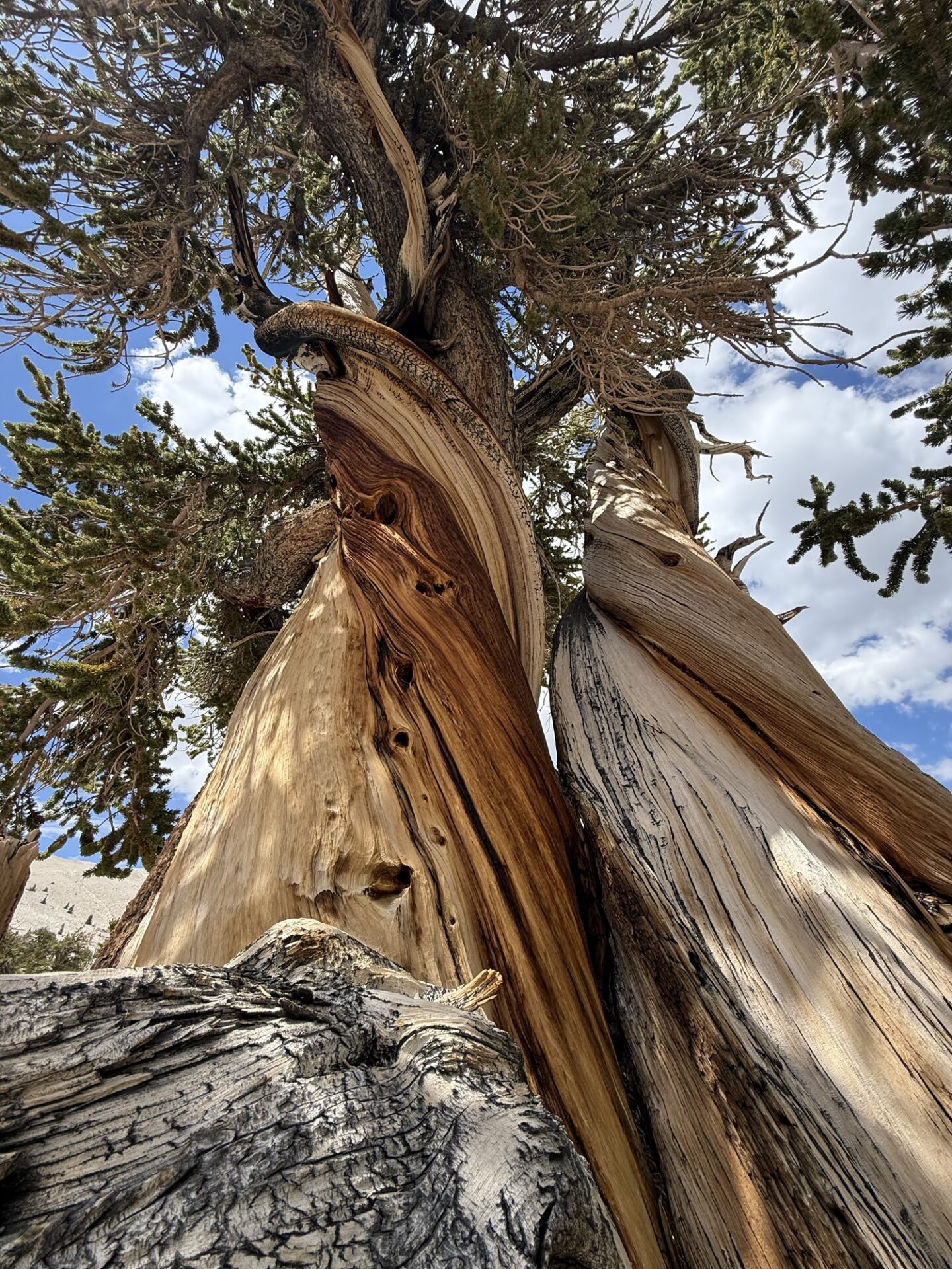
After lunch, we headed north, to the Patriarch Grove of Bristlecone Pines. It was a wide, easy road, with plenty of views to the east and west. The Patriarch Grove is at over 11,100 feet.
We took a ¼ mile interpretive hike to see these old trees up close. I don’t know about the others, but I was walking very slowly, and huffing and puffing up the mild and short uphill section.
Downhill was much easier. ;o) Then we headed back south to the main grove of Bristlecone Pines, and the visitor center. After that quick visit, we drove down the paved road, almost to Big Pine, where Sebastian aired up and headed back to SB, so he could watch the Argentina/Spain World Cup match on Sunday. The rest of us headed 11 miles up the Death Valley Road to the turn off for the Mazourka Canyon Trail.
There were some steep sections, some rocky sections, and a lot of beautiful views.
We camped out above Papoose Flats, and saw a magnificent sunset. Just breathtaking!
Day Four: After breakfast, we packed up and headed down the trail to Mazourka Peak, which overlooks the Owens Valley.
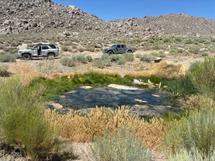
Then we ventured into Santa Rita flats, where we found the Santa Rita spring,
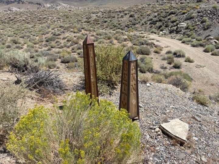
and what appeared to be a couple of grave markers shaped like Egyptian obelisks.
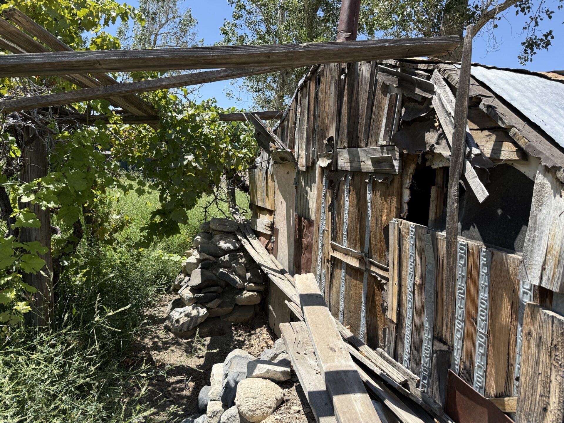
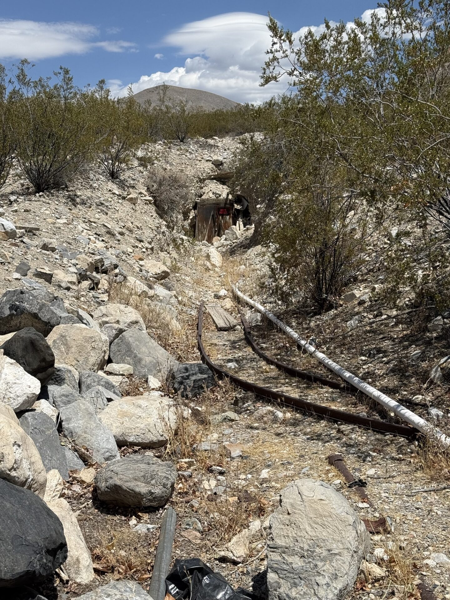
After stopping at a little mine/house/spring under some Cottonwood trees,
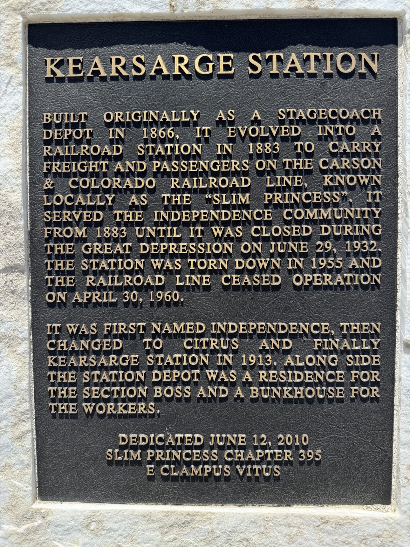
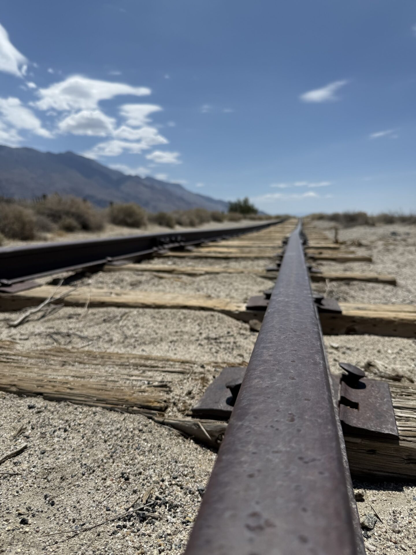
we made our way to the marker for the Kearsarge train station, just outside Independence, where we aired up (it was hot and windy.
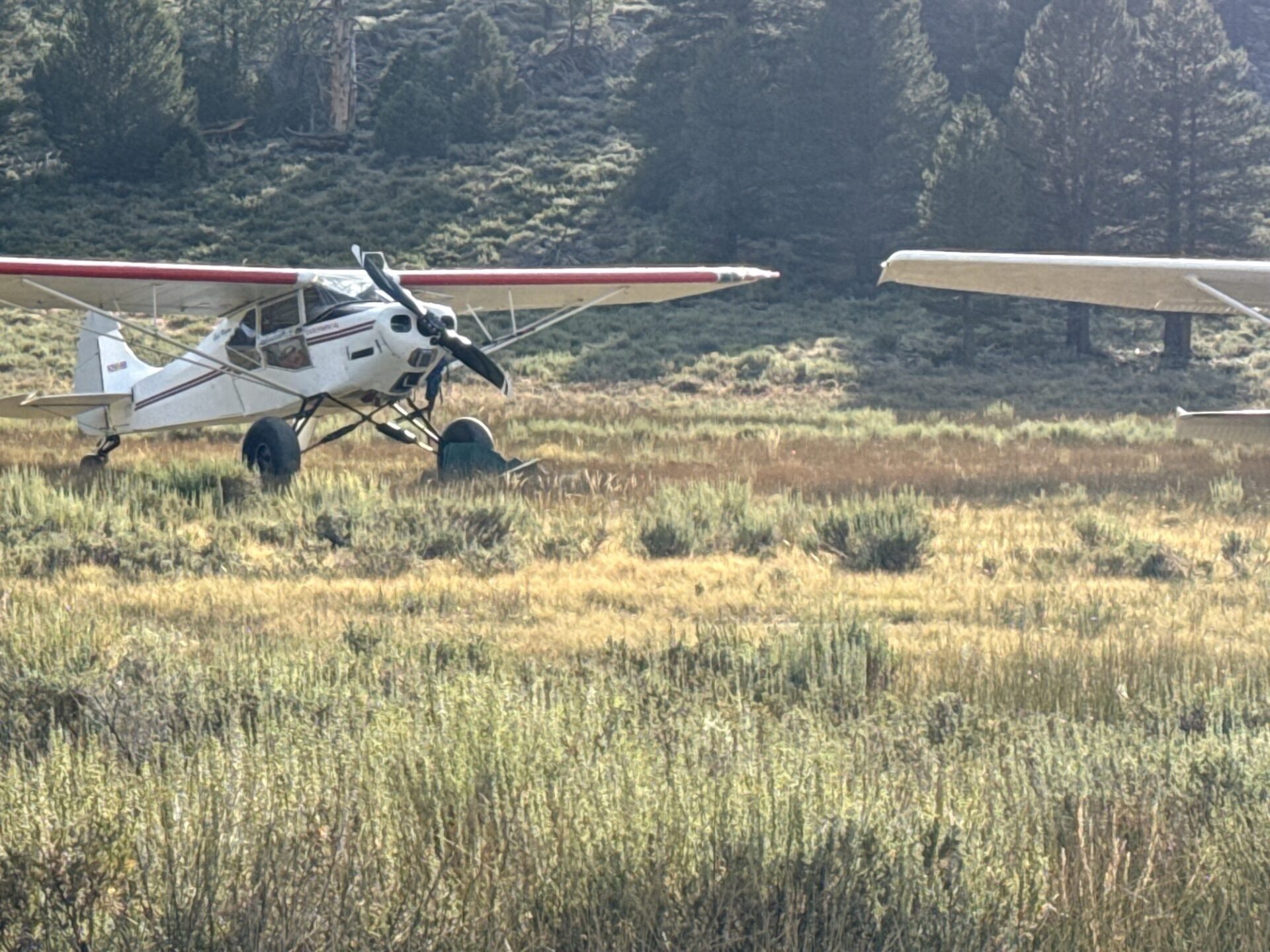
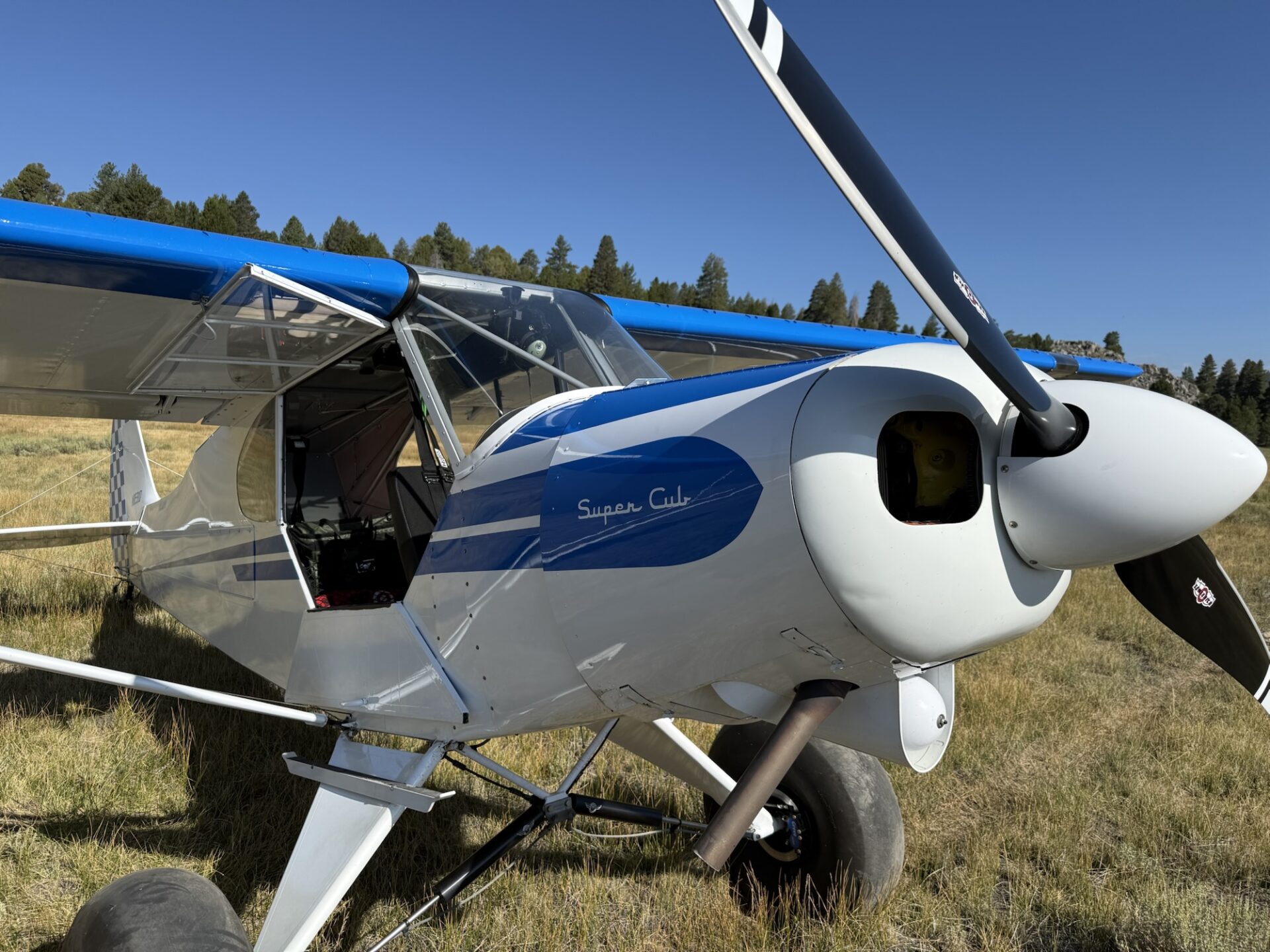
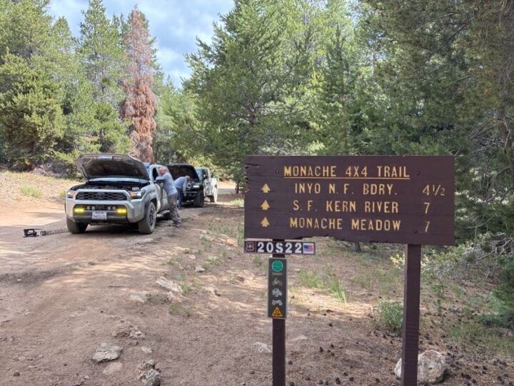
In hindsight, we should have drive into Independence, and found a shady spot to air up). We had lunch at the Mt. Whitney Cafe in Lone Pine, then headed south on Highway 395. We turned west on 9 Mile road, and went up a very steep, paved, two-lane road to Kennedy Meadows. We stopped in the store, and had ice cream. Yum! Then we headed towards Monache Meadows via the Jackass Meadows road. Eventually, we got to Monache Meadows, where we saw some bush planes that had come in for the day/evening.
The trail is very beat up by tons of vehicles coming and going (lots of embedded rocks on steepish slopes, lots of big whoops, and lots of low hanging branches hitting my tall antenna), and by about halfway there, I was ready to call it and just find a spot to camp, but Darrell suggested that we continue, and said that it was worth doing. The nice campsites at the end of the trail were available (only two other groups were there). We had a nice spot right next to the creek.
Day Five: After breakfast, I aired down even more, put on my short antenna, and disconnected my sway bar (forgot to do that the day before). It’s AMAZING what lower tire pressure, a disconnected sway bar, an antenna that’s not getting almost knocked off the roof constantly, and some rest will do. On the way back, I thought the trail was super fun and pretty easy. I was sad to see it end. ;o)
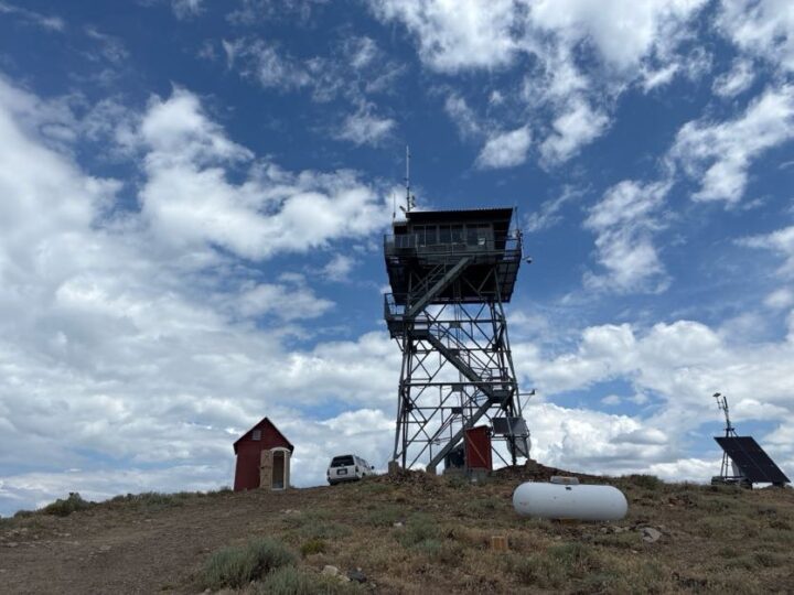
We aired up, and made our way back to the Sherman Pass road, where we headed towards Kernville. I took a detour to check out the Bald Mountain Fire Lookout (one of two manned lookouts anymore).
Darrell, Eric and Aom opted to continue towards SB. If you’re in the area, I recommend going to the Bald Mountain Lookout, as the views are amazing, even with some cloud cover. You have to park down the hill a bit from the tower, and hike about 10 minutes uphill, then go up several flights of stairs to get to the viewing platform/housing unit for Glen, the resident fire spotter, and Chia, his very friendly pup. The drive home was uneventful, but full of windy roads with almost no traffic. So fun!
Overall, the trip went just as I had hoped (doing some fun trails while avoiding the heat). The only time we felt really hot was when we were airing up after the Mazourka Canyon trail. Camping at high altitude was a joy. It was a lot of driving, though. Unfortunately, none of the spots on this trip were worthy of a two-night stay, as I don’t think there wouldn’t have been enough things to do for a full day. An option would have been to go up to some of the areas in Coyote Flats, but we opted not to do this, as Brent will be leading a trip up there in August. The great thing is that you could mix and match any of these trails for as long or short of a trip as you’d like, and you wouldn’t really have to worry about the heat, except for the drive to and from.
Members: be sure to connect to the Member Website – Web Links section where the full 200+ photo and video album exists. Also there is a GAIA link to the campsites we chose and many of the trail maps for future reference.
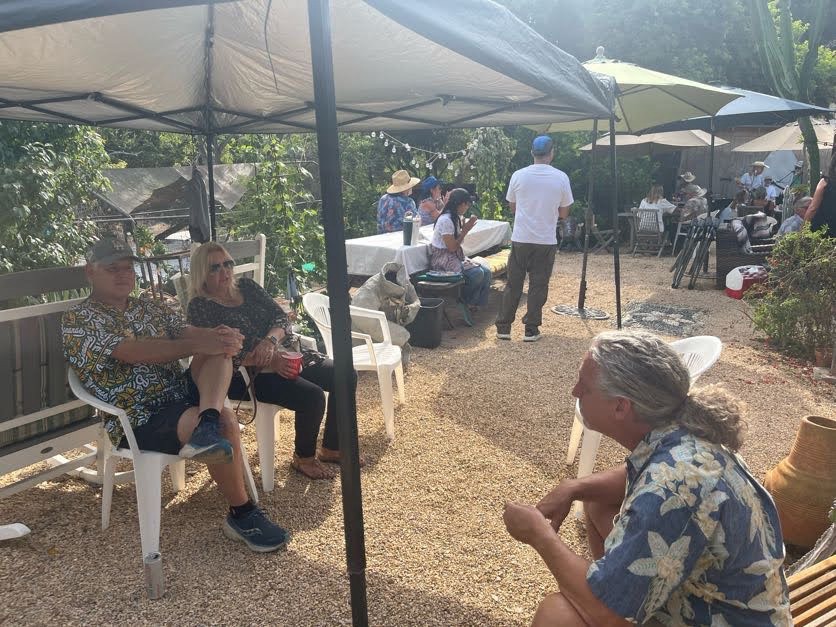
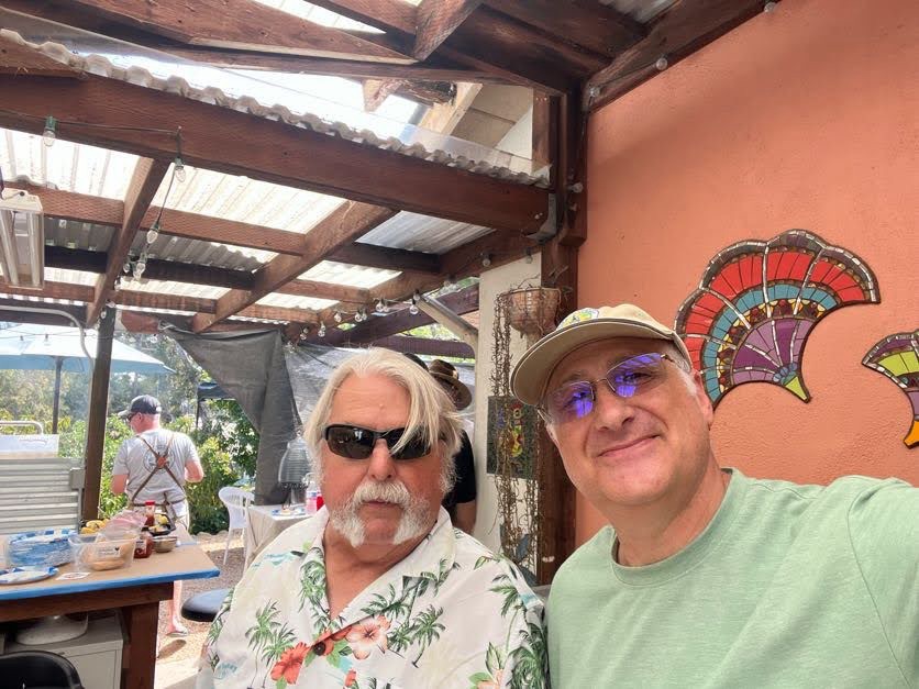
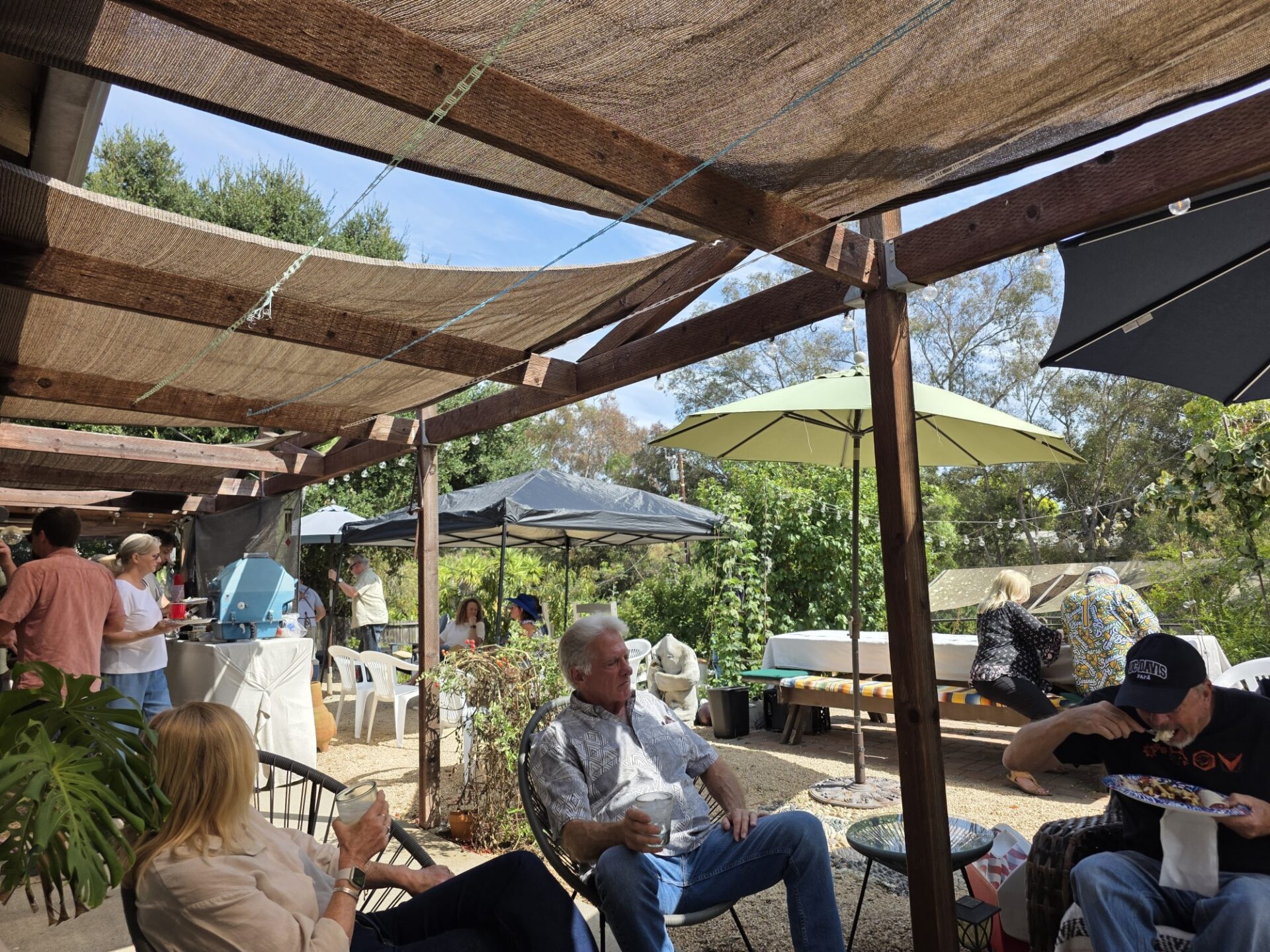
On Saturday, July 11th, the Santa Barbara 4wd club held our annual summer barbecue.
Hosts again for the 3rd consecutive year were Jerry and Tami Macala.
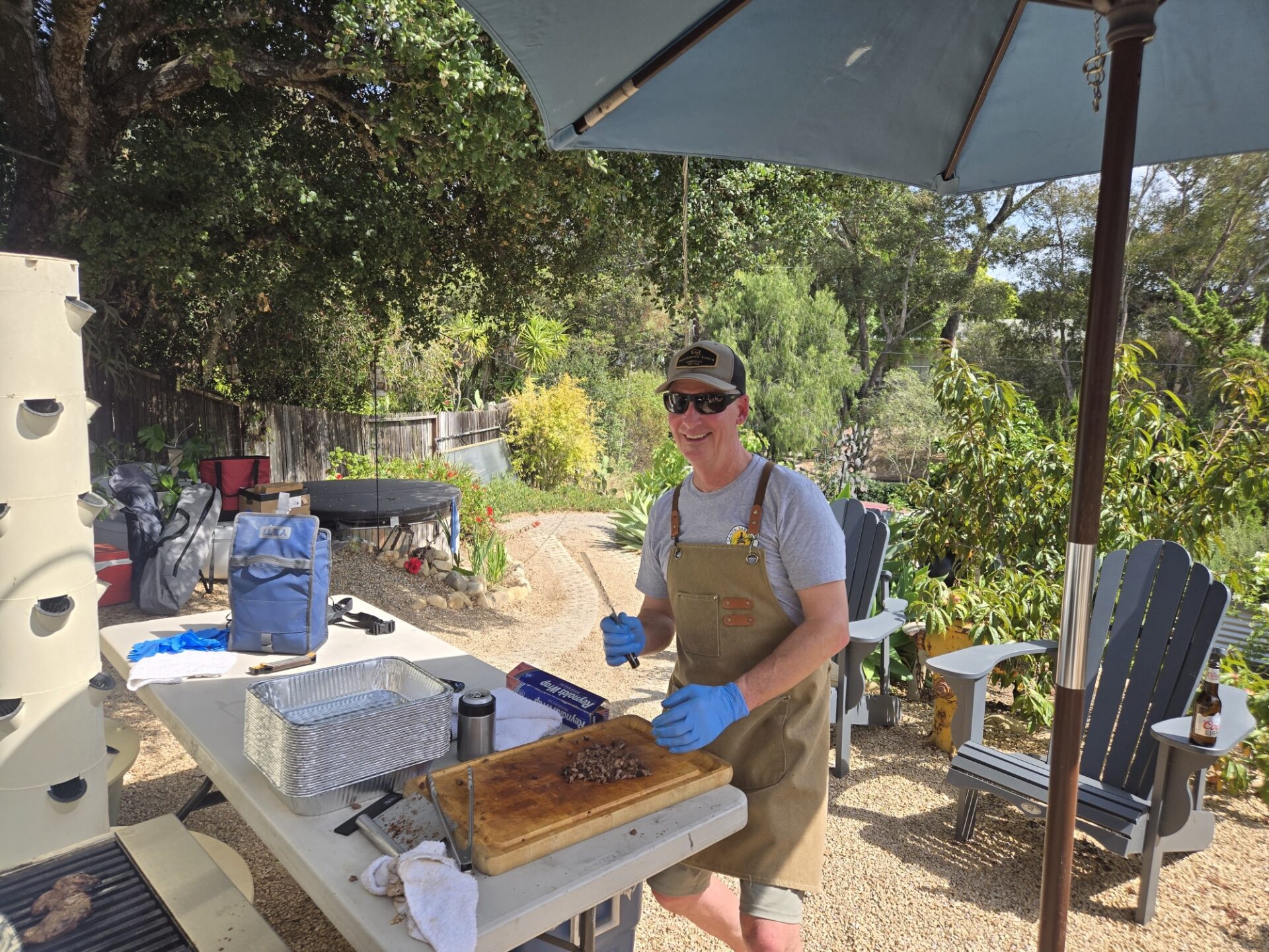
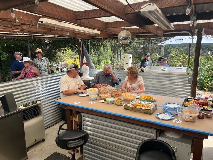
With Brent again volunteering to be the pit Master he marinated up some special pollo Chicken and Beef for Carna Asada. Tacos which were fantastic.
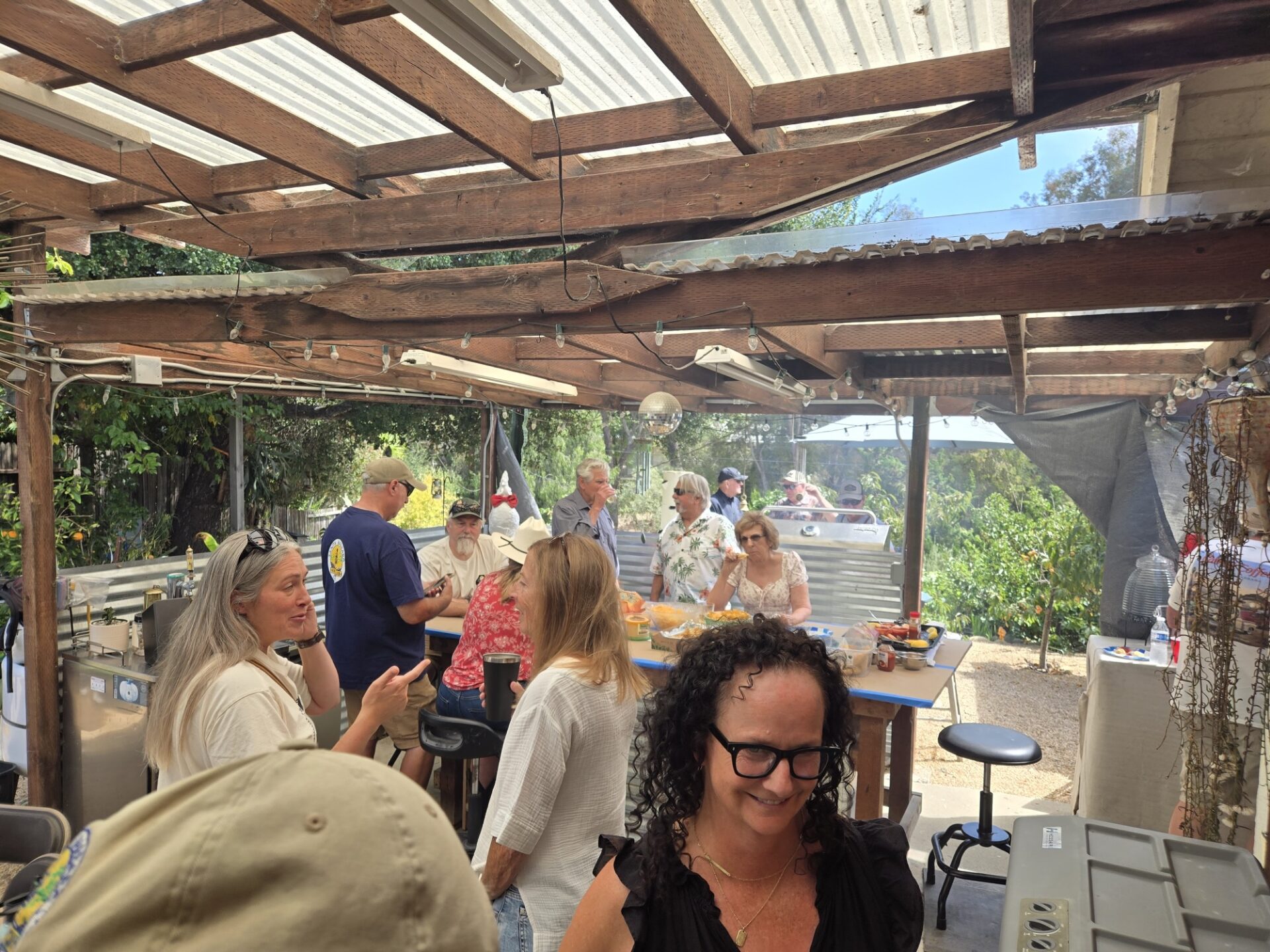
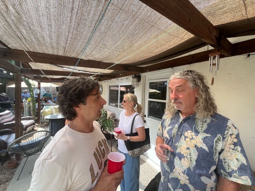
With over 40 of our club members attending, there were as always, tons of everybody’s special pot-luck home made side dishes and deserts.
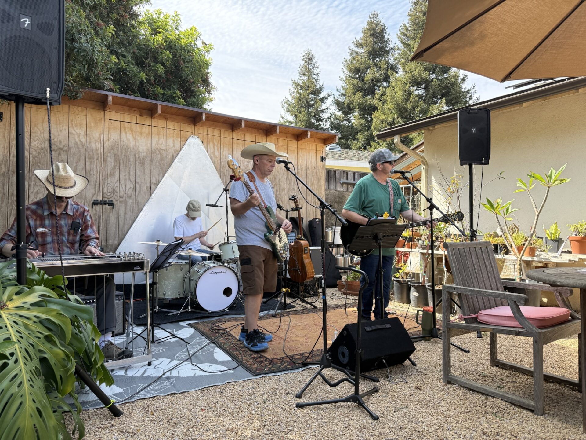
Matt and his band “Gas Station Sushi” entertained us for hours. Sounding awesome as usual. We were so fortunate for them to again, volunteer to entertain us with their unique country western sound & as usual they did not disappoint.
Thank you again to Jerry and Tami for opening up their home for this very anticipated & popular annual summer event for our club.
After many months of tedious planning and coordinating with multiple groups and park officials by our club member, Jerry, Sunday June 7th Santa Barbara 4 wheel drive club made a trek out to the Miller Jeep trail.
With 13 rigs and 21 members and 2 doggies, we met at the trailhead at 9:30 aired, down and began our day.
Fortunately, and oddly enough there wasn’t much traffic on the trail that day.
Known as the toughest 4×4 trail in our area the Miller did not disappoint. Led by one of our more experienced members, Swifty who took leed and another one of our veterans Dick brought up the tail position our first half the day was fun with many beautiful mountain and remote valley views much of the Native plants & foliage was still in full Bloom and looking awesome..
With midday temperatures approaching the low 80’s.We had lunch at sunset campground where there was a picnic table and much appreciated shade.
There was actually still water flowing in several of the creek crossings that we traversed through as well.
In the second half a day, it turned out to be very challenging with the legendary tougher sections of that trail being near the top of Alamo Mountain. We overcame a couple of trail challenges with a ripped sidewall and damaged parts.
But with coopetative diligent spotting in the most extreme areas we ultimately got everybody through & off the trail and eventually, back down to our air up spot at one of the Hungary valley campgrounds.
It turned out to be a very long day, but for those members who had never done that trail previously they can now they can check that off their bucket list.
To quote our Trail Boss: “The Miller did not disappoint- Jerry”
Darrell and Jim came from the Virgin River Casino in Mesquite, NV that morning. Danny and Brad had left a few days earlier and explored areas outside of Moab. The 4 of us met up in time to set up camp, eat dinner and enjoy a fire as we discussed the game plan for the days ahead.
Jim’s Jeep was not ready for the trip, so he rode shotgun in Darrell’s rig, thus we only had 3 vehicles on the trails. We kept things fun with a few challenges but didn’t want to push our luck with a smaller group. It paid off as the only damage was Brad adding another dent to his rear bumper cover, but otherwise, we stayed safe with little issues.
Friday – Hell’s Revenge and Fins & Things
We decided to skip the optional obstacles and mostly stick the main trail and try to avoid any issues which we did. However, Danny did show off a little on one optional obstacle. It was near Mickey’s Hot Tub, sort of a mini-Mickey’s. We saw someone do the official hot tub, but it as a very built UTV. With all the times Jim has been to that obstacle, it is the first time he has seen someone do it. Still waiting to see a non-UTV complete it in person.
Jim felt somewhat vindicated that a very well-built Jeep fell into the same hole in the Escalator that he did last year. However, this Jeep had very wide axles and was eventually able to get himself righted and up the hill without aid, it just took a while.
Like last year the wind was obnoxious, we had a little less sand blowing around than at the site last year, but it still made preparing dinner difficult. Sand was still blowing everywhere, so on both Friday and Saturday nights we went into town to have dinner. It was a nice break from the weather. Things settled enough that we could still have a campfire every night though.
Saturday – 7 Mile Rim
This was a very scenic trail with spectacular views of Arches National Park and the La Sal Mountains. One of our favorite things to explore was Uranium Arch. With the right camera angle, it made for some interesting views. Here is Darrell looking like he is crossing a sky bridge of some sort. The photo after that gives you fuller perspective of the arch though.
We avoided the optional obstacles on this trail too, but if we do it again next year and some folks want more of a challenge there is an interesting obstacle called Wipeout Hill.
The next part was probably the scariest moment of the trip. A rainstorm broke out just as we were approaching an obstacle called “I-Lean”
Luckily everything cleared up. As often happens it is difficult to capture the intensity of an obstacle with an iPhone. Trust me, this one had not only our group a little nervous, but folks in other groups that were near us as well. It was off camber and was a terrifying slide down if you lost traction. However, it was the classic Moab sticky rocks and even with moisture in the air everyone stuck to the ground like it was sandpaper.
Sunday – Cameo Cliffs and Wilson Arch
This is part of what is called the Hook and Ladder Area. One of the highlights is an overlook of Wilson Arch, per the name of the trail, but we were running short on time, and you could access Wilson Arch easily from the 191 (main road). Instead, we took an optional route to Lopez Arch. It was a bit of disappointment. See 2nd picture and squint your eyes!
As with most of Moab, overall, the sites were fantastic and always a challenge or two along the way, but nothing serious.
We had planned to spend another night camping, but the wind was so inhospitable that we broke camp after the day’s run and headed towards home. We all spent the night at various hotels to get a much-needed hot shower and shelter from the wind!
Very successful trip, with excellent sites, some challenges and no significant issues or damage. For those with Moab on your bucket list, but worried it is too crazy for you, we can put together a relatively safe fun trip if you join us in the future.
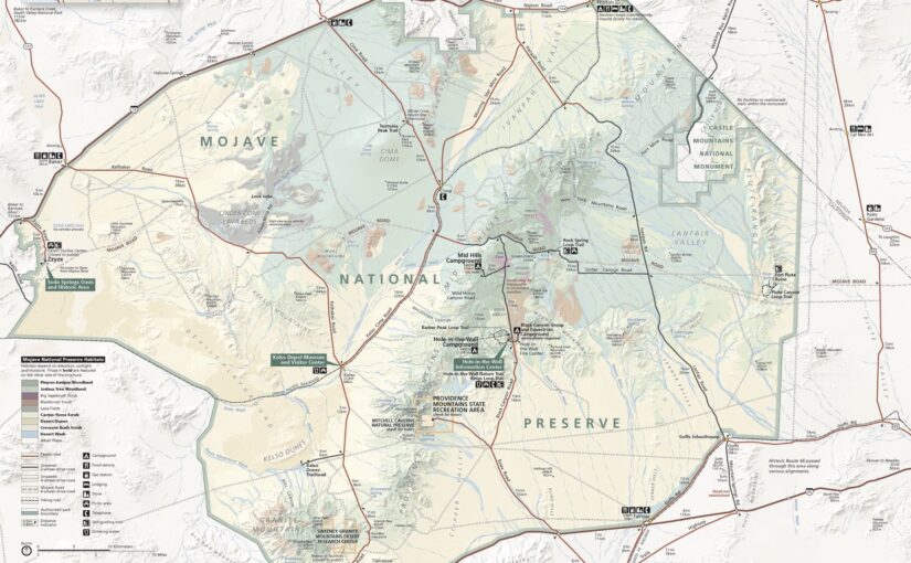
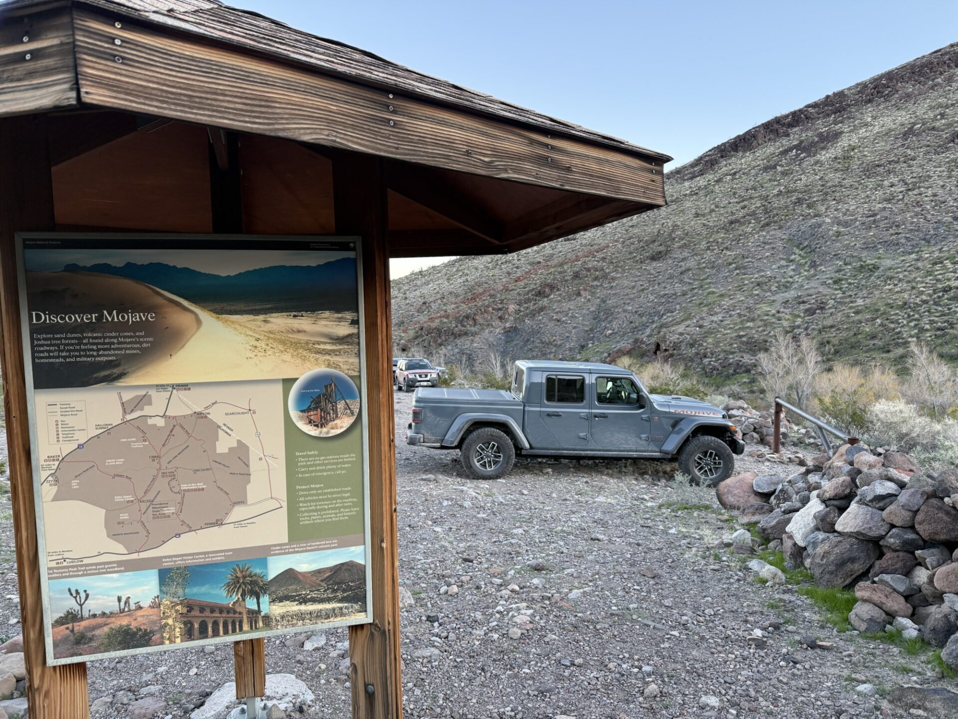
Members and Guests adventured into the Mojave starting at Afton Canyon in late January during ideal temperatures and wind conditions (luck was shining on us)
The water pools by the railroad bridges was only about 6-8” deep and extended into long sections of water in the wash road sections. This provided for some early afternoon excitement for those with a heavy right foot .
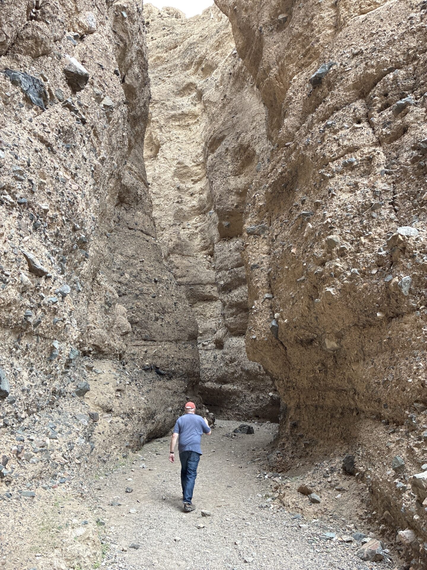
Next we hiked back into Spoooky Canyon for some amazing examples of what pressure, time, and mother nature can shape.
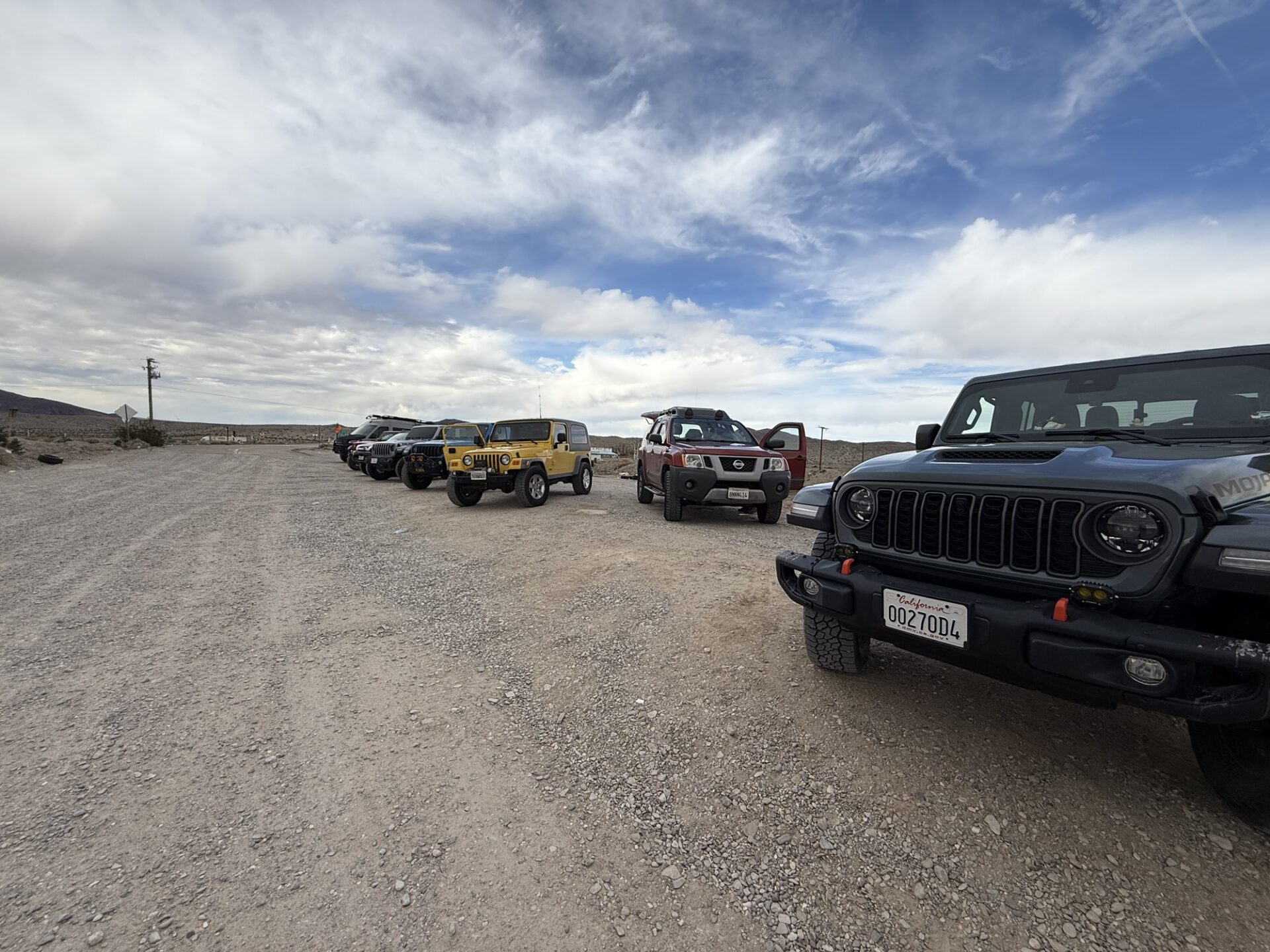
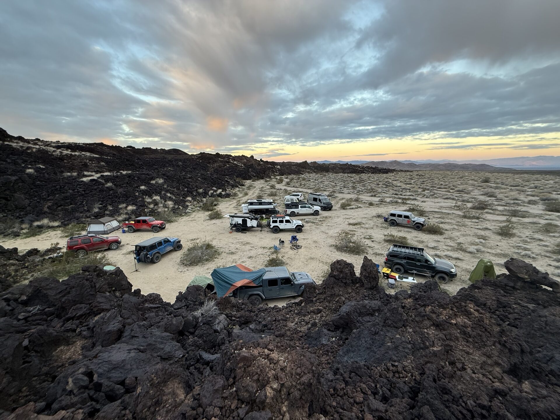
We knew the Soda Lake crossing was going to be closed (November storms reformed portions of the lake) so we looped out to Baker for a final gas stop. We had spotted some camping prospects along the north side of a large lava flow, with previous fire rings and natural protections.
In the morning our last two attendees arrived and we attempted to follow the Indian Springs trail up and around the cinder cone mountain. Unfortunately it has some washout sections which would have compromised a couple of the rigs, so we elected to proceed on with only part of the group while the rest tracked around the lava flow and we rejoined on the other side. We felt comfortable with this strategy because we had mapped out both options in OnX and GAIA and shared the routes amongst the participants. We couldn’t maintain constant radio communications, but were successful in regrouping on the other side.
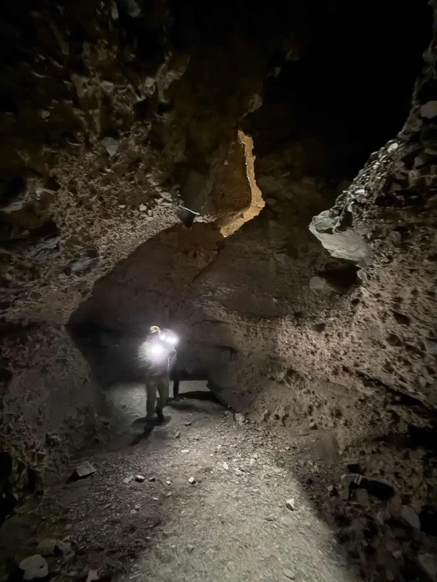
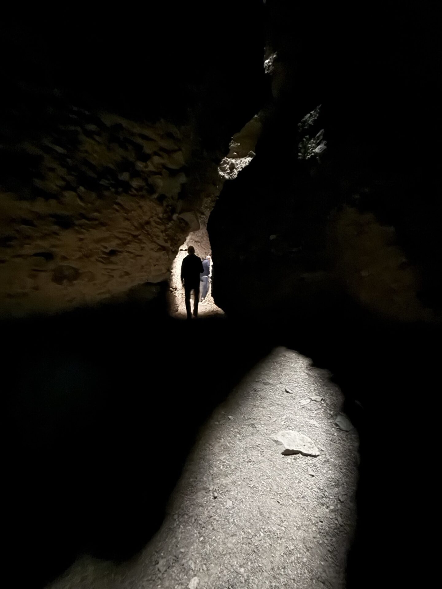
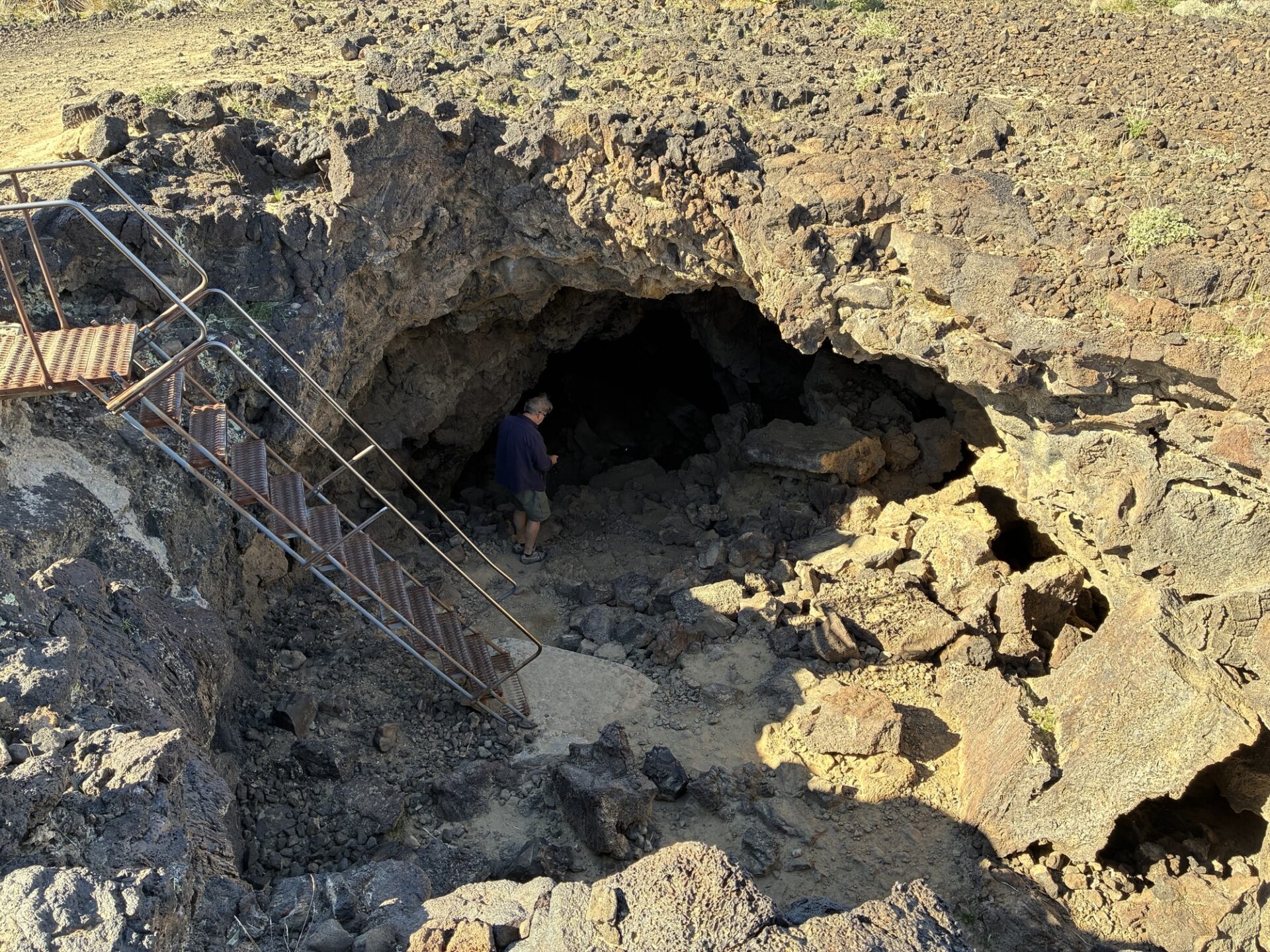
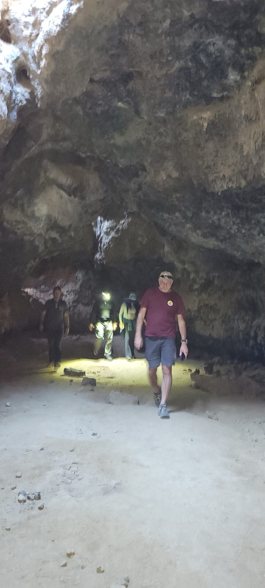
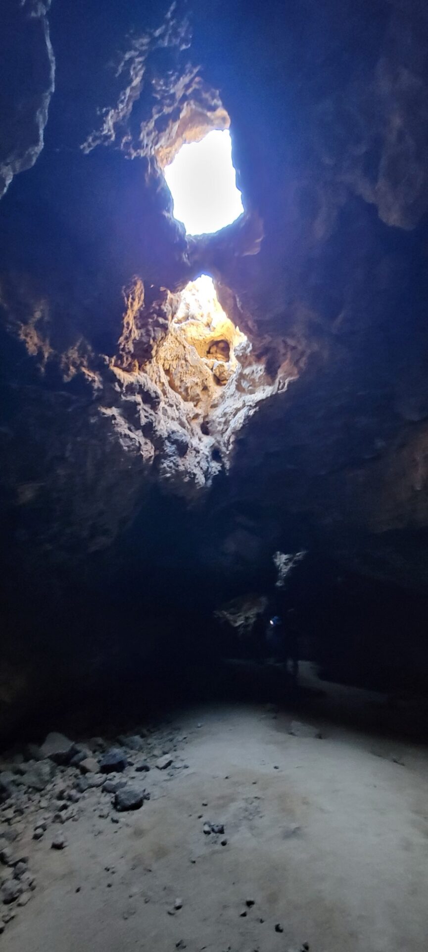
Next stop was the lava tubes, another amazing example of the volcanic activity long ago.
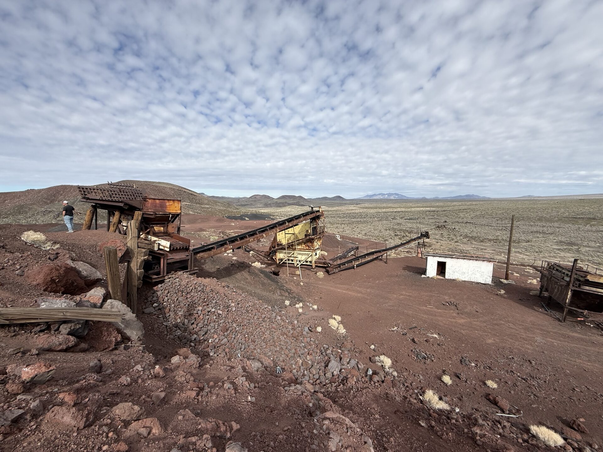
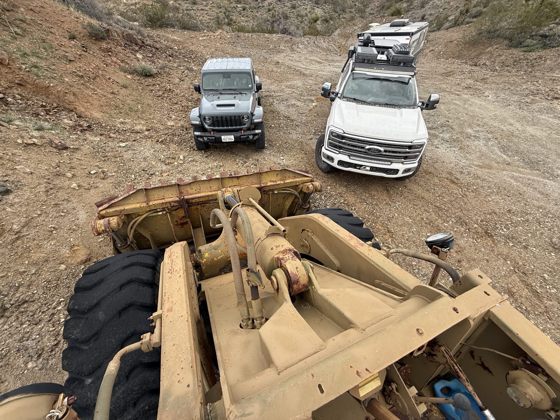
Next we headed to the Aiken Mine for a lunch stop and to explore the operation remnants. this cinder cone mountain appeared so pure, the equipment indicated they were just using direct excavation into the sorters to get piles of the desired stone sizes. No crushing equipment was needed.
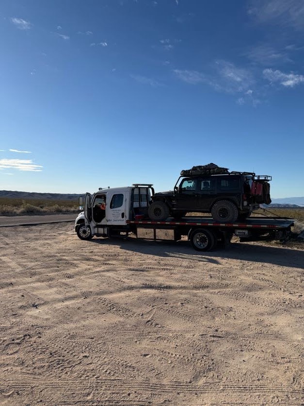
As we wrapped up and started to head on, one rig failed to start. After deeper inspection it was determined the starter was not engaging into the flywheel and no “tapping” or mechanical prying solved its reluctance. As starters don’t commonly give any pre-indication of a pending malfunction, this was an unavoidable situation. Using starlink technology (that a couple members have integrated into their setups), we were able to confirm that this rig could not be bump-started through any means. This knowledge avoided the risk of damaging further components by trial attempts.
Fortunately (as we try and travel in multiple rigs) we were able to easily tow the rig off the mountain and back to pavement where AAA was willing to haul it to a repair shop. Again, luck was shining on us!
After a few trail washout surprises and rerouting, we were able to stay on route plan schedule to the next campsite.
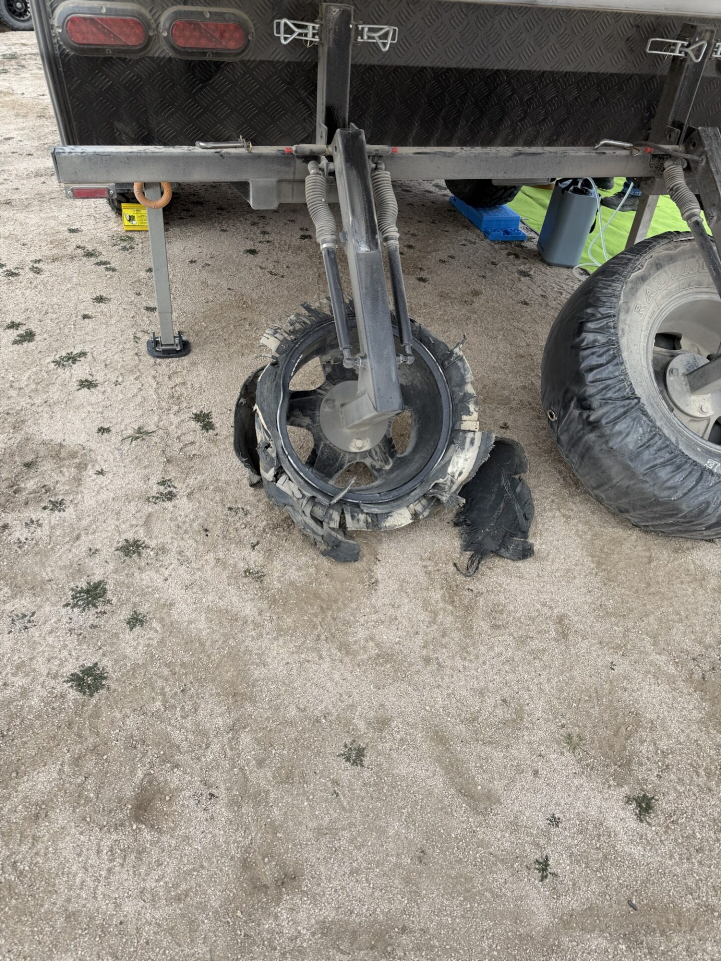
Just short of the campsite a tire failed on the larger trailer, and with some quick teamwork the spare was installed.
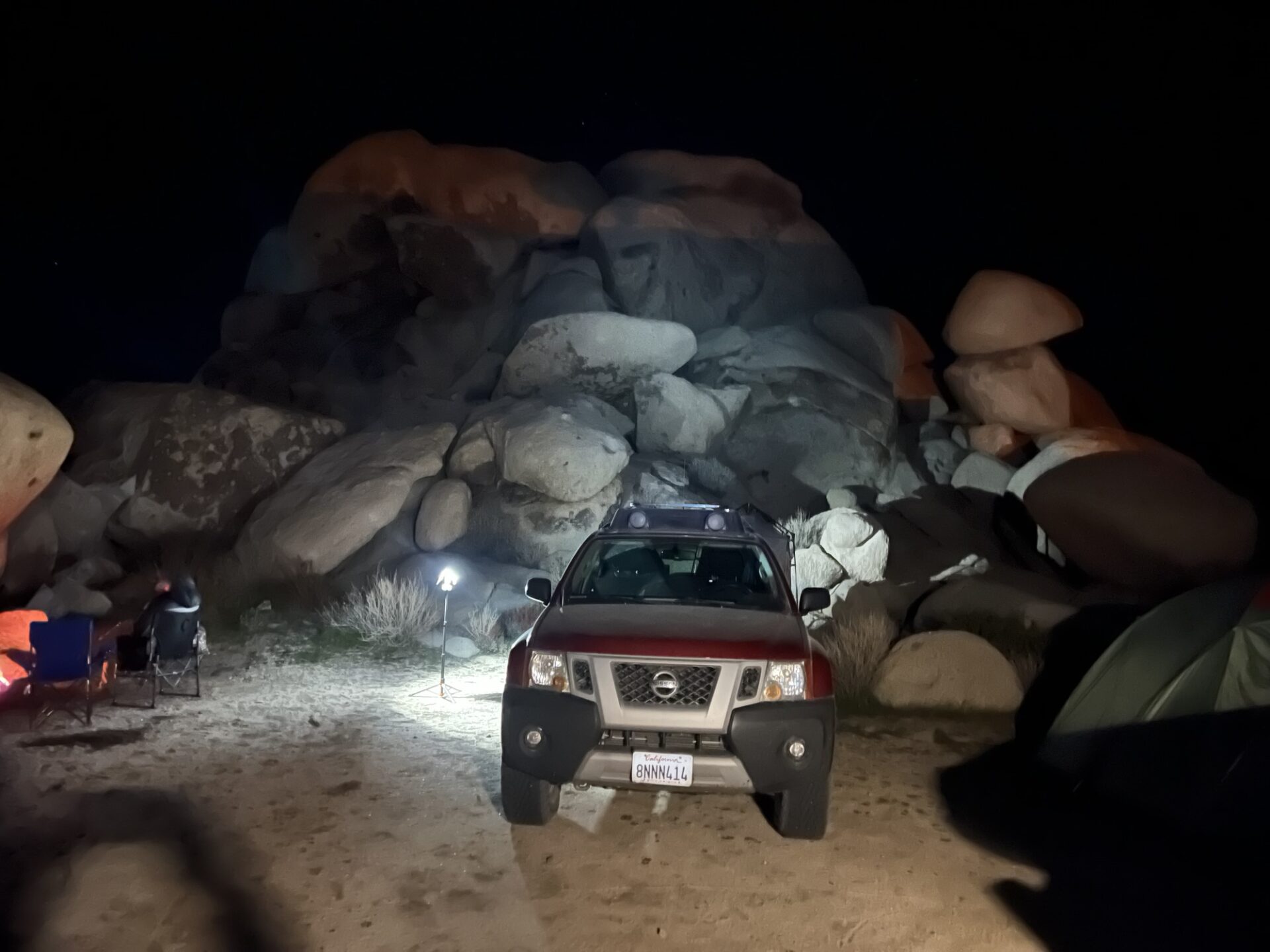
Finally at campsite
This picture of the remnants of the blown spare was easier to capture the following morning
Fortunately the big trailer packs two spares, so continuing on was of little increase in risk
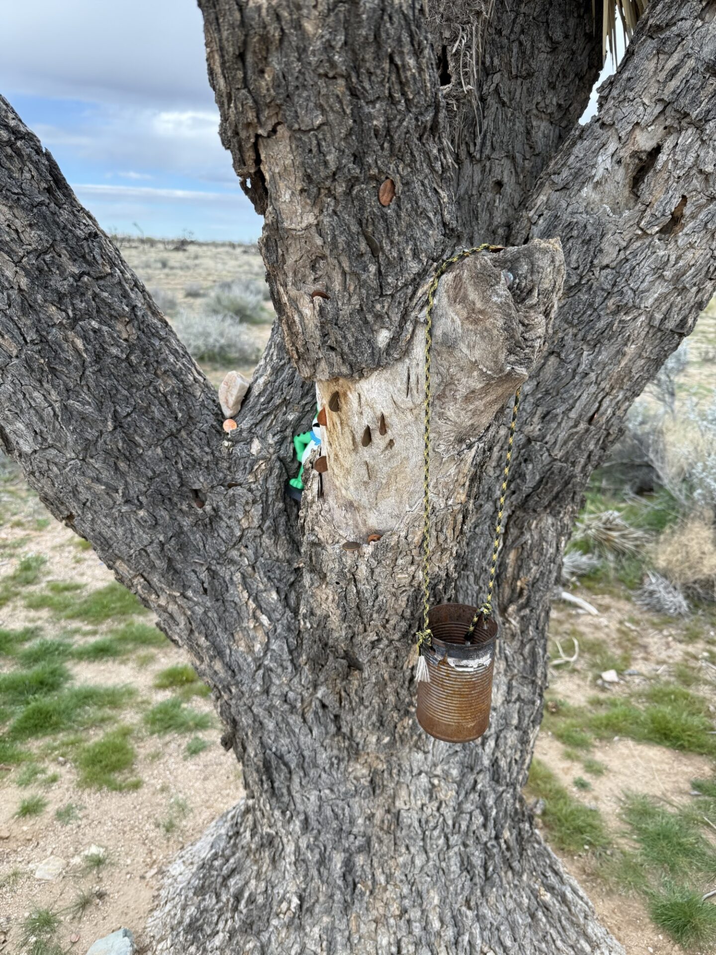
We swung back up to the Mojave Road so we could reinforce our good fortune with donations at the Penny Can Tree.
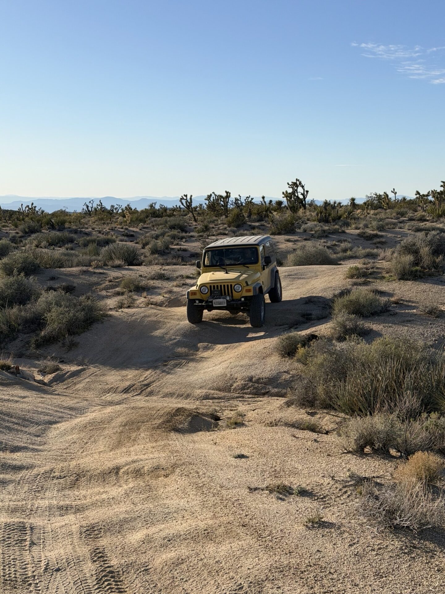
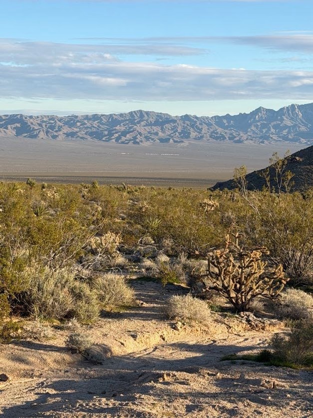
This section of the Mojave has some flourishing Joshua Tree sections.
Objective on Saturday was to reach the California Mine by lunchtime. It appeared to be a precious metals operation which had been abandoned for over 20 years (at least).
After lunch, we looped back north again, weaving through some more mining areas, rejoining the Mojave Road near the Eastern Gate on the edge of the preserve. As we dropped down in elevation, we actually encountered some of the roughest section of the road/trail. It was evident that everyone had gained a greater comfort level in what they could traverse with their rig, so we all pushed on.
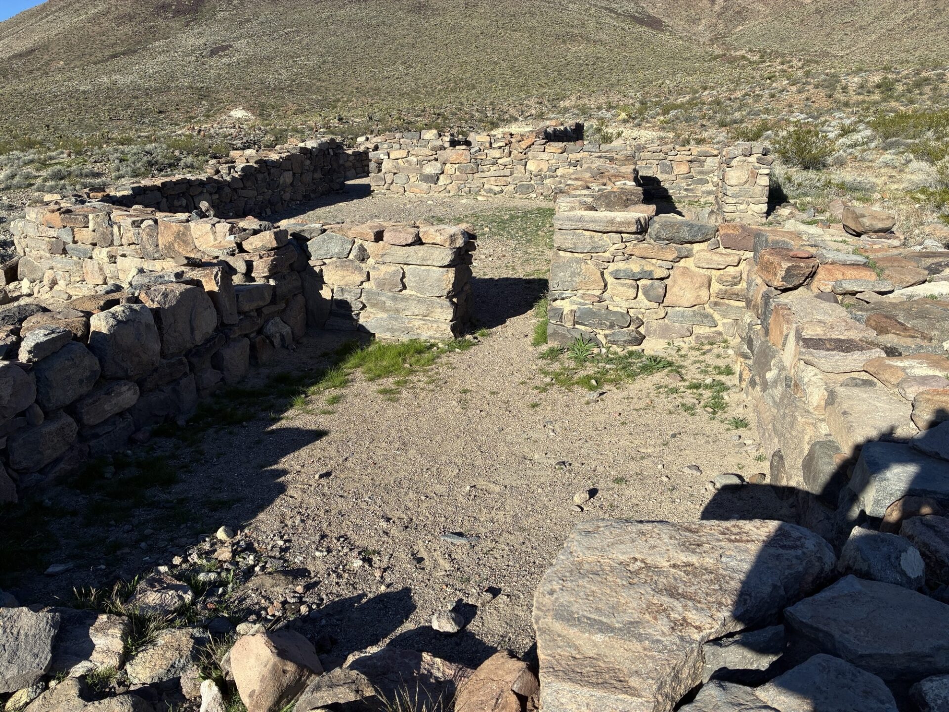
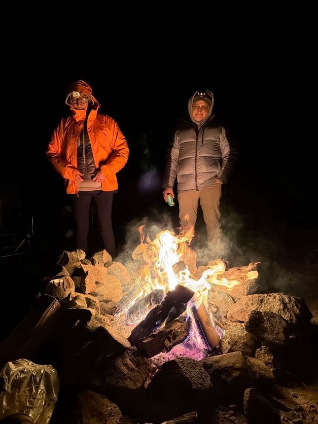
Our last waypoint was a visit to the ruins of an old fort. We enjoyed our final campsite/campfire before returning to the blacktop Sunday morning
We discovered so many additional areas to explore in the Mojave.
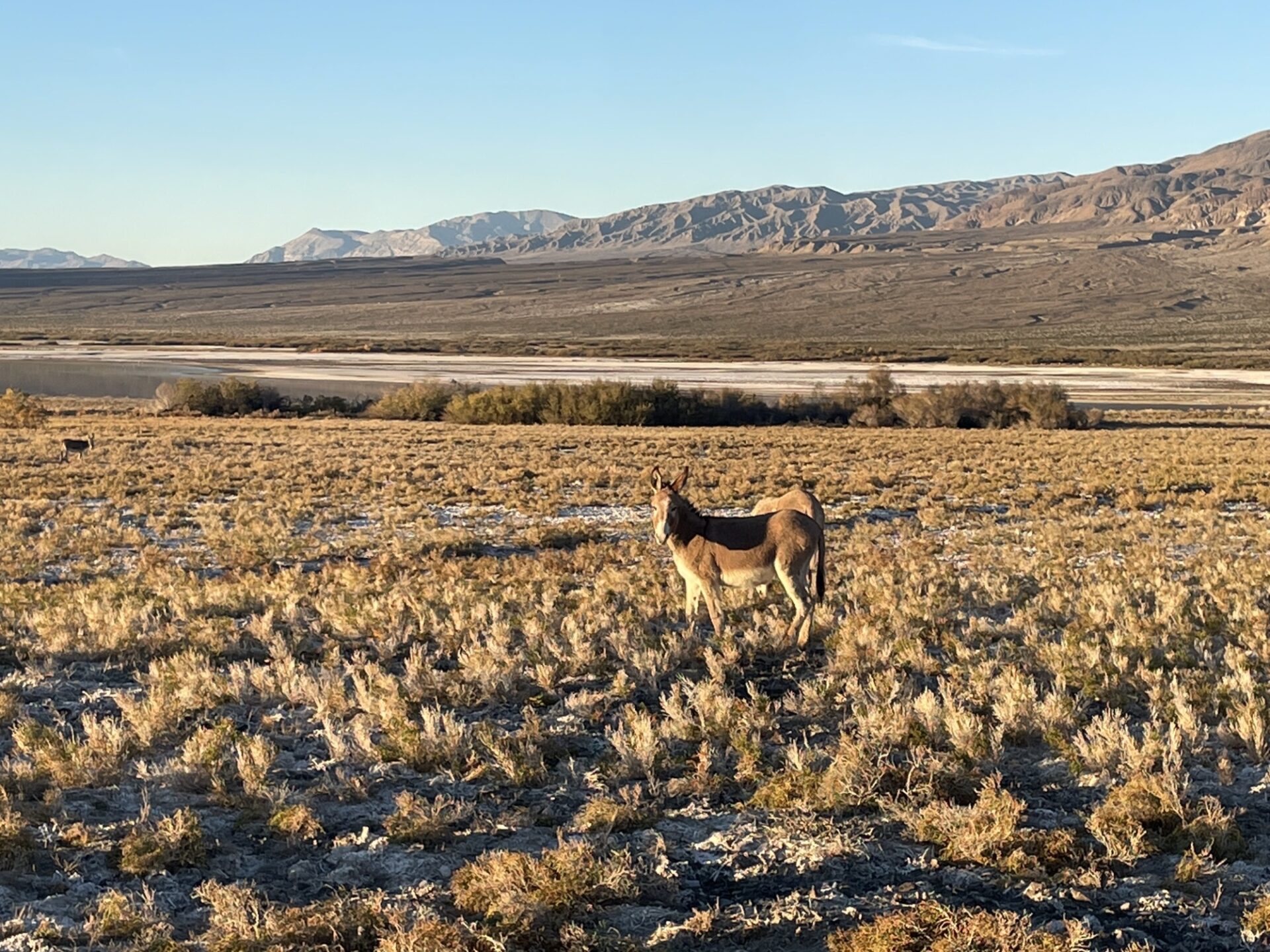
In early December 2025 Fernando, Jim & Danny went to Panamint Valley.
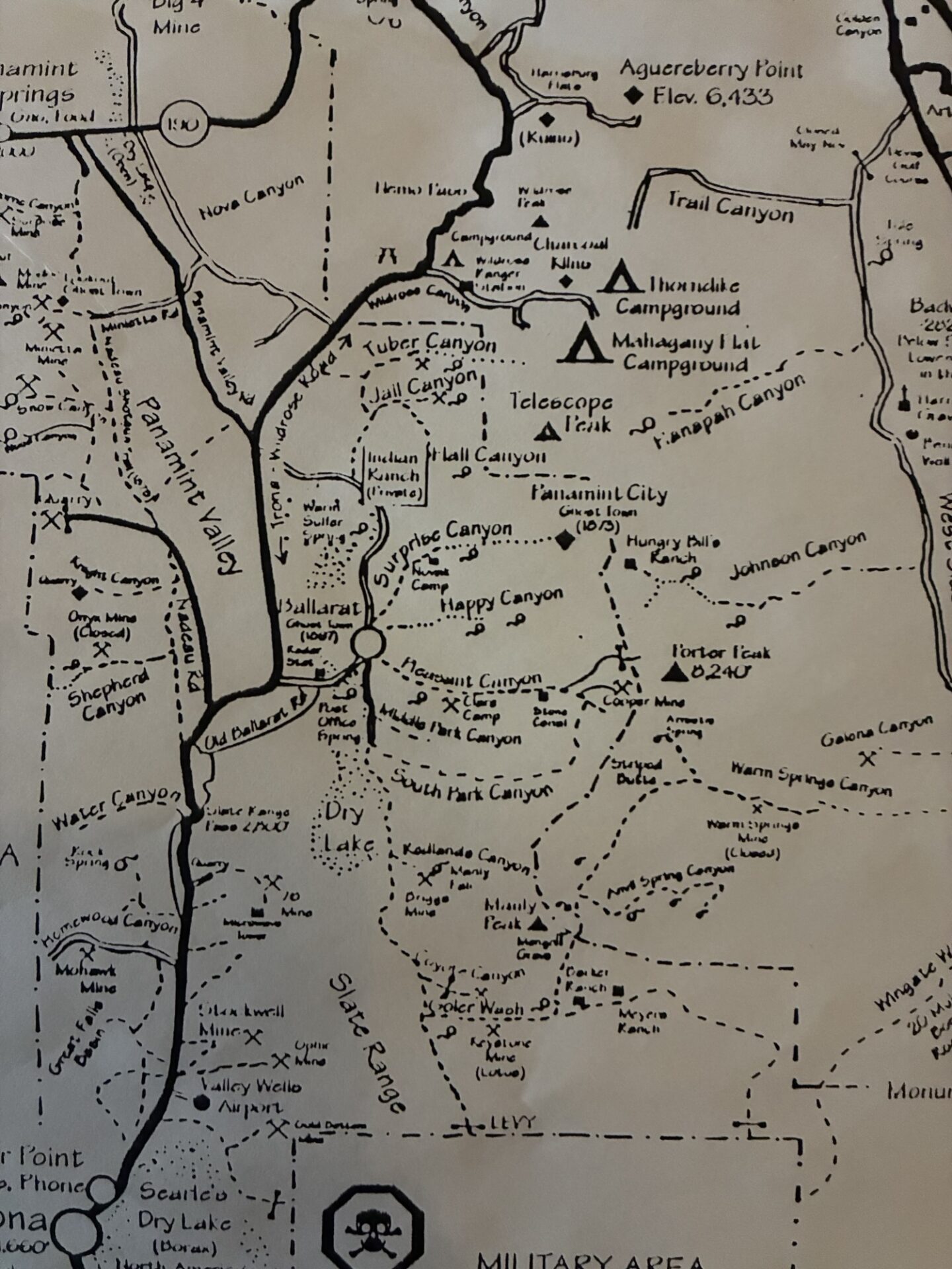
Much of western Death Valley was closed due to recent storm damage, but the Pleasant Canyon-South Park Canyon loop was open. Since the trail had been snowed-in the past few February club trips this was a great opportunity.
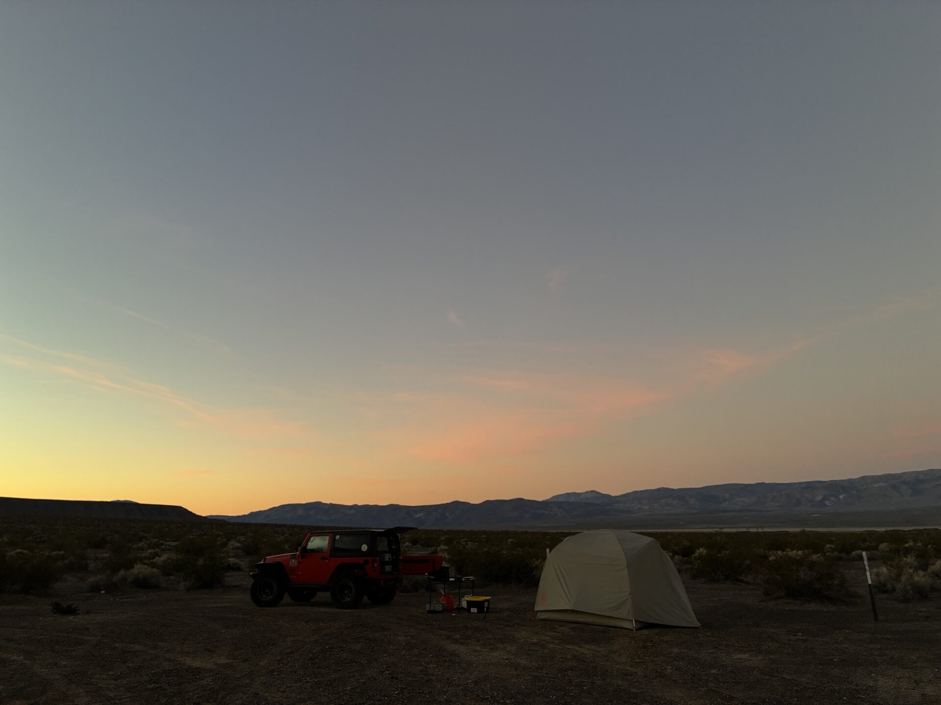
Danny, who was towing Annabelle with the Sprinter, left SB super early, and Jim and Fernando caught up just before Trona, where we refueled and got our traditional fried chicken from Chesters for lunch. Passing Ballarate we set up camp in our usual spot near the Surprise Canyon wilderness. The weather was perfect, low 70s on the valley floor, clear blue skies and absolutely no wind!
We set up camp with some daylight to spare and decided to check the condition of Surprise Canyon and Chris Wicht Camp, the trailhead to Panamint City, which we had not seen for a couple years. We discovered the road was blown out and impassable (at least for our vehicles) prior to Chris Wicht Camp.
Next we checked out the condition of Jail Canyon,
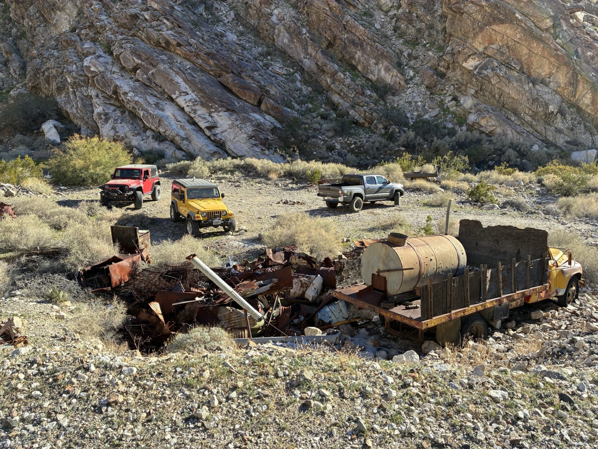
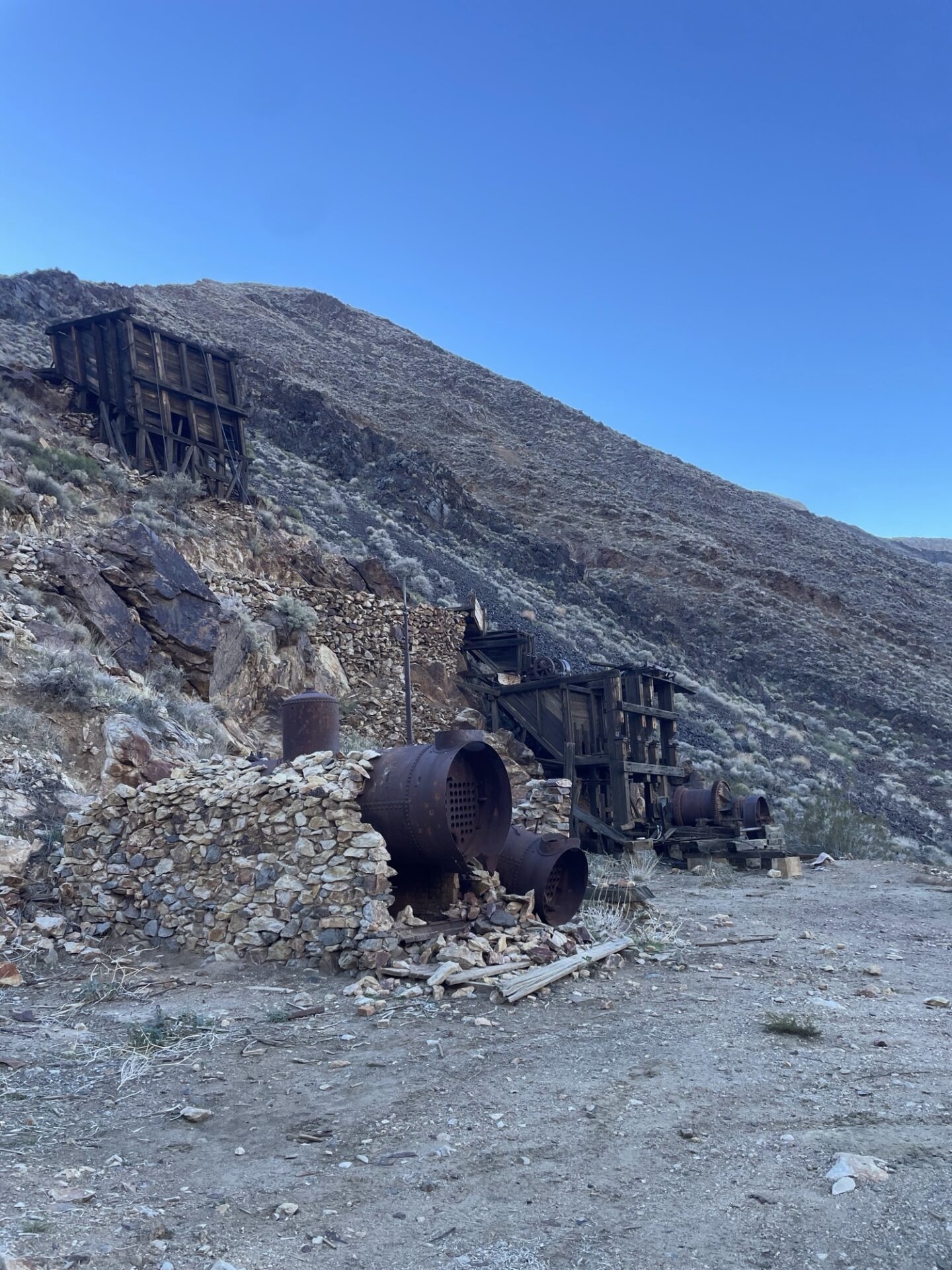
stopping at the Corona mine and checking out the infrastructure artifacts.
We headed back to camp and relaxed by a fire on a beautiful and starry (until the full moon came up) night.
We woke early the next day and headed up beautiful Pleasant Canyon, stopping to check out various mining operations artifacts.
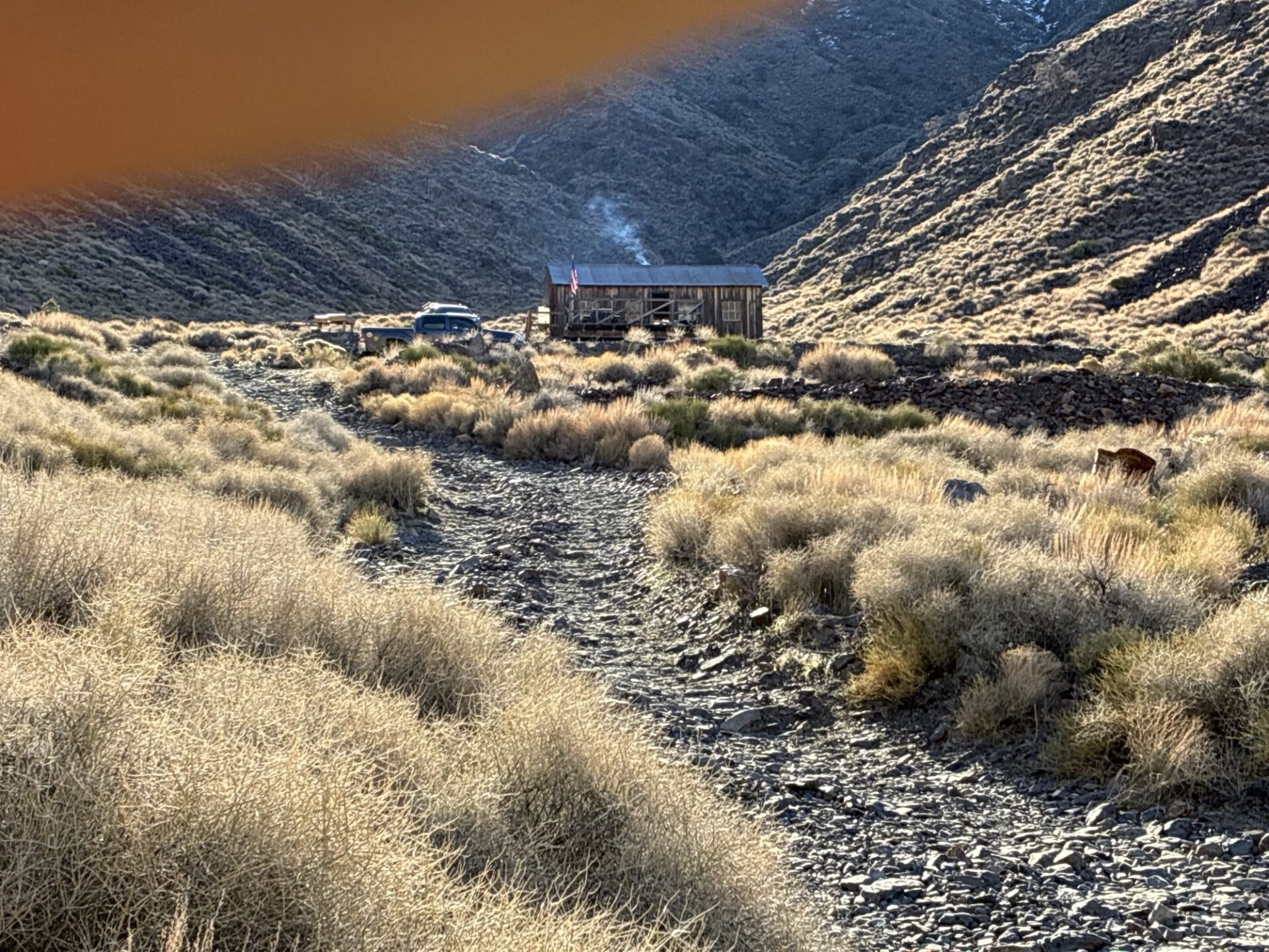
World Beater cabin was occupied, the current tenants enjoying a fire in the crisp Fall morning. They were the only people we saw all day.
On the way up we checked out a couple lightly used side roads to old mines, seeing how far we could make it. Some were still snowy, and we were the first tracks since the recent storm.
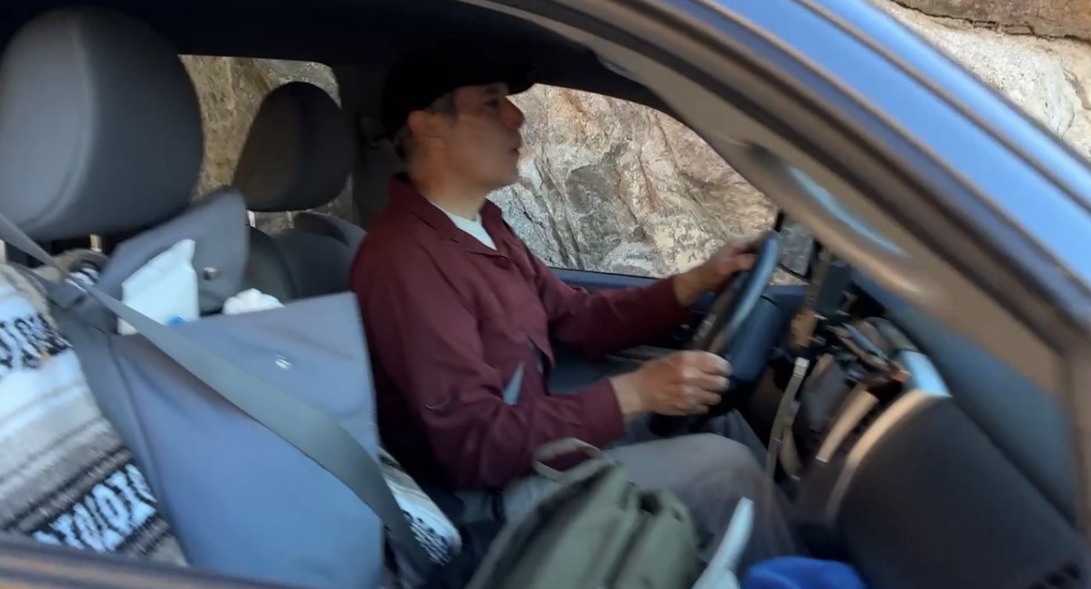
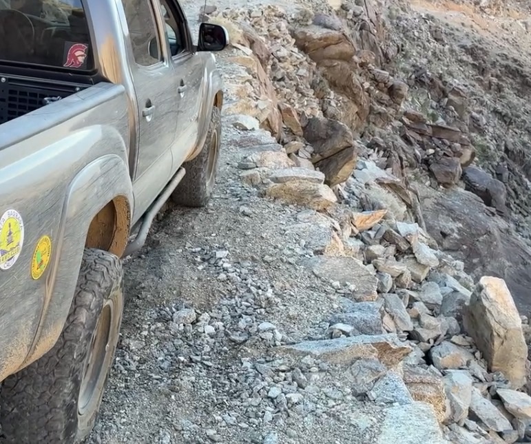
We tried to make it to World Beater Mine, but the road was blown out requiring a careful reverse down a steep rocky shelf road. The road to Radcliff, an active mining operation, was closed.
The road to Cooper Mine (or Copper Mine, depending upon which book you are reading) ended with a snowed-in dead end, requiring careful retreat in reverse to get to a turnaround spot.
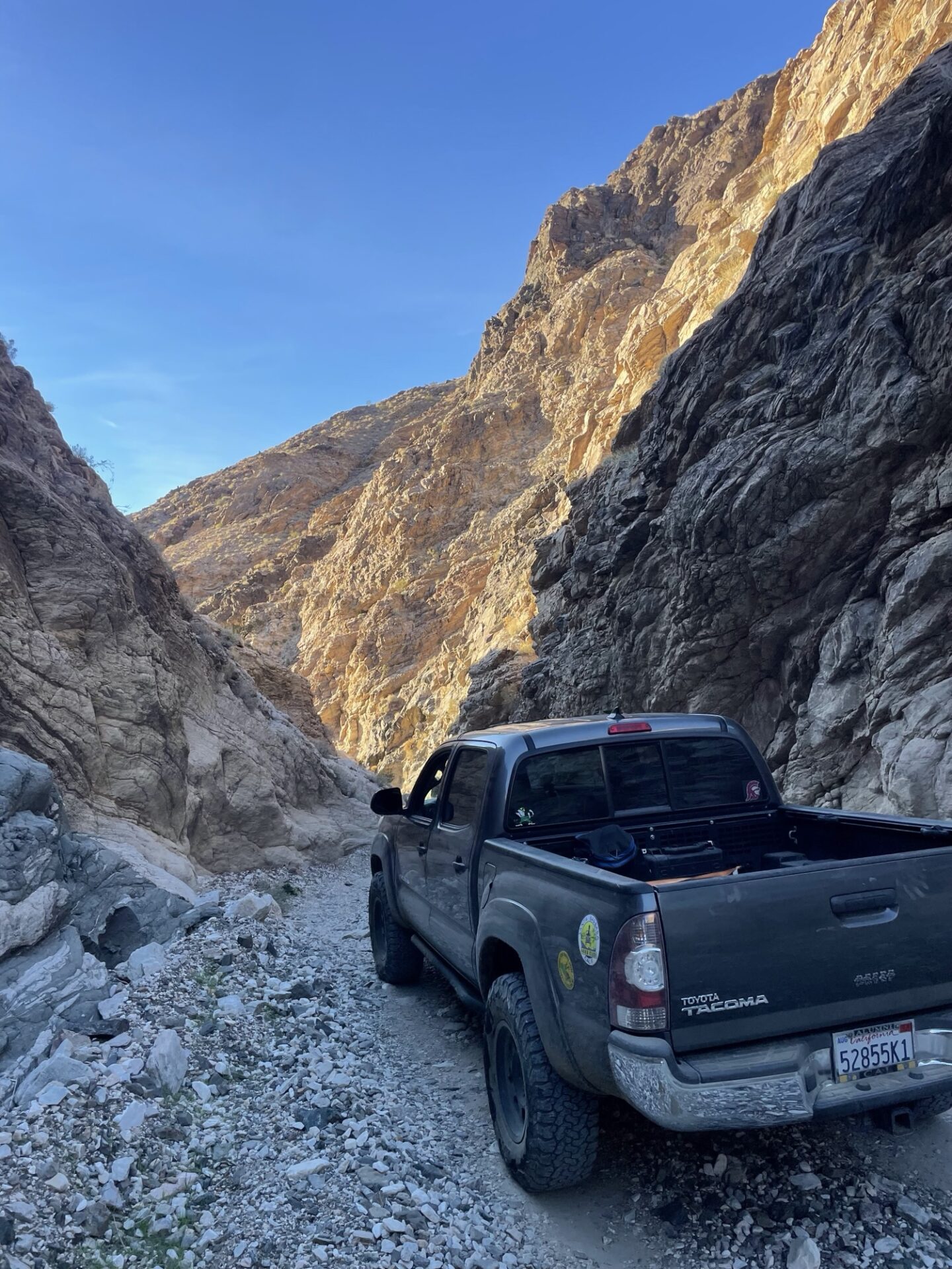
The group stopped for lunch near Rita’s Cabin and then continued on through Middle Park Canyon, looking down towards Death Valley and Striped Butte, which we saw in February from Geologists’ Cabin. We took the lower and more direct south-facing routes to stay out of the snow and get to South Park Canyon, wanting to be sure we had enough daylight to get past Chicken Rock and a recent landslide over the trail before dark.
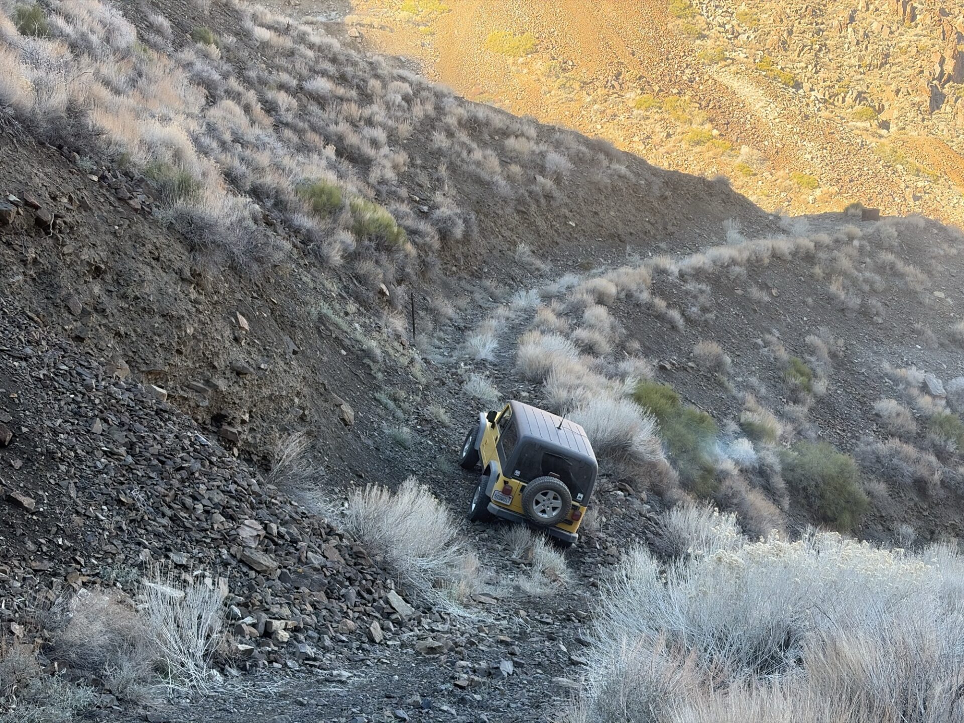
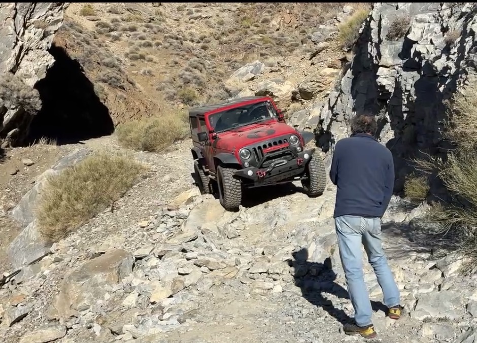
Chicken Rock is scary, as advertised. Members check out the photo album for some videos, including Danny’s from inside the vehicle.
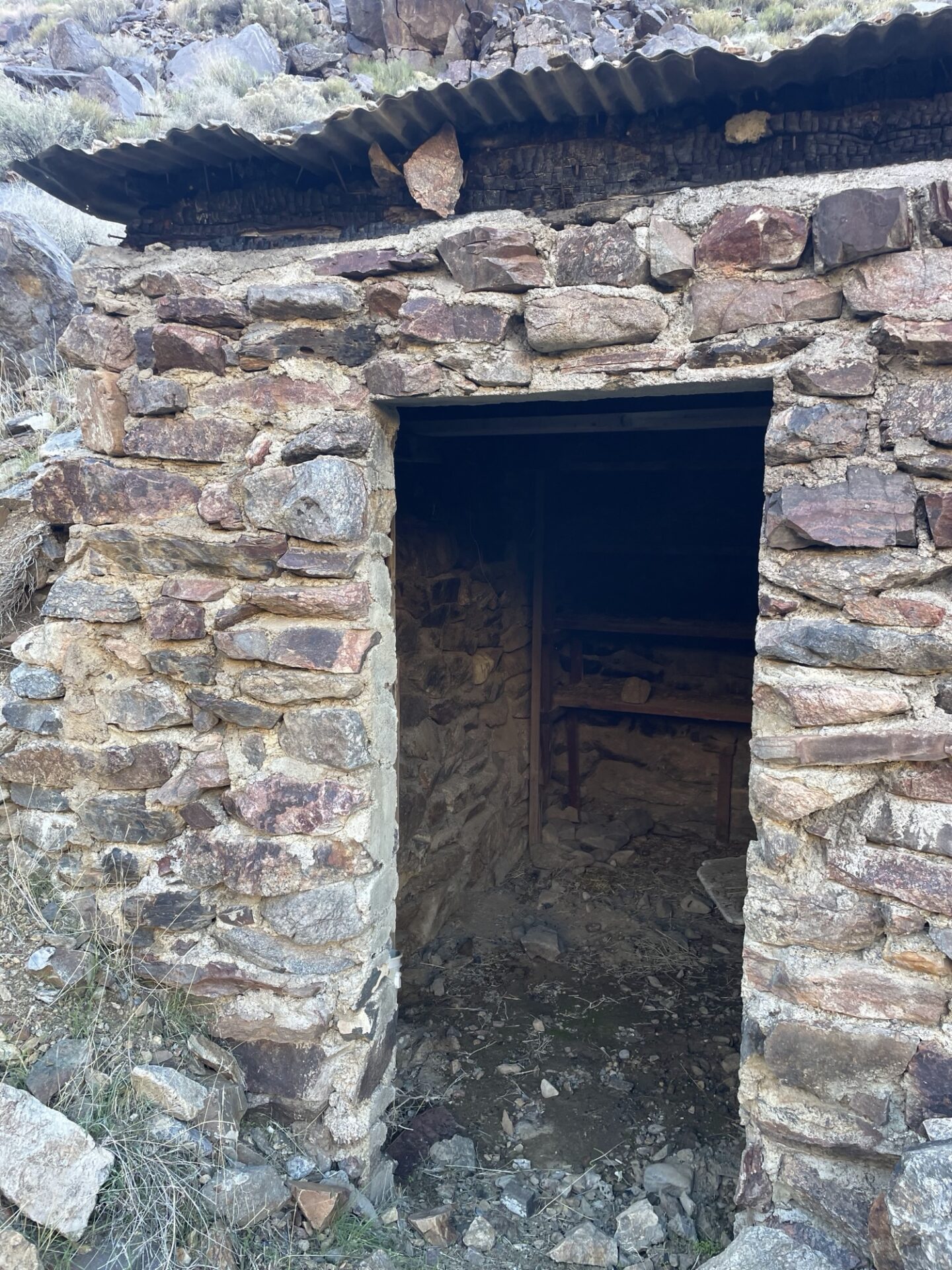
Briggs Camp was unoccupied, and it is in amazing condition, the Friends of Briggs do a great job.
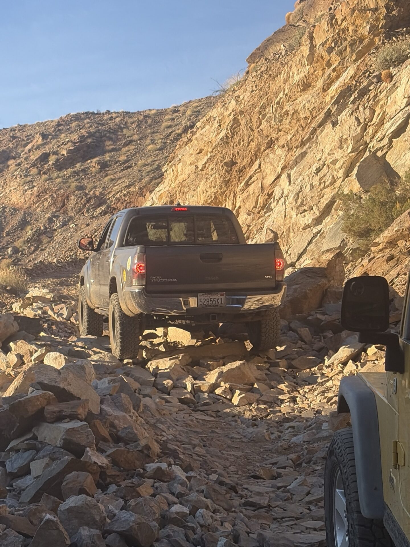
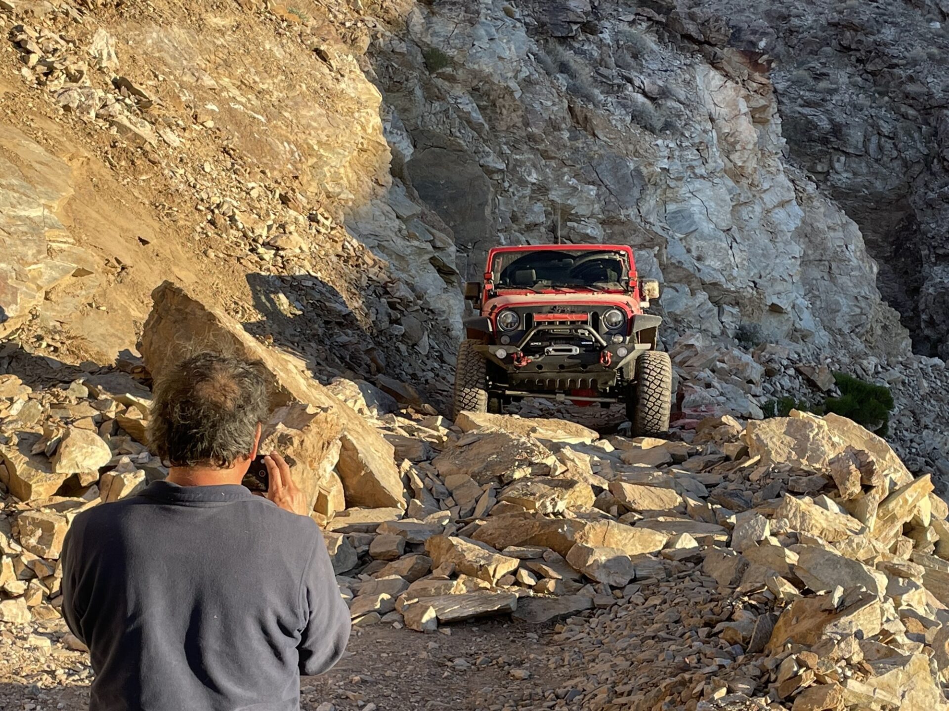
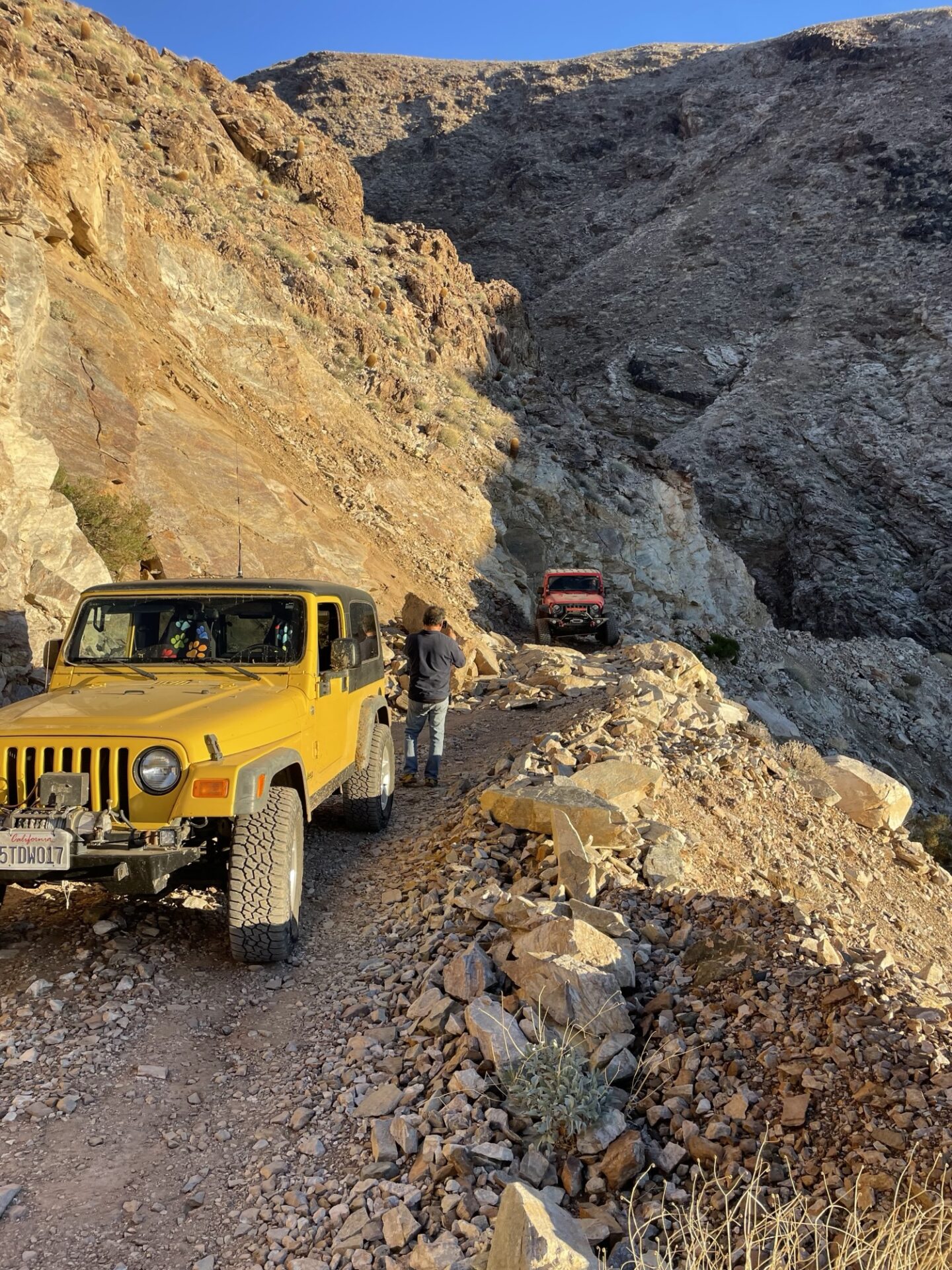
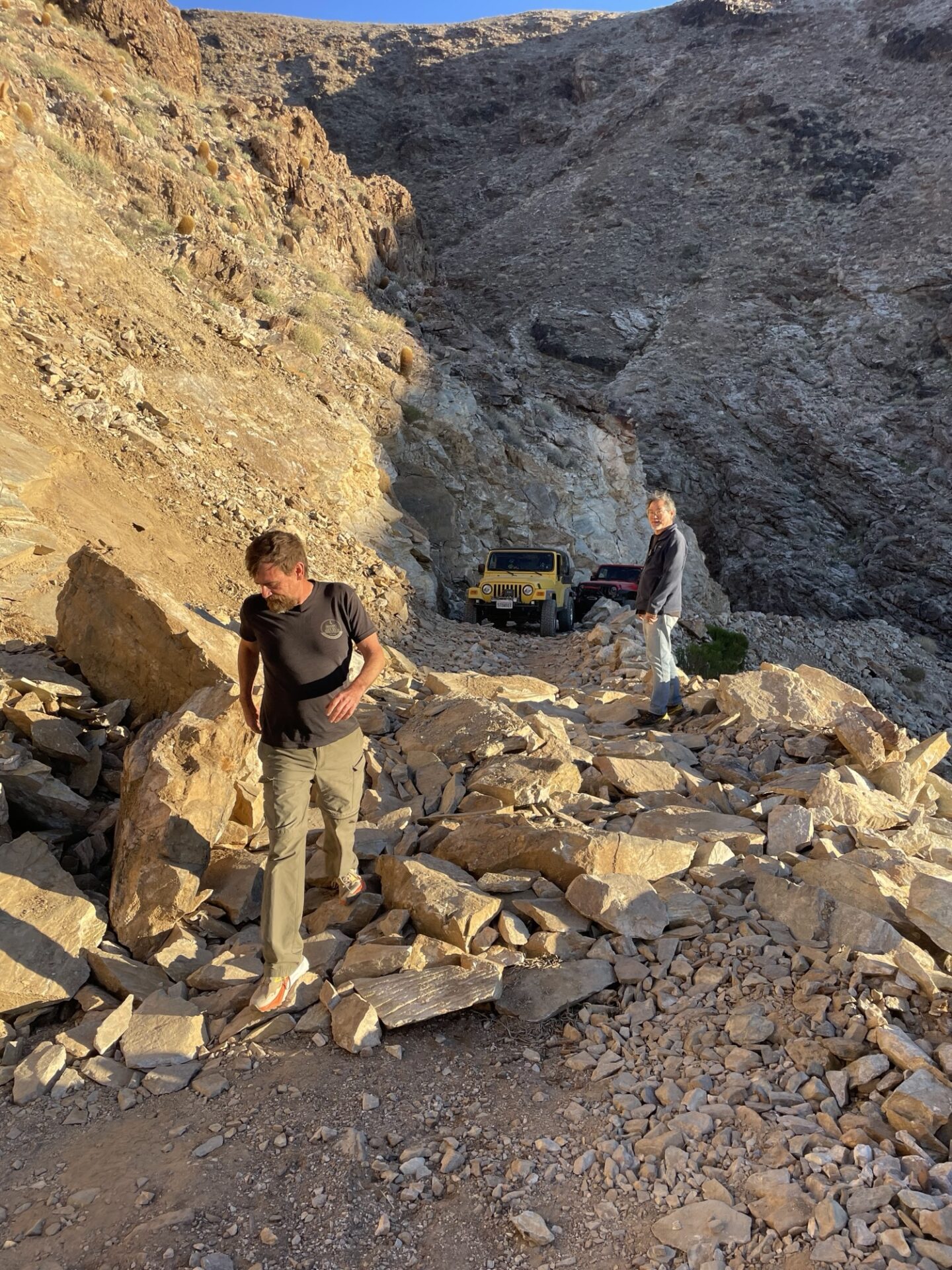
We made it to the landslide, which had been cleared enough to get through with some spotting. Which was a good thing as the sun was getting low and it had taken us all day to get there.
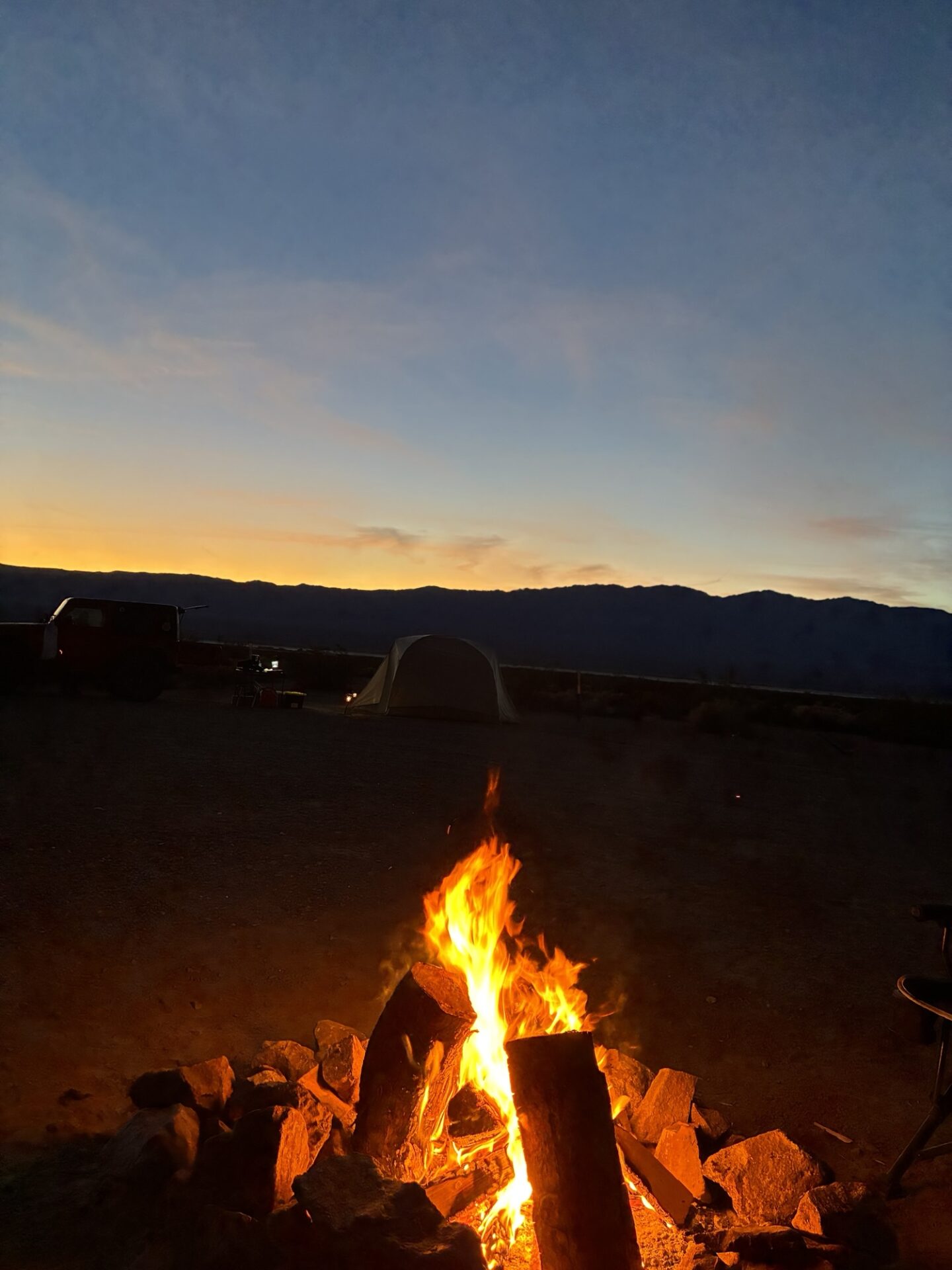
We returned to camp and had another great night sitting by the fire with no wind.
The next day we spent hiking, exploring nearby canyons. We refueled in Panamint Springs, and treated ourselves to some delicious burgers at Panamint Springs Resort.
We drove back to camp in the dark, and enjoyed our third and final gorgeous windless night by the fire.
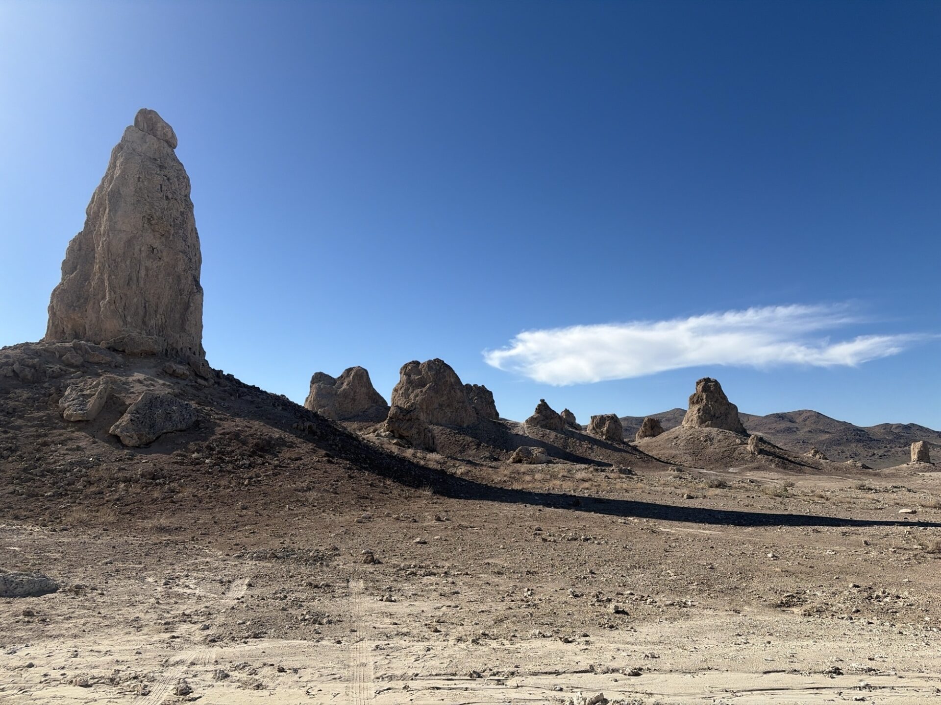
The next day we had a leisurely morning packing up and headed home, stopping at the Pinnacles for lunch.