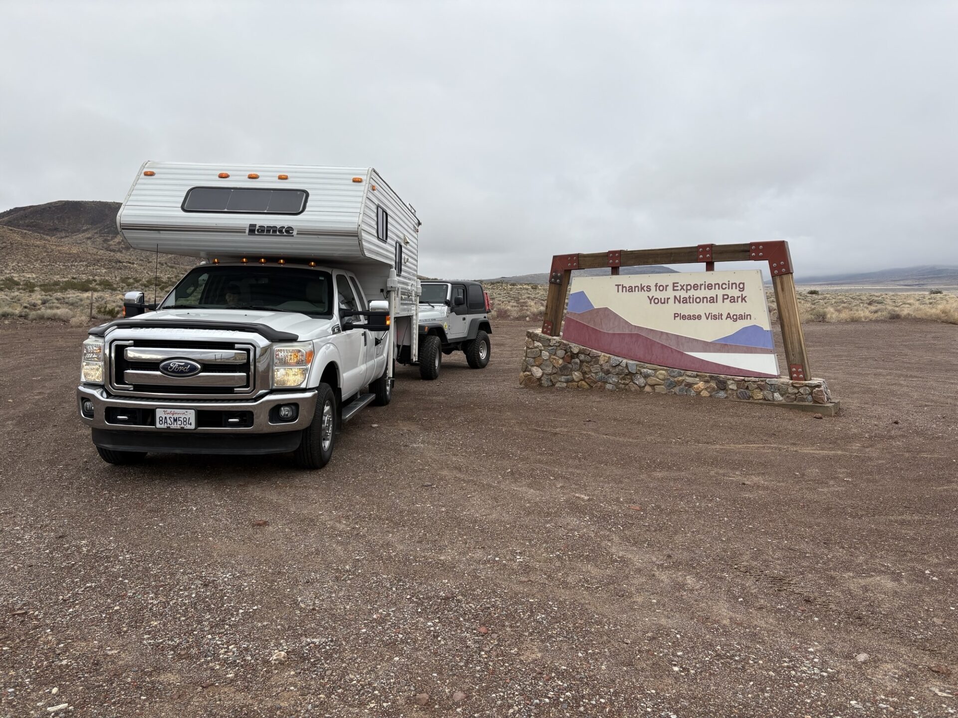
In early December 2025 Fernando, Jim & Danny went to Panamint Valley.
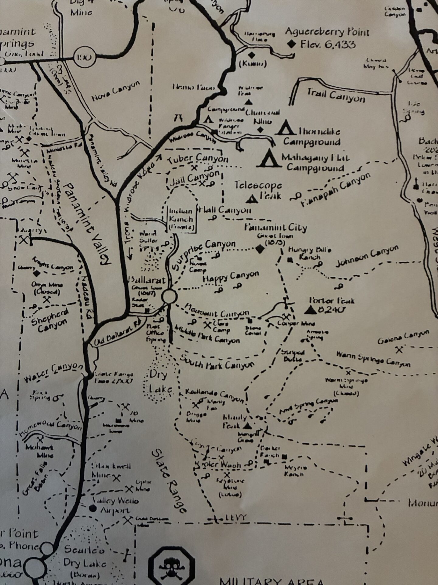
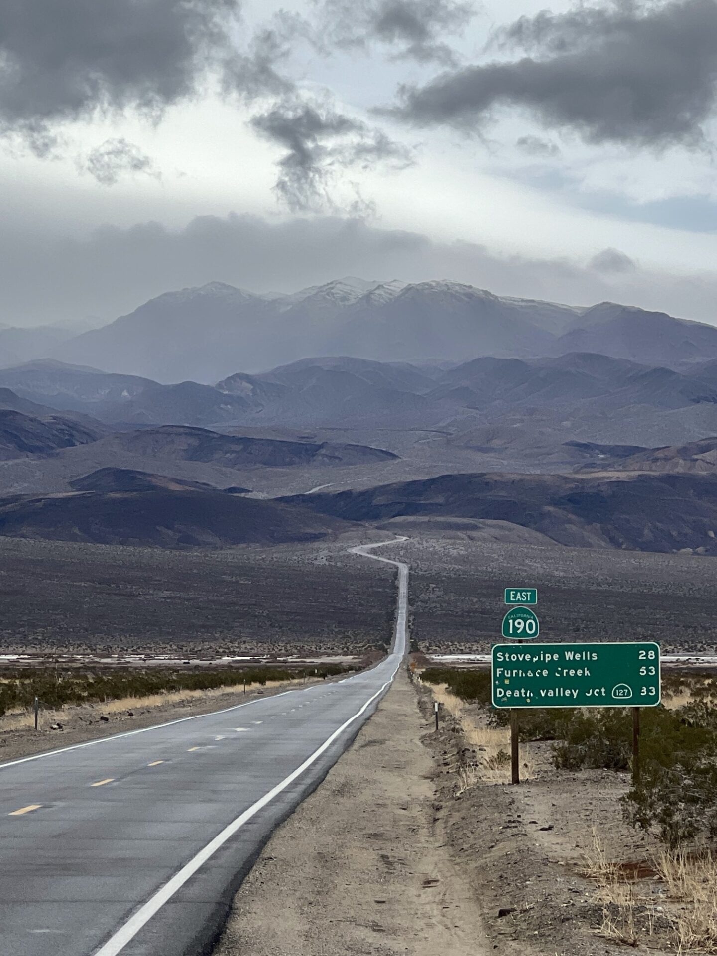
Much of western Death Valley was closed due to recent storm damage, but the Pleasant Canyon-South Park Canyon loop was open. Since the trail had been snowed-in the past few February club trips this was a great opportunity.
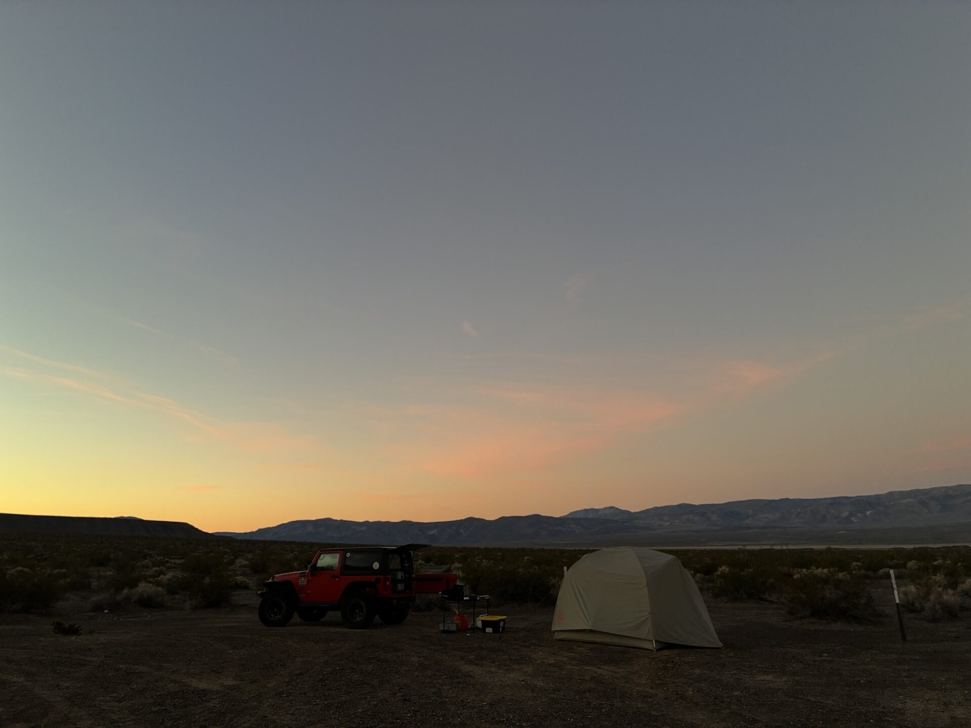
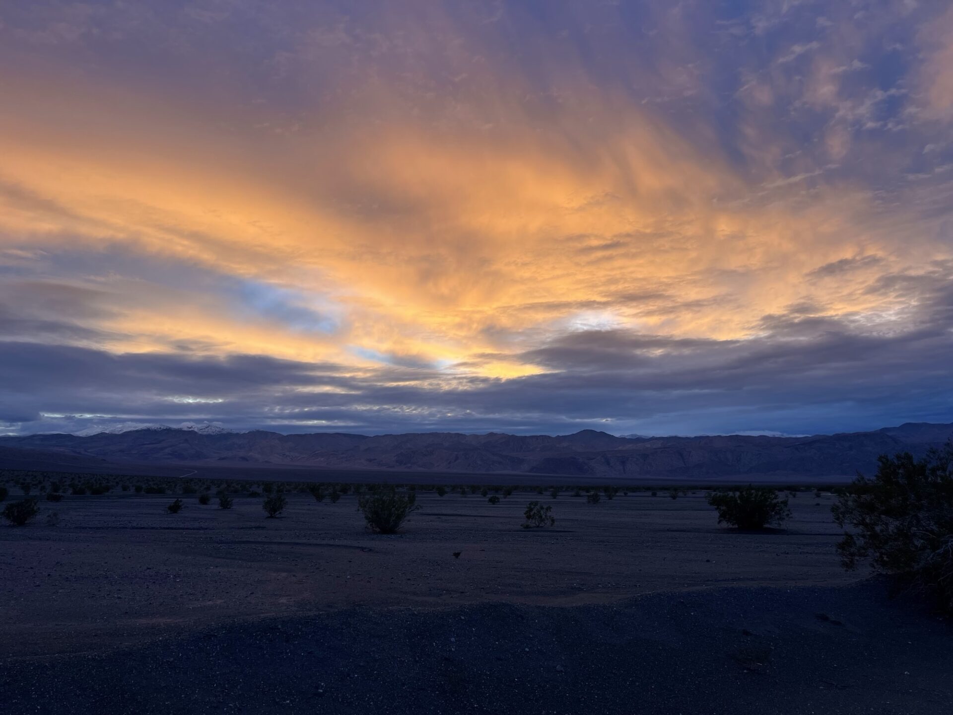
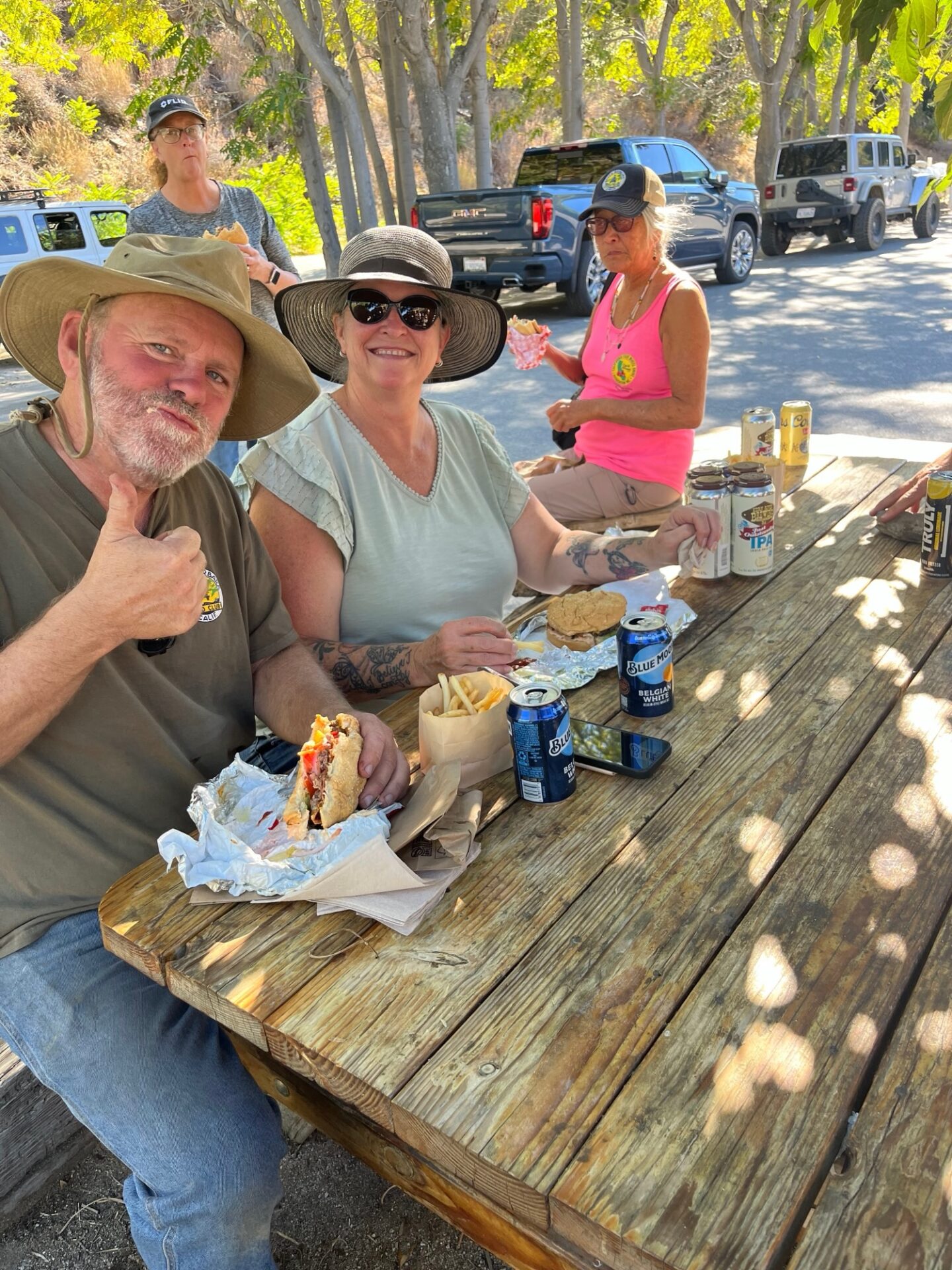
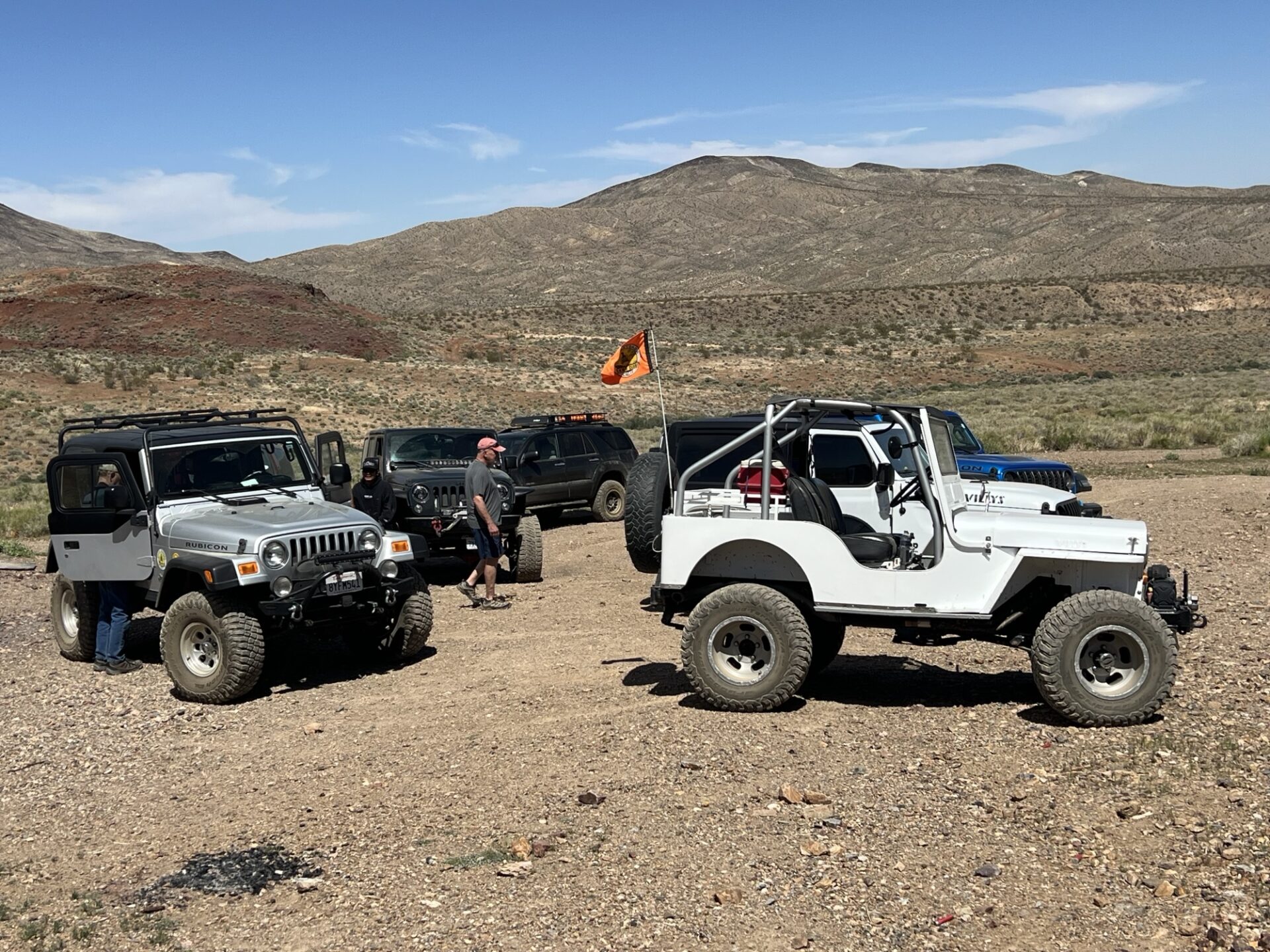
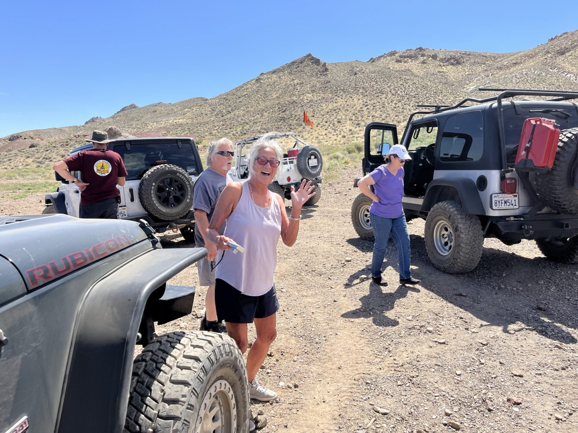
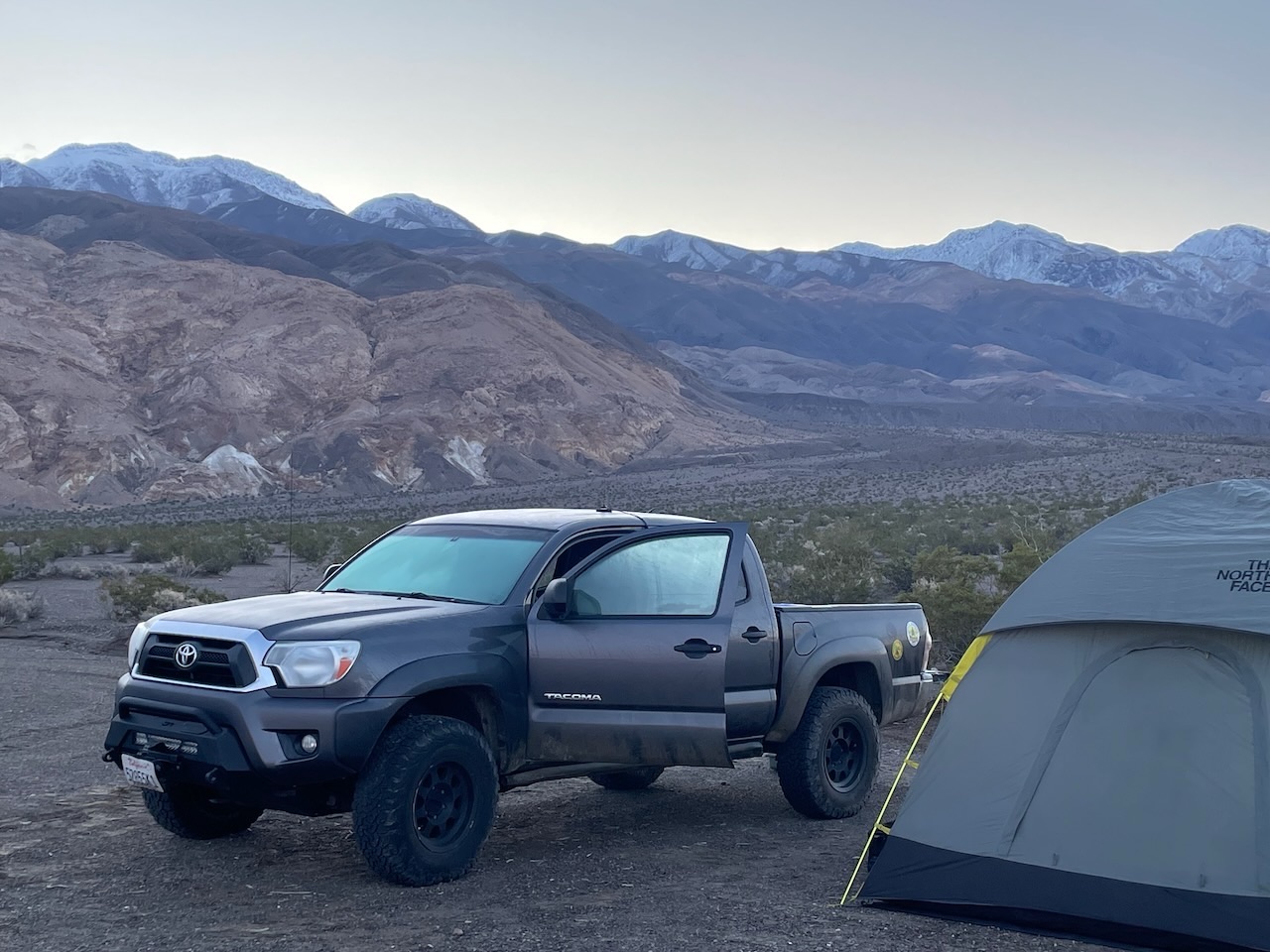
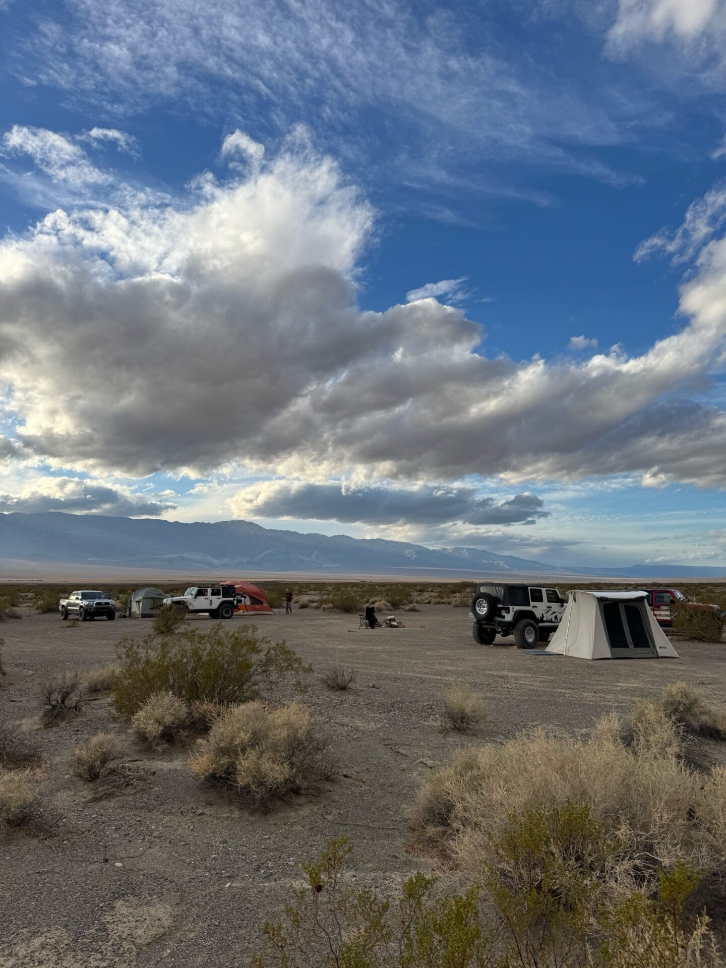
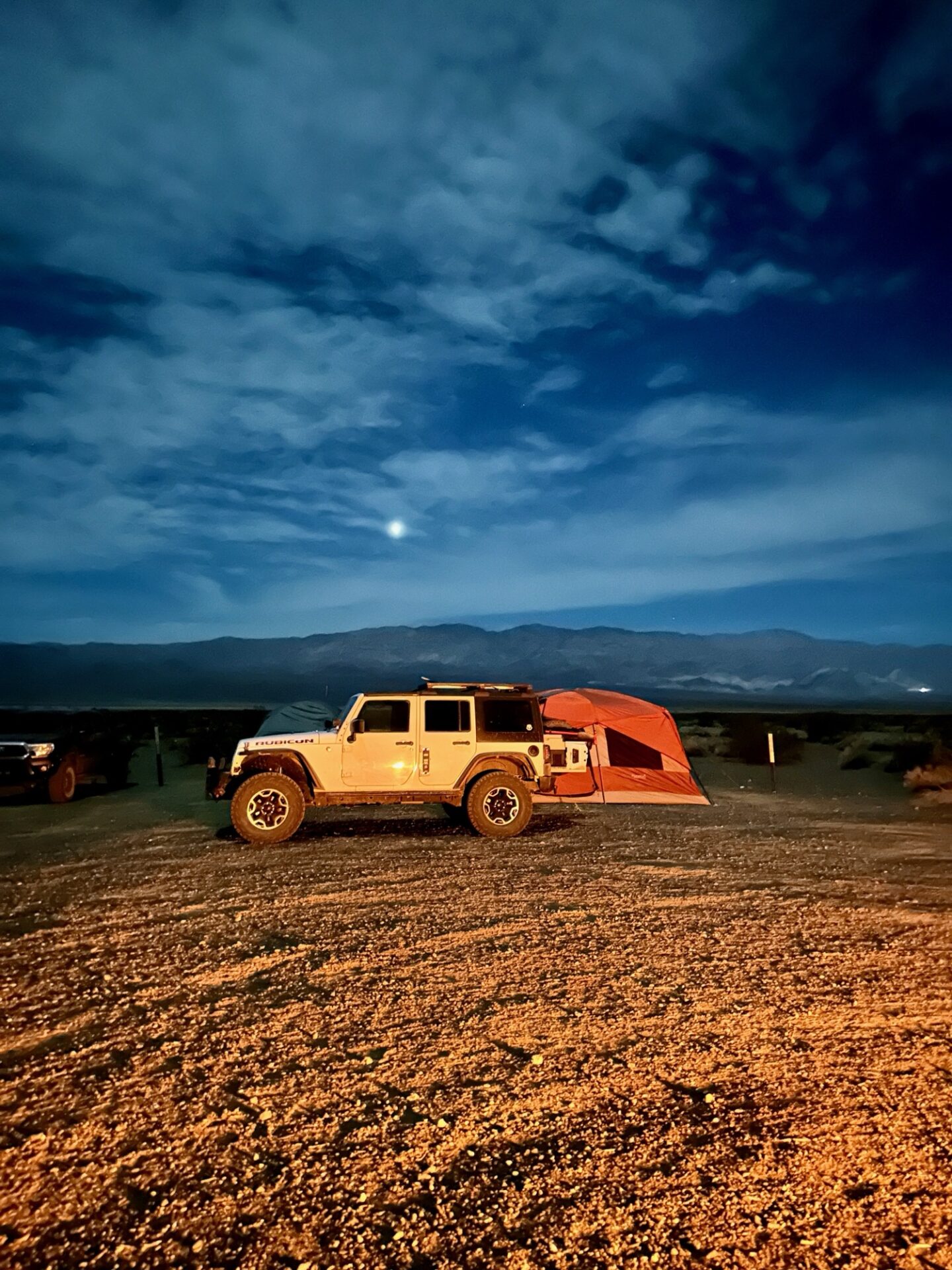
Danny, who was towing Annabelle with the Sprinter, left SB super early, and Jim and Fernando caught up just before Trona, where we refueled and got our traditional fried chicken from Chesters for lunch. Passing Ballarate we set up camp in our usual spot near the Surprise Canyon wilderness. The weather was perfect, low 70s on the valley floor, clear blue skies and absolutely no wind!
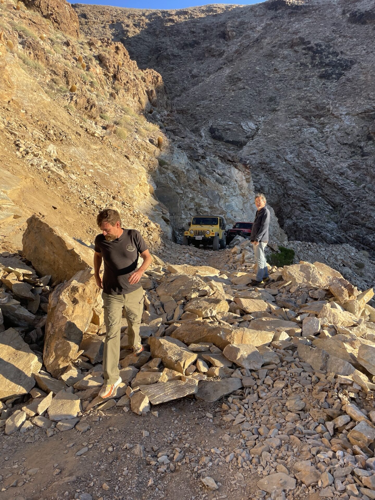
We set up camp with some daylight to spare and decided to check the condition of Surprise Canyon and Chris Wicht Camp, the trailhead to Panamint City, which we had not seen for a couple years. We discovered the road was blown out and impassable (at least for our vehicles) prior to Chris Wicht Camp.
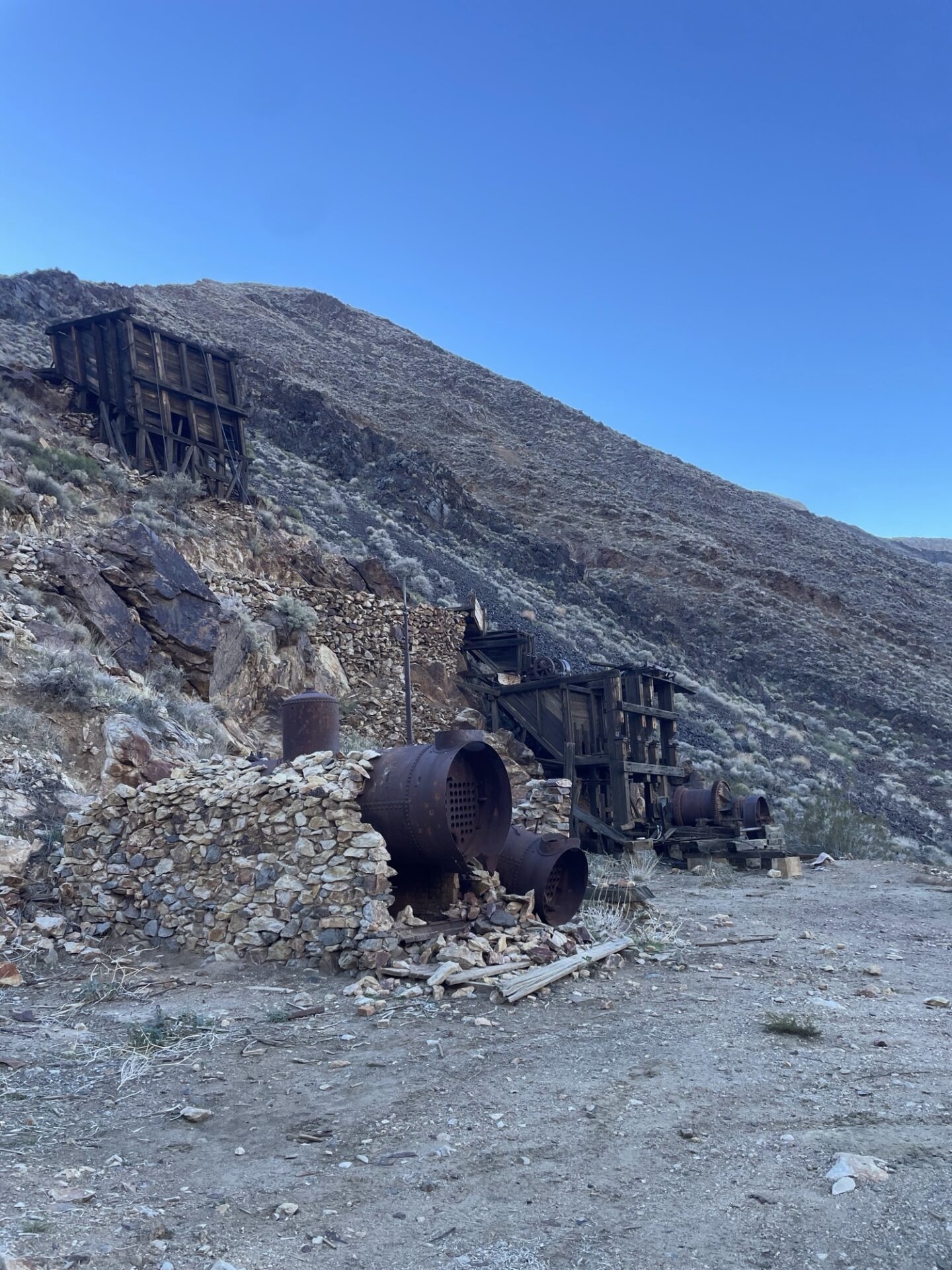
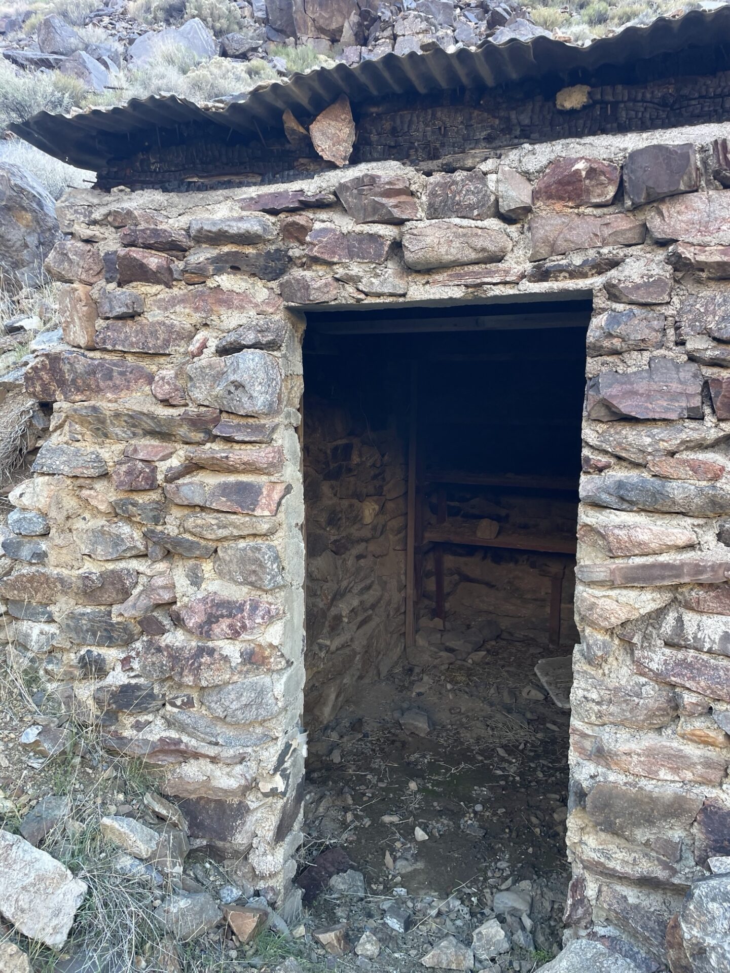
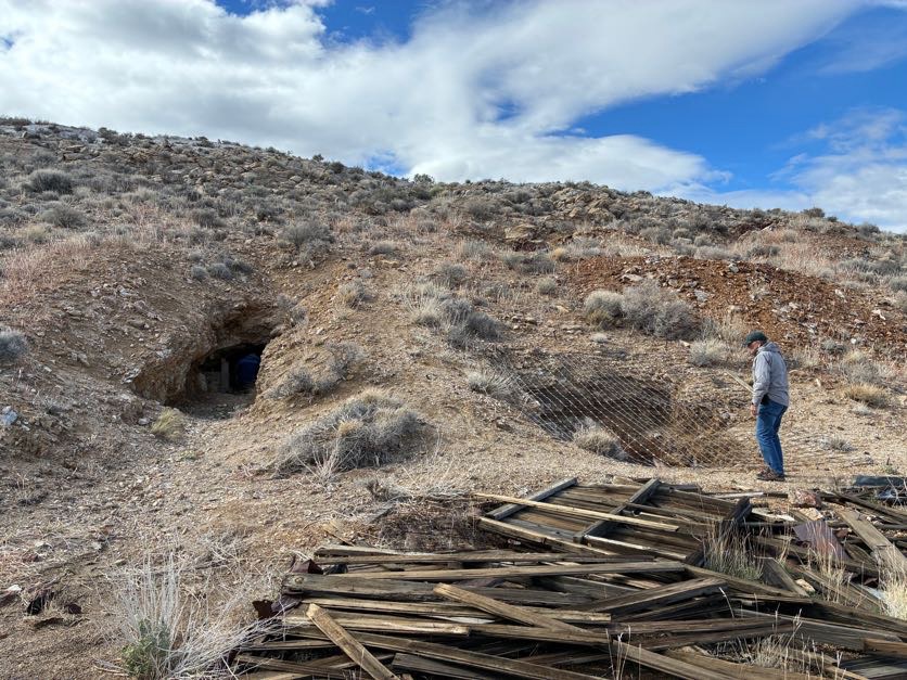
Next we checked out the condition of Jail Canyon,
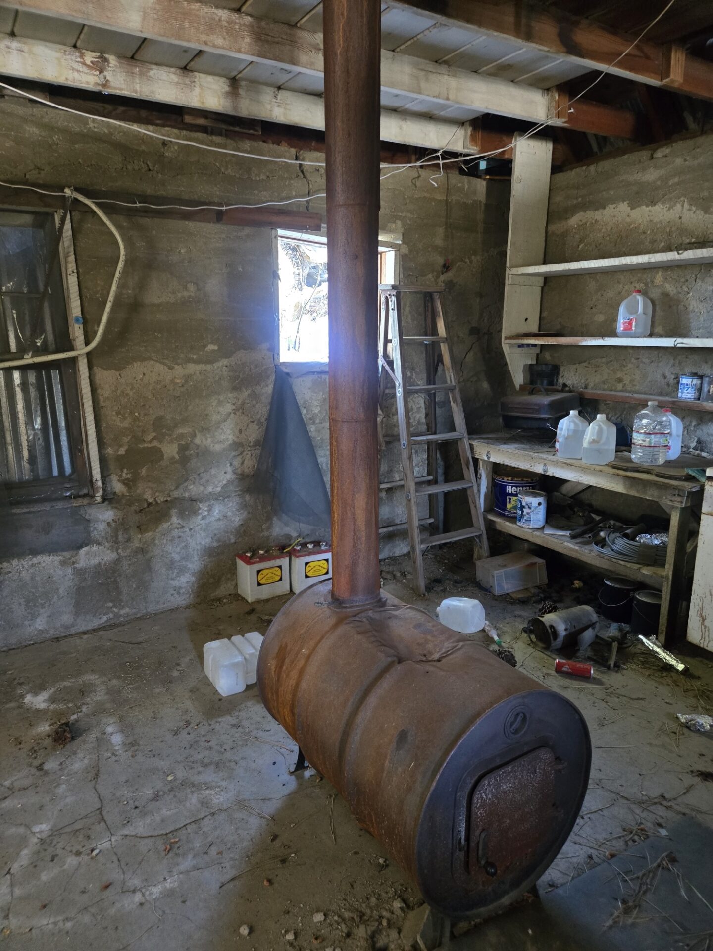
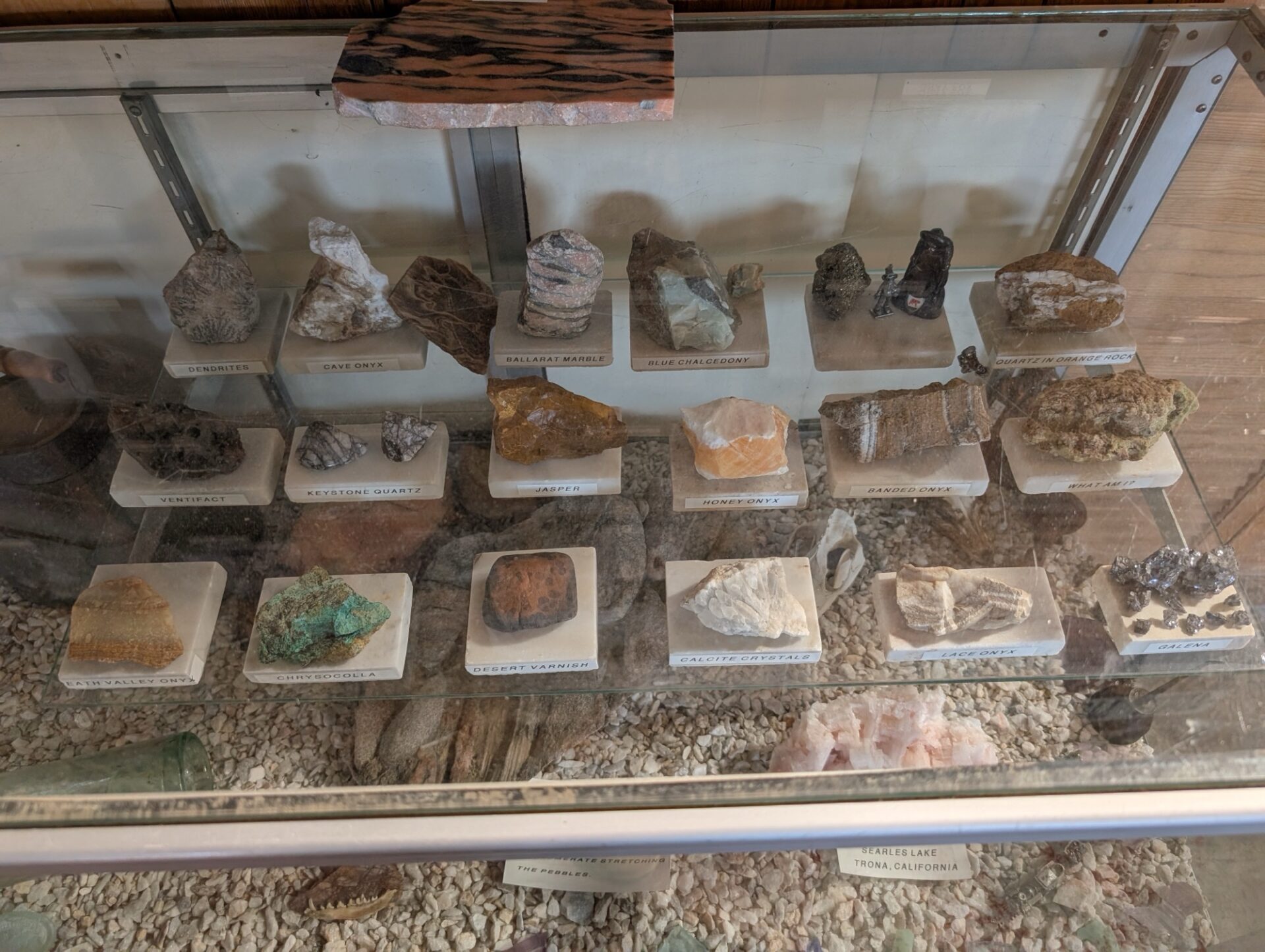
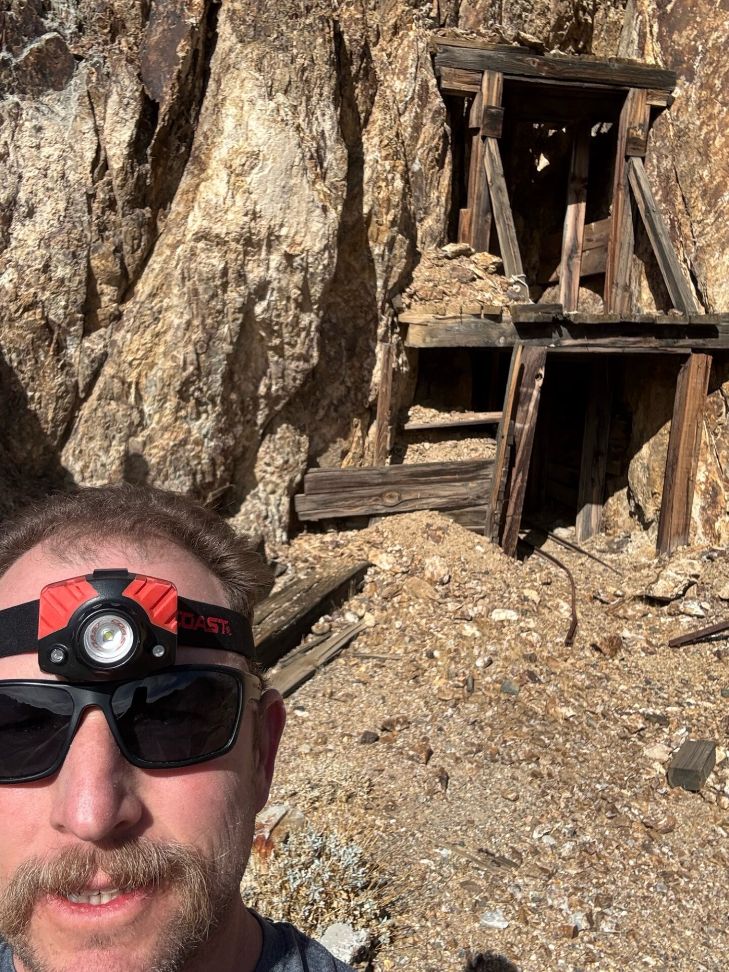
stopping at the Corona mine and checking out the infrastructure artifacts.
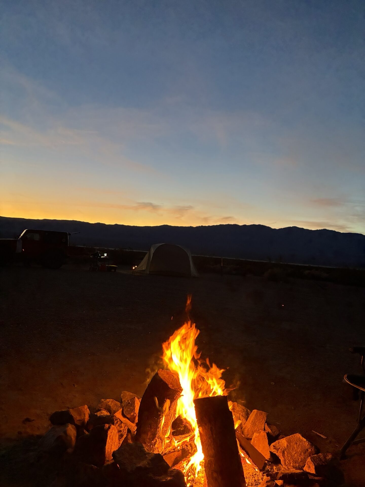
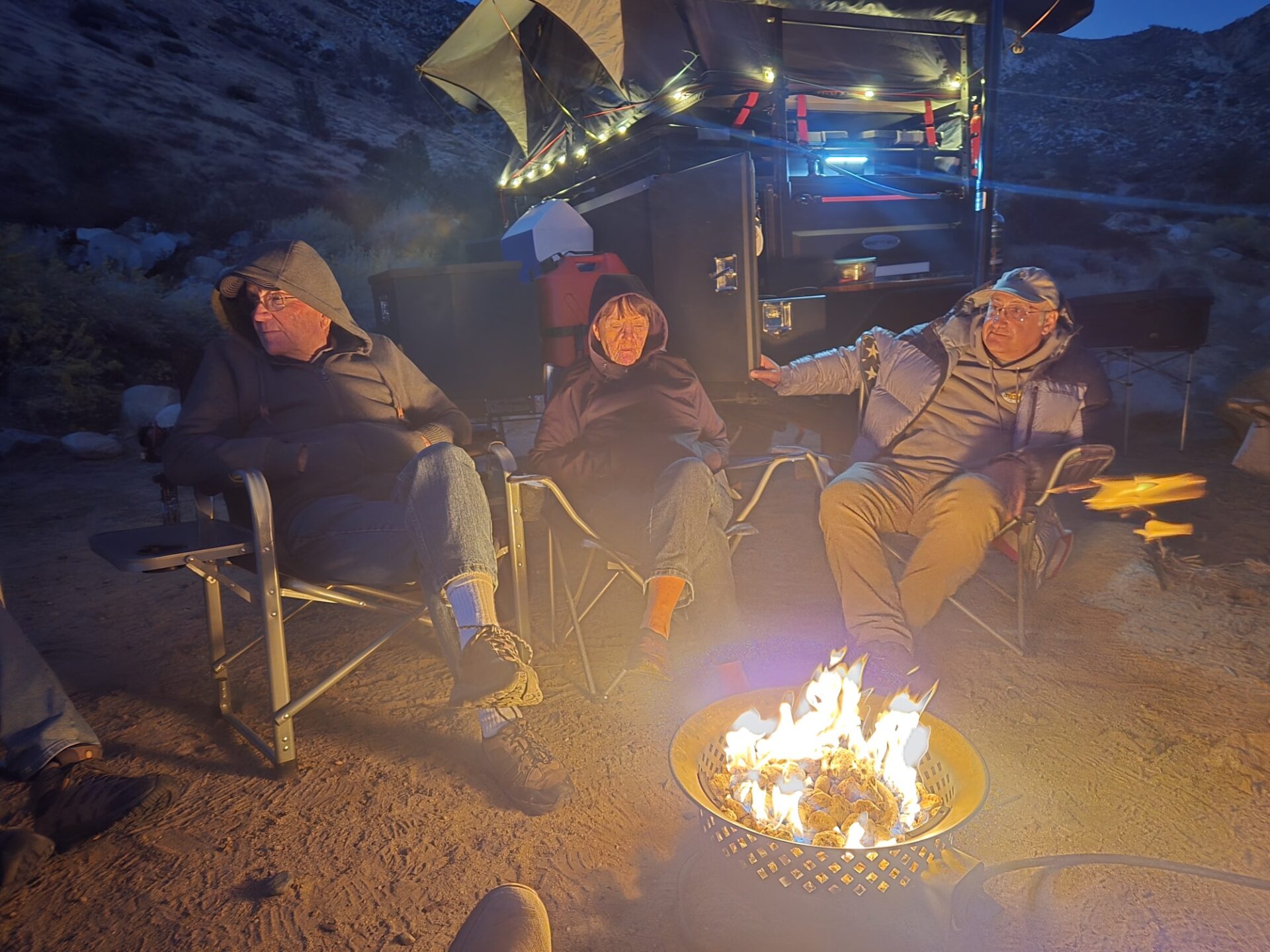
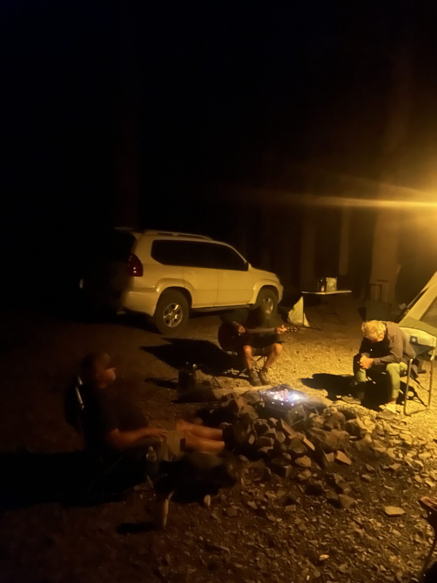
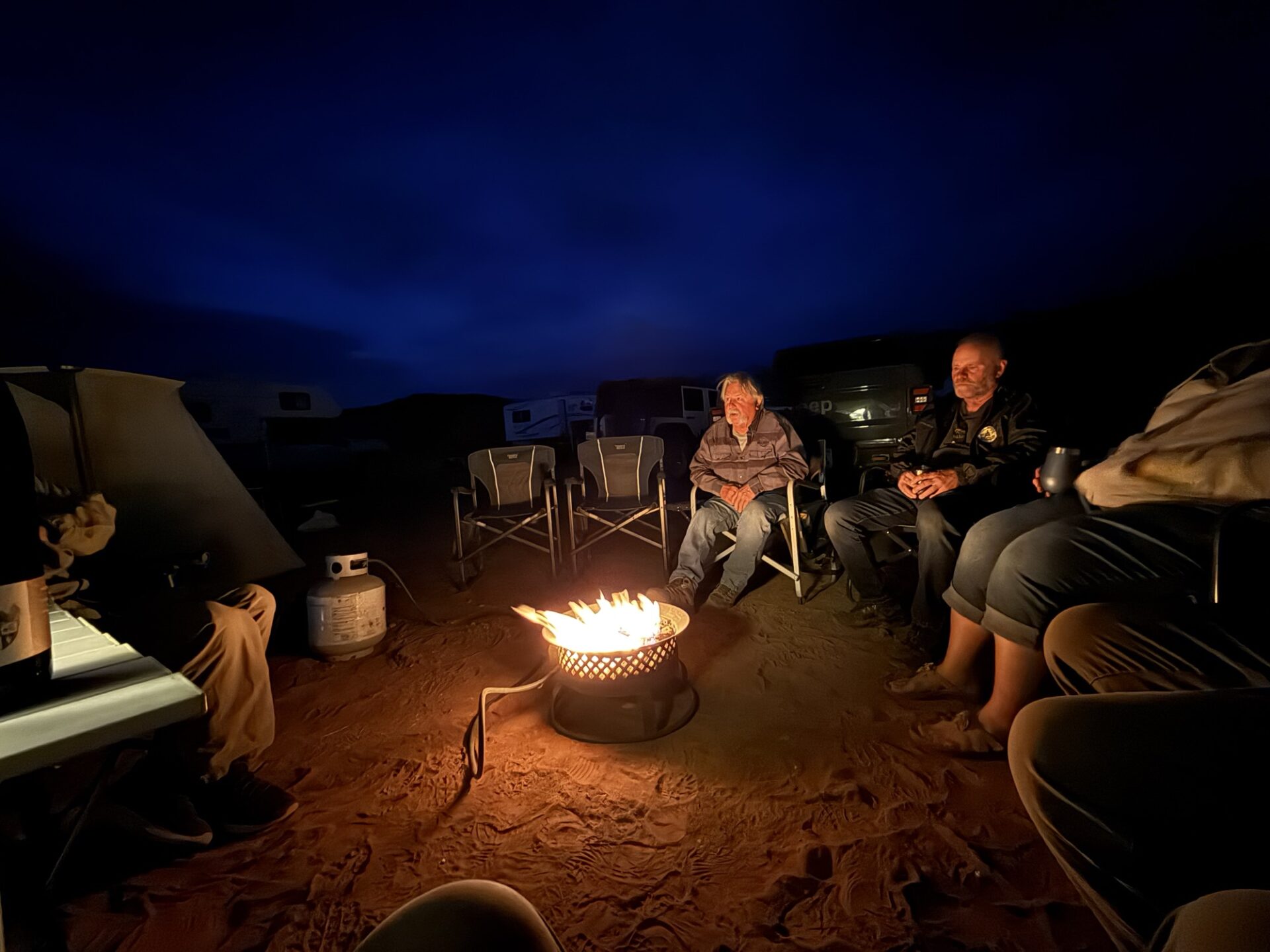
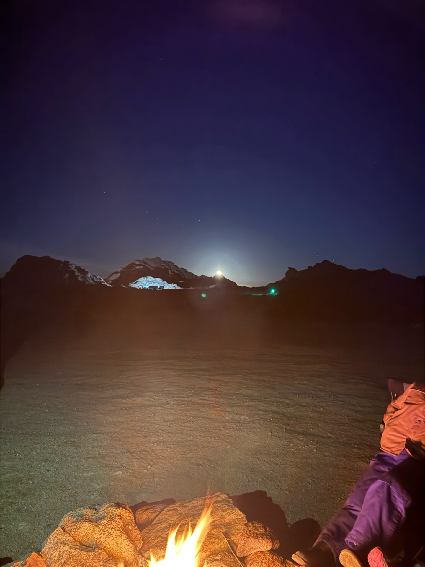
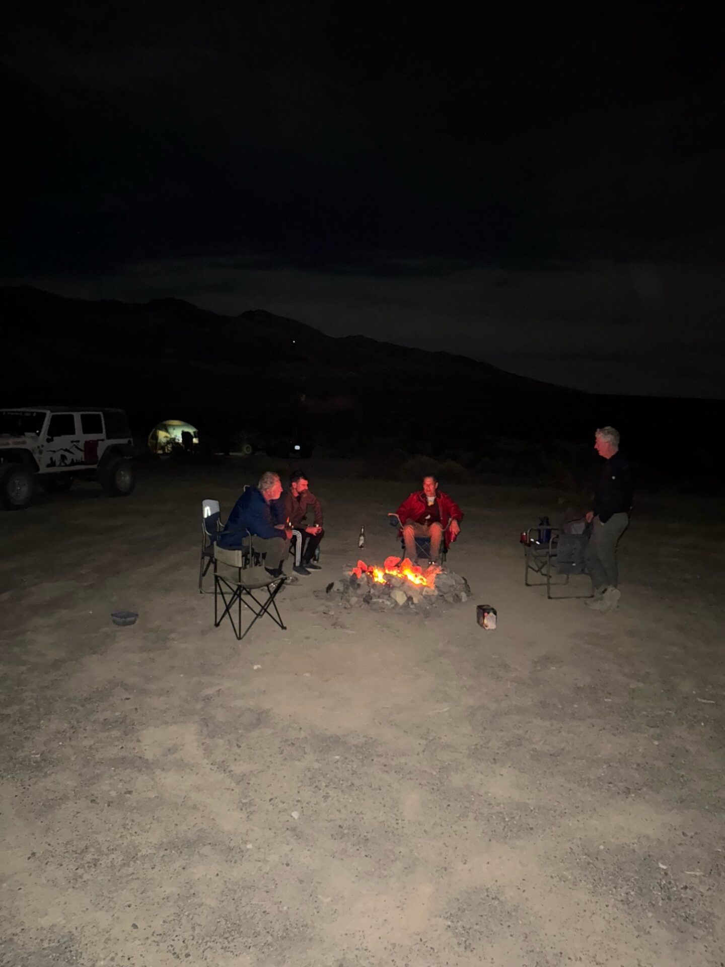
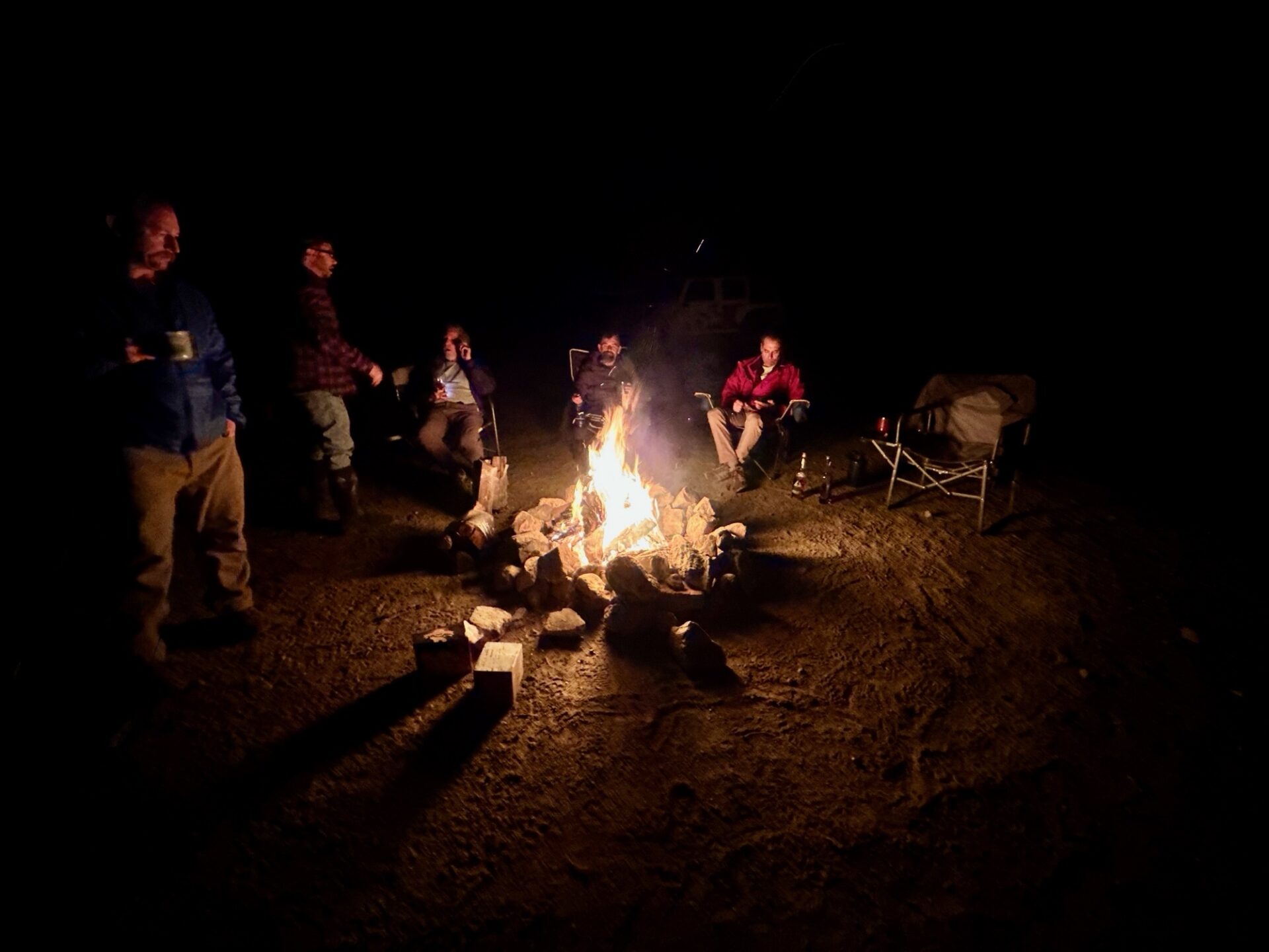
We headed back to camp and relaxed by a fire on a beautiful and starry (until the full moon came up) night.
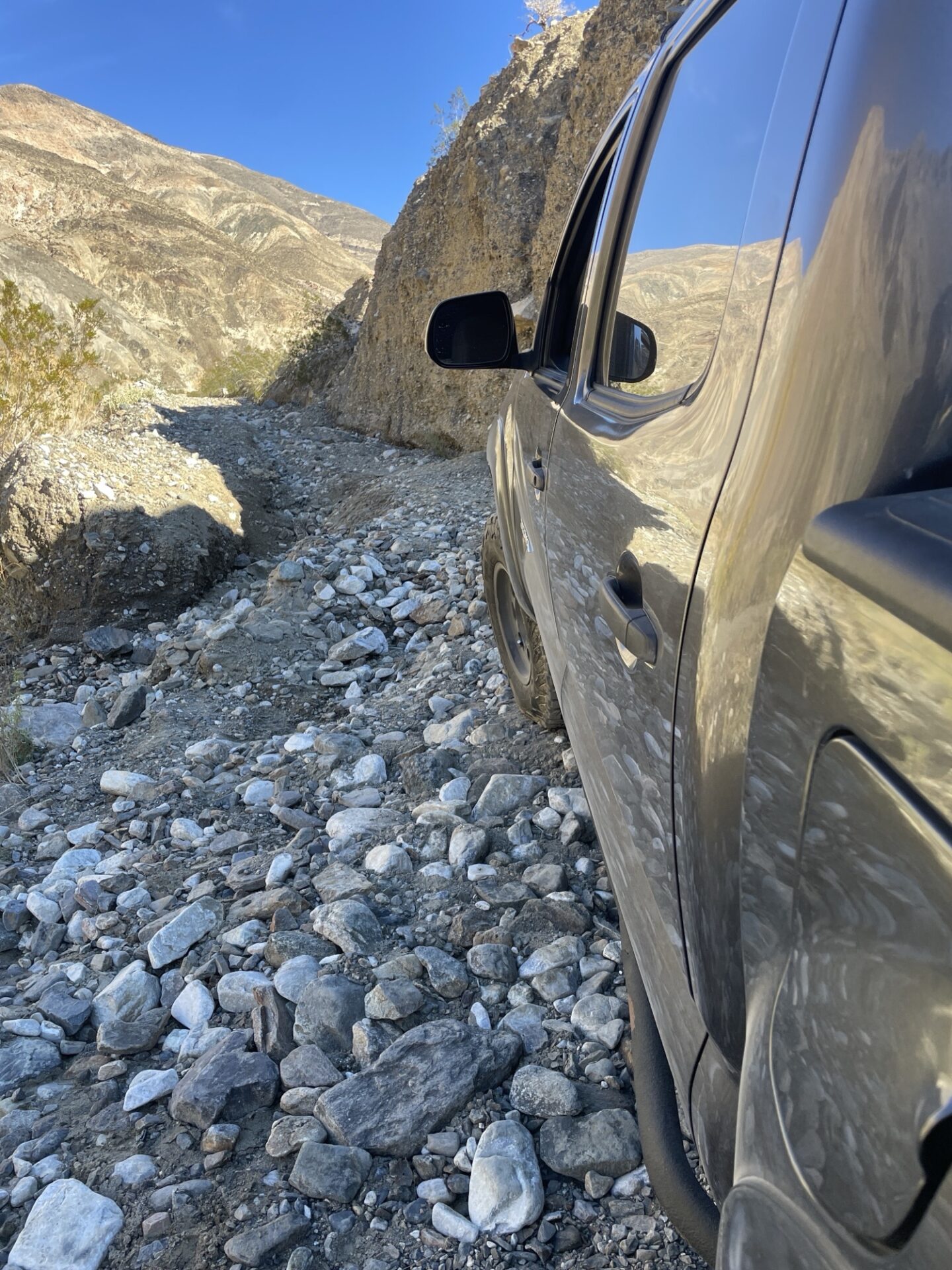
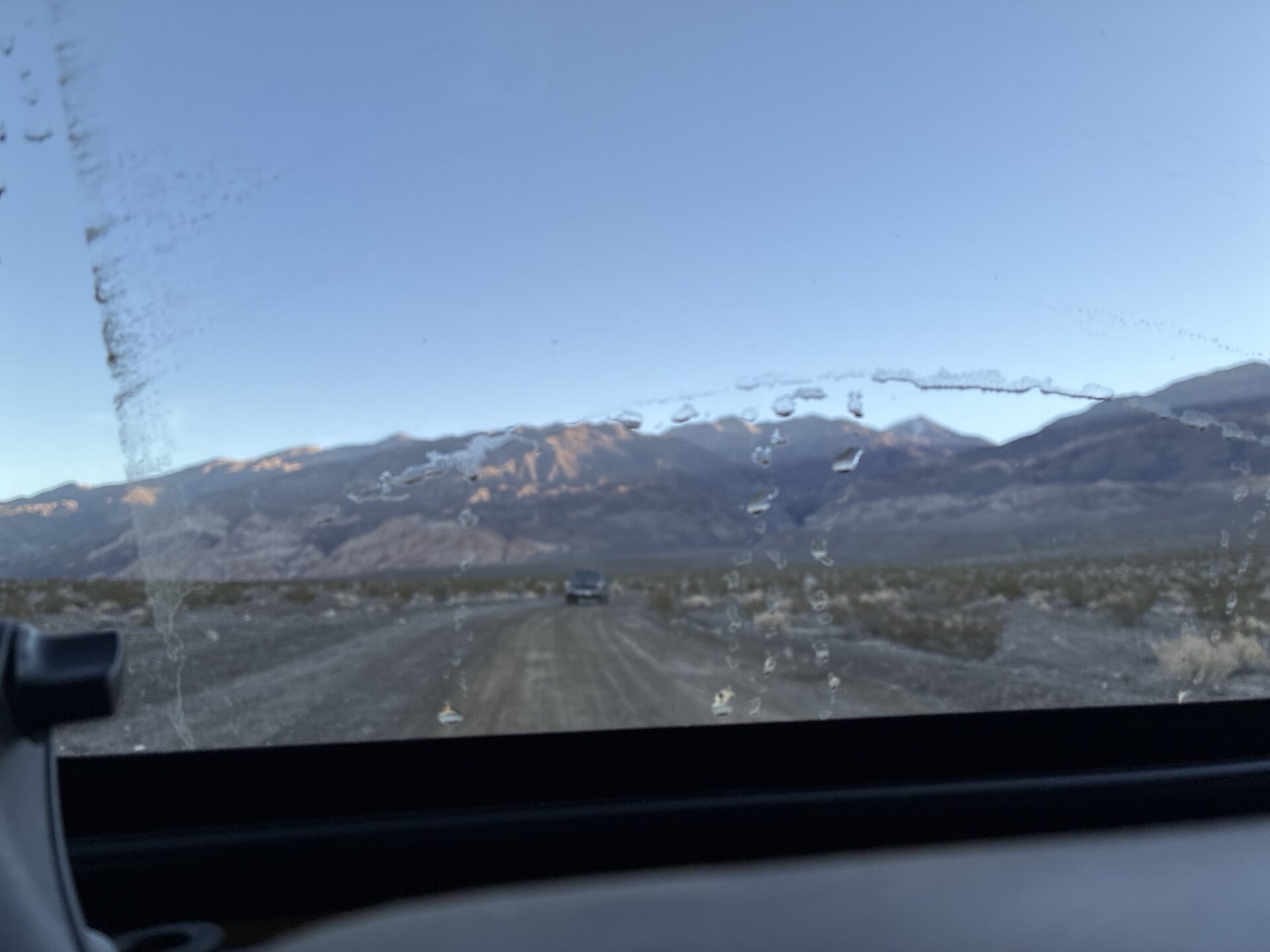
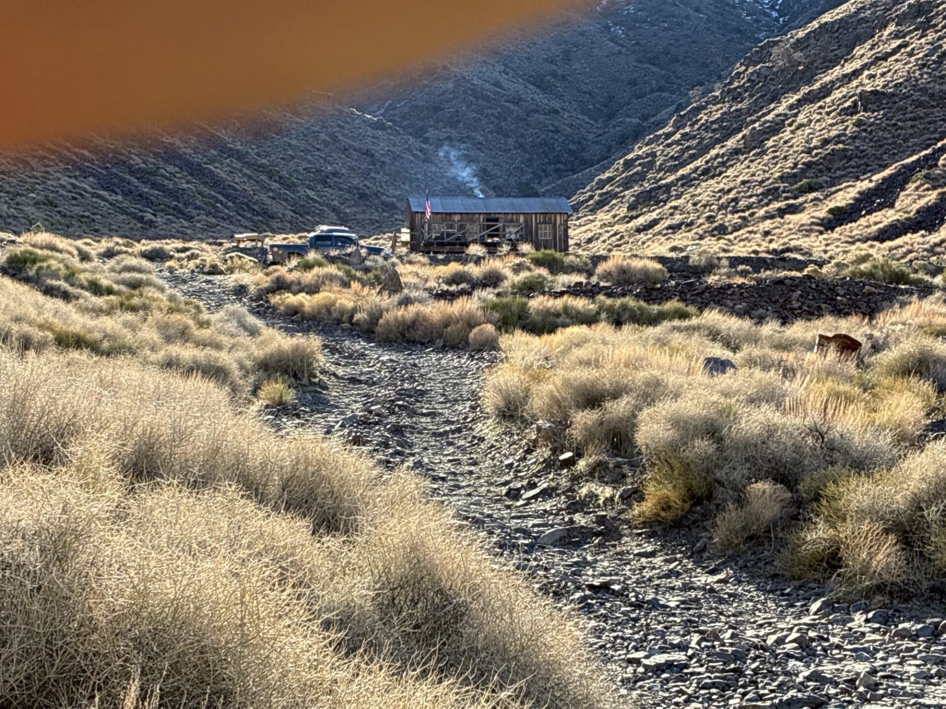
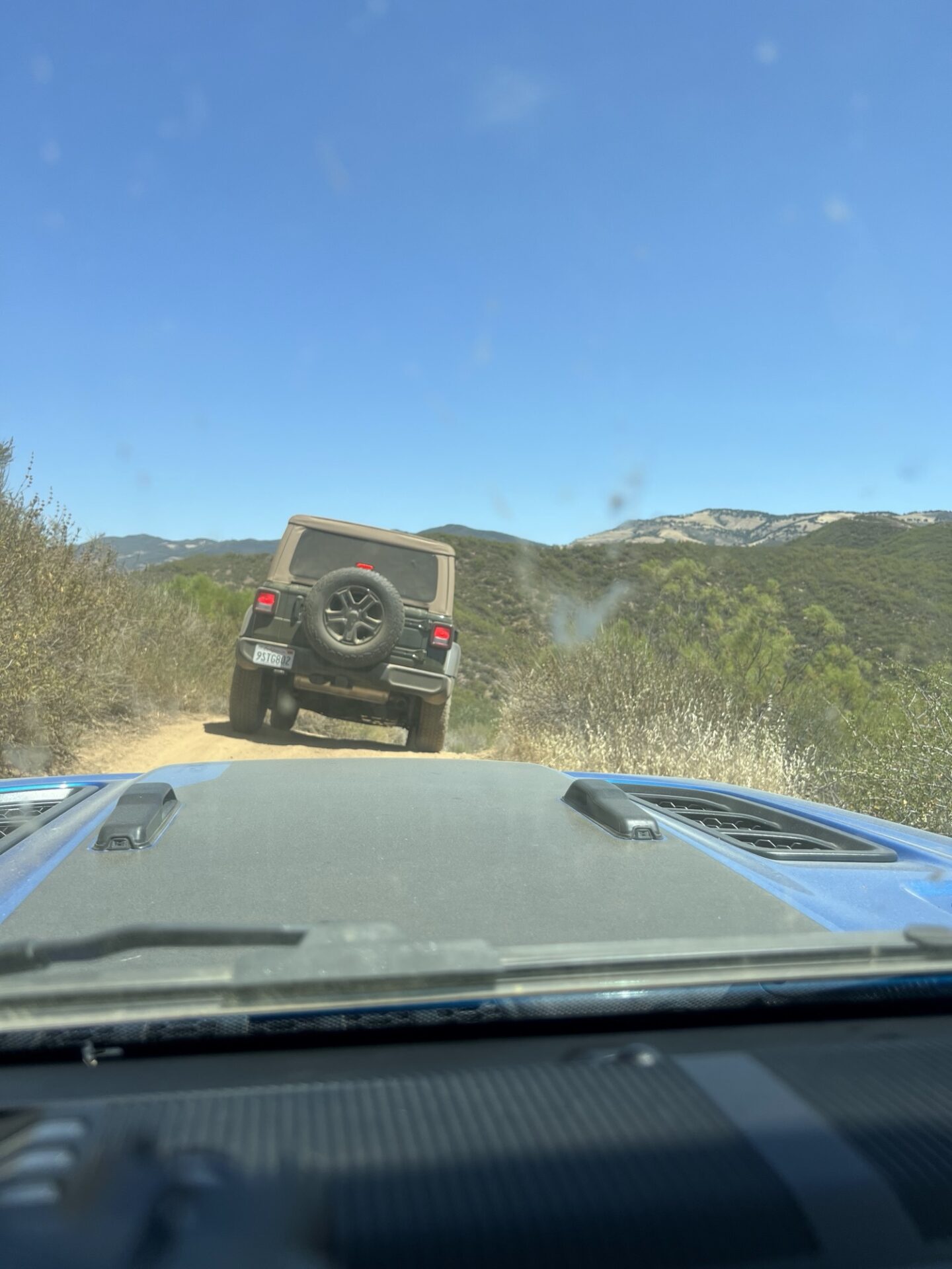
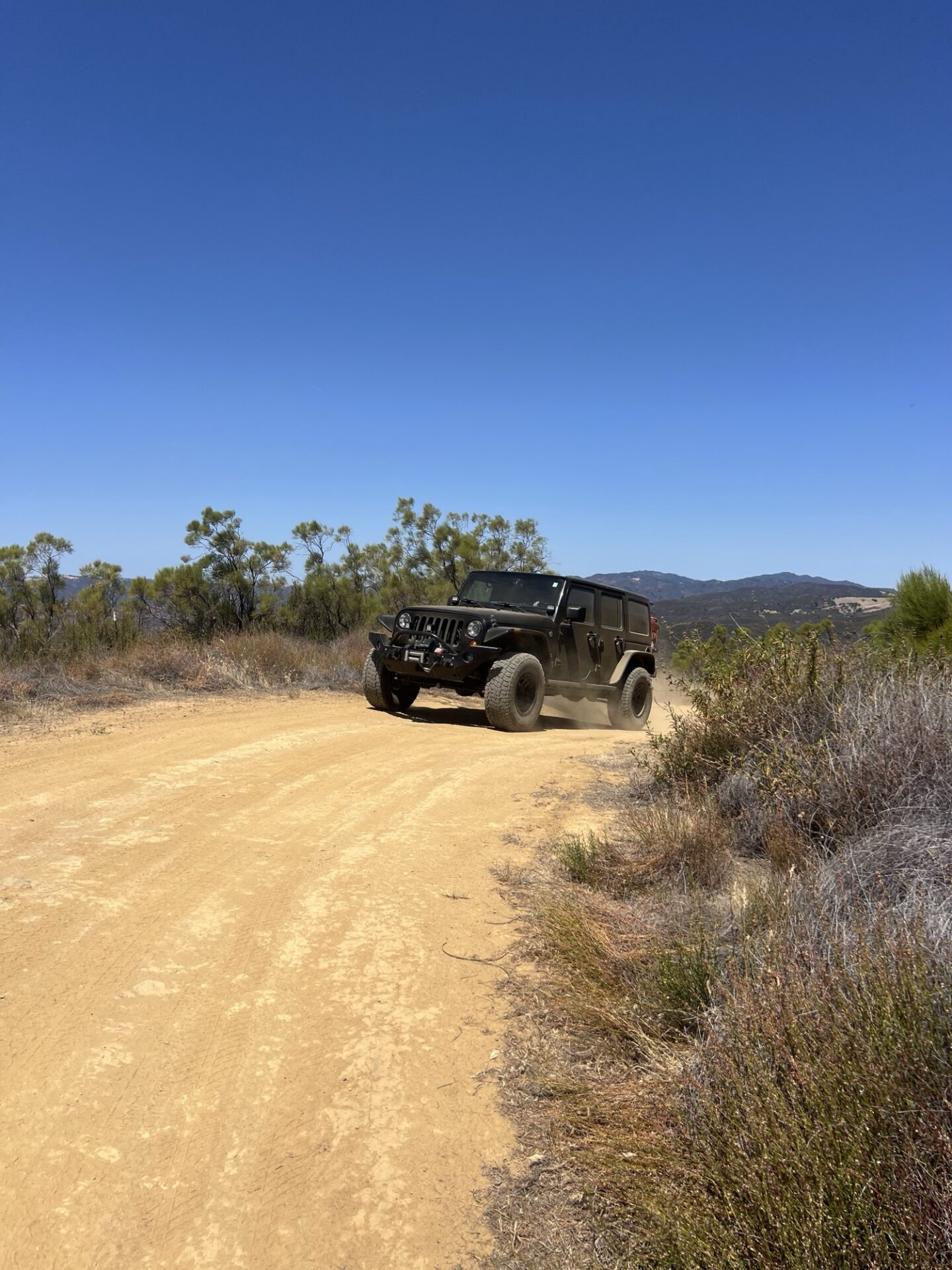
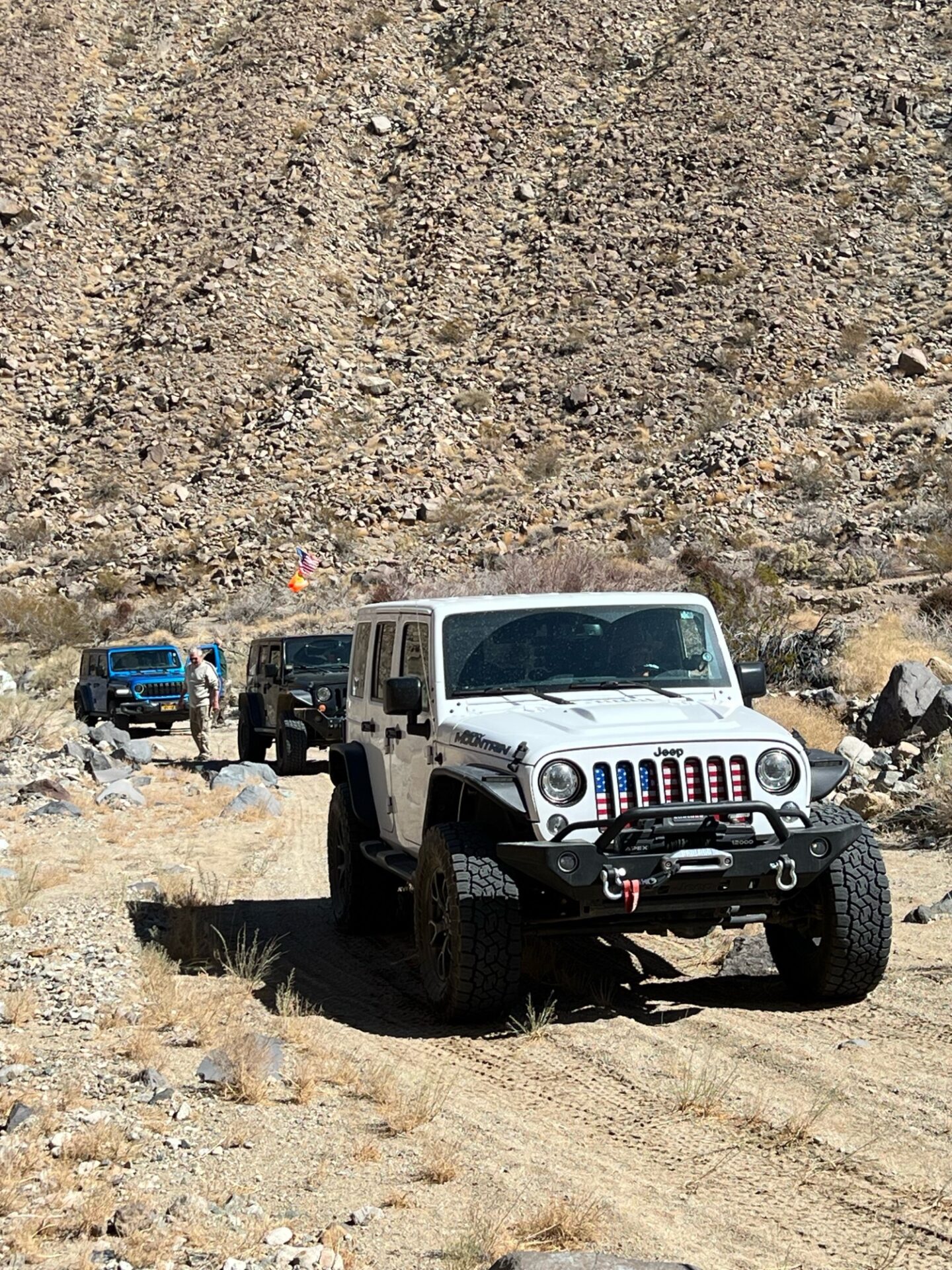
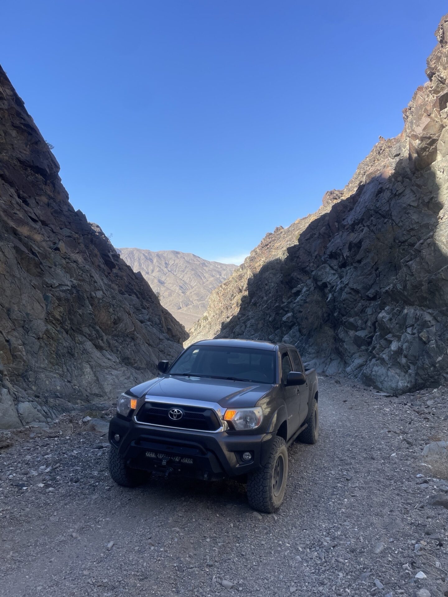
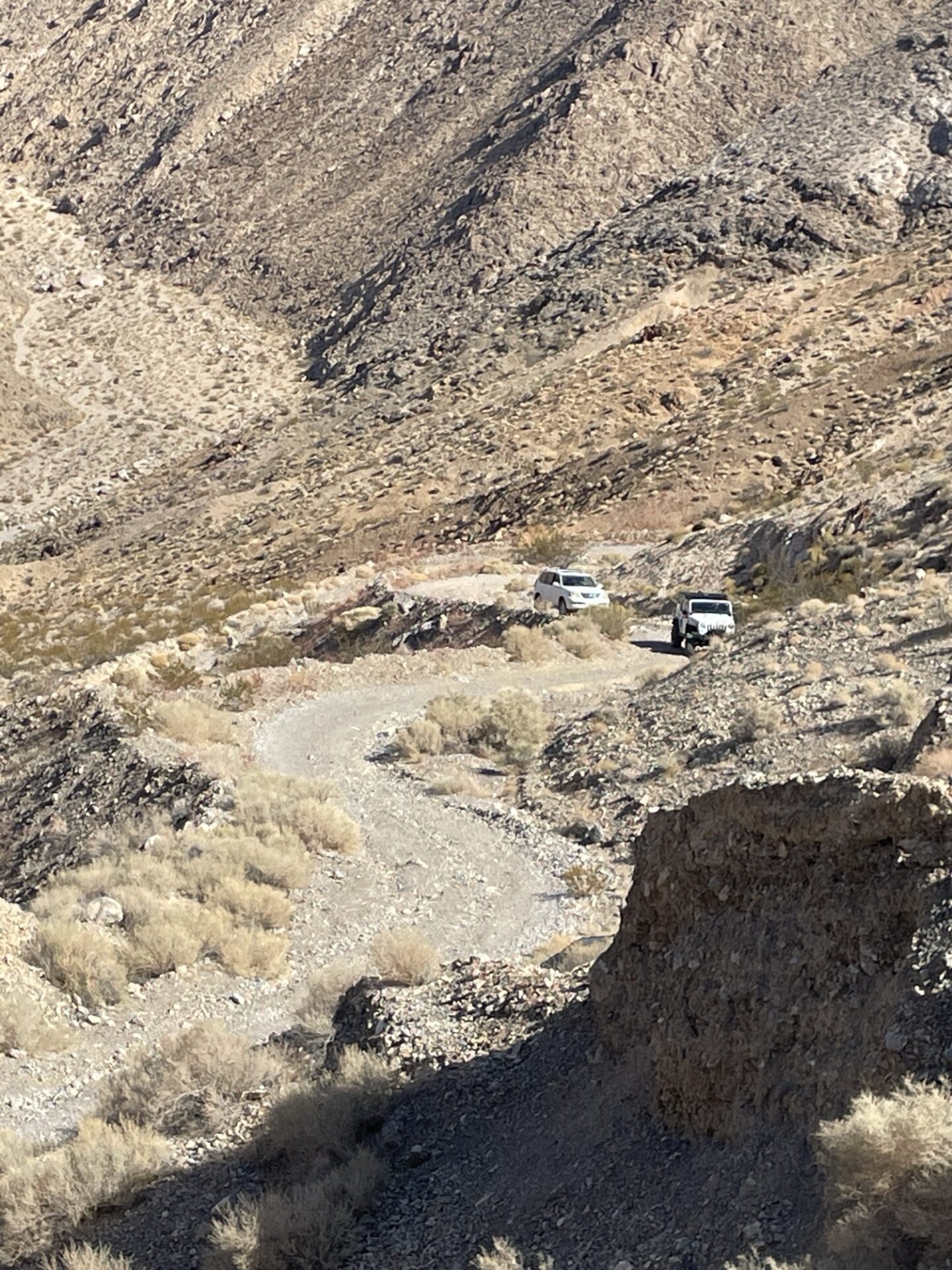
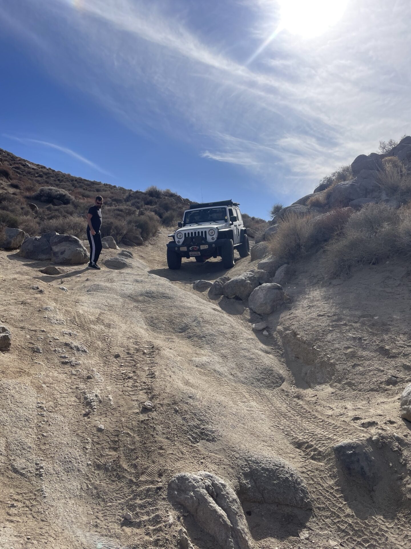
We woke early the next day and headed up beautiful Pleasant Canyon, stopping to check out various mining operations artifacts.
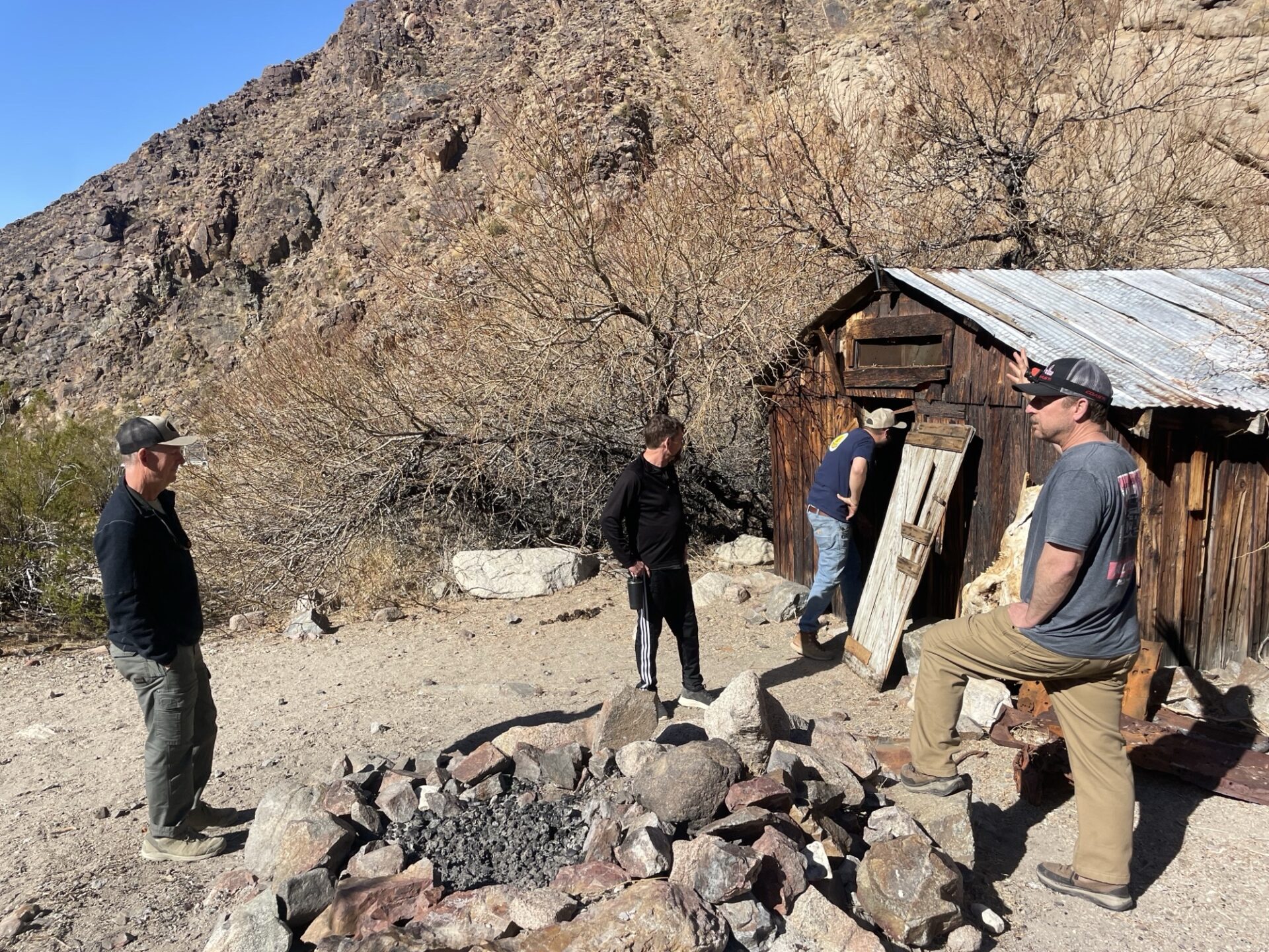
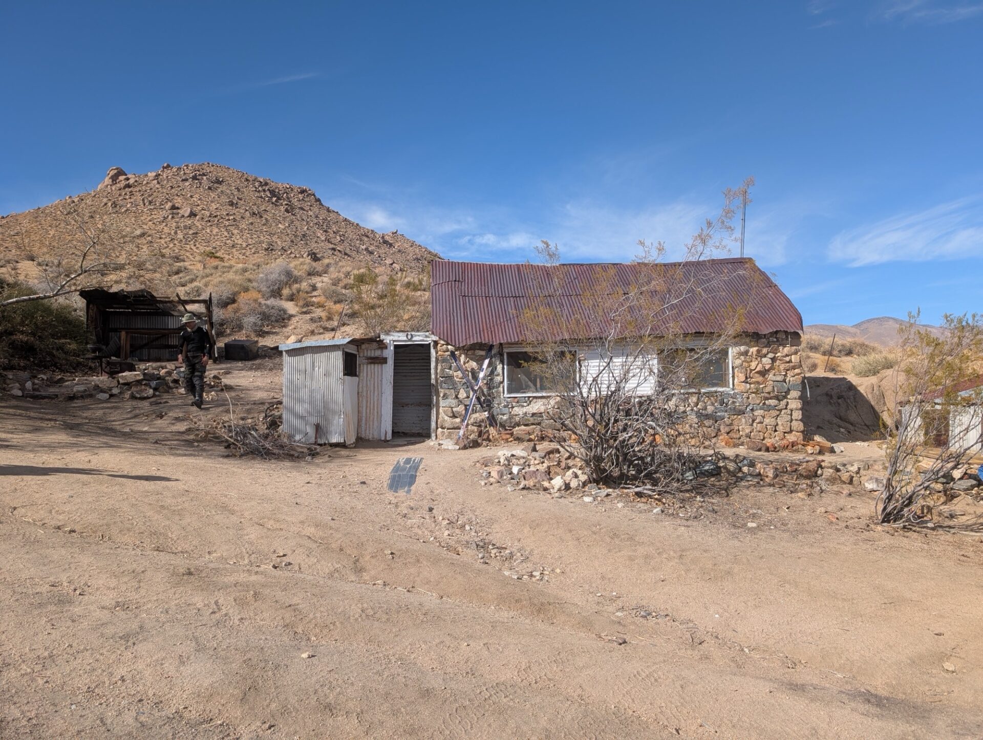
World Beater cabin was occupied, the current tenants enjoying a fire in the crisp Fall morning. They were the only people we saw all day.
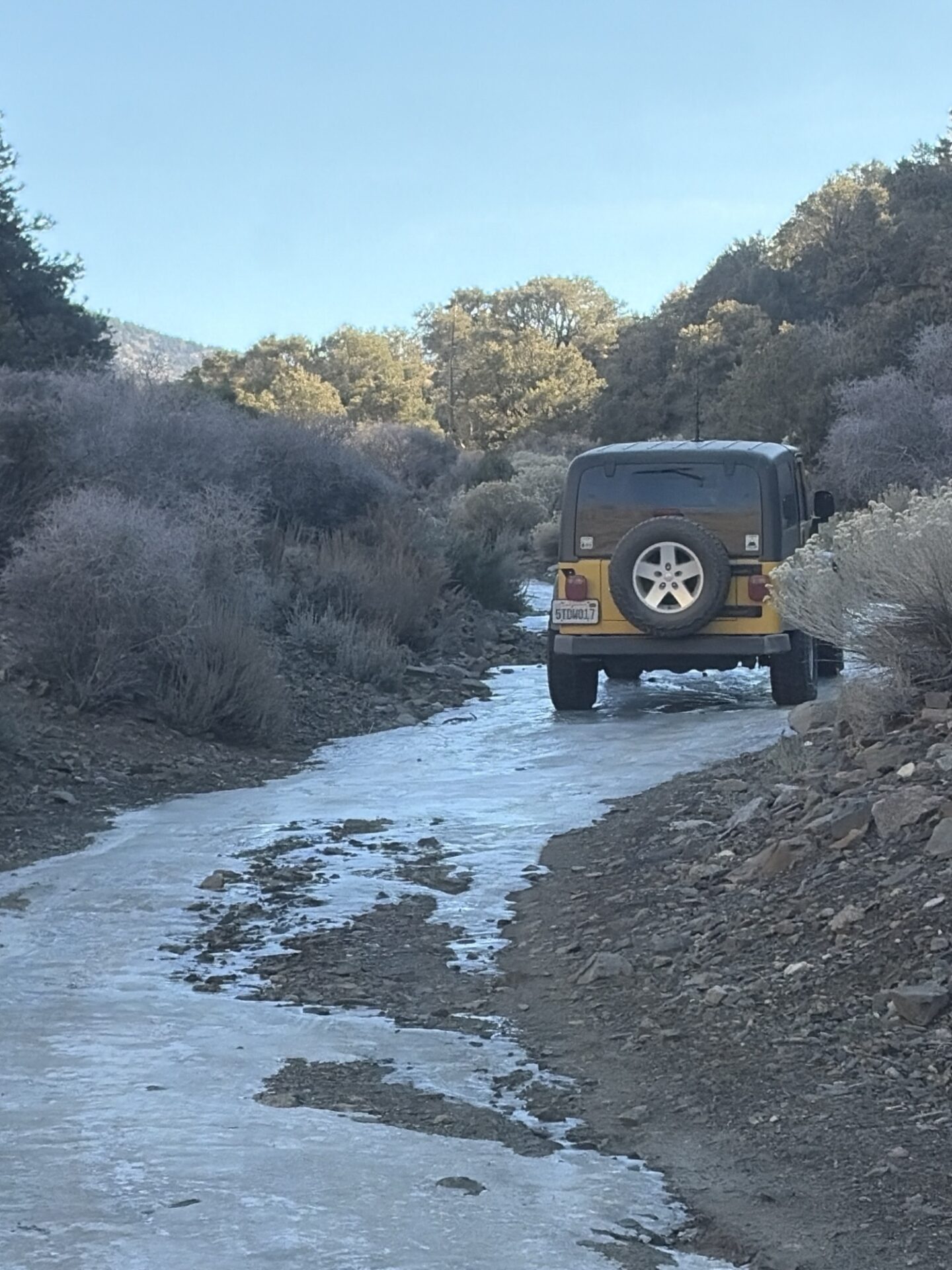
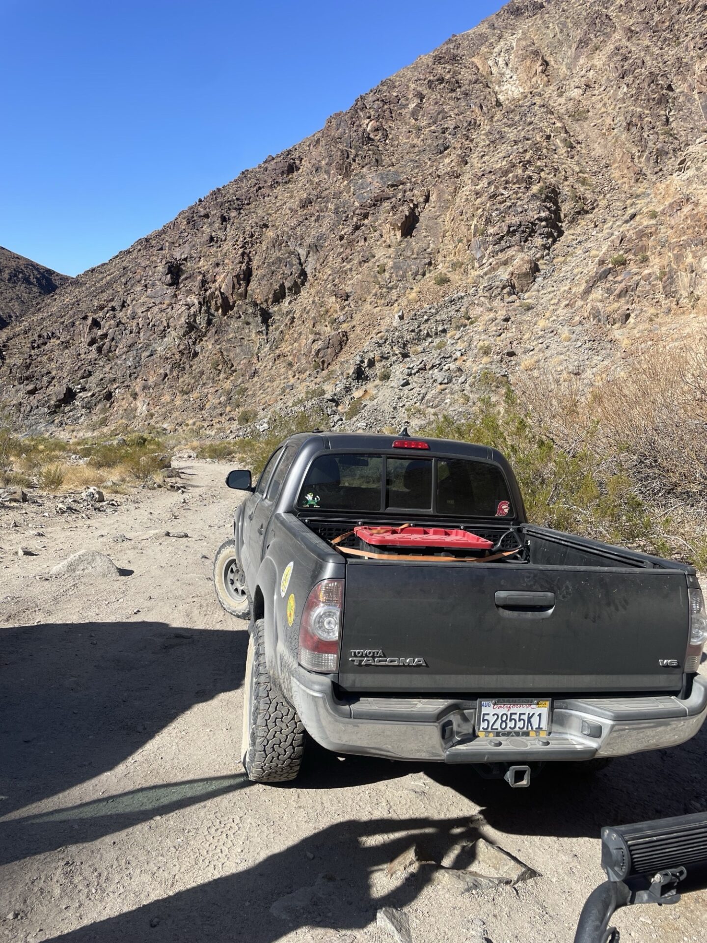
On the way up we checked out a couple lightly used side roads to old mines, seeing how far we could make it. Some were still snowy, and we were the first tracks since the recent storm.
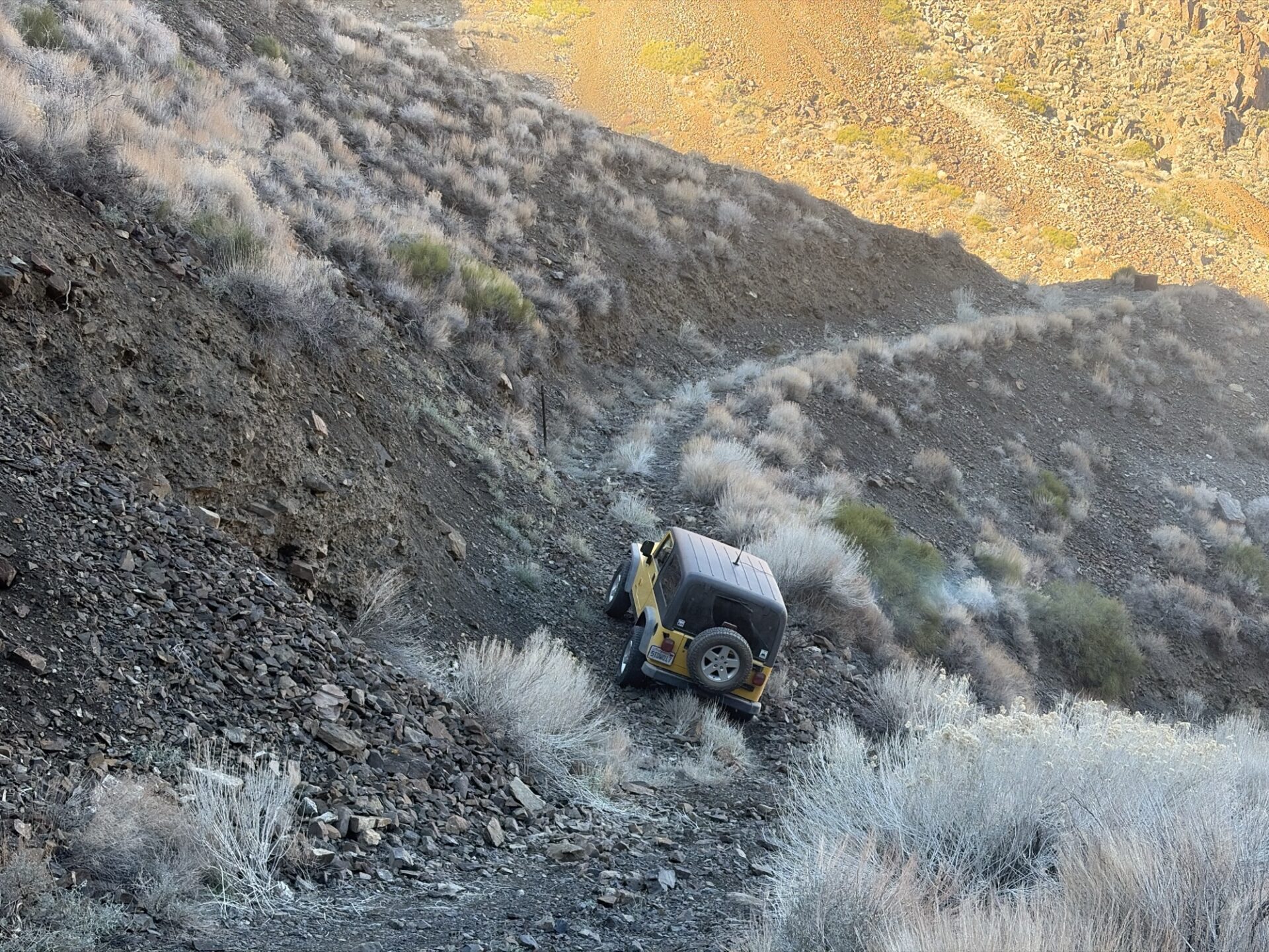
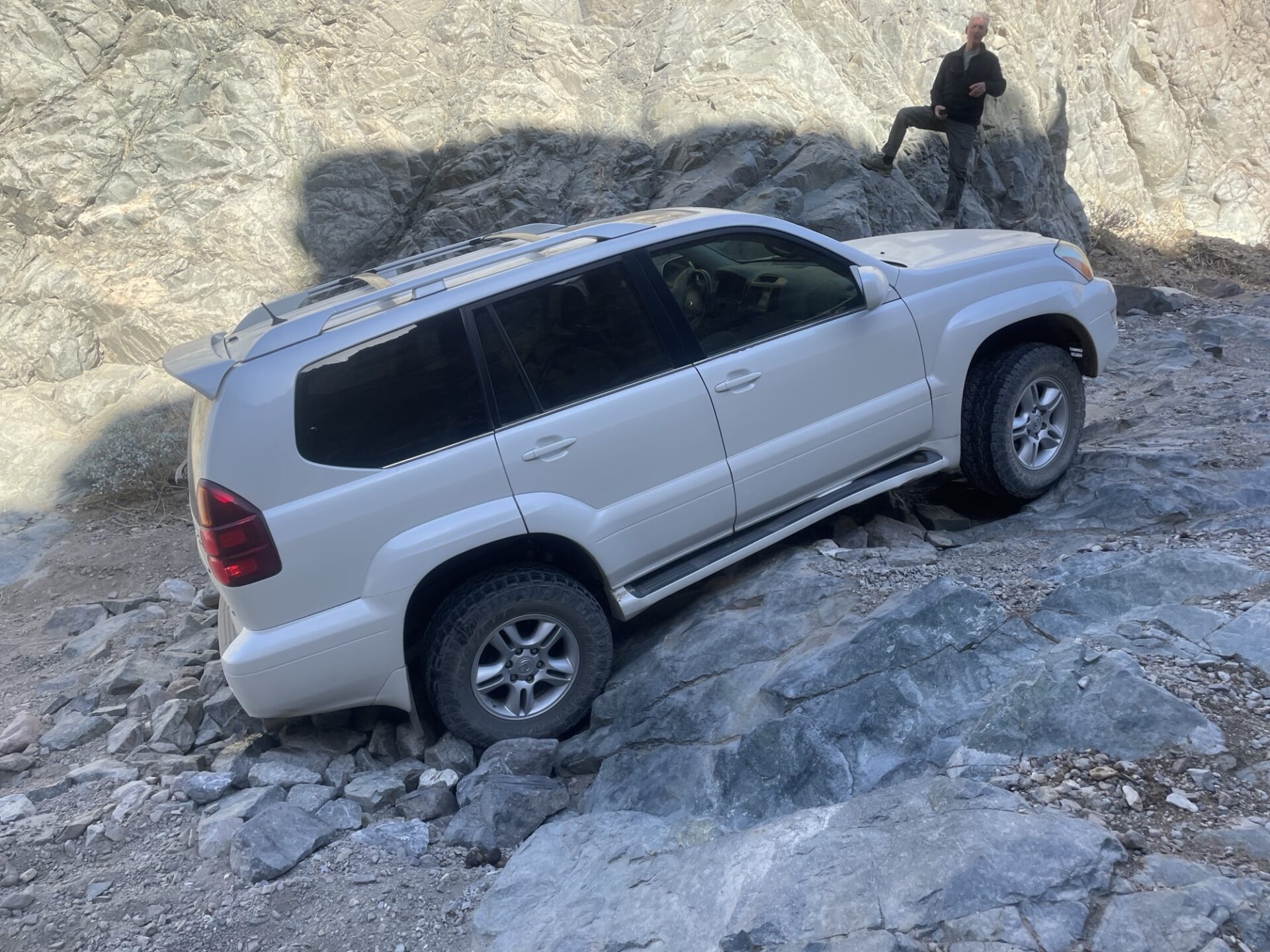
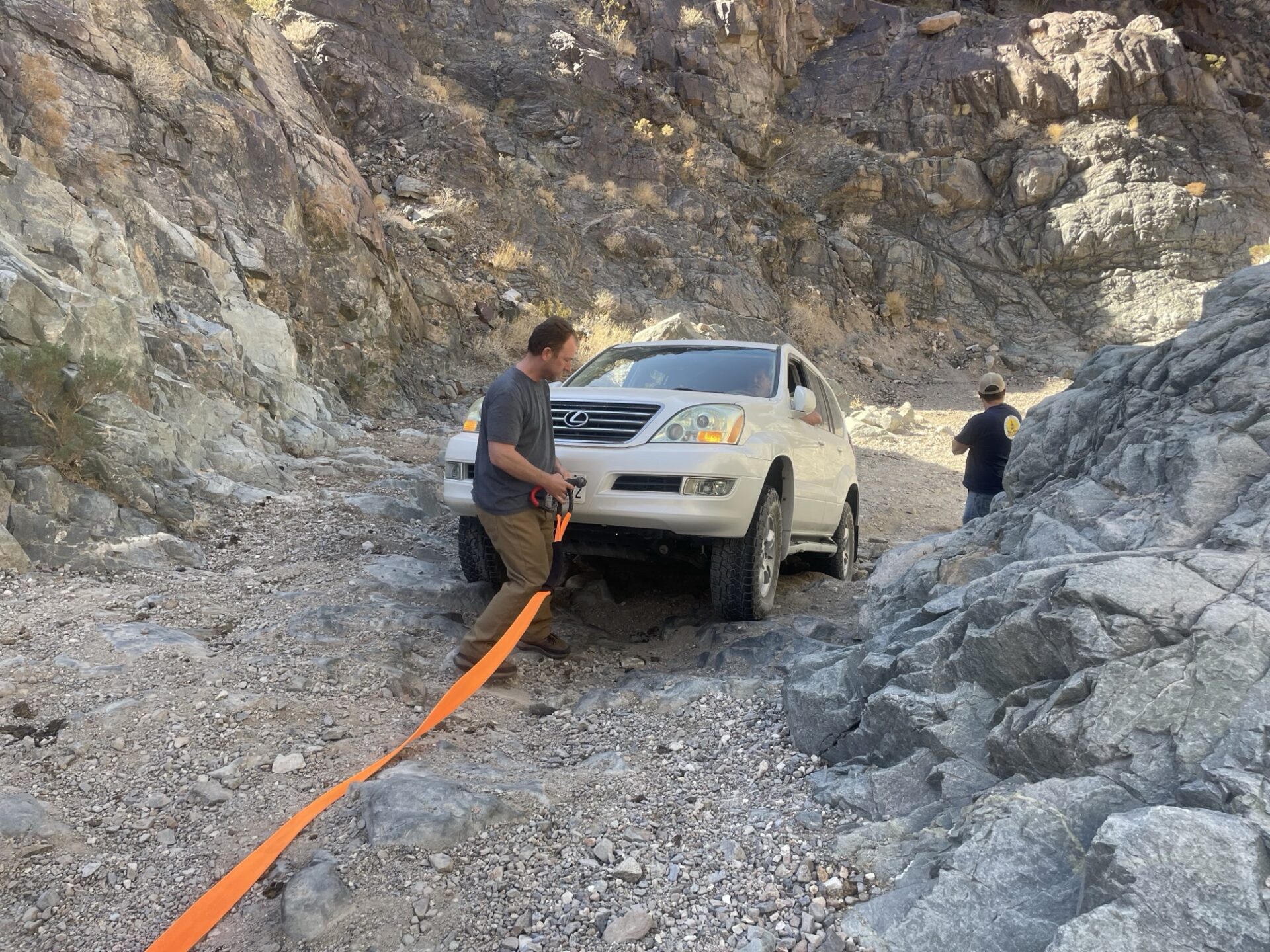
We tried to make it to World Beater Mine, but the road was blown out requiring a careful reverse down a steep rocky shelf road. The road to Radcliff, an active mining operation, was closed.
The road to Cooper Mine (or Copper Mine, depending upon which book you are reading) ended with a snowed-in dead end, requiring careful retreat in reverse to get to a turnaround spot.
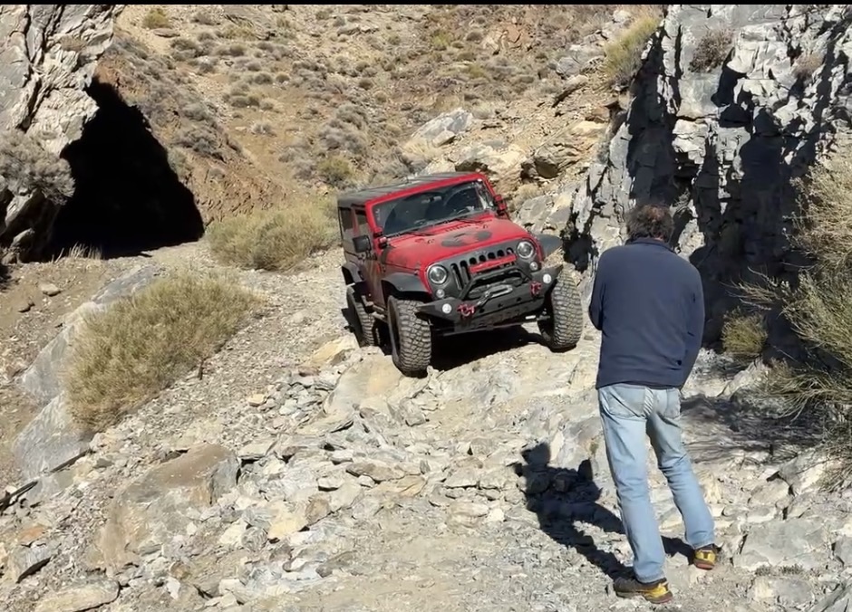
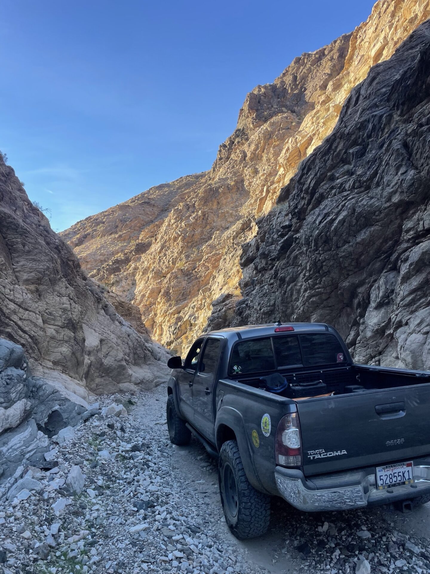
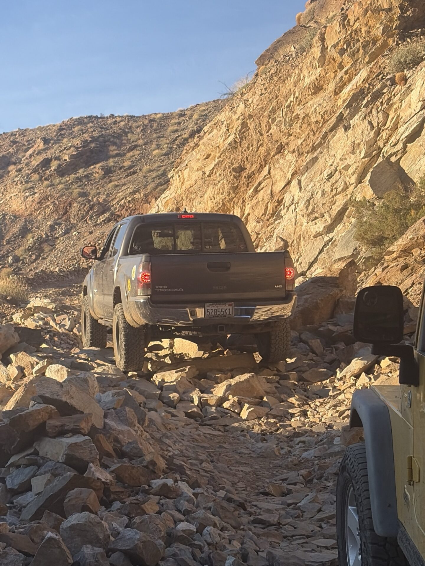
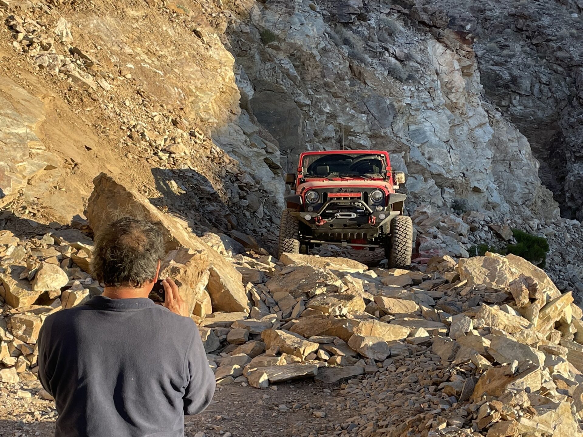
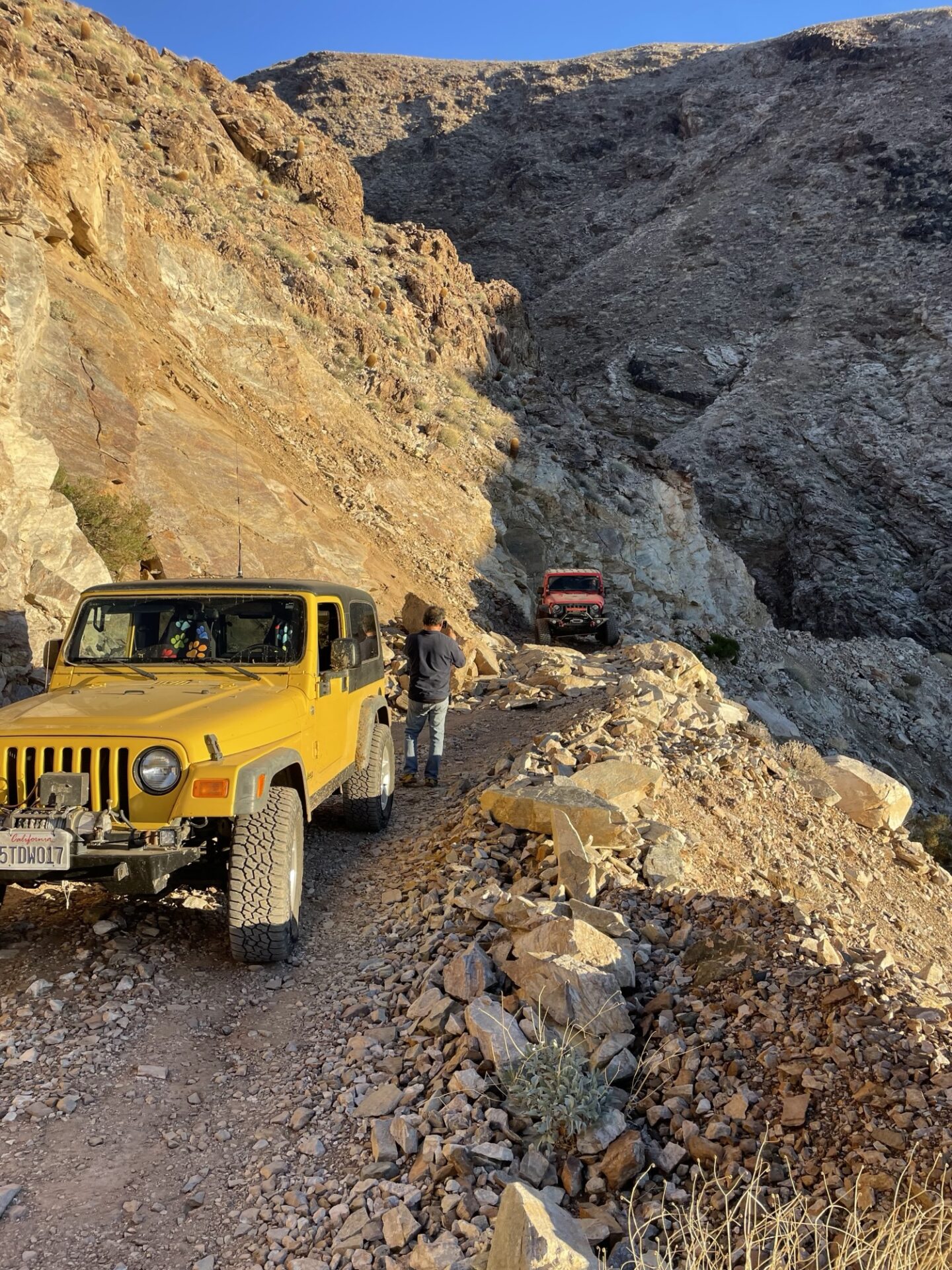
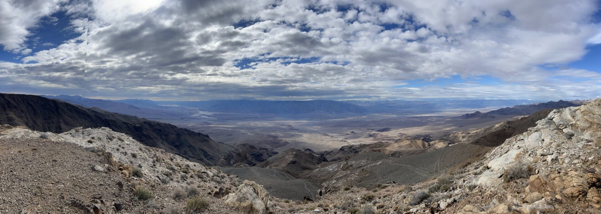
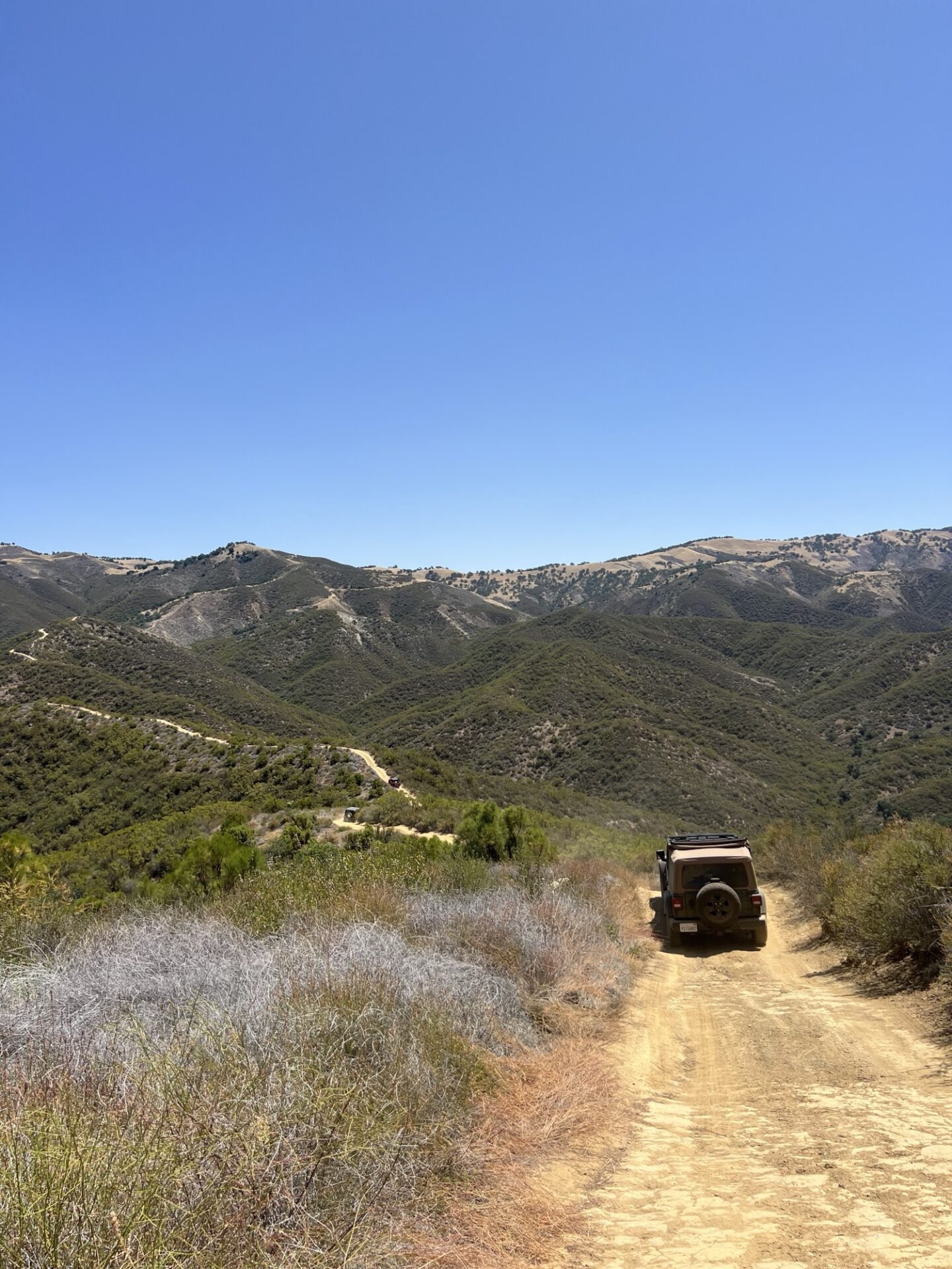
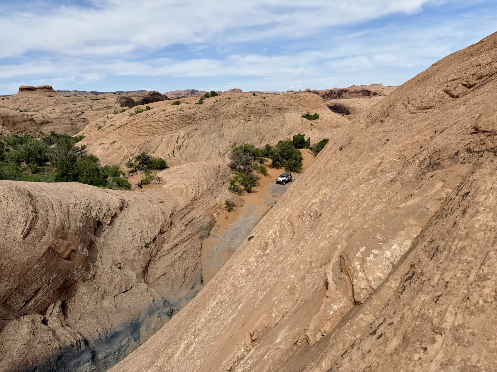
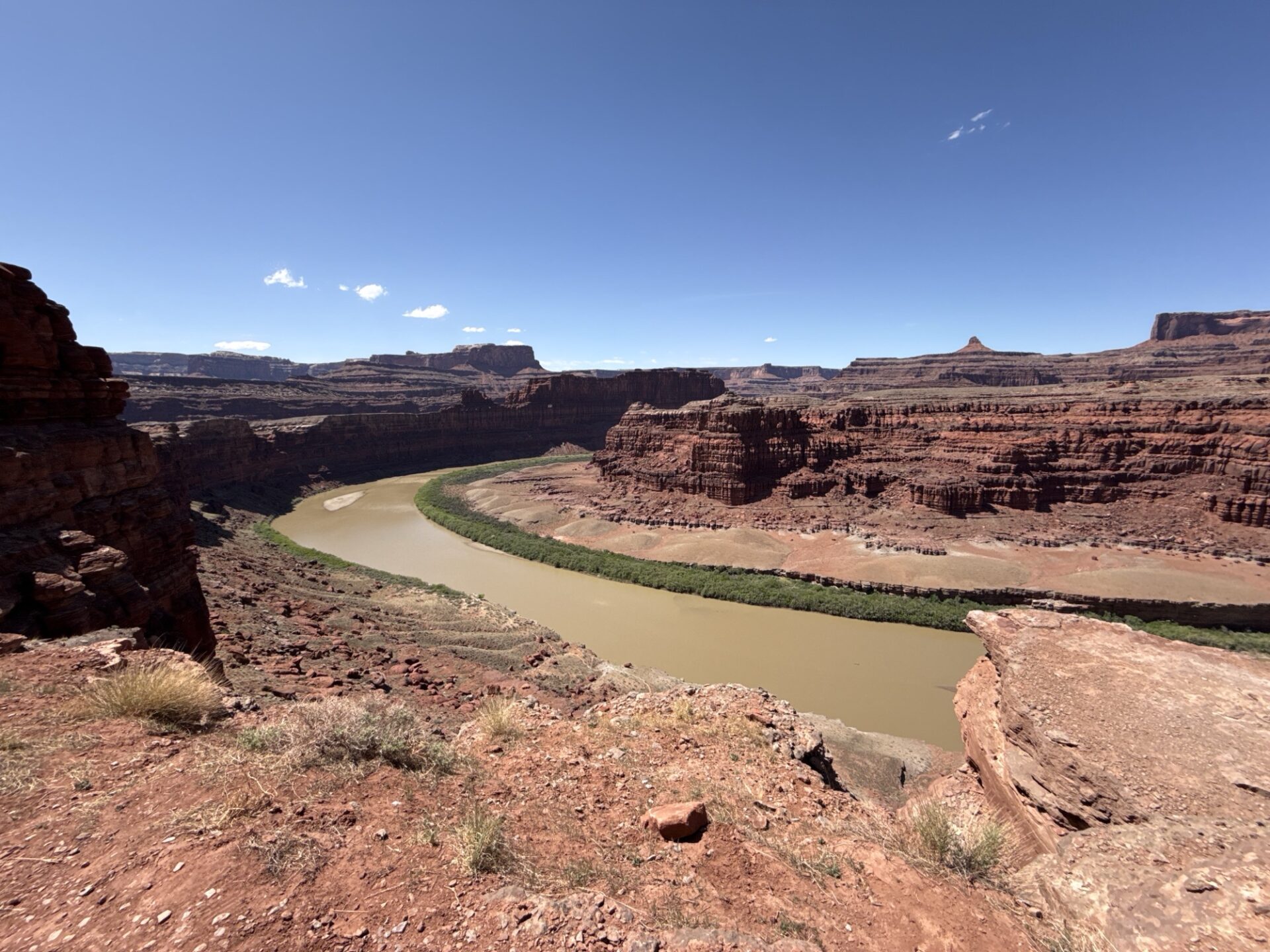
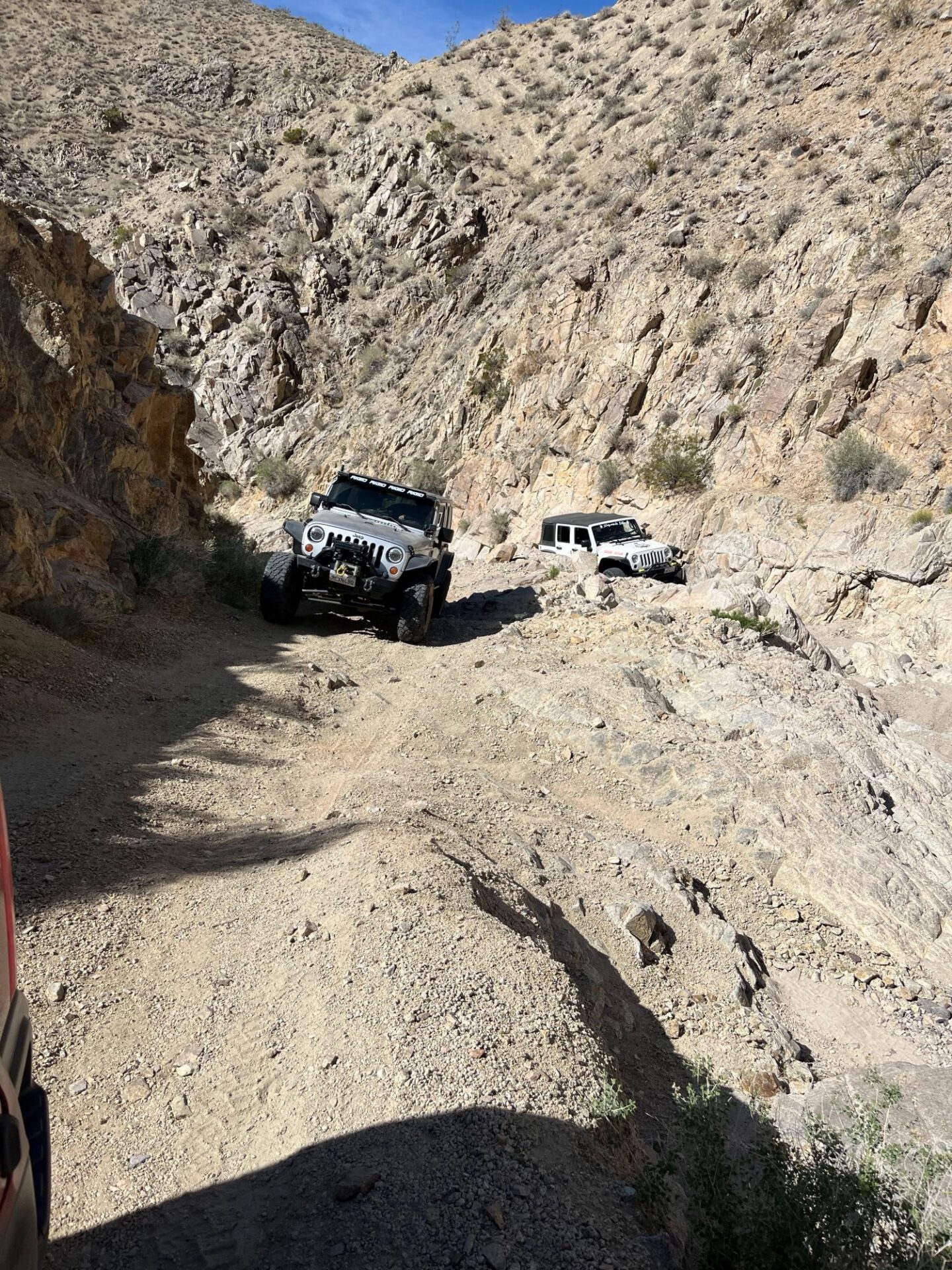
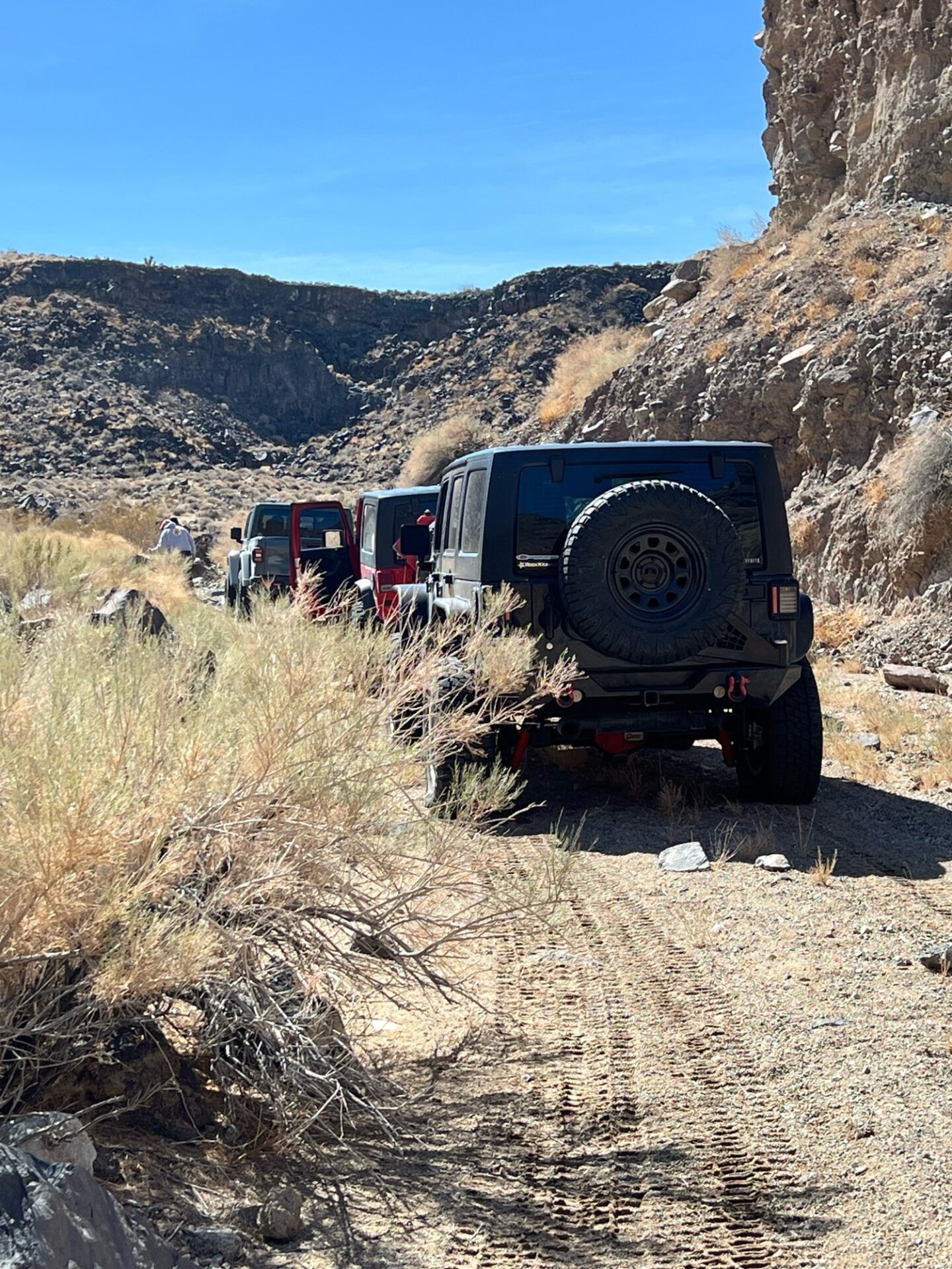
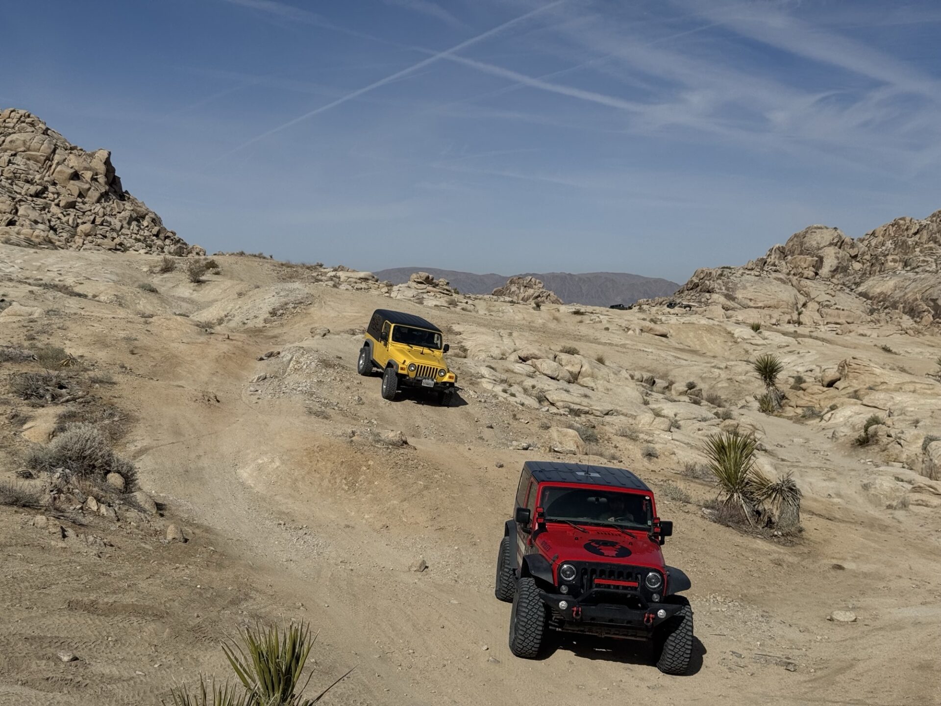
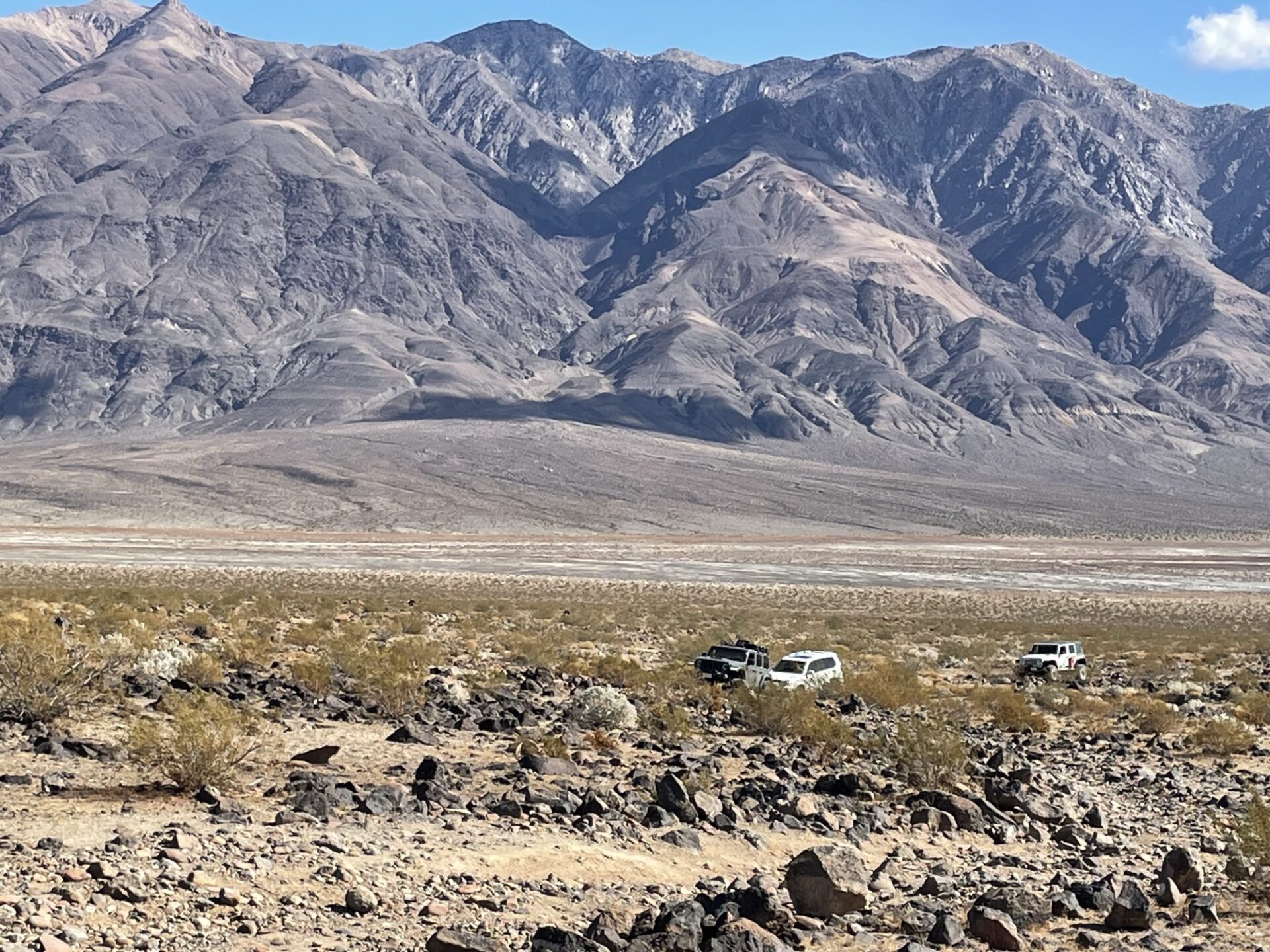
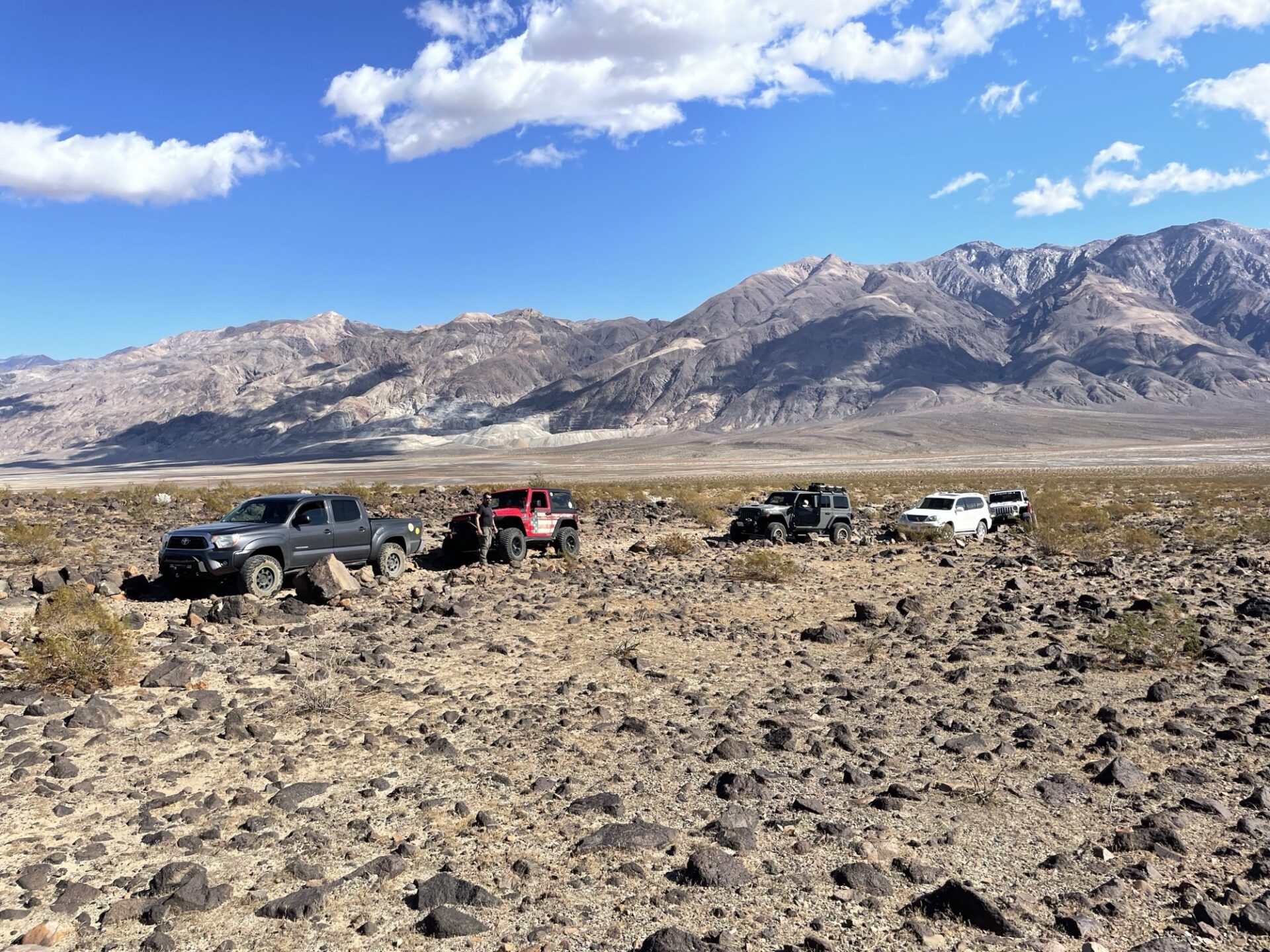
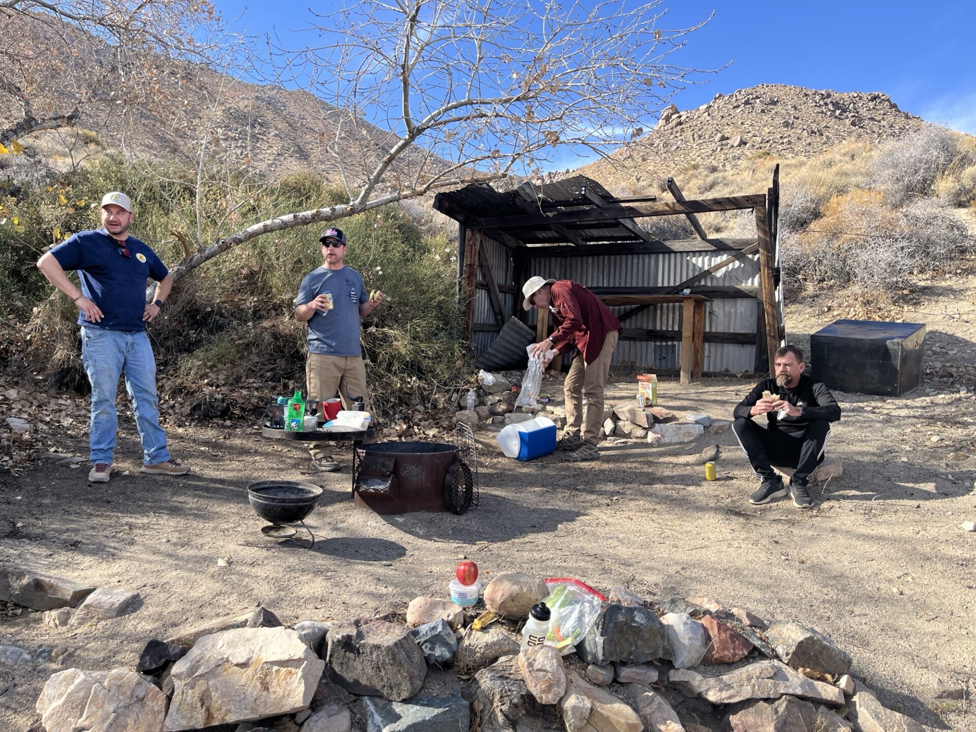
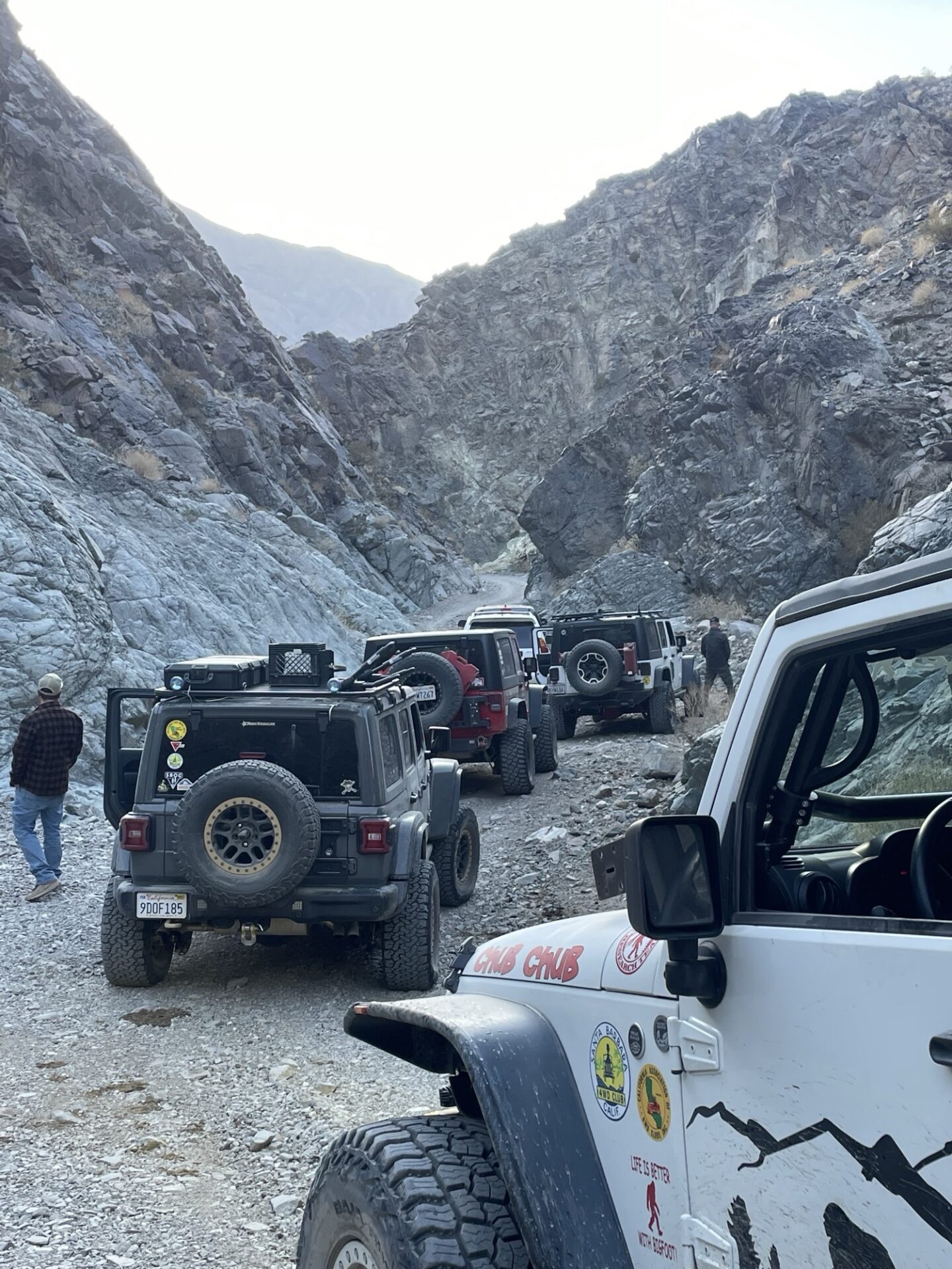
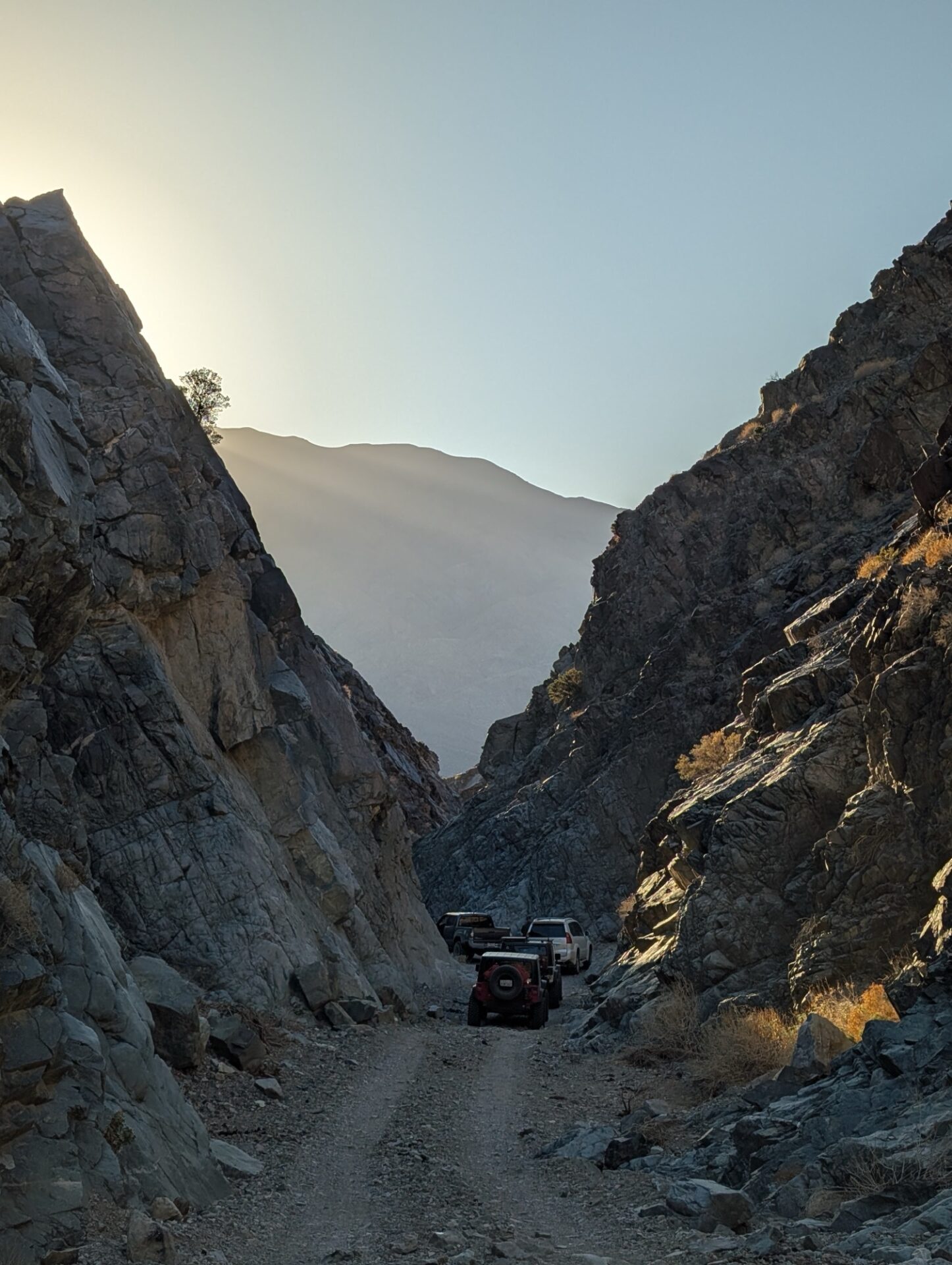
The group stopped for lunch near Rita’s Cabin and then continued on through Middle Park Canyon, looking down towards Death Valley and Striped Butte, which we saw in February from Geologists’ Cabin. We took the lower and more direct south-facing routes to stay out of the snow and get to South Park Canyon, wanting to be sure we had enough daylight to get past Chicken Rock and a recent landslide over the trail before dark.
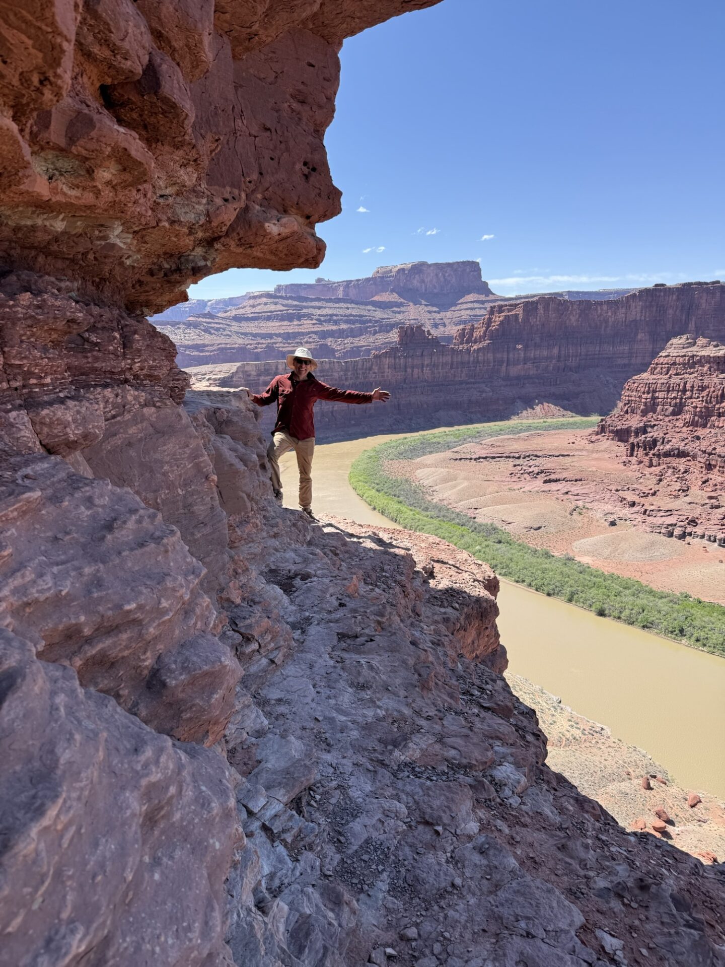
Chicken Rock is scary, as advertised. Members check out the photo album for some videos, including Danny’s from inside the vehicle.
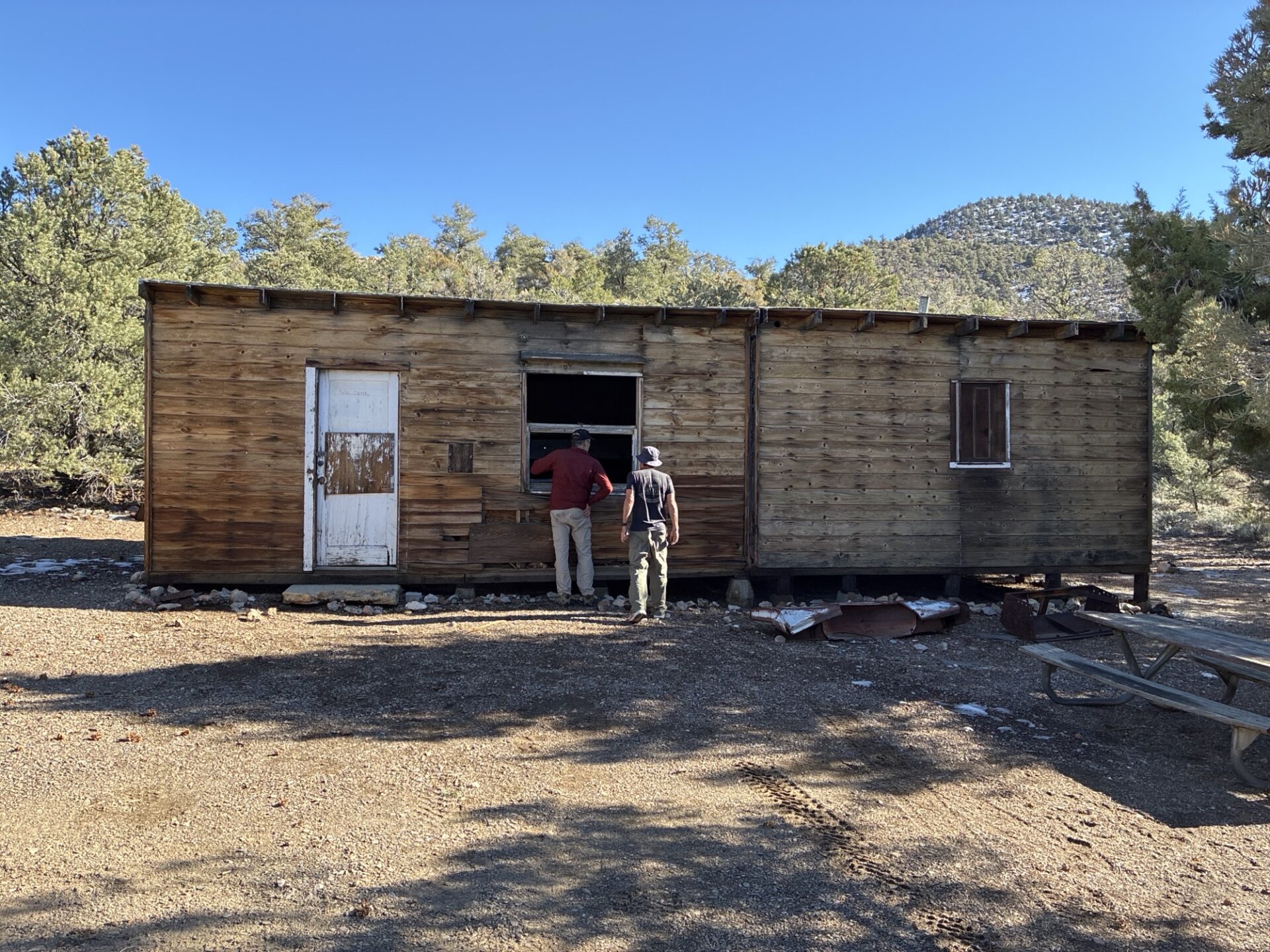
Briggs Camp was unoccupied, and it is in amazing condition, the Friends of Briggs do a great job.
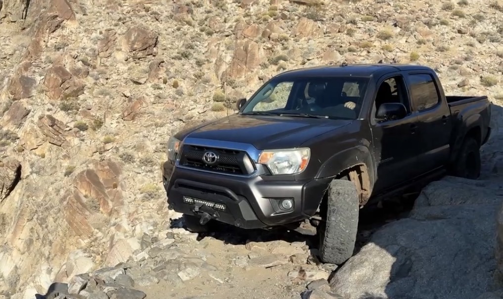
We made it to the landslide, which had been cleared enough to get through with some spotting. Which was a good thing as the sun was getting low and it had taken us all day to get there.
We returned to camp and had another great night sitting by the fire with no wind.
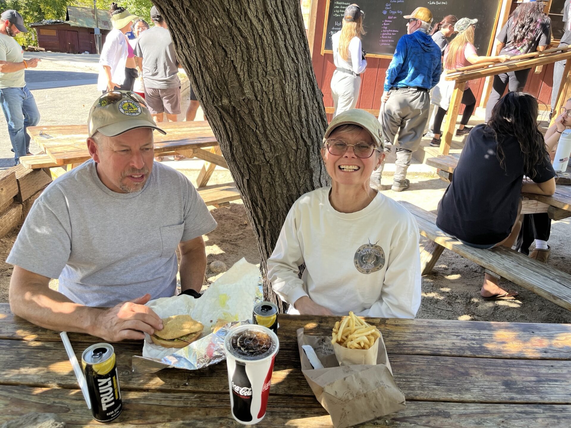
The next day we spent hiking, exploring nearby canyons. We refueled in Panamint Springs, and treated ourselves to some delicious burgers at Panamint Springs Resort.
We drove back to camp in the dark, and enjoyed our third and final gorgeous windless night by the fire.
The next day we had a leisurely morning packing up and headed home, stopping at the Pinnacles for lunch.
Participants: Danny and Myla Kato, Brad Burk, Bobbie Okamoto-Subject, George and Pam Tinker, Steve Smith
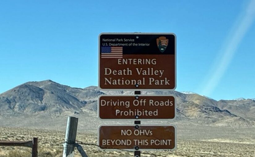
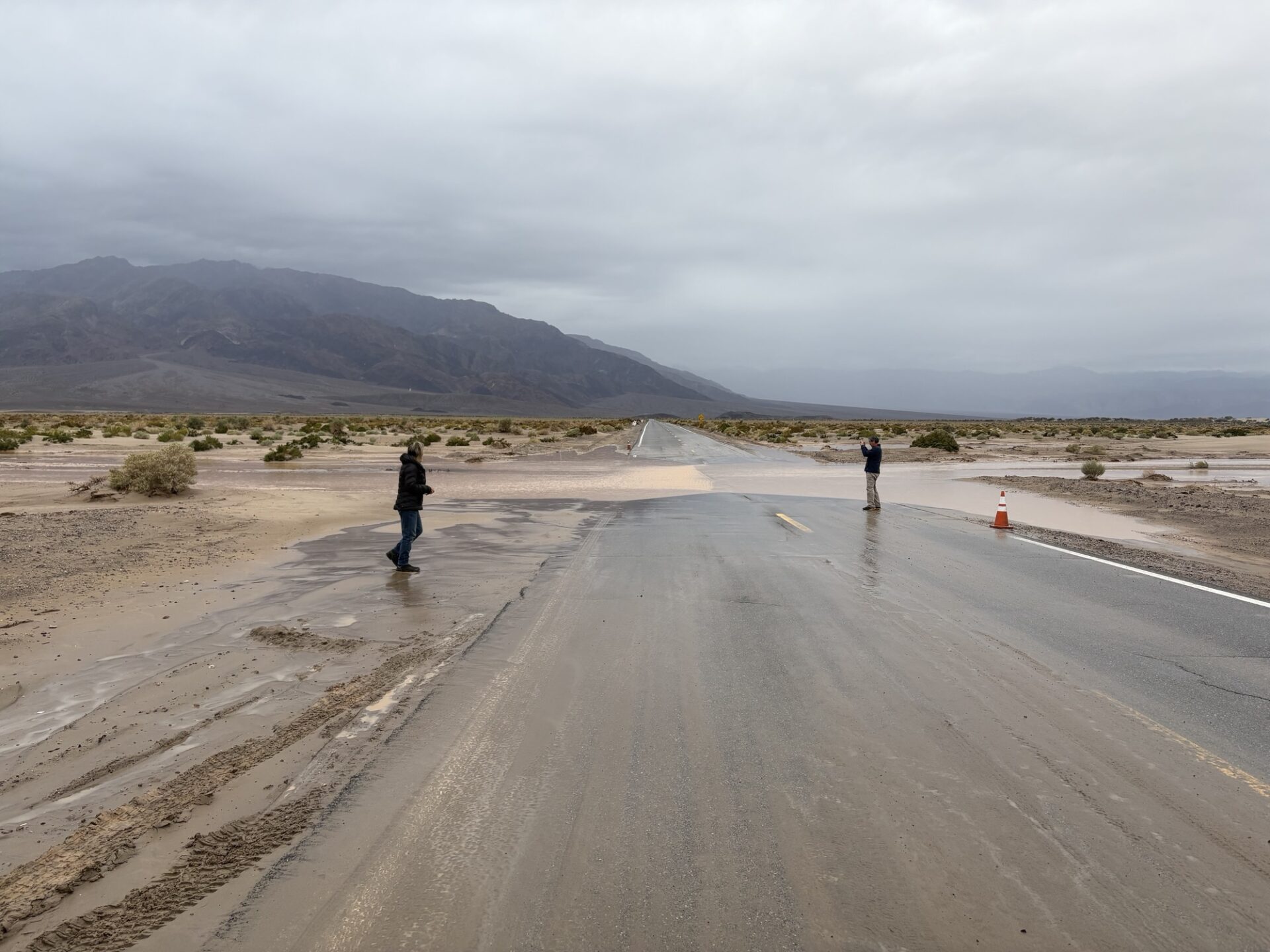
All except Steve arrived at the Stovepipe Wells Campground around 2:30pm. All were in front of the rainstorm that hit Santa Barbara. Since it had been raining for 8-10 days already, the ground was fairly wet, and muddy in parts.
Everyone got set up when the showers started. Not too much, but enough to be a nuisance. Several of us went across the street to have drinks and dinner at the Stovepipe Wells Hotel restaurant and bar.
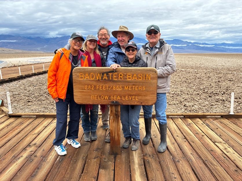
The next morning (Friday) it was still drizzling, so it was a slow morning. We decided to stay on paved roads, and do some touristy things, so we went to the Furnace Creek Ranger Station, then drove to Badwater to see the lake that was there after the rains.
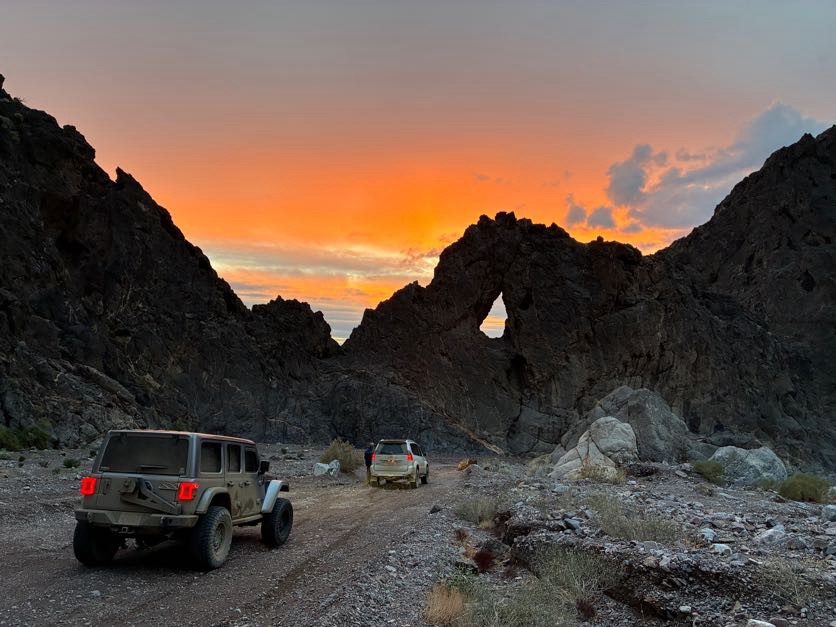
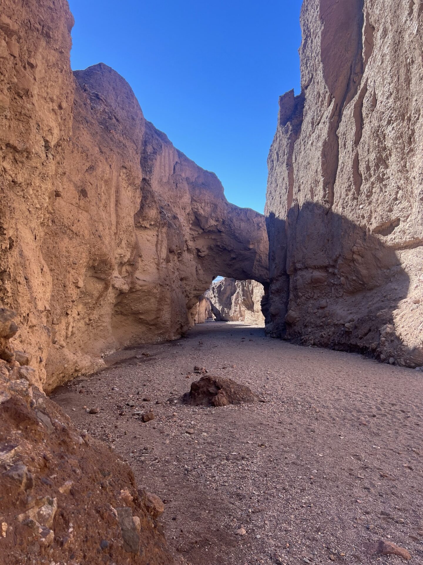
Steve arrived in camp around this time. Afterwards, we went to Zabriskie Point, and decided to try the Echo Canyon trail to see if it was driveable. It was, so we went to the Inyo Mine.
The road was in such good condition that most 2WD vehicles could have made it there. We stopped on the way back at the natural arch, and took a ton of pictures.
Very beautiful with the sunset coming through the arch. We drove home in the dark through lots of big mud puddles in the road. That night we had a big fire in camp.
Saturday morning was dry-ish, so we decided to go to Chloride Cliffs, where we had beautiful views of Death Valley, and most of us went up a steep-ish hill at the very end that only Dick did last year.
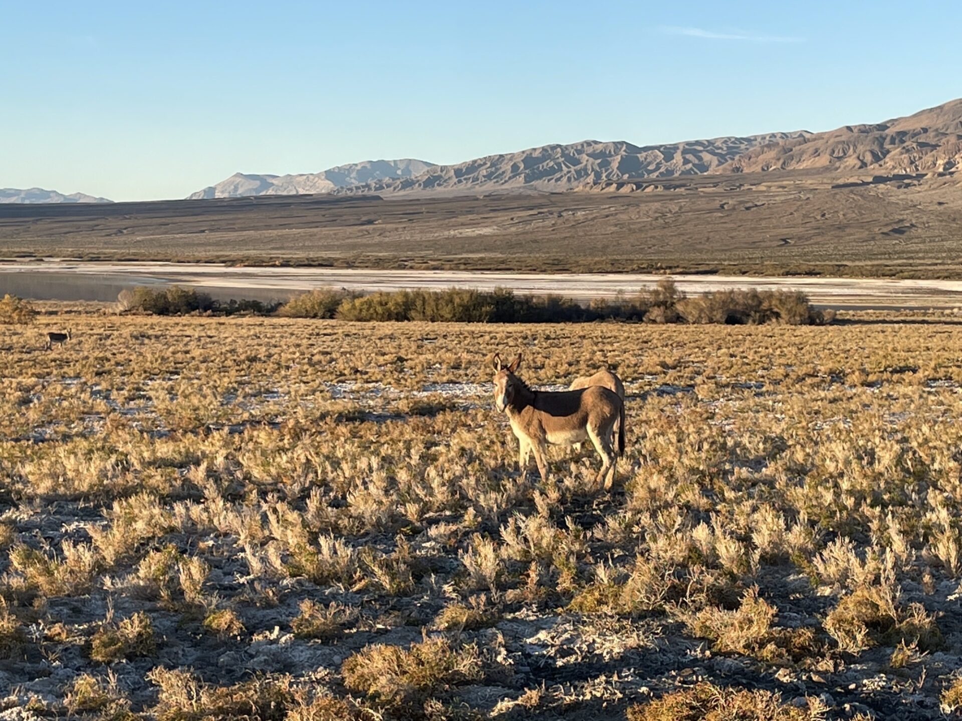
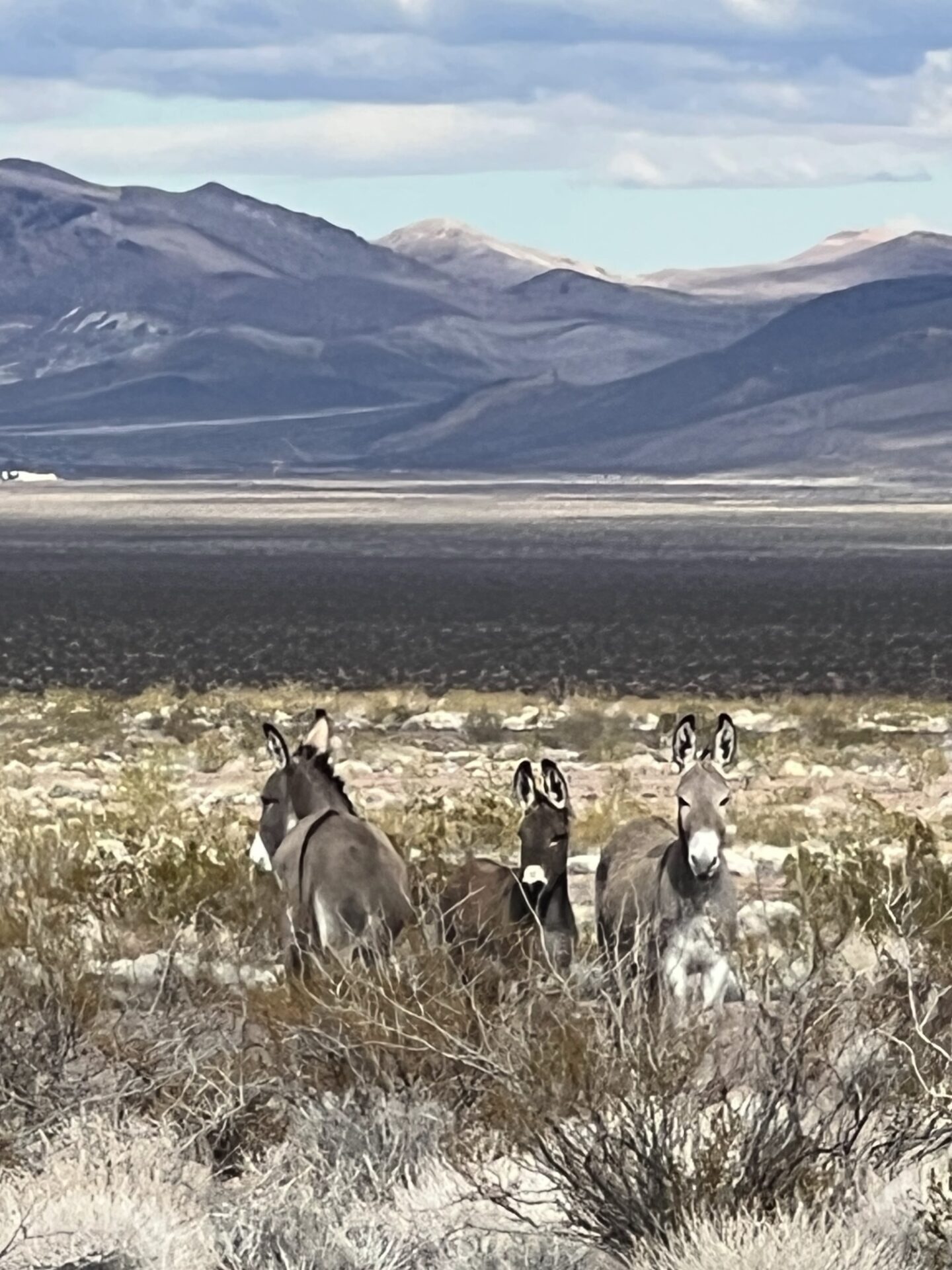
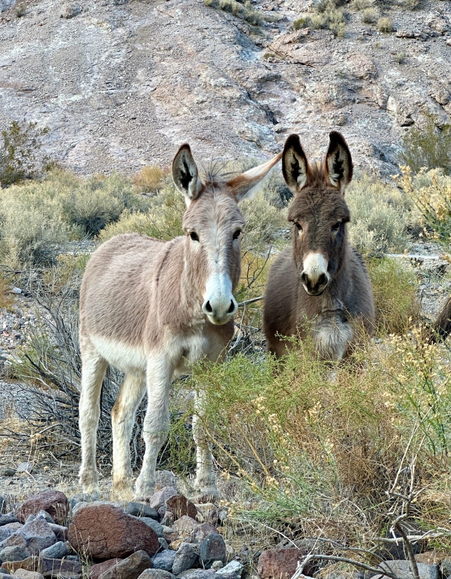
Then to Beatty via dirt roads that go down and across the Amargosa Valley (saw 3 burros).
One of the benefits of all of the rain is that there was absolutely no dust. Great for all followers. After lunch at a BBQ spot in Beatty, we took the old narrow-gauge railroad grade to the ghost town of Rhyolite, where we explored. As it was going to get dark soon, we drove home, and had another big fire.
Sunday morning, Bobbie and the Tinkers headed home, and Steve decided to do touristy things. He ended up doing a a little wheeling by himself: a portion of the Hole-in-the-Wall trail
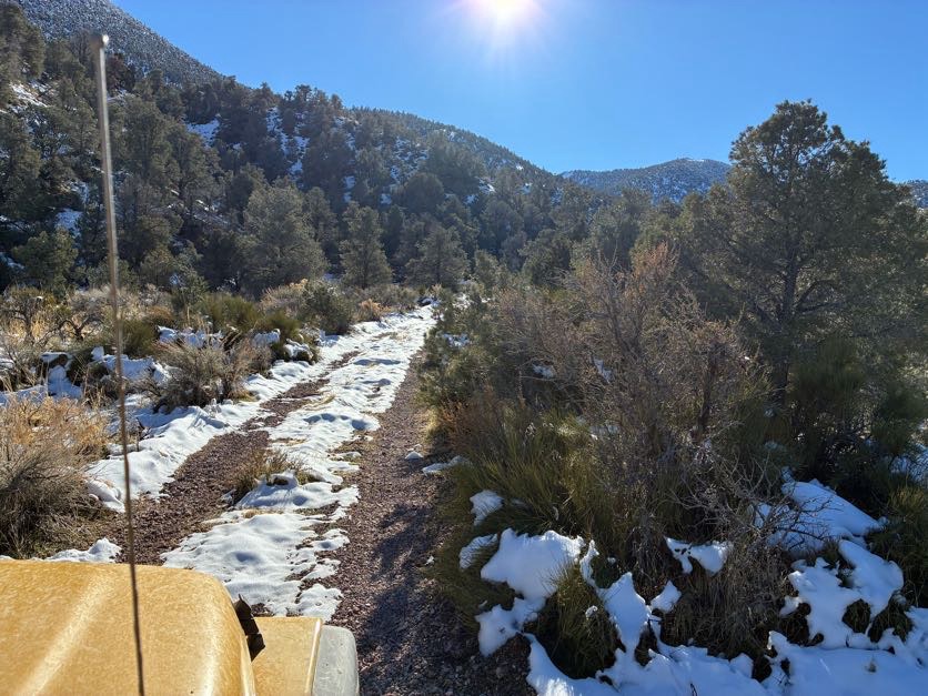
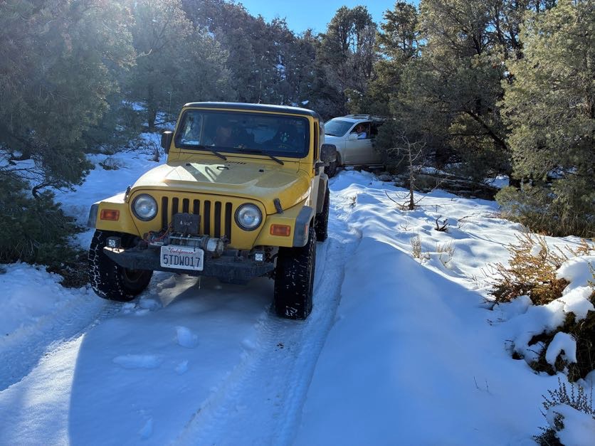
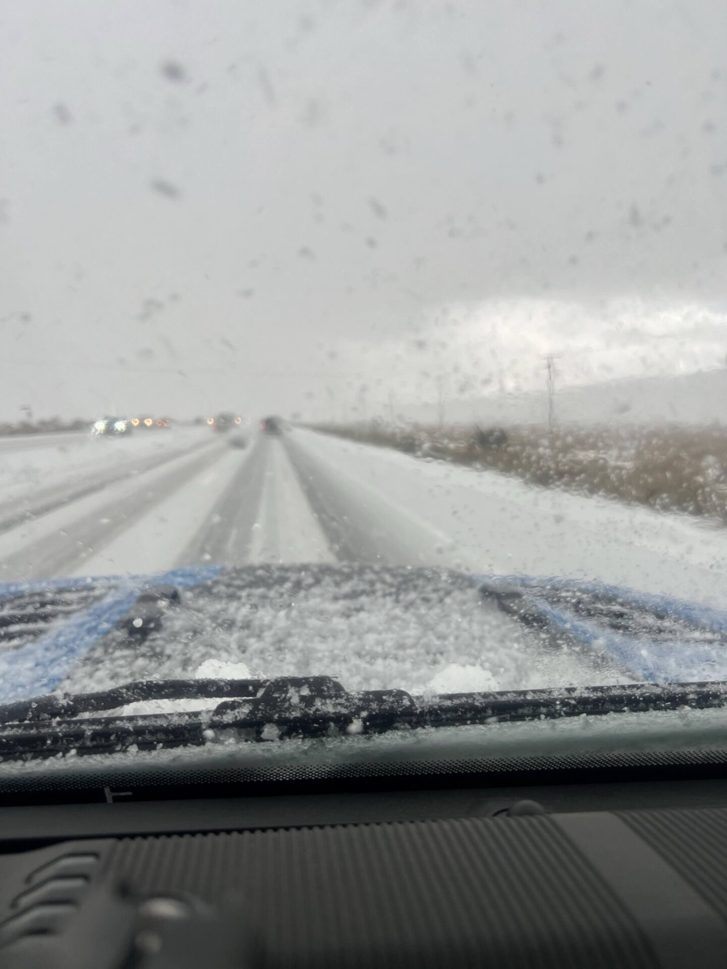
(very bumpy, he said), and Inyo Mine (I think). Brad, Myla and I returned to Rhyolite, and took dirt roads (some pretty steep) over the hills to the north, and into the Nevada Triangle portion of Death Valley. We went over a lot of alluvial plains, and eventually went up Phinney Canyon, where the landscape changed from desert-y type of brush to pine trees and SNOW on the road!
At first there were just little pockets here and there, but as we ascended, there got to be more and more, until we were driving in full snow. Woot! We were hoping to get to the end, but when the snow got to be more than 6” deep, we decided to stop, as we were at a point where we could still turn around.
There was only a little bit of slipping and sliding. Then back across the desert to Hwy 95 (saw 3 more burros), Beatty for gas, then back to STW for another big fire.
Monday morning, Steve and Brad went home, and Danny and Myla stayed in the park and did some more touristy things. We left on Tuesday morning. And thus concluded another great trip to DV.
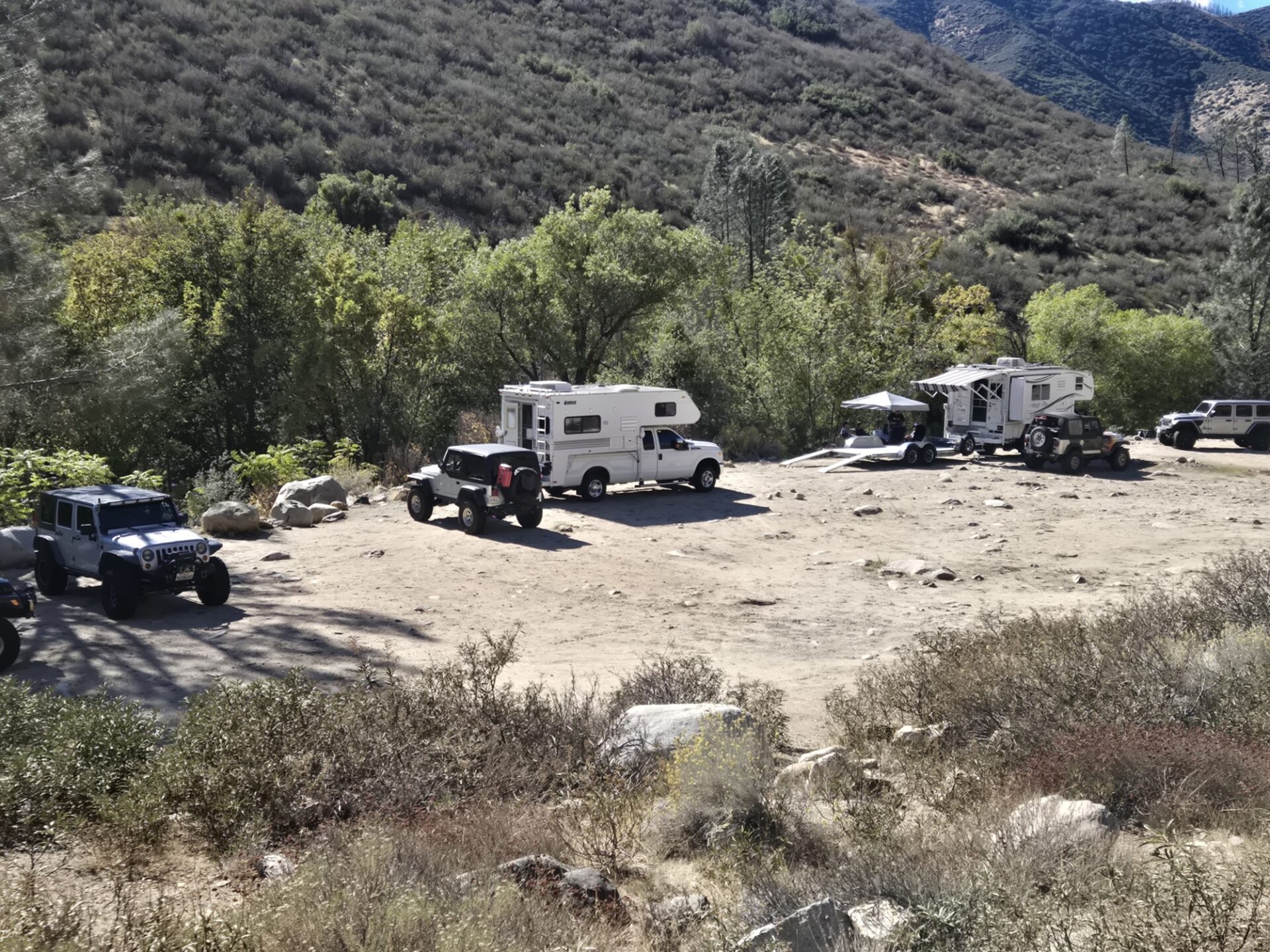
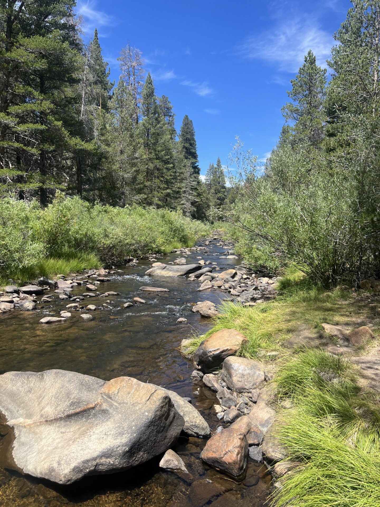
During the middle of October, the Santa Barbara 4 wheel drive club made its annual trek to the upper Kern river.
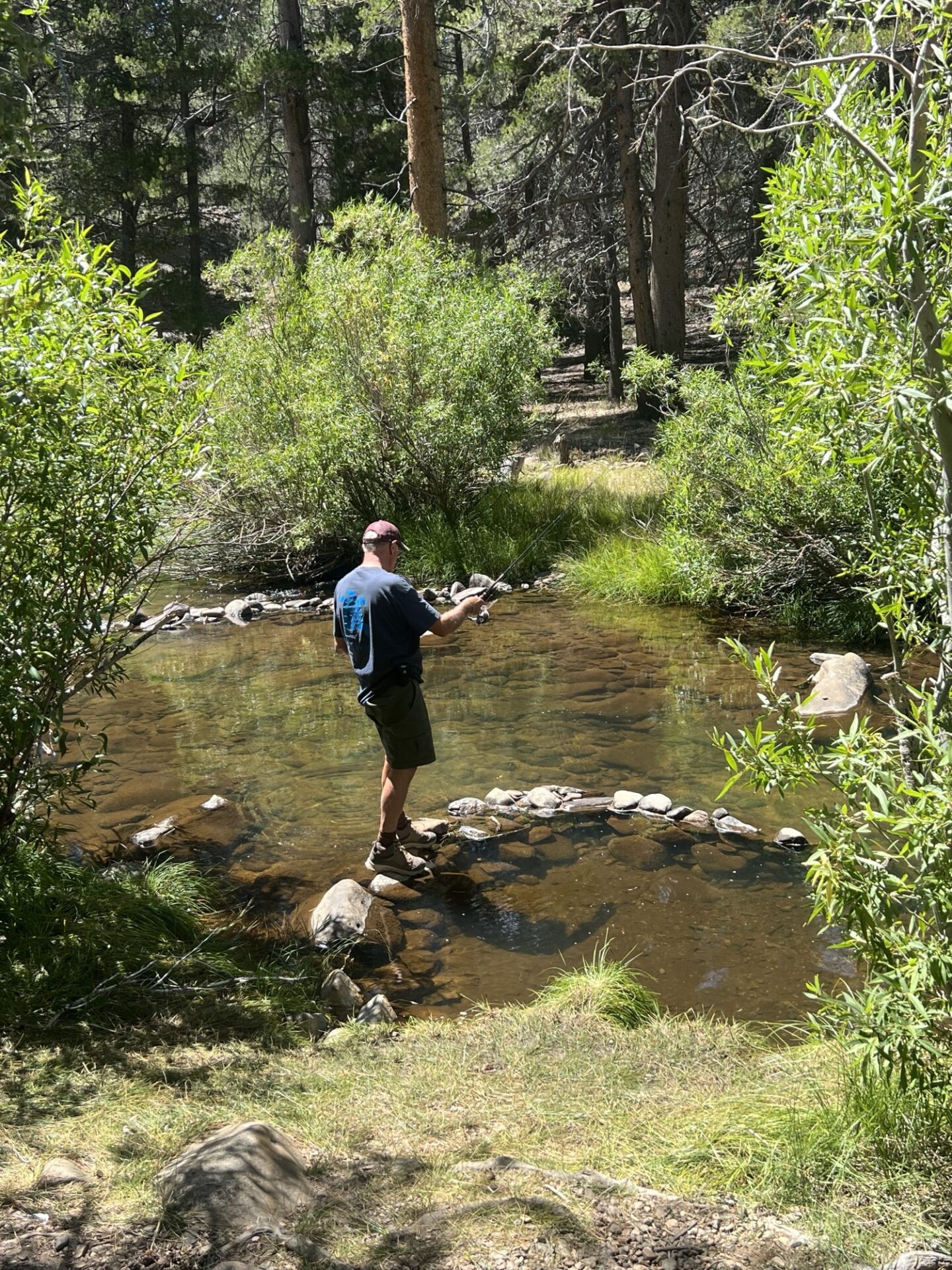
Camping right on the river, members enjoyed relaxing, hiking, fishing and having lunch at our favorite burger place, McNalleys, (which makes the best burgers and shakes), as well as wheeling in the nearby mountains.
As forestry fire restrictions were in place, we weren’t able to enjoy our usual wood campfires. The restrictions even included charcoal barbecues. As propane sources were still okay, we were able to enjoy a small propane powered fire ring for our evening campfires.
The weather was clear, cool and windy, especially at night.
During the day, we were able to observe fighter jets on low level training runs buzzing up the canyon between mountain ridges literally just above us. It was awesome.
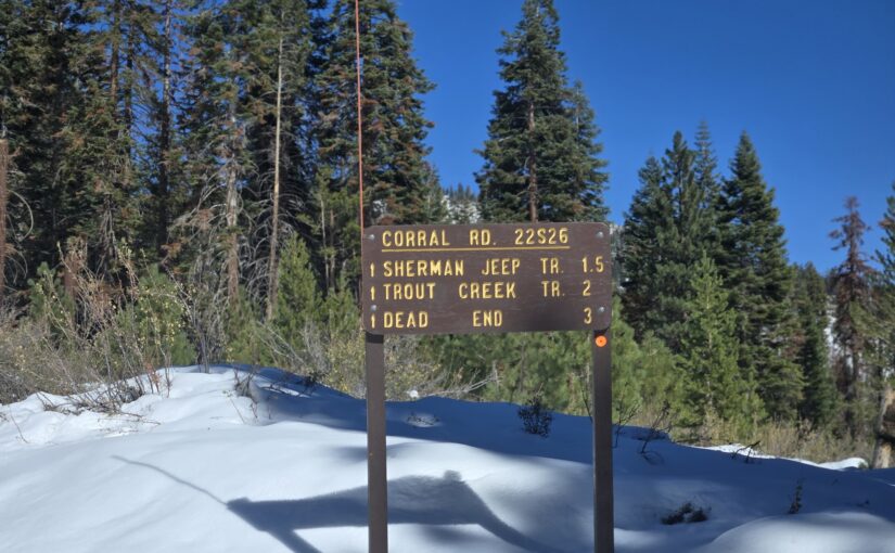
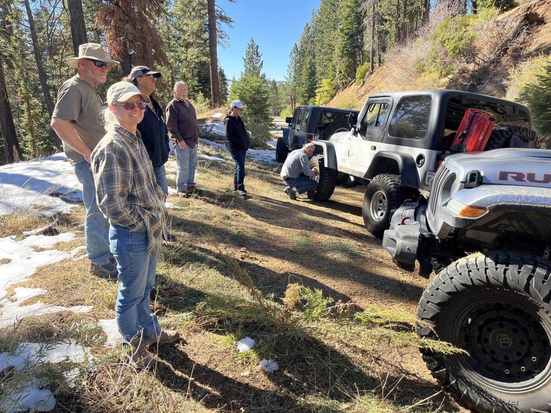
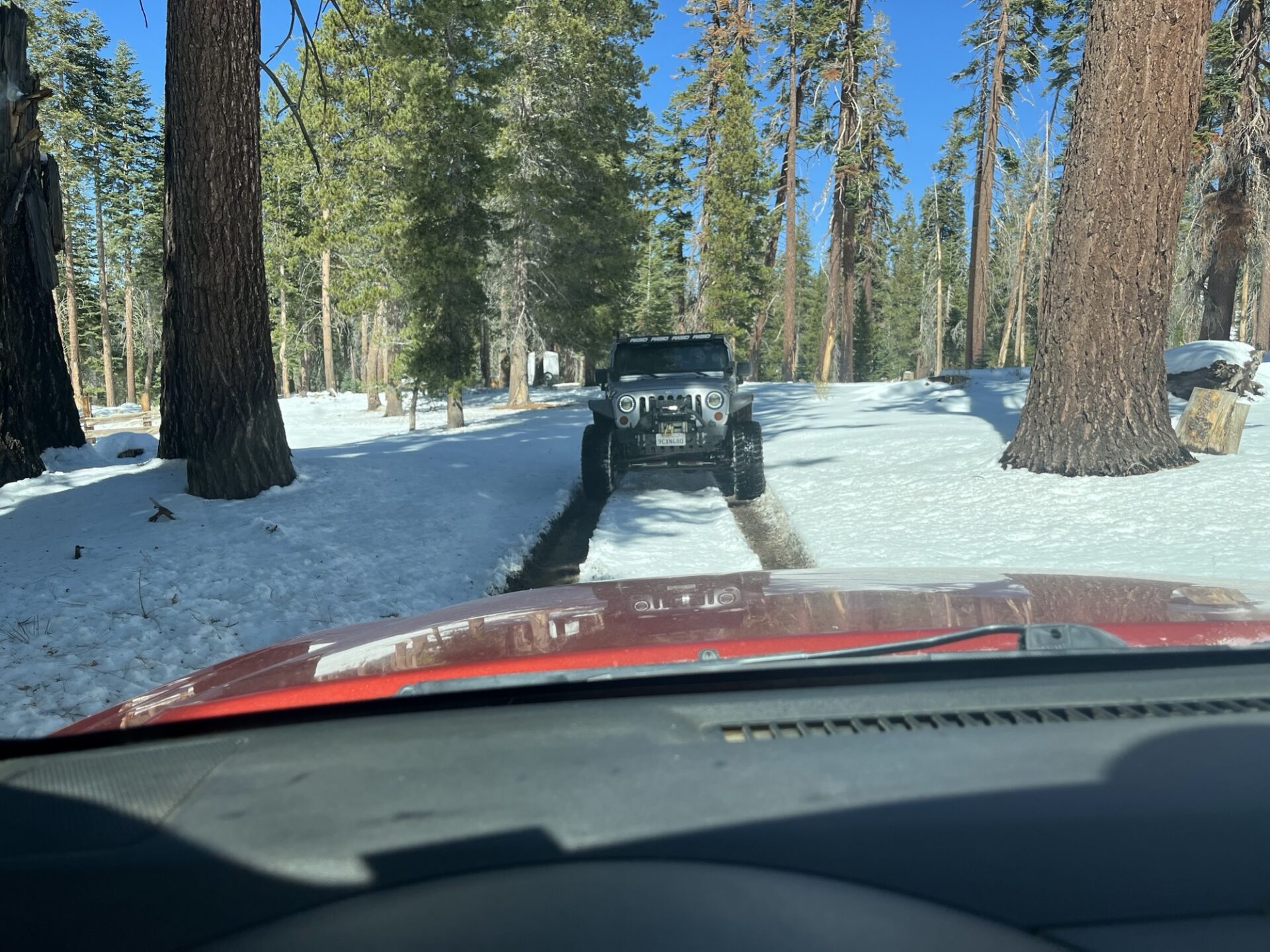
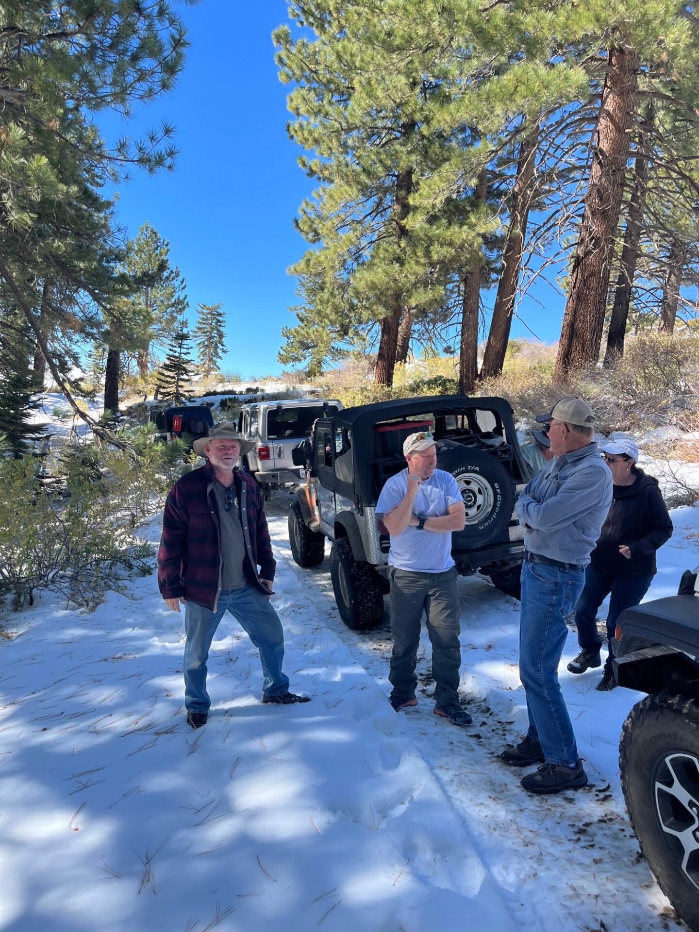
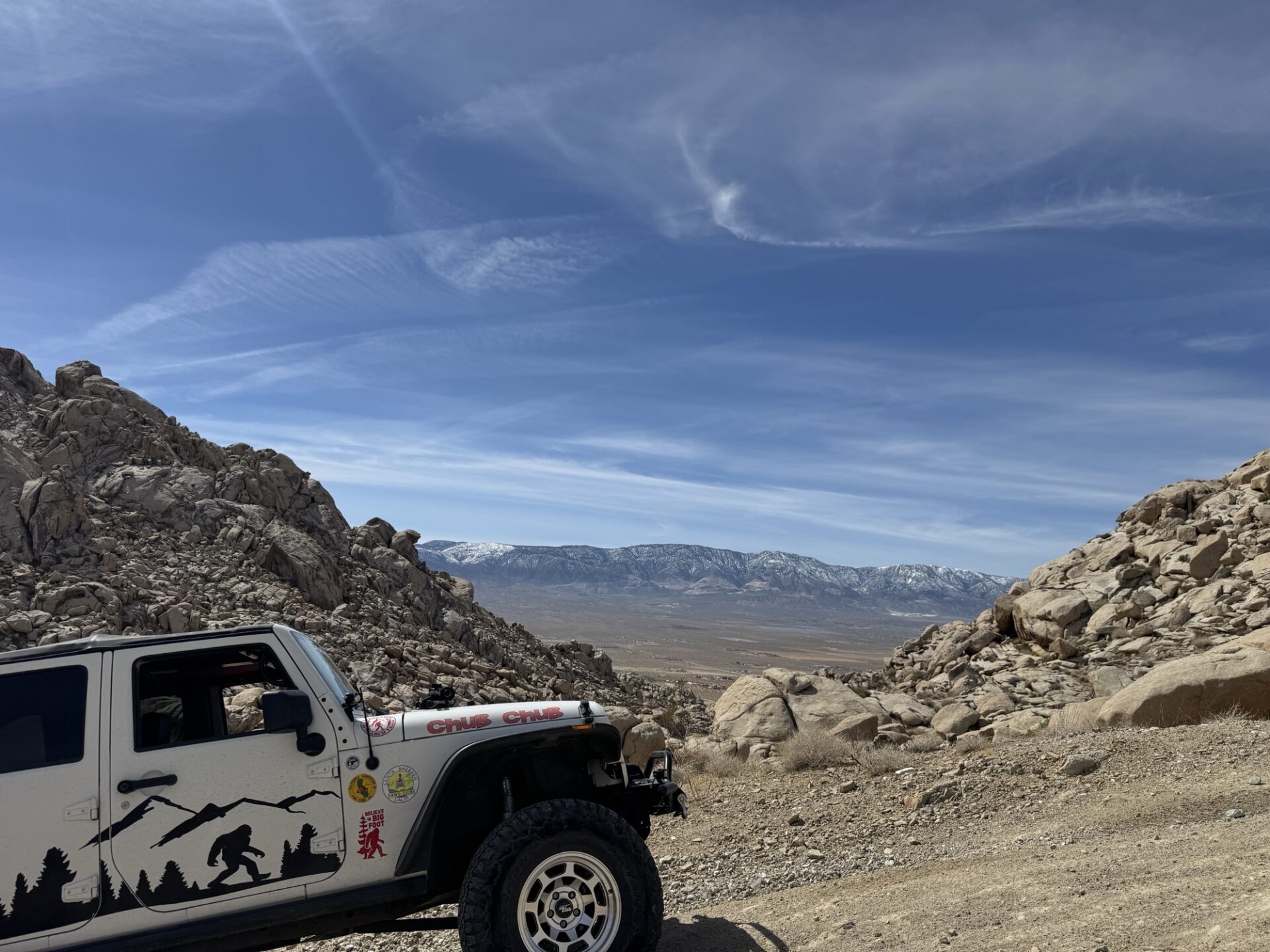
On Friday, the club explored Sherman Pass Road, which still had significant snow above 7,000 feet.
After stopping and enjoying spectacular views at the lookout vista at 9,200 ft. elevation, our club members made our way down the backside and enjoyed a trip through the forest at approximately 8 to 9,000 feet through the forest on the last loop of the Sherman Pass 4 x 4 Jeep trail.
Our trek through the forest was beautiful due to the snow everywhere from the storm that passed through the week before. We found ourselves traveling through 8 to 12 inches of fresh snow. It was so much fun.
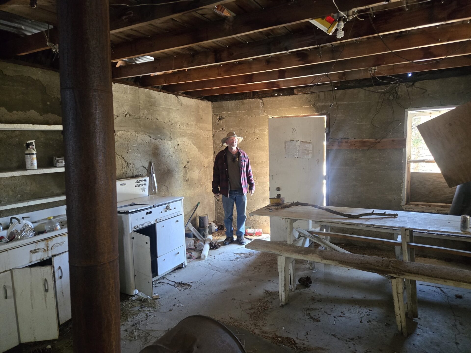
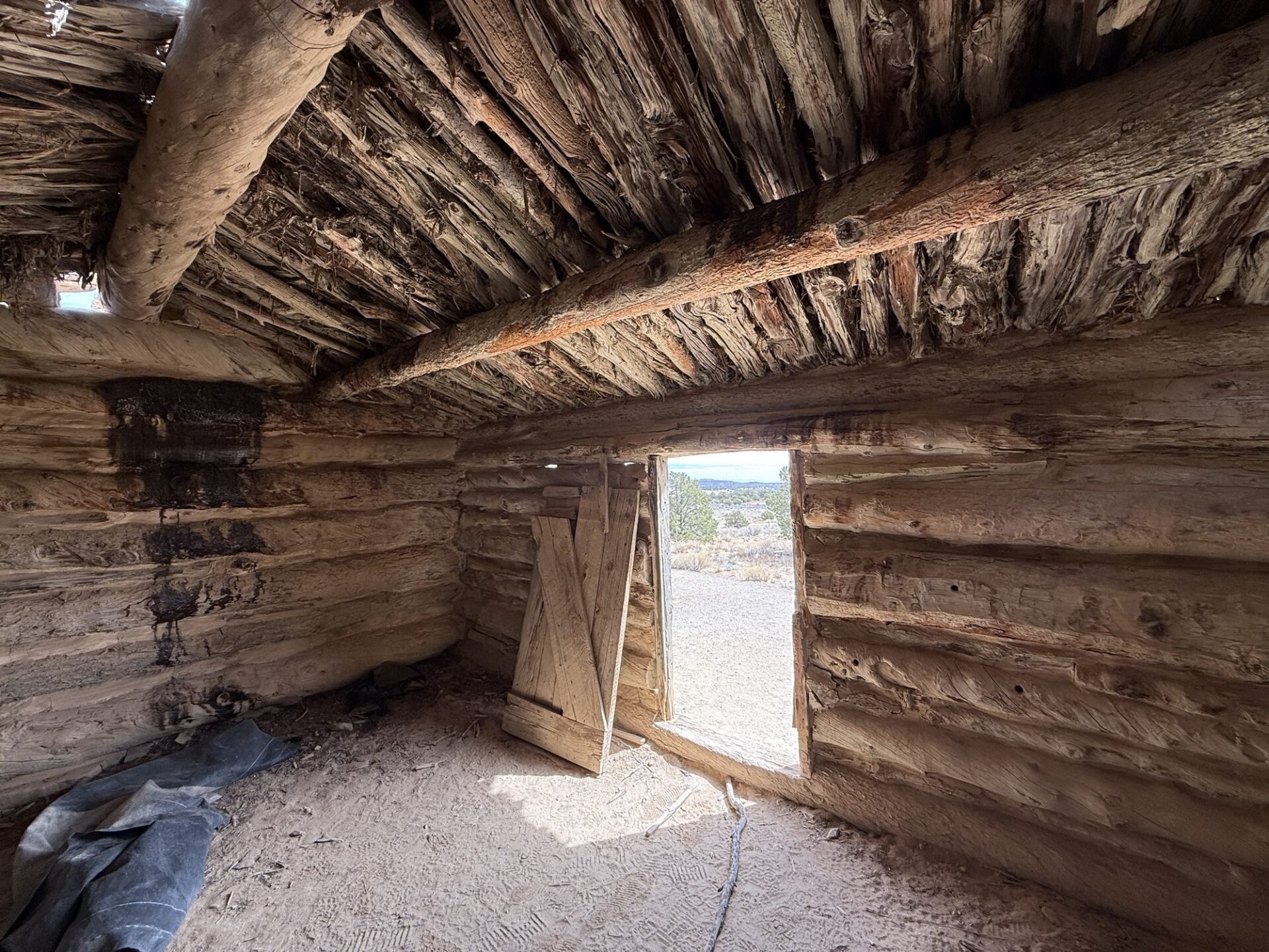
On Saturday, we headed back up to Sherman pass and entered the Sherman pass 4×4 trail on the middle access point. Led by Swifty, this trail was a steep climb entering several challenging areas, especially with slippery mud from the snow melting. We eventually made our way up to 2 old abandoned cabins (likely the Embrea cabins) where we got out, walked around and explored for a while. While the date of these cabins were originally constructed is not available in the trail literature, it is obvious they have been there for a long, long time as they are in severely dilapidated condition.
After leaving there and continuing up the mountain, the views became more and more spectacular. We eventually ended up turning around after trying to get to the radio towers on the top of the mountain because the snow became just too deep.
After a nice break, we traveled back down the mountain the same way we came up and eventually got back to asphalt, where we aired back up and headed back down the mountain. Some members stopped at the McNally’s burger shack for lunch, enjoying their tasty food at their picnic tables out front.
Sunday was pack-up day for our crew as we all headed out of the Kern river valley and back home.
Congratulations to Tad and Ann, newish club members making just their second extended remote trip with the club. They did great.
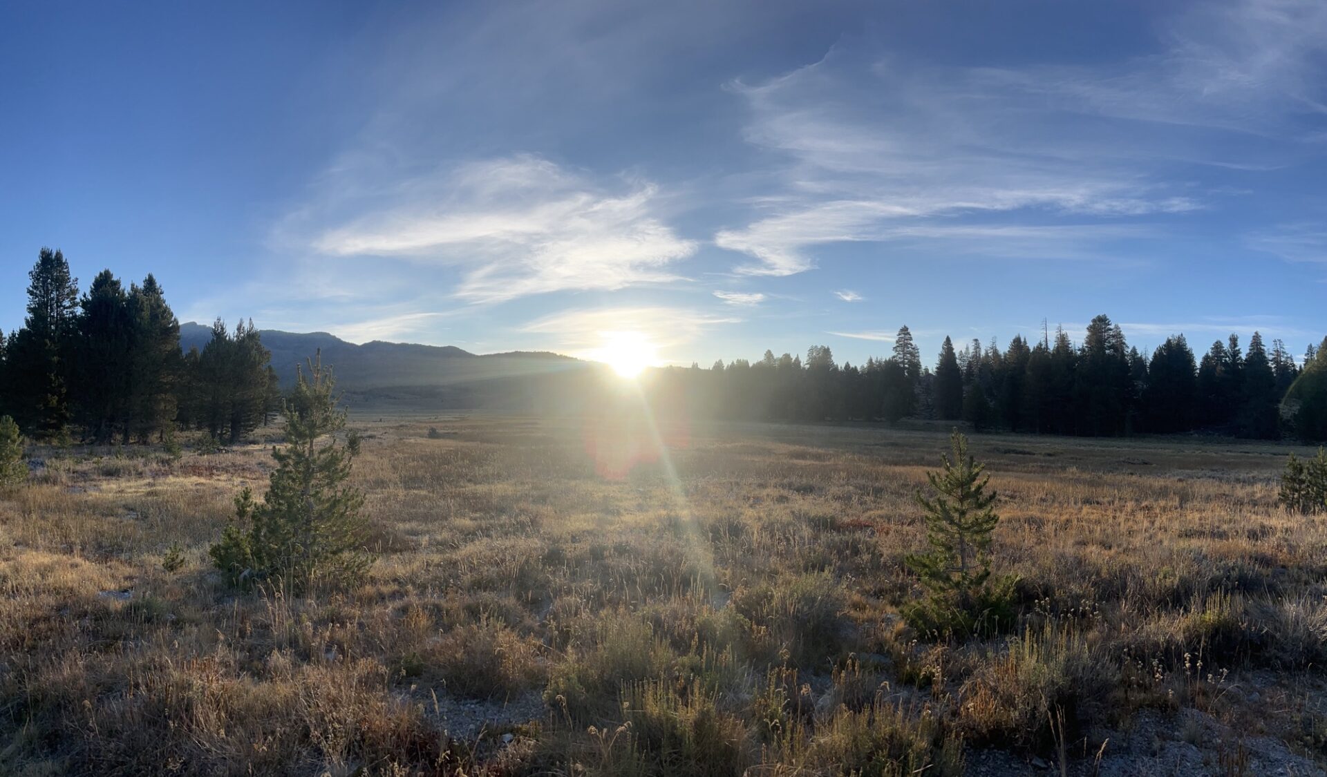
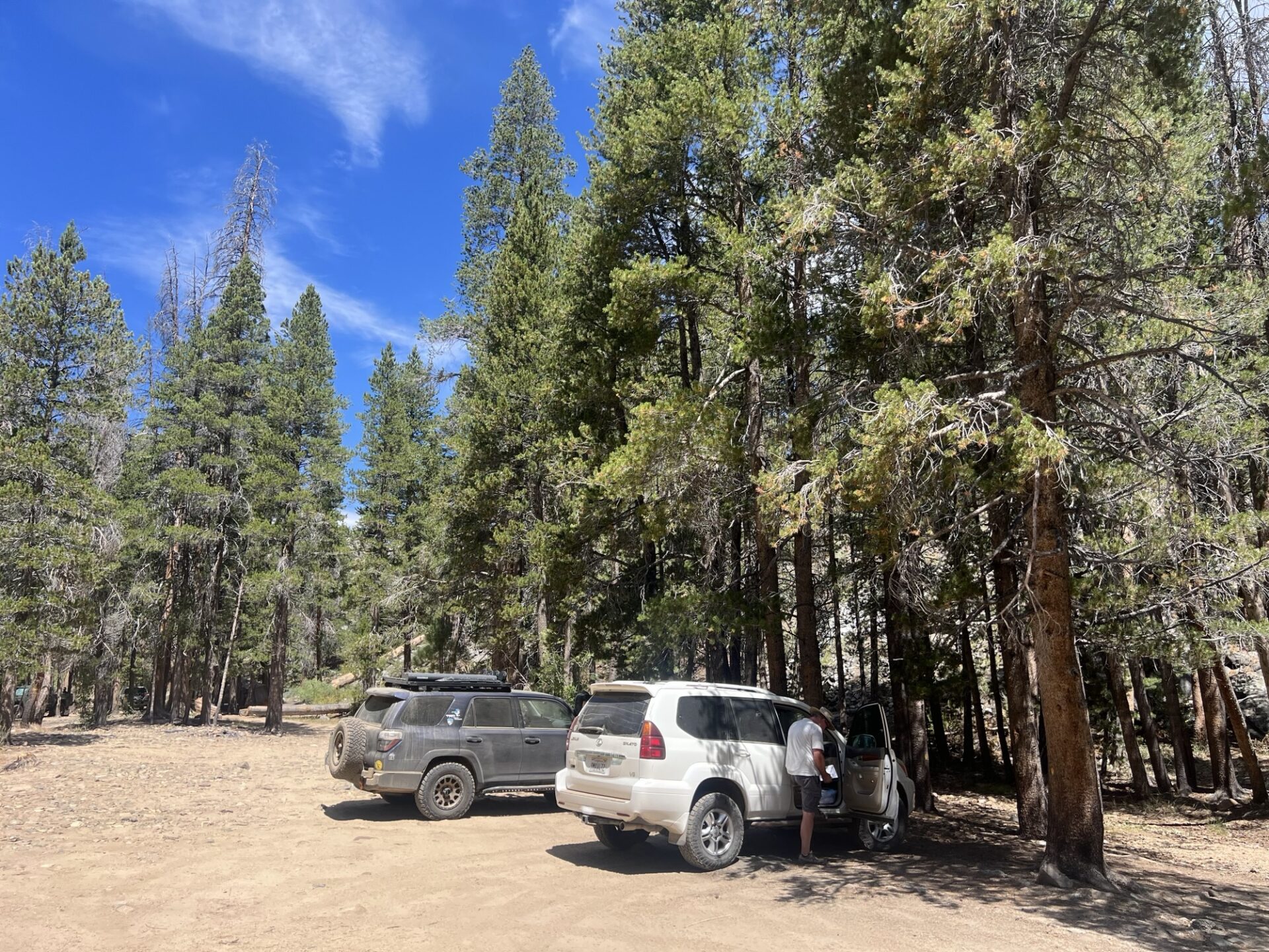
This was originally planned to be the annual trip to Coyote Flats near Bishop, but plans were changed the day before due to some expected weather and a having a very small group of four. We decided to go to the Monache Meadows area in the southern Sierra Nevada mountains within the Inyo National Forest, which is somewhat nearer but still a fair trek up the 395 and over to Kennedy Meadows along Nine Mile Canyon Rd.
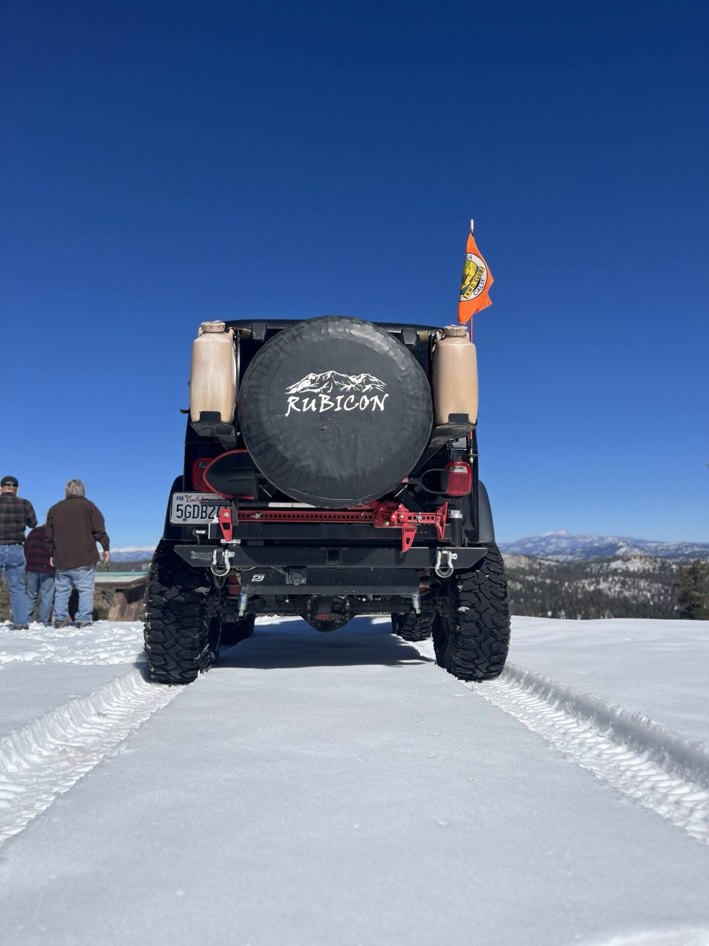
Wednesday 8/20. Three of us met and set off from Albertsons at the Casitas Pass Rd exit of the 101 in Carpinteria, Mike with Freya the Australian Cattle dog in his impressive 73 Chevy K5 Blazer, Dave in his nicely built 4Runner and me in my Rubicon 4xE. We were meeting Brad in his luxury Lexus GS off-roader at the Kennedy Meadows General Store.
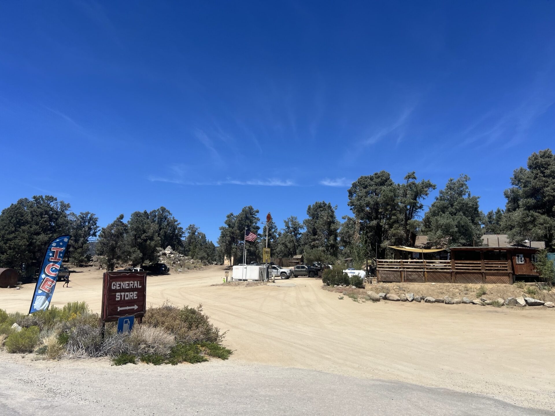
Kennedy Meadows General Store
We made good time to Kennedy Meadows, met with Brad, had a burger and paid $7.49 a gallon for gas! The store is a meeting place for PCT hikers, and they can have packages delivered there for when they arrive, as well has check in on Wi-Fi and camp.
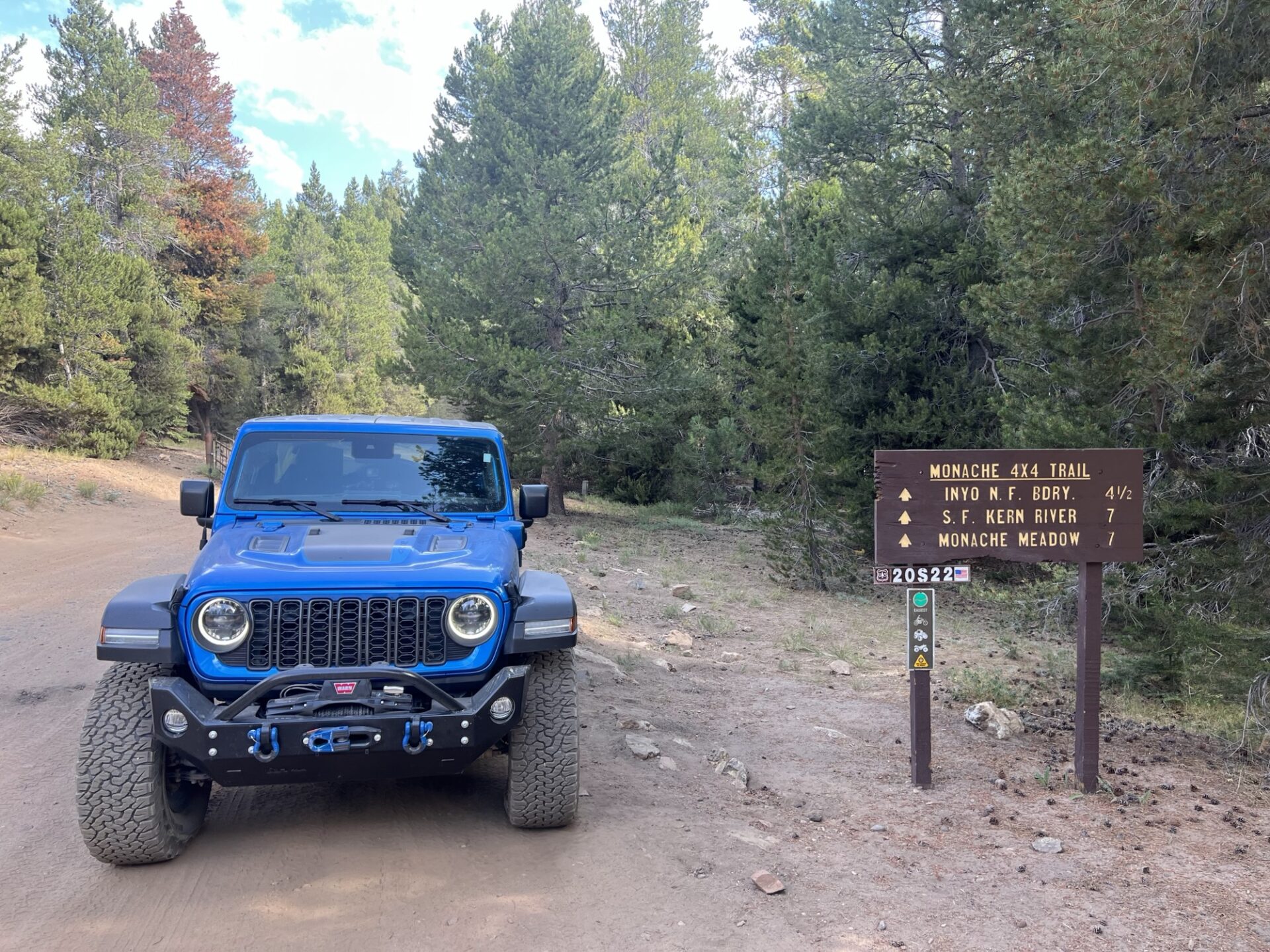
None of us were familiar with the area, but I had planned a route to a campsite that was recommended by Brent, the original leader of the Coyote Flats trip, using onX Offroad. This looked like we could get there on mostly unpaved road, but after going down several tracks and hitting dead ends or a motorcycle trail, we realized that was going to work. Dave was using Gaia and navigated us to the Monache Jeep Road 34E38 via Blackrock Road 21S03 and Smith Road 21S36. Monache Jeep Trail is a fun trail that’s marked as easy in the California Back Roads book, but it has some parts that make you think but nothing that’s going to damage your rig, unless you’re not paying attention!
Monache Trailhead
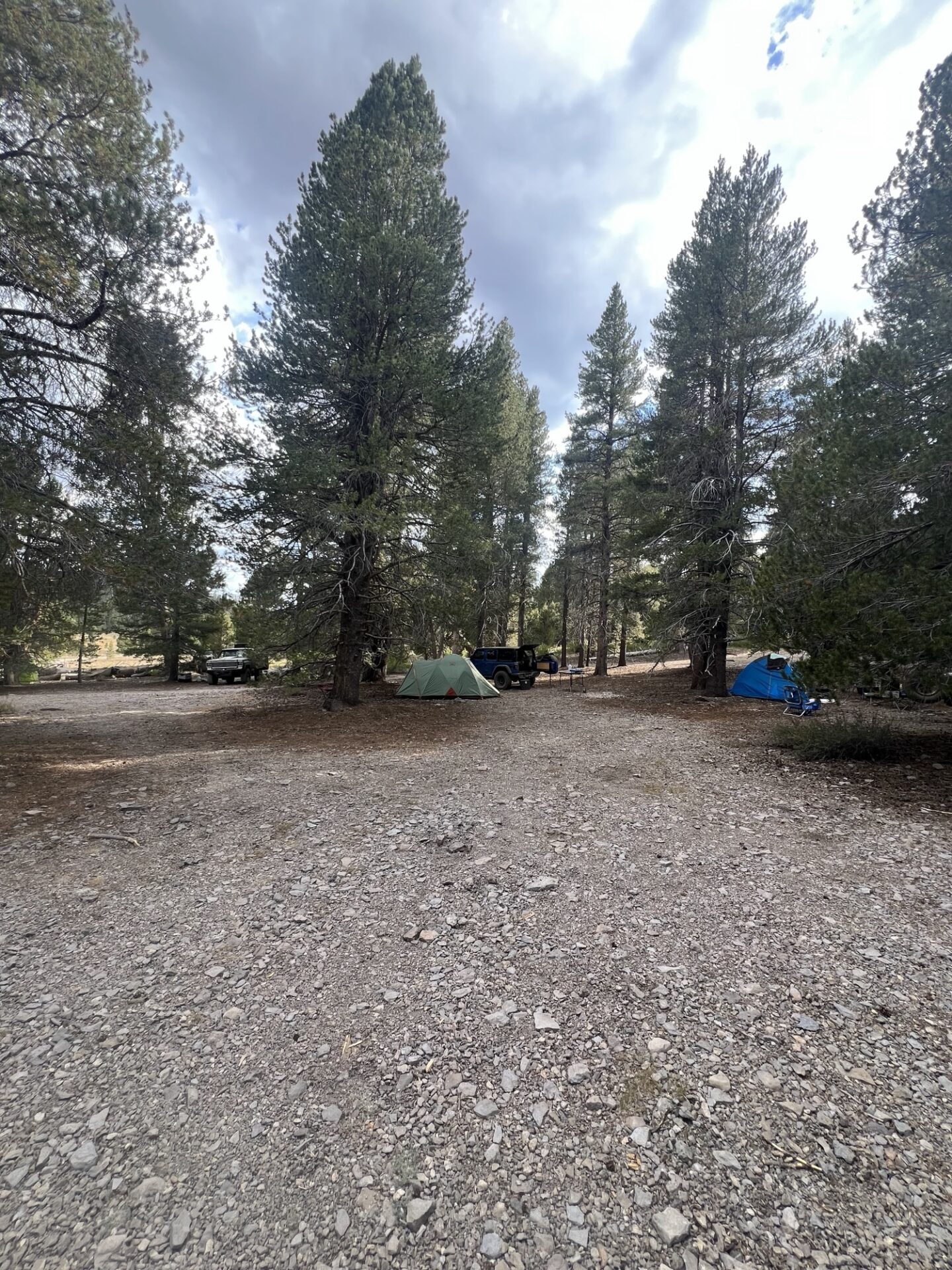
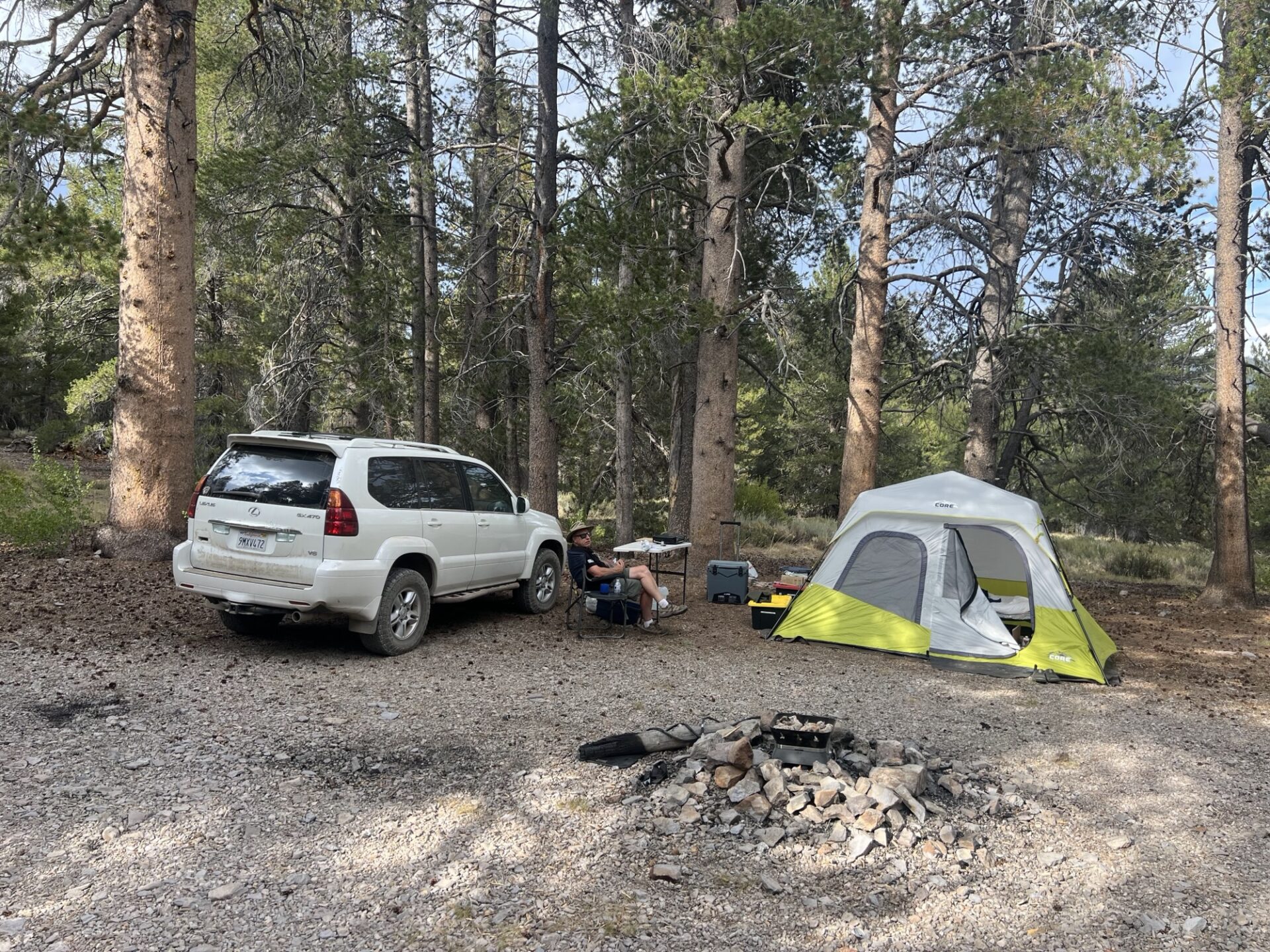
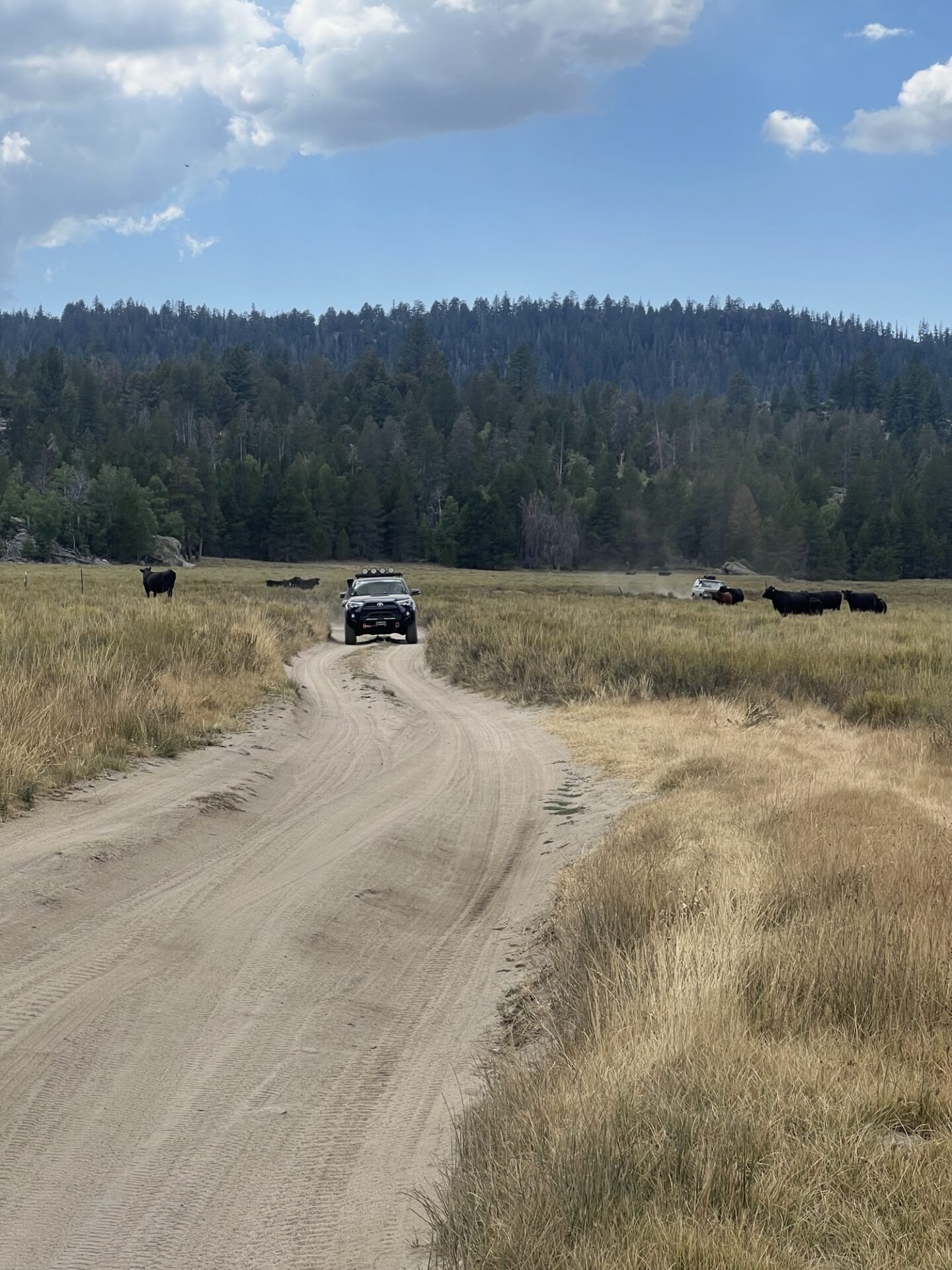
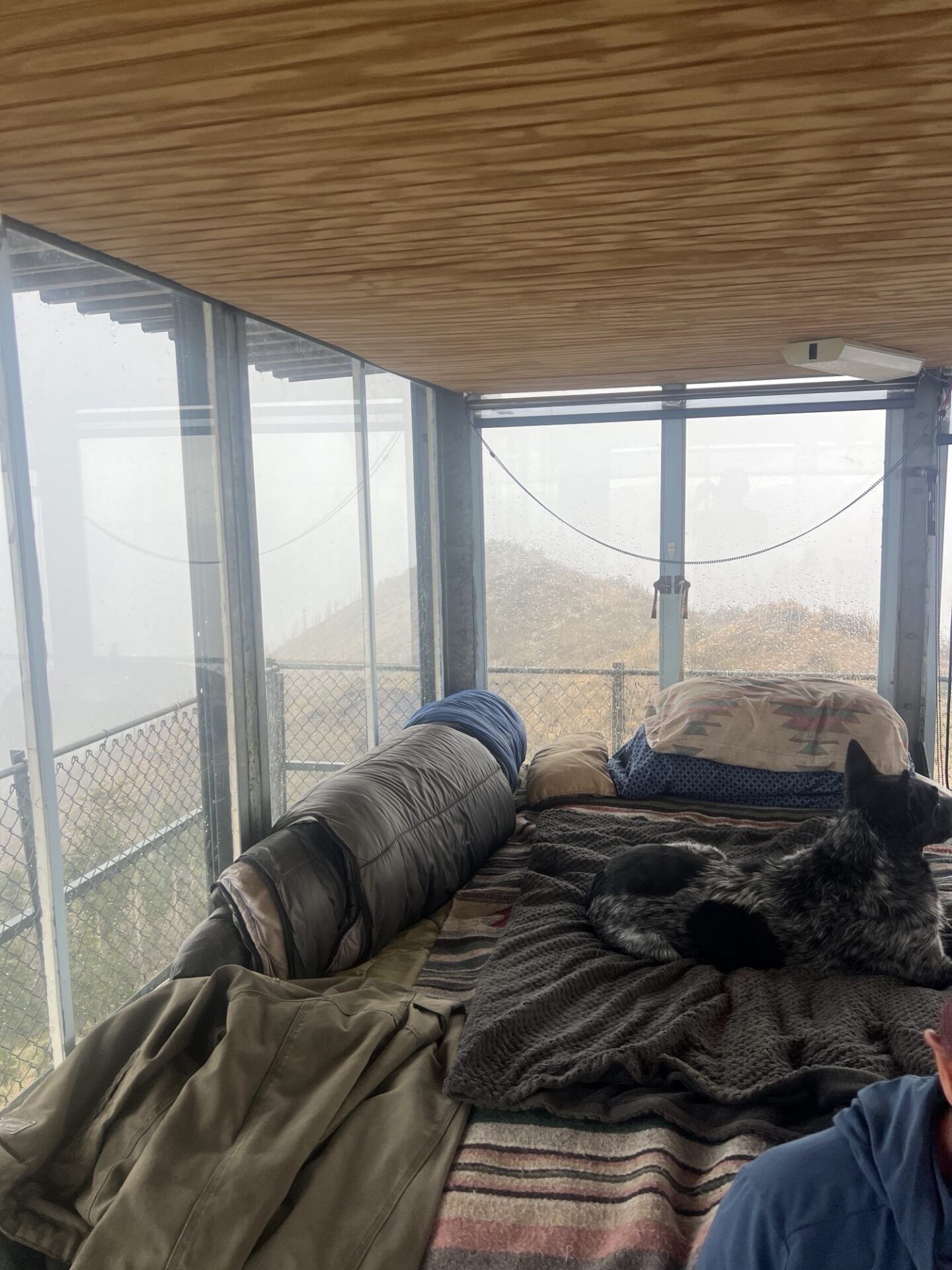
The trail leads to Monache Meadows which opens, as you would expect, to a beautiful meadow. There are many dispersed campsites along the trail and the site that Brent recommended was taken, but we managed to secure a beautiful site with plenty of room for the four us on the opposite side of the Meadow. We had shade, were able to spread out so we weren’t on top of each other, and we couldn’t see or hear any other sites. Perfect! The site was at about 8,000ft elevation.
By the time we had set up camp it was about 6pm with the temperature in the 60’s. Later in the evening we gathered round Dave’s gas fire pit to chat (no open fires allowed), and for some well-earned drinks and snacks. Overnight we all commented that it was a lot colder than expected.
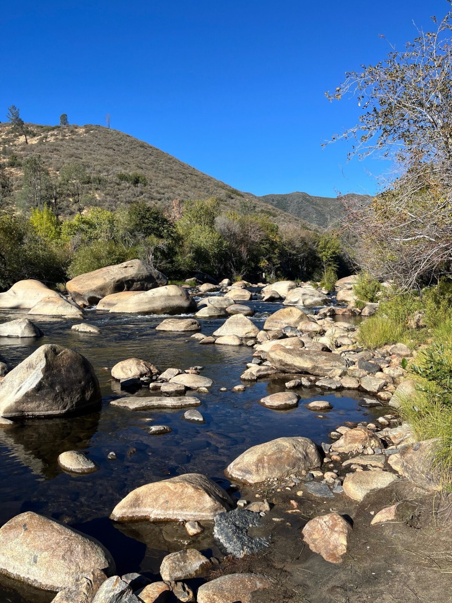
Thursday 8/21. The sound of Coyotes howling and yipping was the morning chorus as we had coffee and breakfast. Brad, Dave and I went exploring all the trails in the area up to the South Fork of the Kern River. There are a lot of campsites near the river and they’re a popular destination. There are also Golden Trout in the river and Dave went for a hike, dropped a line and caught a couple of small trout. Brad and I continued to explore the rest of the trails in the area which where all dead ends across the meadow. Very nice though. We saw a hunter with a crossbow and wondered what he might be hunting. Then we noticed Deer Island on the map, so I guess that explained it.
Mike and Freya chilled back at camp and fixed a couple things he needed to on the Blazer. The latter part of the day was chilling back at camp, throwing the ball for Freya, reading a book in the hammock and cooking dinner. Later that evening we regrouped around the gas fire pit until the gas ran out so had to use my new telescopic LED light to provide some ambient light. Something spooked Freya while were sitting but we couldn’t see anything in the dark of the trees and we didn’t get visited by bears, at least that we know of! Freya sacred them off.
Friday 8/22. Using my Starlink, I was determined to find out what had gone wrong with my navigation using onX on Wednesday. I subscribed to Gaia and downloaded offline maps to see if that was any better. The route looked very similar but undeterred, the four of us decided to head back towards Kennedy Meadows General Store via the Monache Jeep trail and paved road, top up with gas – did I mention it was $7.49 a gallon – and try and make our way back on trails following Gaia. On the way back to the store we stopped in at Blackrock Information Center. The two volunteers were very knowledgeable about the area and when we showed the route on Gaia, they said it’s not doable. Many of the trails were motorcycle only and we weren’t the first to have this issue, several others using onX and other apps had the same issue. So, I feel a little better that it wasn’t my incompetence, not all of it at least.
We headed back towards camp, but Brad had more exploration on his mind and took the Beach Road 21S02 to an old corral in Beach Meadows. We all enjoyed another trip down the Monache Jeep Trail and back to camp. Along the way, Dave launched the drone which followed us back along the meadow, through a heard of cows.
Friday night at camp, Dave and I had a Chili cook off, Brad and Mike were the testers. Both delicious and different in their own way was the verdict.
Dave had refilled his propane at Kennedy Meadows General Store and that evening we were able to sit around the gas fire pit again. Dave played us a few songs on his guitar, and we enjoyed some gummy bears, Scandinavian Swimmers, popcorn and cookies. Oh yeah, and we finished off the Old Fashioned and Woodford Reserve.
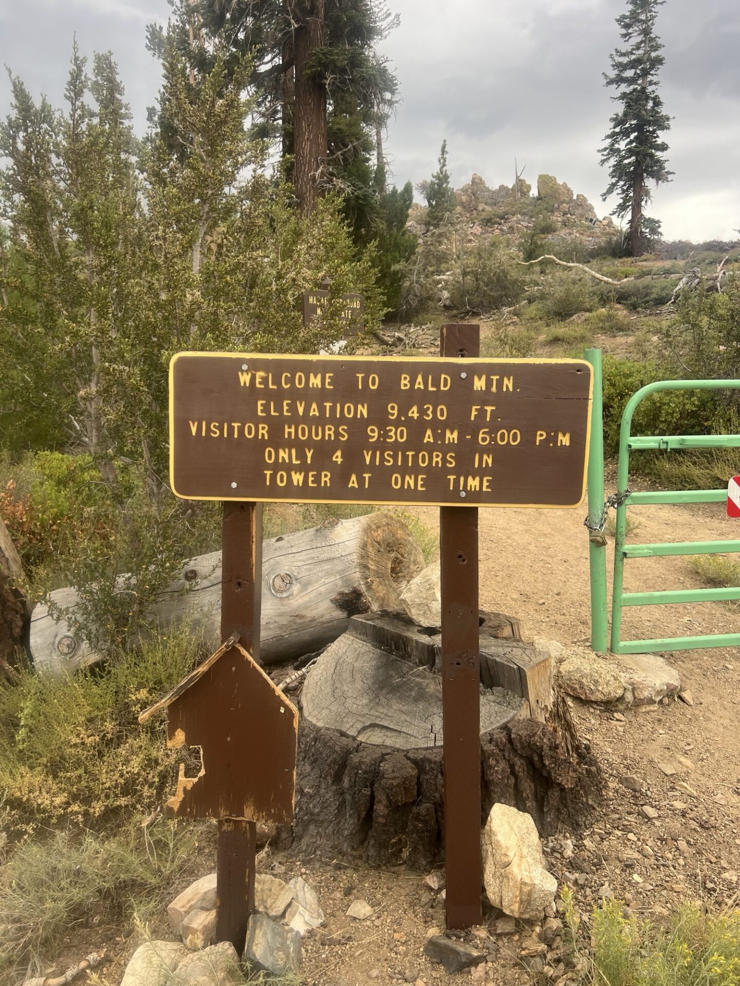
Saturday 8/23, departure day. We packed up camp and left around 8am as we had a long day ahead of us and wanted to visit the Bald Mountain Lookout Tower, and Kern River Brewery for lunch.
One more time across Monache Meadows and up Monache Jeep Trail. On the way up the trail, Mike’s battery came loose with all the bouncing around and started arcing to the Blazer’s metal frame. Smoke came from under the hood and started filling the cabin area, and fortunately there was no lasting damage and Mike was able to secure the battery and complete the rest of the trail.
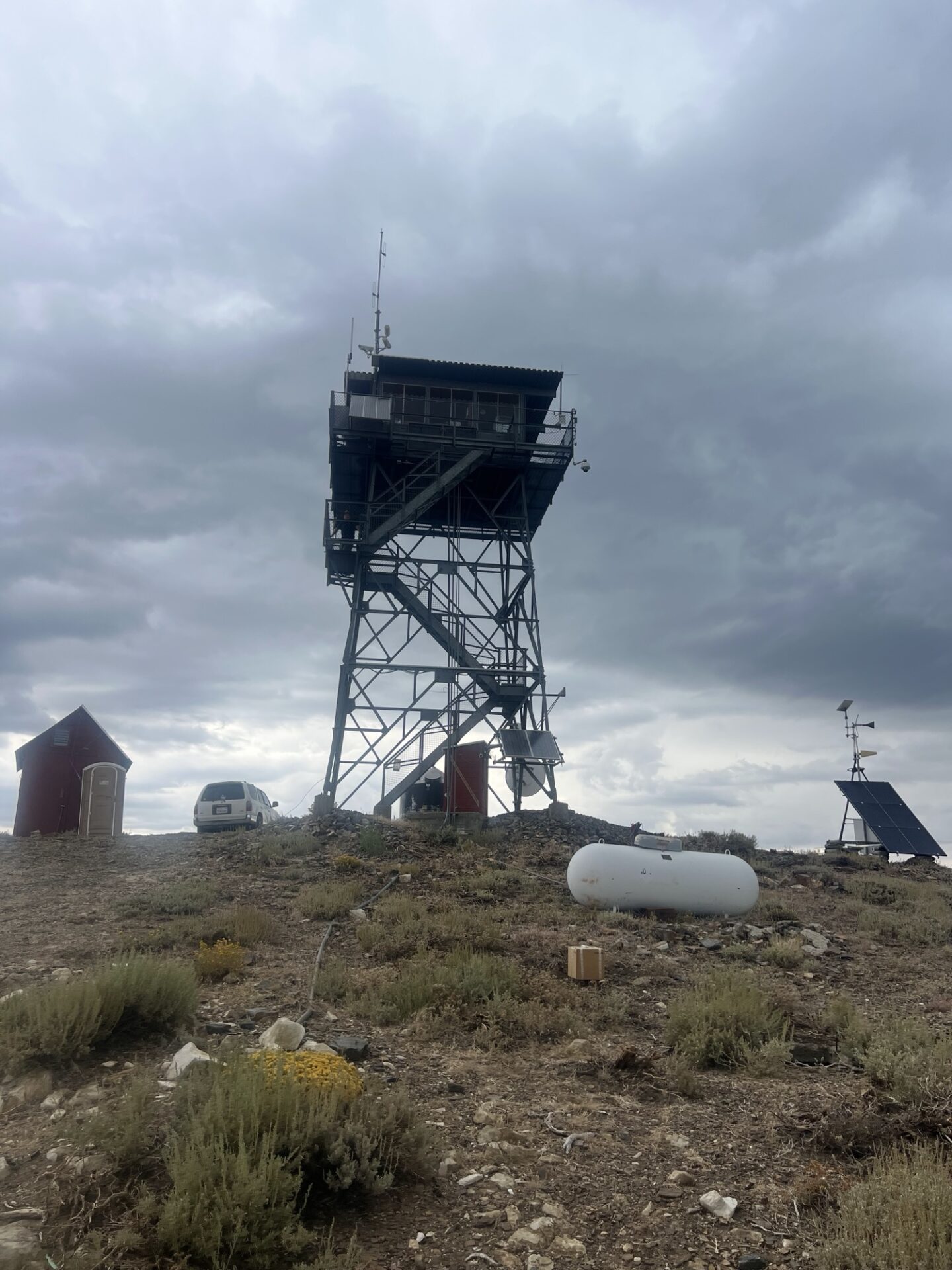
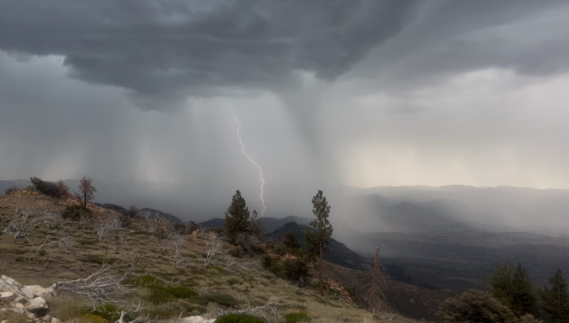
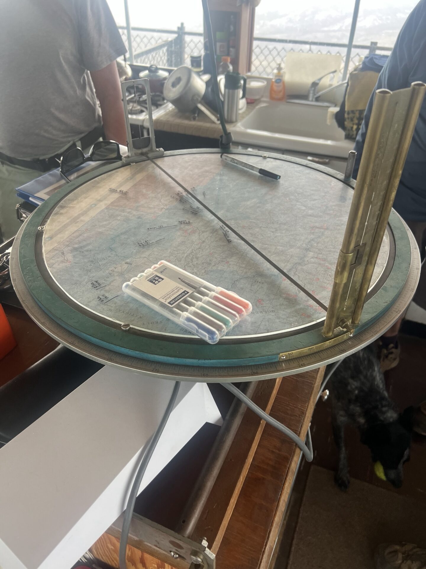
We aired up at Blackrock Information Center and made our way to Bald Mountain Lookout Tower, a manned lookout tower at 9,400ft elevation in the Domeland Wilderness on the Sequoia National Forest. By now the clouds were moving in and were pretty dark. When we got to the trail, we need to hike up about half mile or so and we could hear the rumbles of thunder and see a couple of flashes of lightning. We go to the tower just in time as the heavens opened. We could clearly see lighting strikes as we climbed the metal steps of the metal tower on top of a mountain. We were ushered in by Glenn, the ranger who lives up in the tower with his cattle dog until October. It can’t be more than 15ft square, but he has everything he needs. We watched the lightning get nearer and eventually pass. Although the tower is grounded, I wasn’t completely comfortable, particularly as Glenn was stood on a glass insulating mat that he’d been advised to stand on during a storm. We couldn’t all get on the mat.
Anyway, we live to tell the tale and it was an incredible experience. The timing of our visit couldn’t have been any better. Glenn showed us the tool he uses for guiding responders to any fires in the area, an Osborne Fire Finder which is a circular map with sighting crosshairs enabling him to pinpoint the exact geographic location of a smoke column. We also learned that an ember from a lightning strike could be dormant in a tree for several weeks, or even months, before erupting into a wildfire.
Once the storm had more or less passed, we made a hasty retreat down the metal steps and to the relative safety of our vehicles. Next stop Kernville.
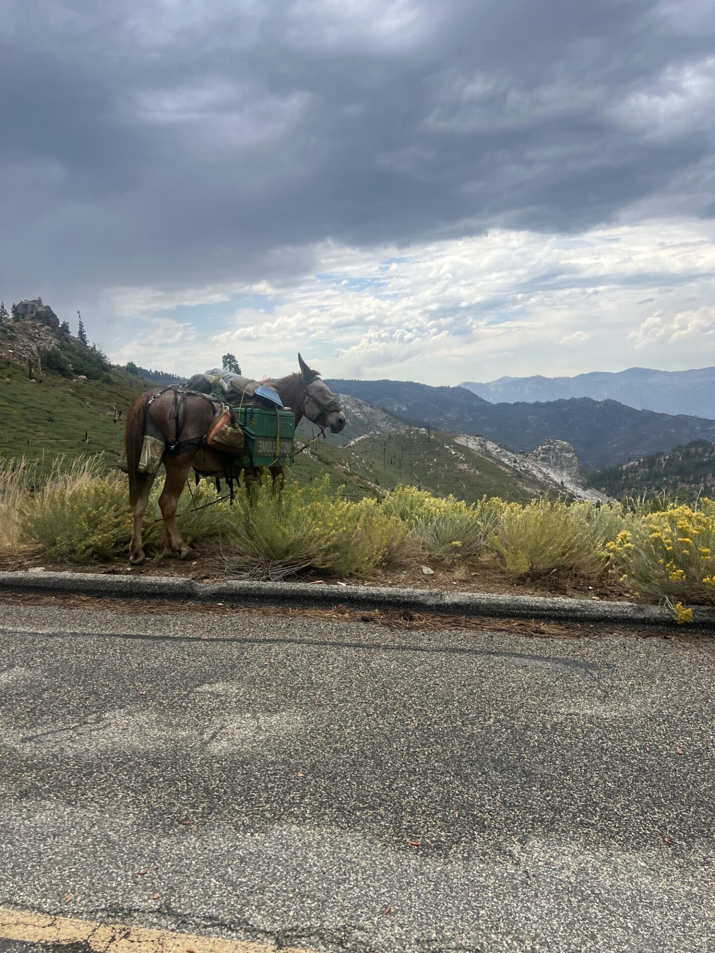
The Sherman Pass Road to Kernville was a beautiful scenic windy road down the mountain to the North Fork of the Kern River. There was one last surprise, a man with a mule walking the road. Dave asked where he was going and he said “Nowhere”. I took a picture of the mule and later noticed a url printed on his cargo, 3mules.com. The man, Mule or Monk, is 77 years old and has been living outdoors full time since 2001 moving between San Diego and Sacramento. There’s even a Mule Tracker on the website!
We arrived at Kern River Brewery, and this is where the group split and went our separate ways. Brad and Dave had lunch at the brewery, Mike and Freya headed back to Santa Barbara via Bakersfield and I headed back via Mojave and Antelope Valley. Dave stayed out for an extra night in Carizzo Plains on his way home.
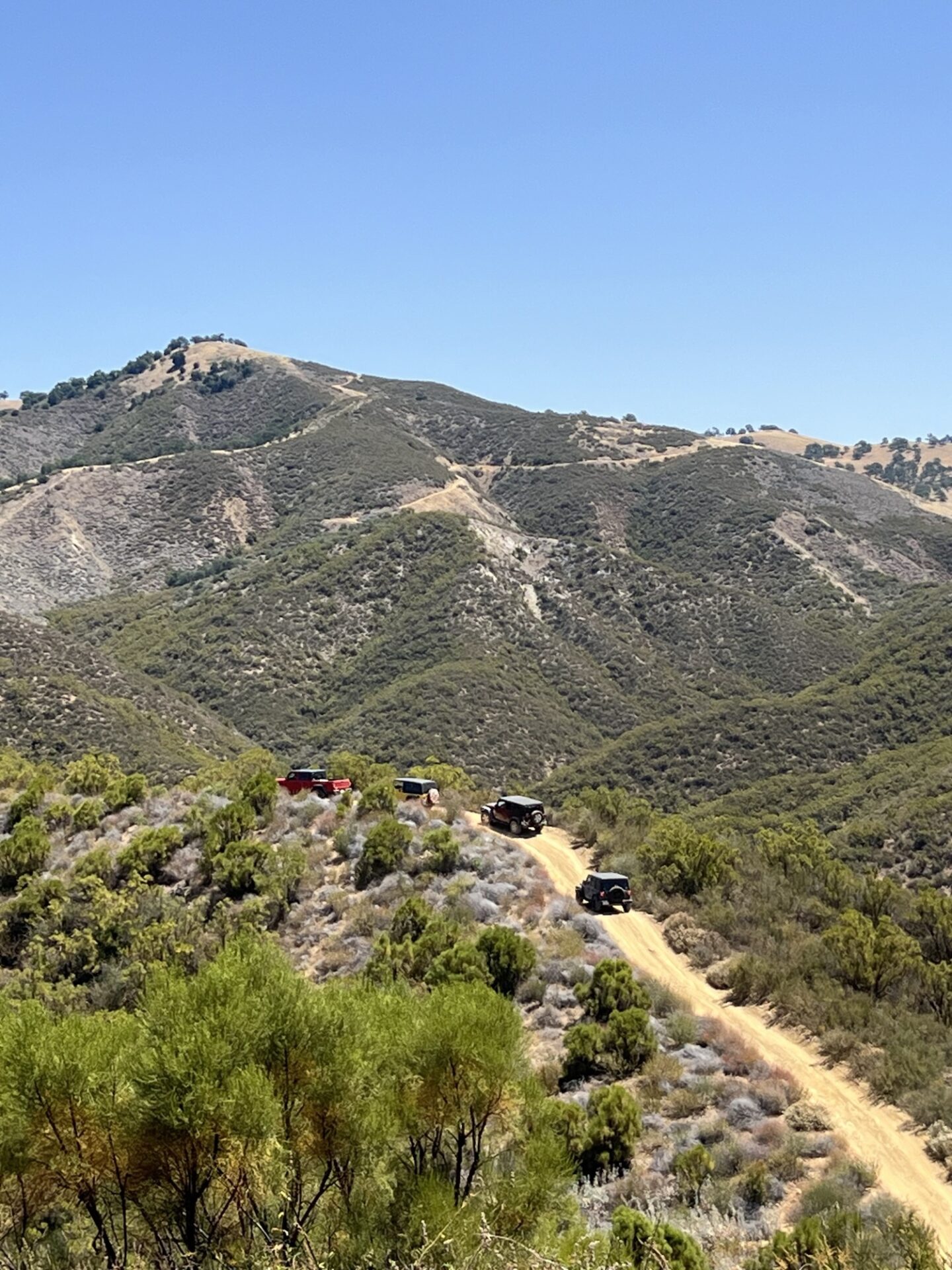
We had a caravan of 7, with one of our newest members, Mark joining in the fun. Dana Gamble, Jerry Holloway, Steve Smith, Larry Freidman, and Danny Kato. Conditions were warm, dry and dusty.
We scaled some hills that ranged in steepness from little more than 10 degrees, to 23 – 24 degrees. Same on the descents. The geology changes about half way through the 10 mile loop to diatomaceous earth, which makes for an interesting view out in the hills.
Four of us traveled the back half of the main loop after lunch, which turned out to be a little disappointing. It’s almost identical in difficulty to West Camino.
Mark was marveling at his new pinstriping on his Jeep, although there was a bit of chagrin to his voice. We assured him “it’ll buff out”.
All in all it was a very successful trip, and a lot of fun was had.
This weekend the SB4WDC enjoyed our mid-month Sunday funday run by spending the morning in the Santa Barbara mountains.
Fifteen members & two dogs ran the West Camino trail on a beautiful spring day. The weather was perfect.
It was a busy day with lots of other folks out and about in the area as well enjoying some trail-time.
All in all club members enjoyed some much needed dirt-time + some social interaction and even some sweet treats.
Special shout out to relatively newish members Tony, Tad & Anne who joined in Sunday and were able to get some of their first 4/low hill climbing & obstacle opportunities in their new jeeps. They did great.
Members: For more images, check out the club’s website folder for this and all our events!
This was a trip planned for 3 days of wheeling. Some people came early, and others left early, but at the height of the trip we had 9 rigs participating, good turn out for a place so far from home.
Participants were Brian F, his daughter, son-in-law and a friend of theirs. Bryan and Tiffany, Rob and Dorothy, Darrell, Fernando, Brad and myself.
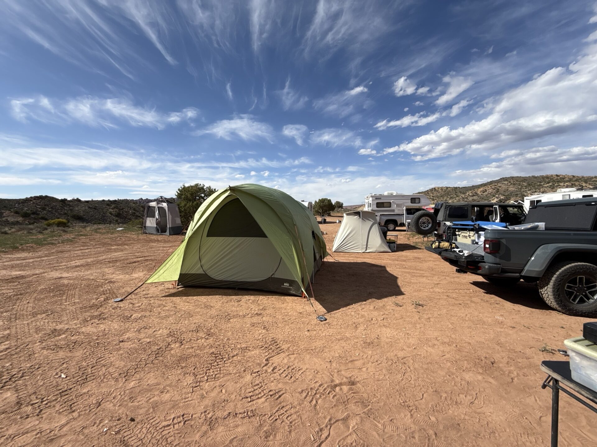
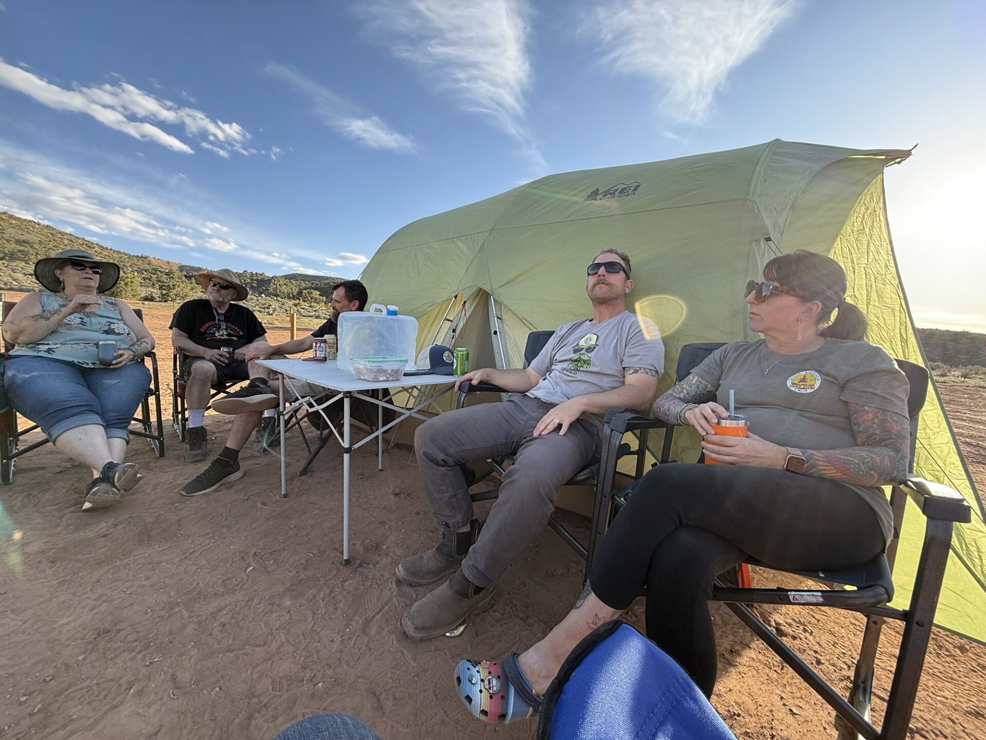
The weather was generally warm, mostly sunny and nice. However, the wind was very strong at times and those of us in tents had red dust on all of our equipment even making its way into our sealed tents.
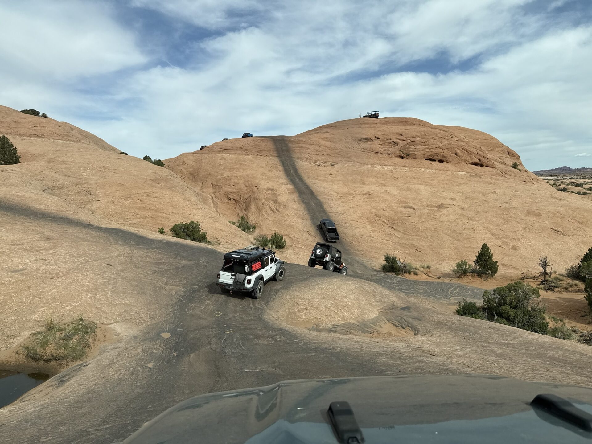
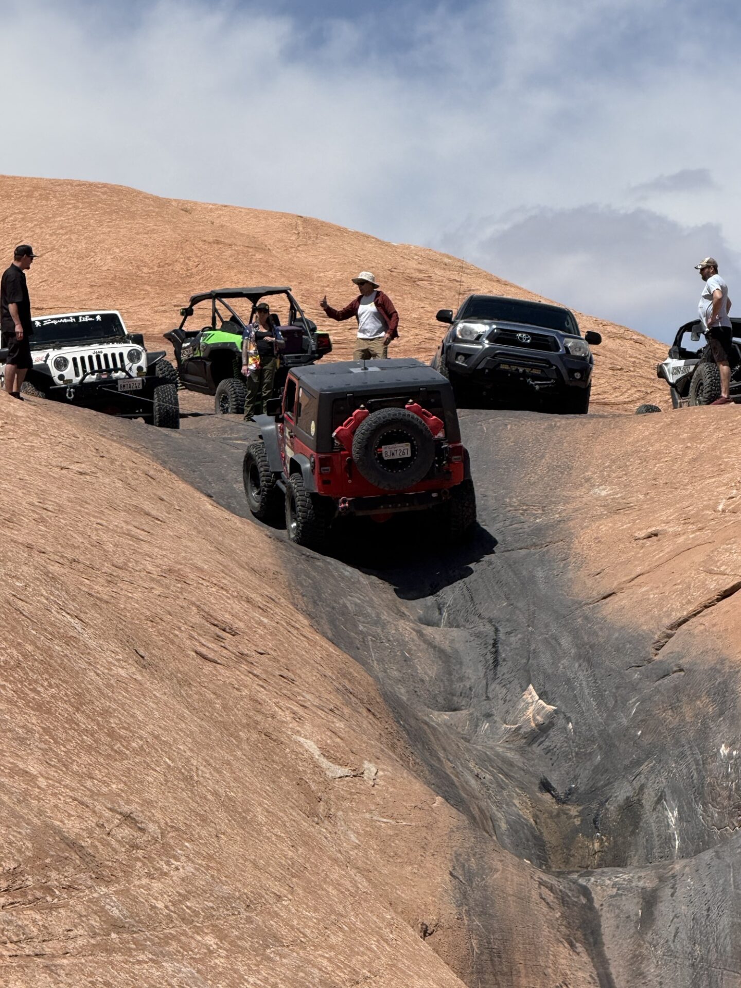
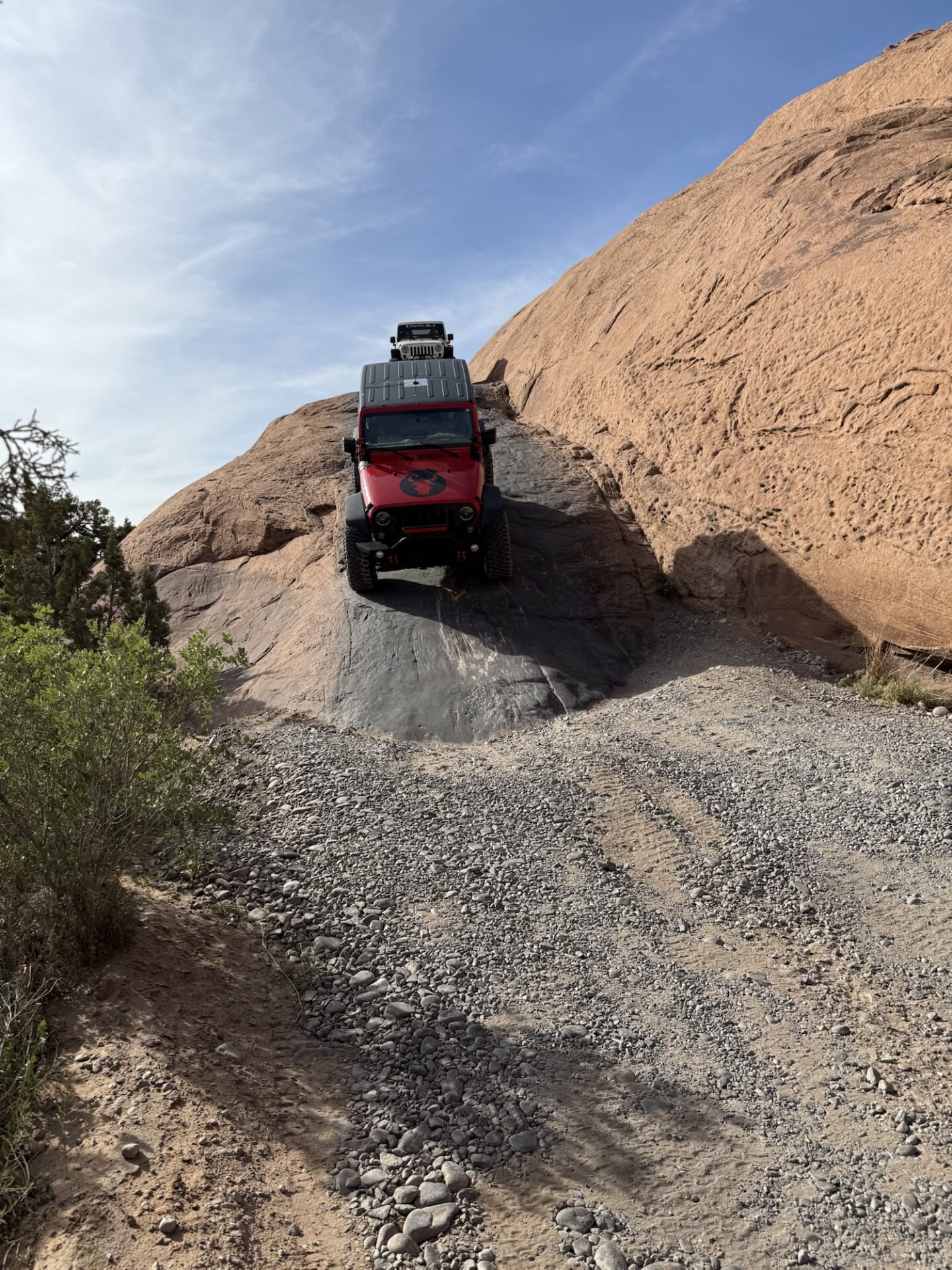
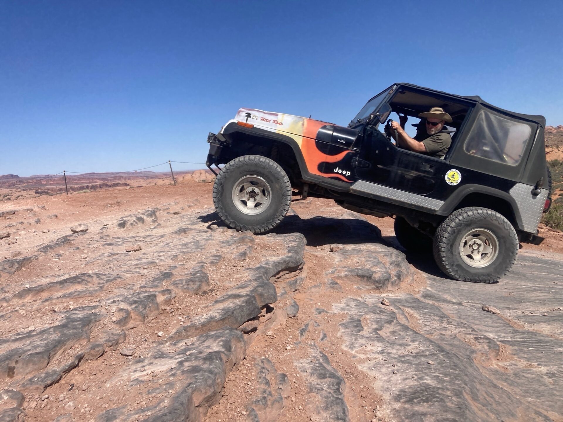
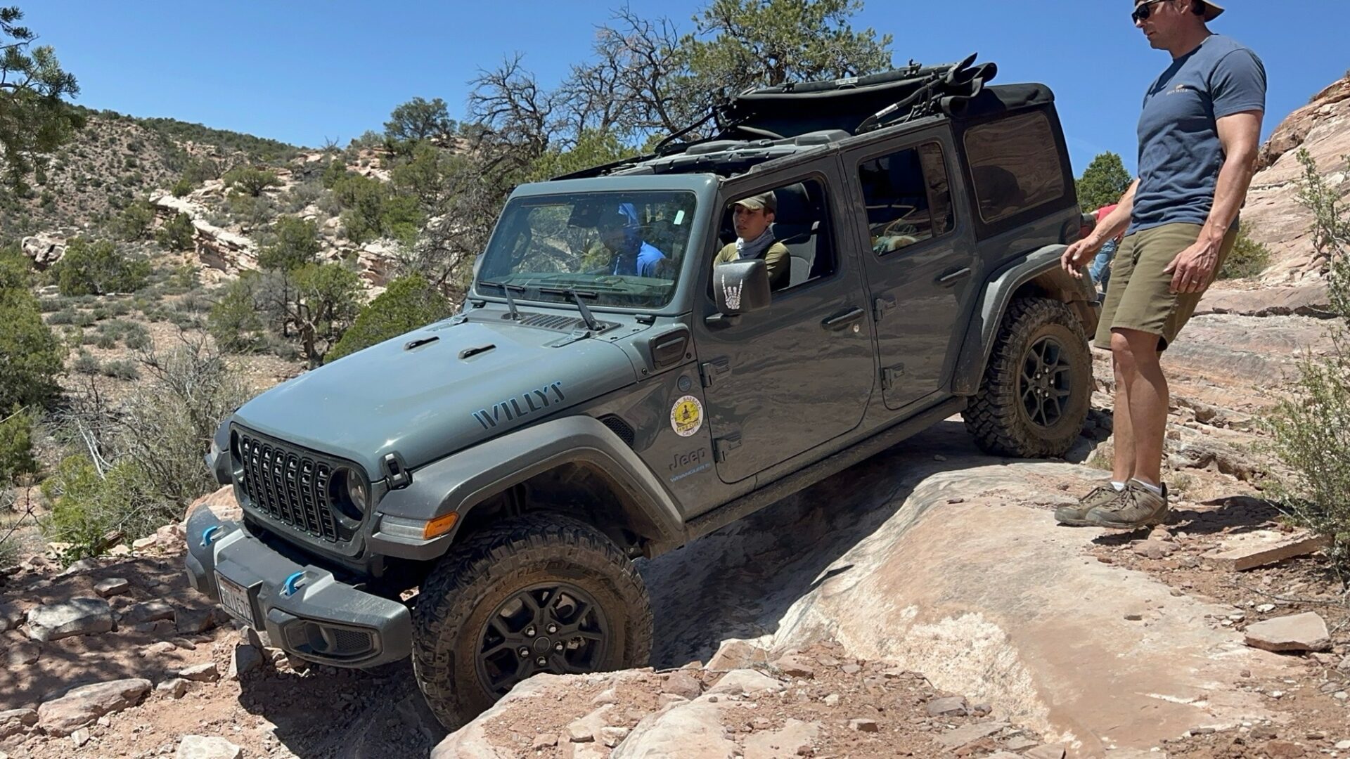
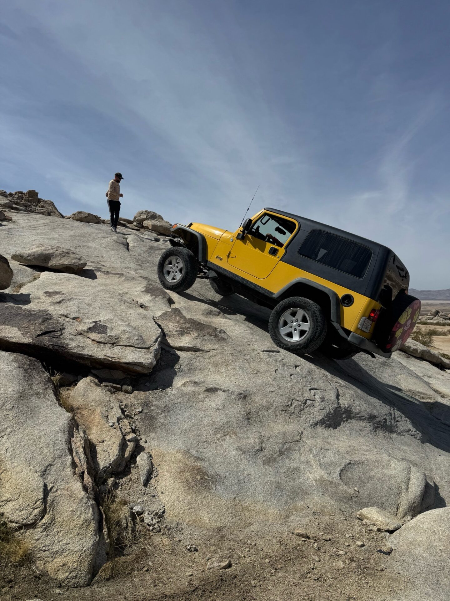
The first day we completed Hell’s Revenge. We started with all 9 vehicles, but one opted out towards the beginning. Bryan conquered Hell’s Gate (an optional obstacle
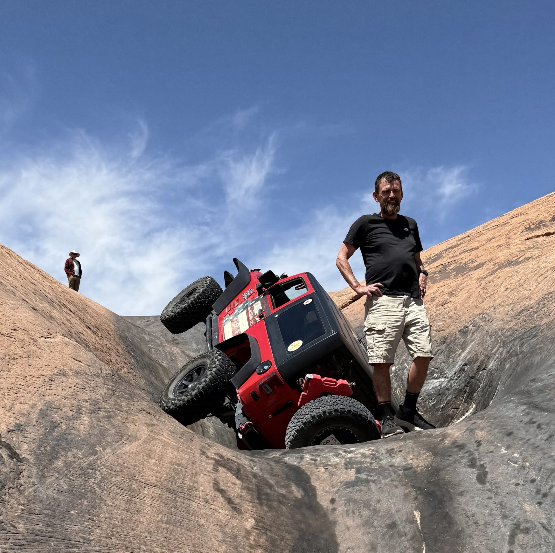
rated 8 out of 10) without even a spotter and made it look easy! Jim tried but did not conquer the Escalator (an optional obstacle rated 8 out of 10 as well) and ended up with two wheels in the air.
It was a difficult recovery, and oil had gotten into his engine, and it wouldn’t start. Everyone pitched in to repair it on the trail.
It took nearly 3 hours, but Jim was able to continue on without any help from outside of our group and with only minor body damage. Everyone enjoyed the steep ups and downs of the trail with no other issues.
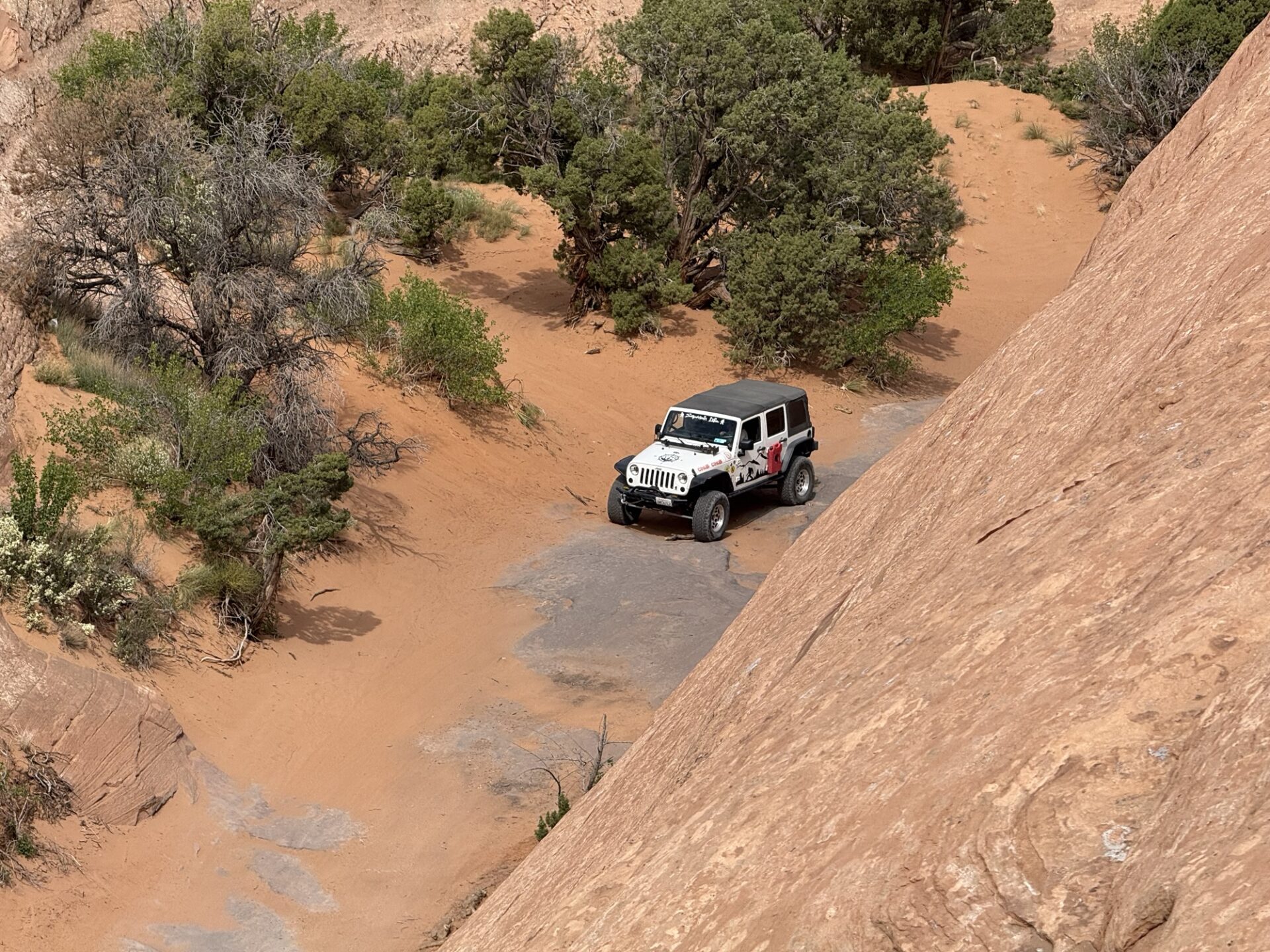
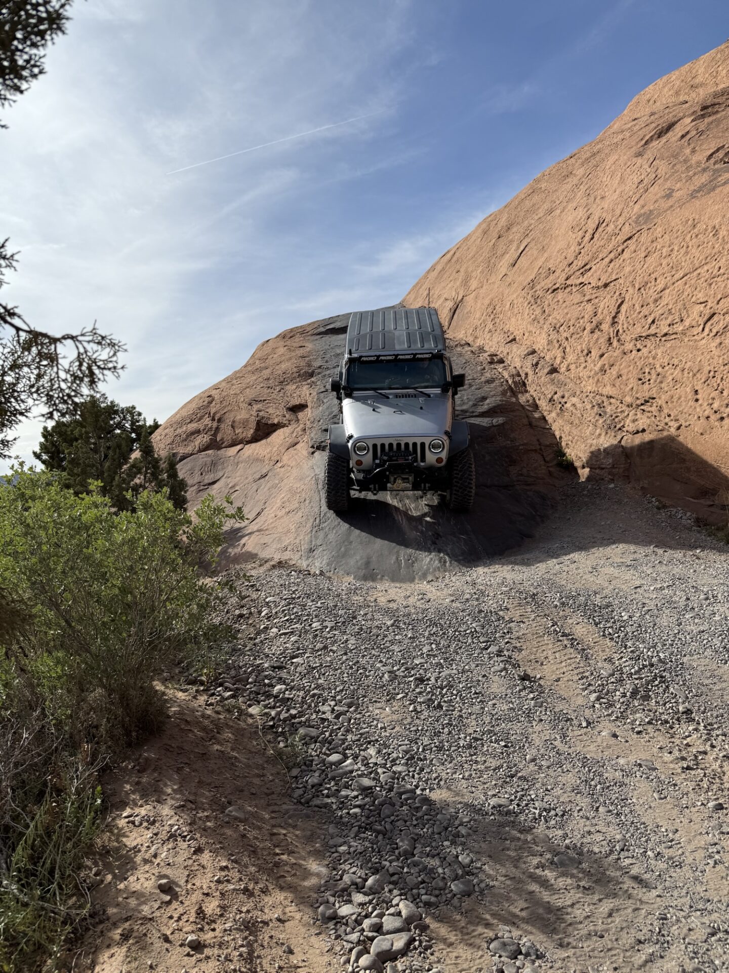
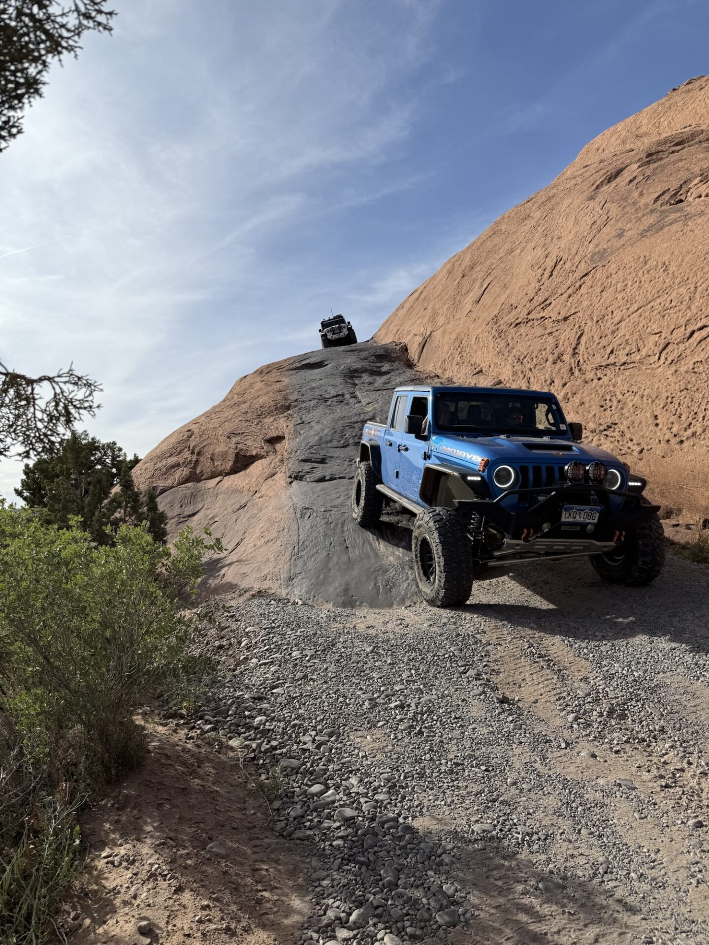
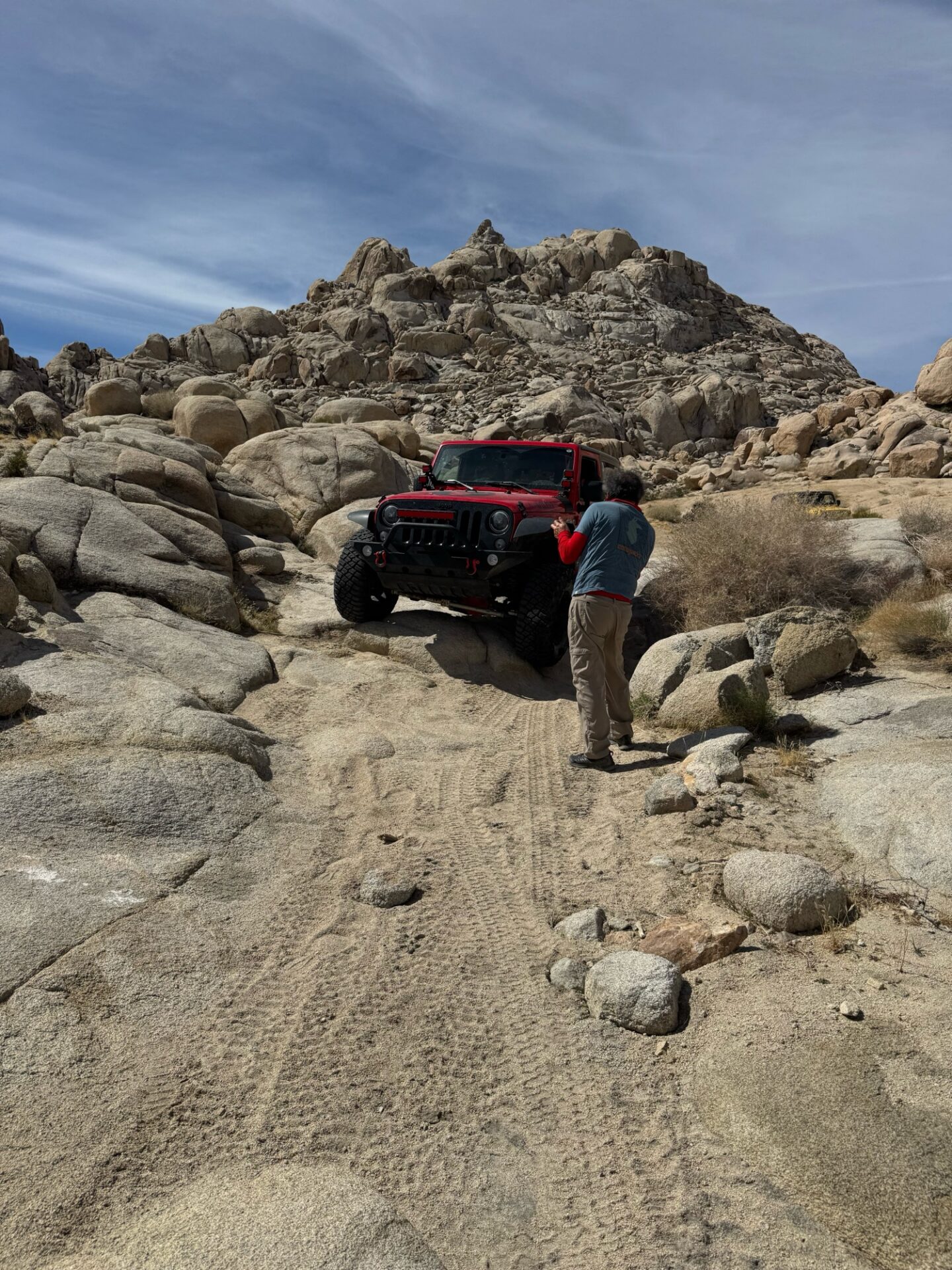
On day two 3 vehicles completed Poison Spyder and part of Golden Spike. This is a fairly challenging trail, but it had amazing views and fun challenges. One of the more fun and slightly scary obstacles was the launch pad.
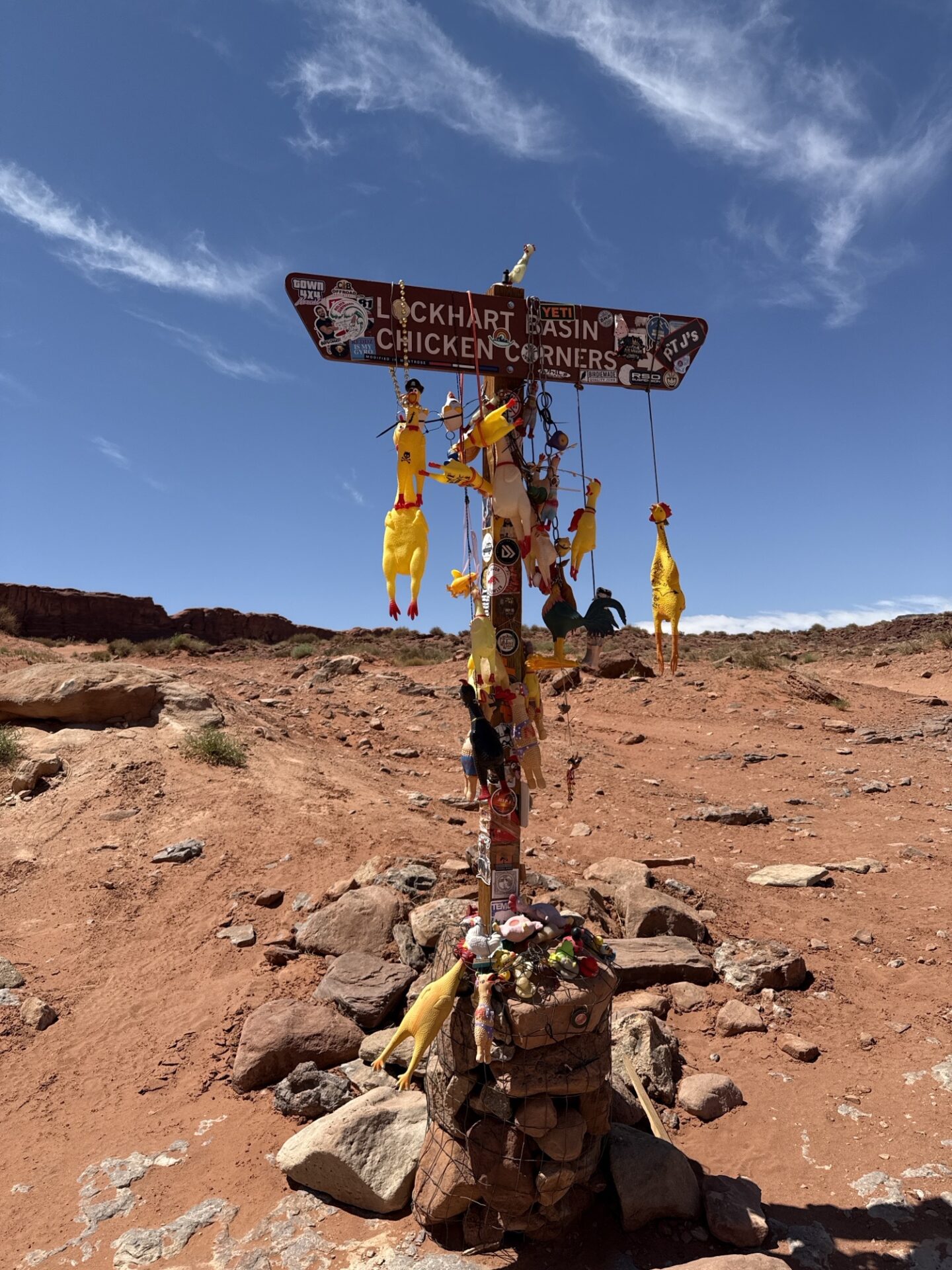
The other 3 vehicles completed Chicken Corners, a slightly easier trail, but no less scenic.
On day three in the morning 5 of 6 vehicles remaining completed Fins and Things (one opted to park and ride along).
A slightly easier trail than Hell’s Revenge, but similar ups and downs that kept the fun going non-stop. 2 vehicles had to leave mid-day, so the remaining 4 vehicles then completed Onion Creek, which was more scenic than difficult.
While we could hear another club member, Kristina at times in the same area, our paths never crossed.
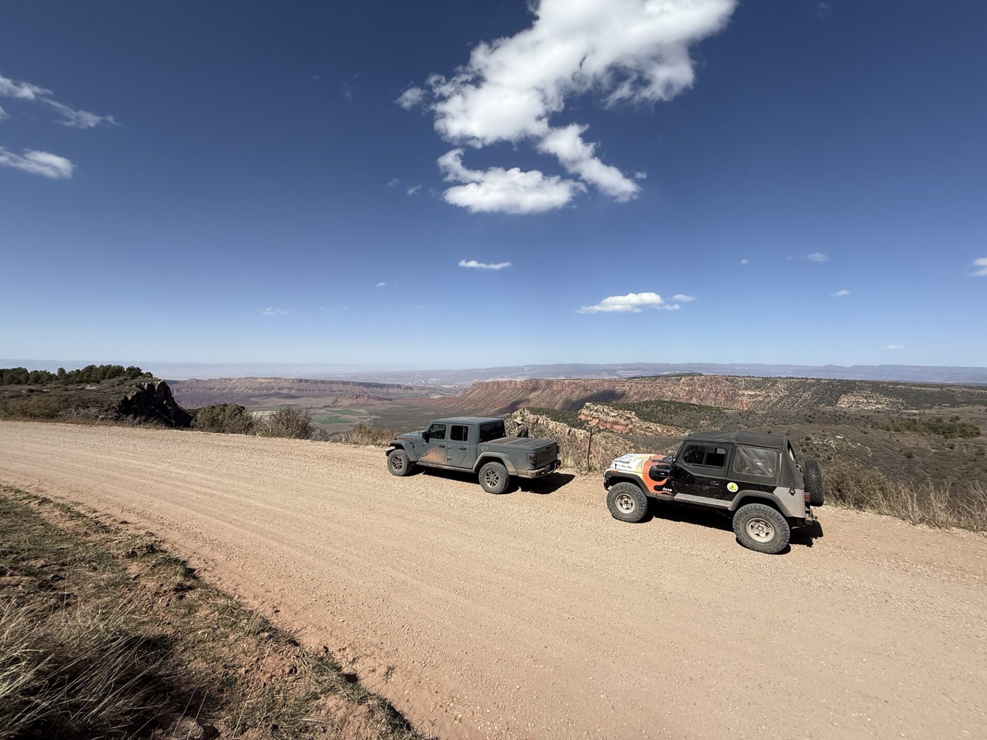
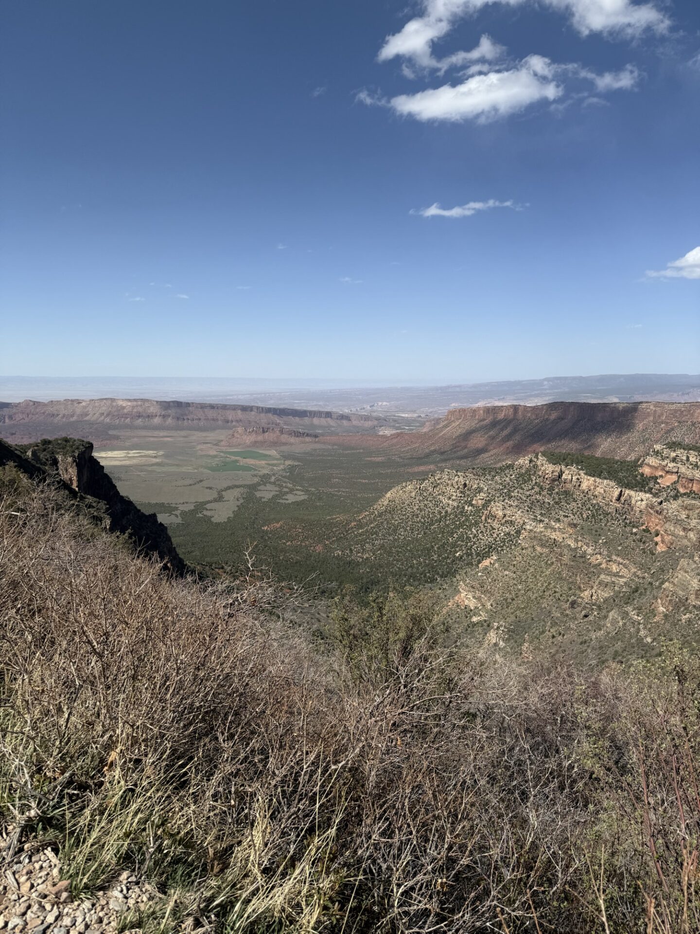
At one point we were at around 8500 feet and saw snow on the side of the road. We had views to the valley. This trail probably had the most memorable views since we were so high up and felt like we could see half the state from our perch!
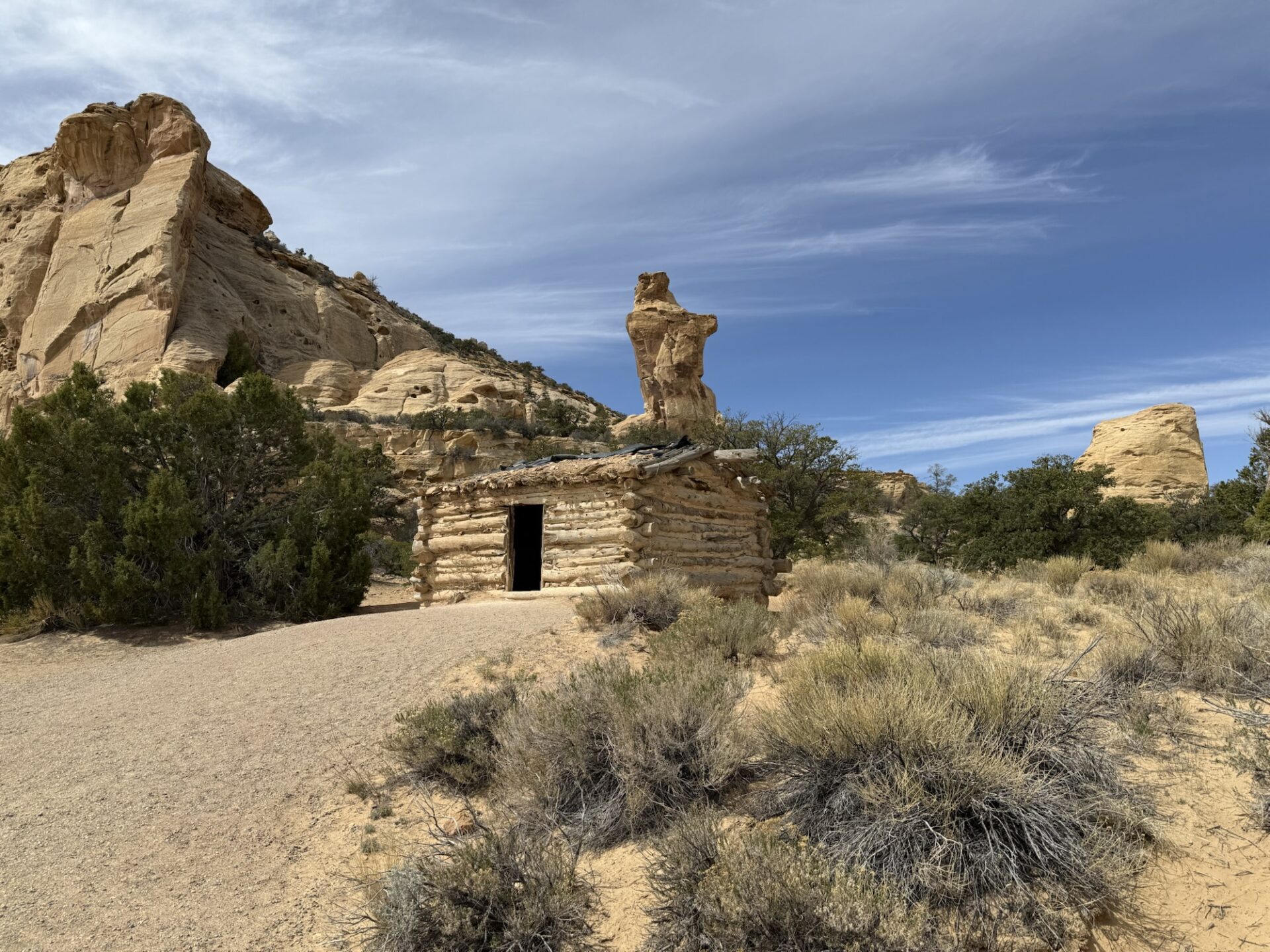
On the way home, a couple checked out Eagle Canyon, found a cabin and a fun 2 hour side excursion to the long I-70
Everyone made it home safely and had a memorable time!
Jim
Members, to see more photos and videos, look on the Members Only section of the website
I met up with Ralph, Sharadi and Bailey at the 150 offramp about noon Thursday and we headed off towards camp stopping in Mojave for fuel and snacks. When we arrived at Goler Heights George, Pam and Brian F were enjoying the shade next to Brian’s camper.
Ralph and I set up camp and then joined them in the shade.
It was warm but comfortable if you were out of the sun. There was some wind each afternoon but Ralph’s windbreak (motorhome) made it tolerable.
Later in the afternoon Matt, Steve, Brent, Sebastian and Julie arrived to join us.
Friday morning Dave, Bobbie and Joe got there in time to start the Friday run on schedule.
I think we had 10 rigs on Friday’s run and it was similar to last years route except for the trail boss getting a little lost toward the end.
We headed up Iron Canyon and stopped when Matt noticed an oil odor. It looked like it was coming from the transmission but seemed to be engine oil. All the fluids were full so we continued and made it up the steep loose shale hill without any problems. From there we continued to the top of the hill and then down a steep narrow ridge to Colorado Camp. Colorado Camp is just a fireplace and chimney now.
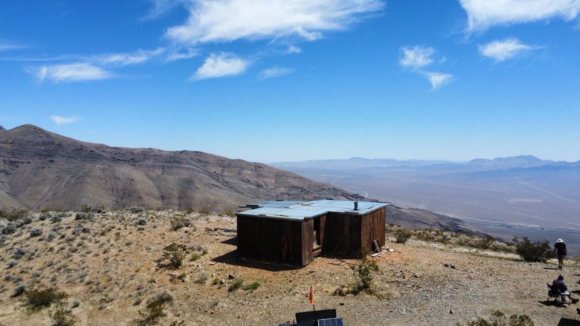
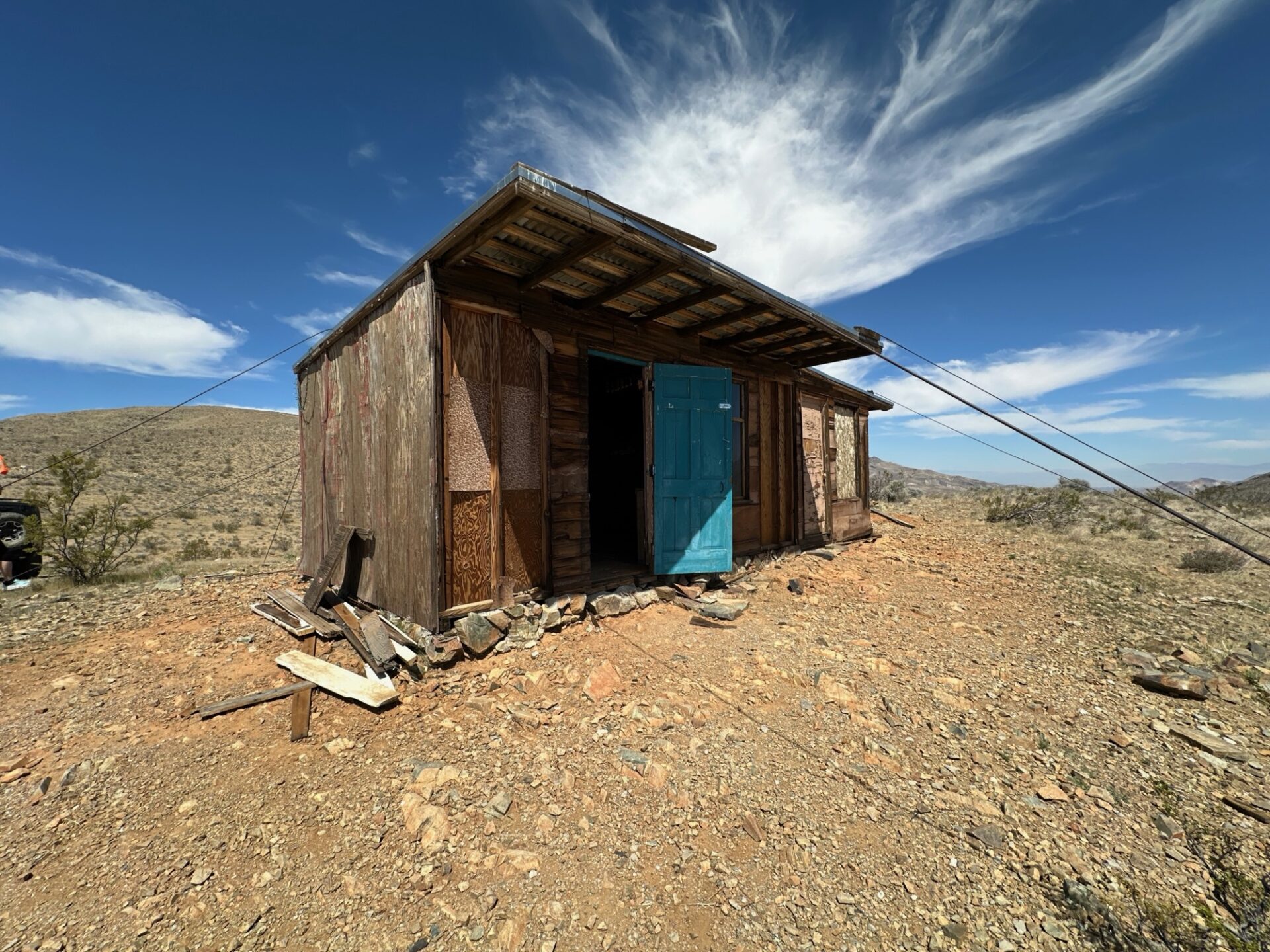
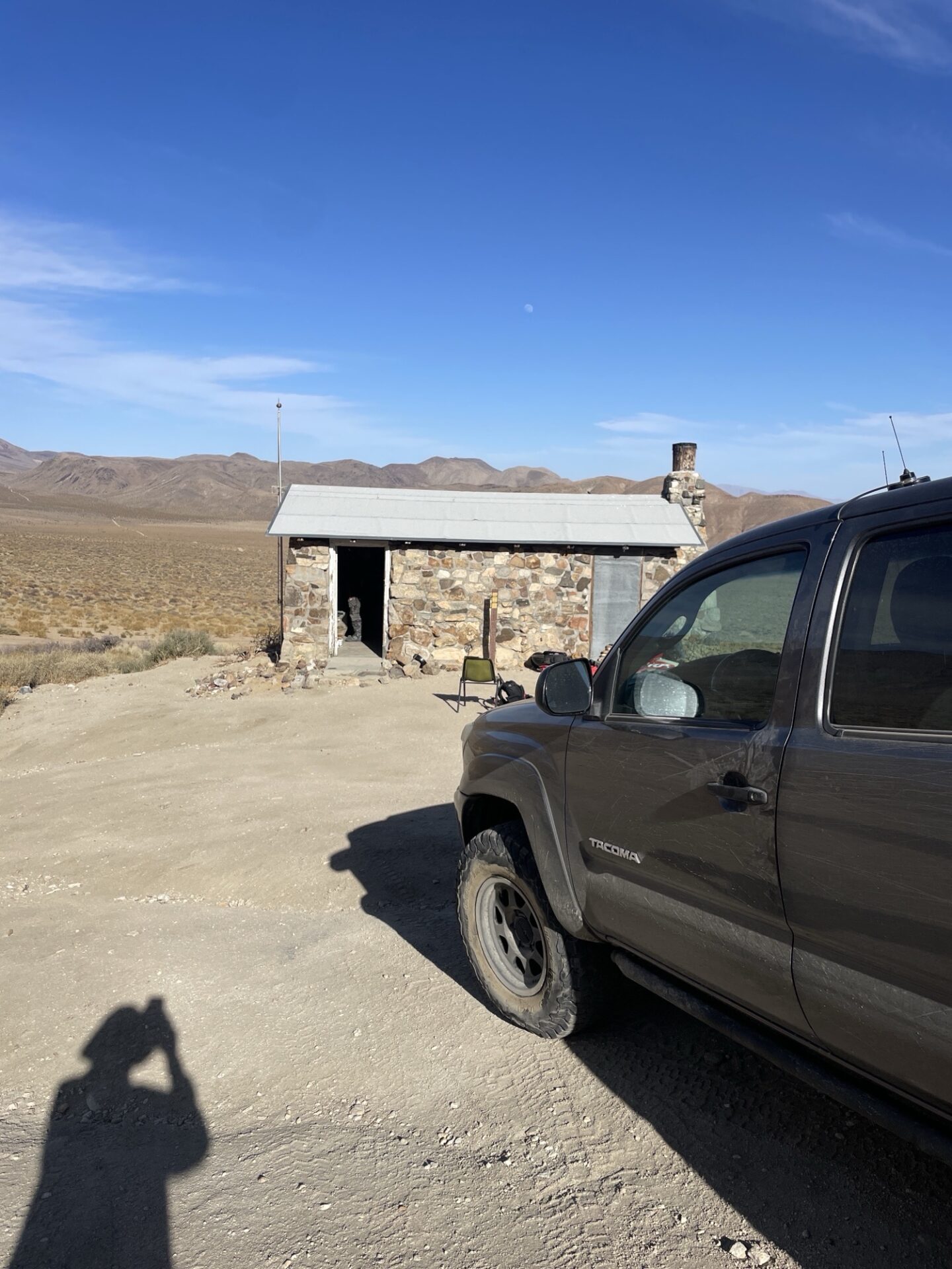
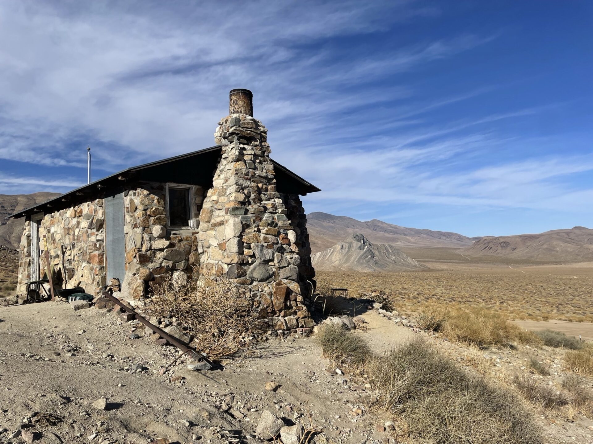
We continued south on Mesquite Canyon to EP204 and headed up to the Walsh Cabin at the top of the mountain.
This is a BLM stewardship cabin donated by Mike Walsh and Jim Jackson.
The views from here are spectacular looking south toward Mojave.
This spot is so windy that the cabin is secured with cables over the roof. We then went back down the mountain to Mesquite Rd and sent Matt down the canyon to the highway which was the quickest way back to camp.
The rest of us headed back to camp by way of Goler Wash and the Narrows. We stopped at Holland Camp before we got to Goler Wash. Holland Camp was first owned by Burro Schmidt but he got too busy on his tunnel project and sold it in the late 30’s.
There are several railroad tie structures, water tanks and a landing strip with sock still there.
From here to Goler Wash is where I took the wrong trail and got lost. We found some rocky off camber hills that some people didn’t seem to enjoy but finally made it to the Narrows and camp without much damage.
Saturday morning we started the run with 11 rigs. We had lost a couple of members that were worn out from the Friday run but added Ken, Bryan S and Bryan K with Blake.
We headed up the highway and entered Last Chance Canyon. I was in front so I didn’t see all the action behind me but we did stop a few times to regroup..
I think Sebastian had to be winched over a rock and scraped his bumper coming off the ledge road. Julie did say they were having a problem with low range or traction control.
Bryan S was the only one to attempt the notch and made it with only a slight fender scrape.
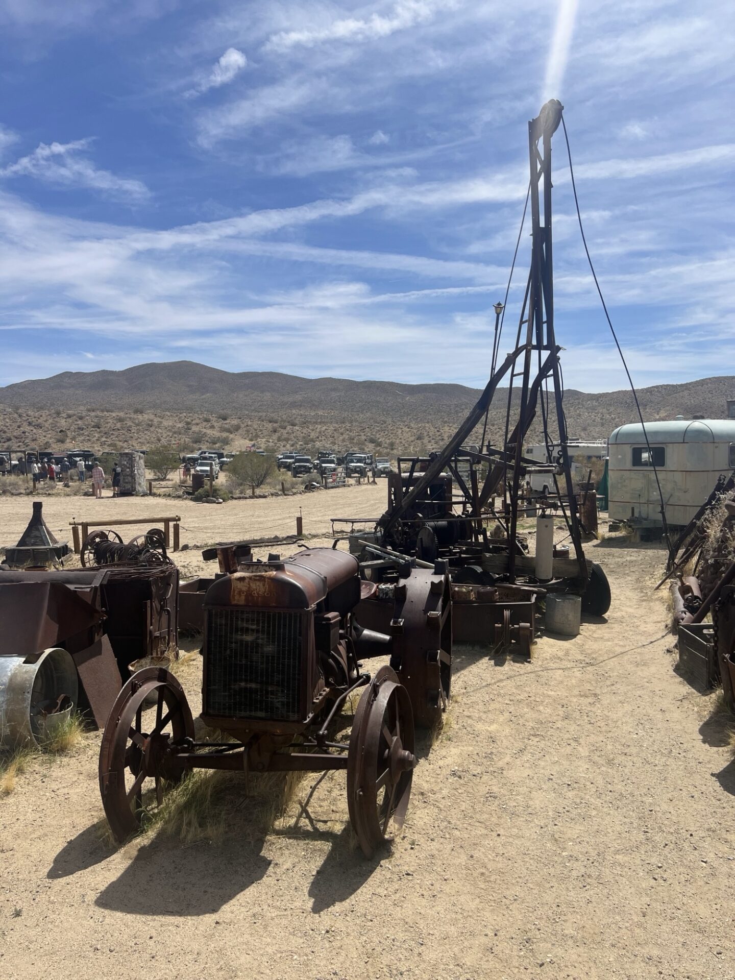
We had lunch at the Dutch Cleanser Mine.
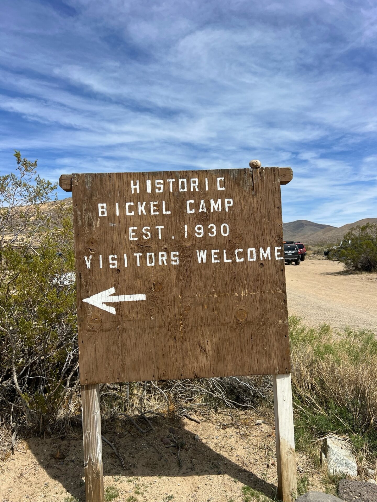
They mined Calisco pumice here which left massive caverns along the ridge of the cliff. After lunch we headed east past the Holly Ash Mine, the reconstructed Post Office and down Bonanza Gulch to Bickel Camp.
Bickel Camp was established in the 30’s by Walter Bickel and is still run as a tourist attraction by his family and volunteers. The camp is pretty much the same as the day he left it.
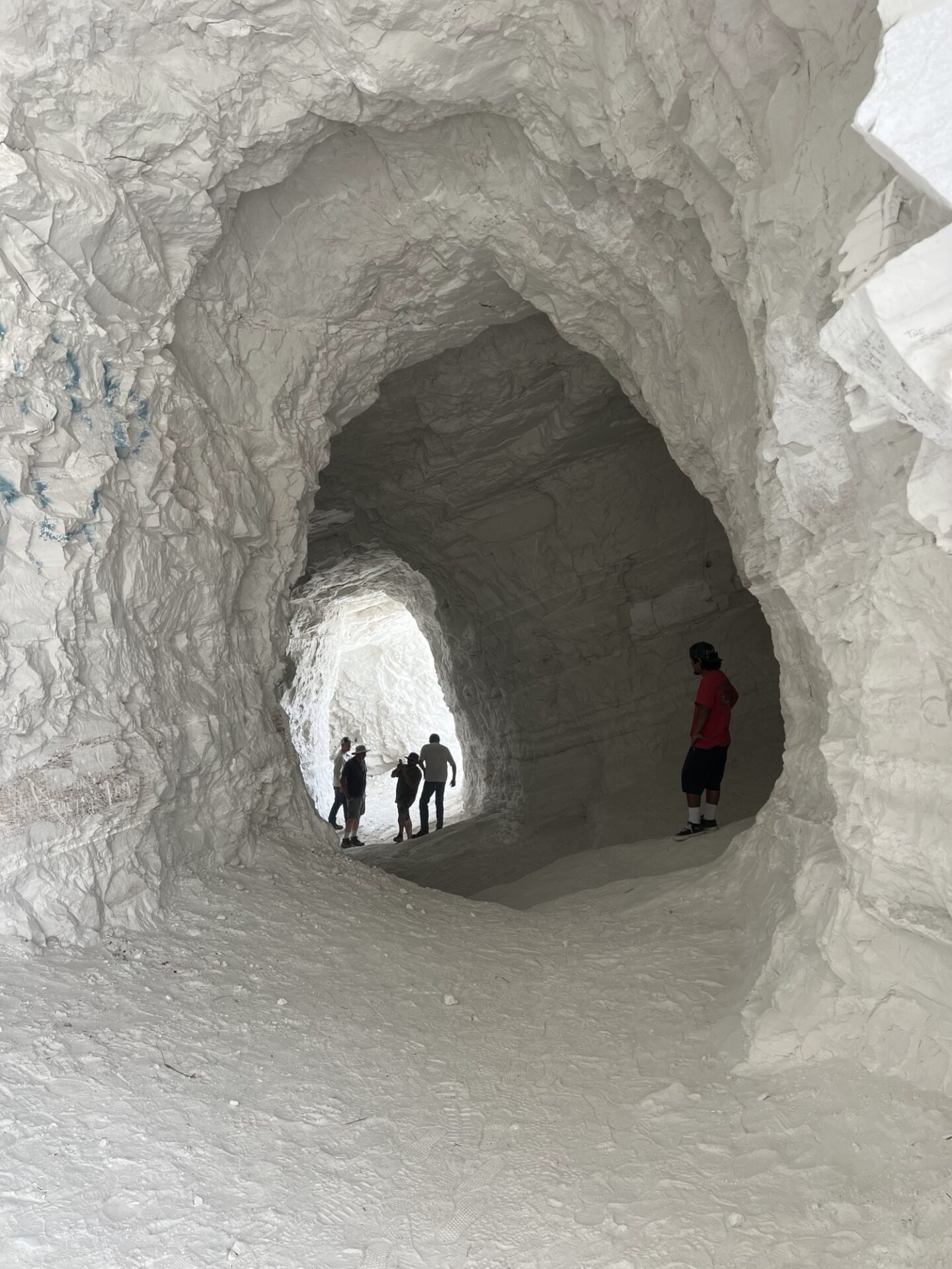
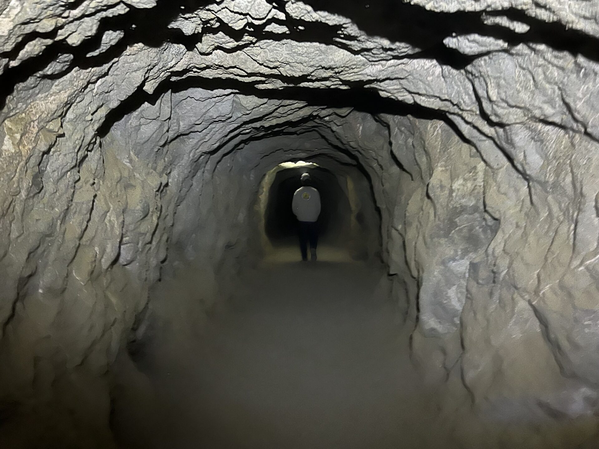
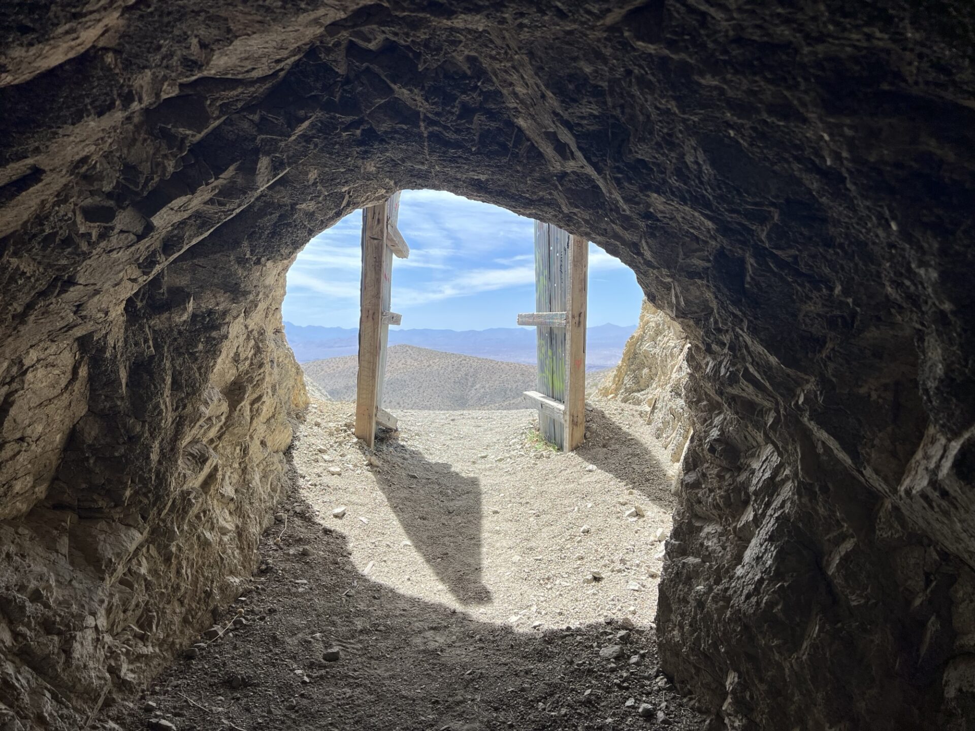
Next we headed across the valley to Burro Schmidt’s tunnel. I took the trail that went to the top of the mountain and dropped down to the tunnel from above. Several of us went through the tunnel and I still have the scabs on the top of my head to prove it.
There are many theories as to why he dug the tunnel but my guess is that he was just crazy.
At this point I made 3 suggestions on routes back to camp and we decided to take the fastest route down Mesquite canyon to the highway. Bobbie and I needed gas so we decided to go into Jo-burg to fuel up and then ended up at the Joint in Randsburg. Bryan S and Bryan K joined us there for a well deserved beer.
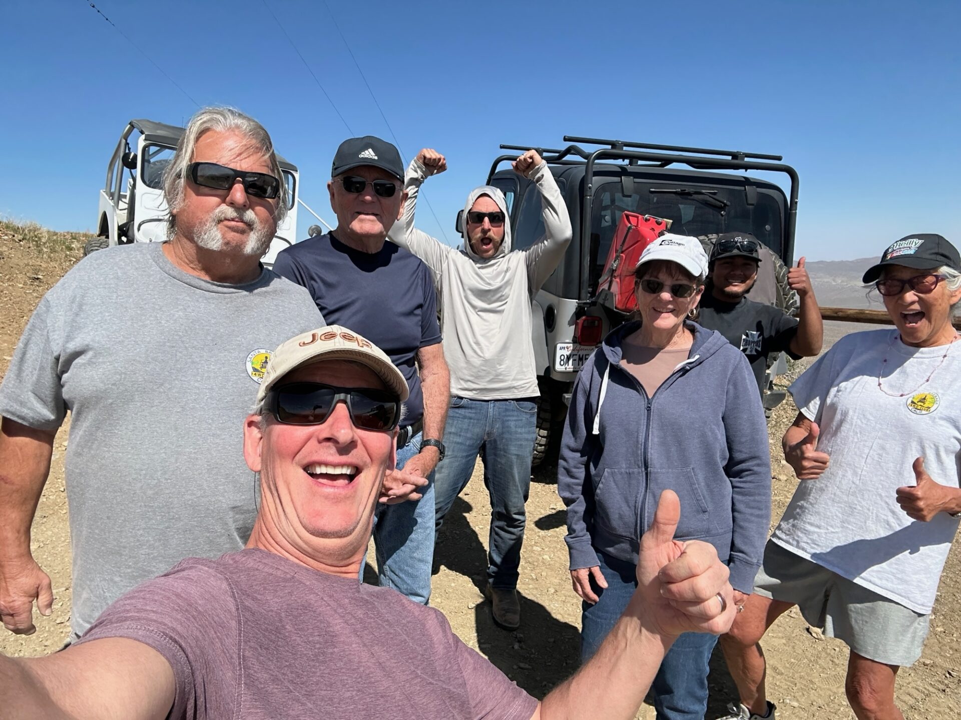
Sunday several people packed up and went home but Brent, Brian F, Bryan S, George & Pan, Bobbie & Joe and I headed to the towers on Government peak, We took the fun trail with some challenging dry waterfalls and made it in record time of just over an hour.
We had to do some rock stacking but everyone made it with no visible damage. It helps to have a small group of capable vehicles on this trail. We continued east from the towers then looped through Randsburg back to camp.
I want to thank everyone who joined me on this weekend adventure. I hope you’ll forget the pucker moments and join me again next year. This is a fun club and I never felt I was herding cats.
Dick
For more (200+) photos and video, see the Members Only section of our club website!
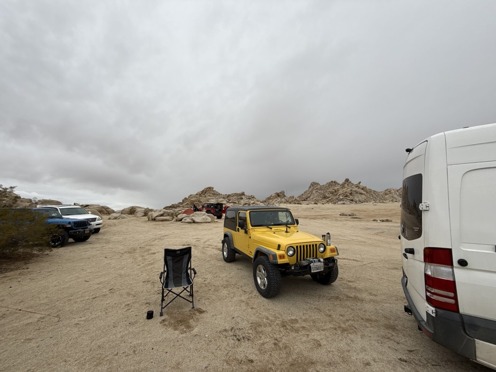
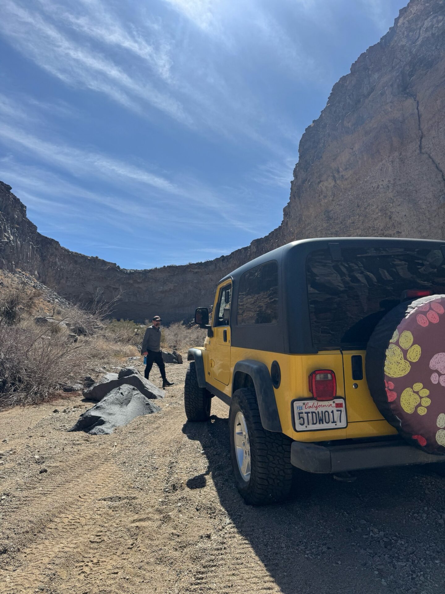
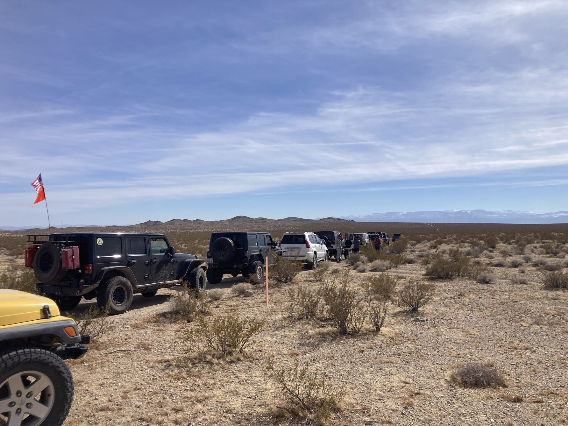
A dozen Club Members embarked on an exploratory run in/around Cougar Buttes and the areas north and east. The weather forecast gave us pause several days in advance, yet we attempted to press on.
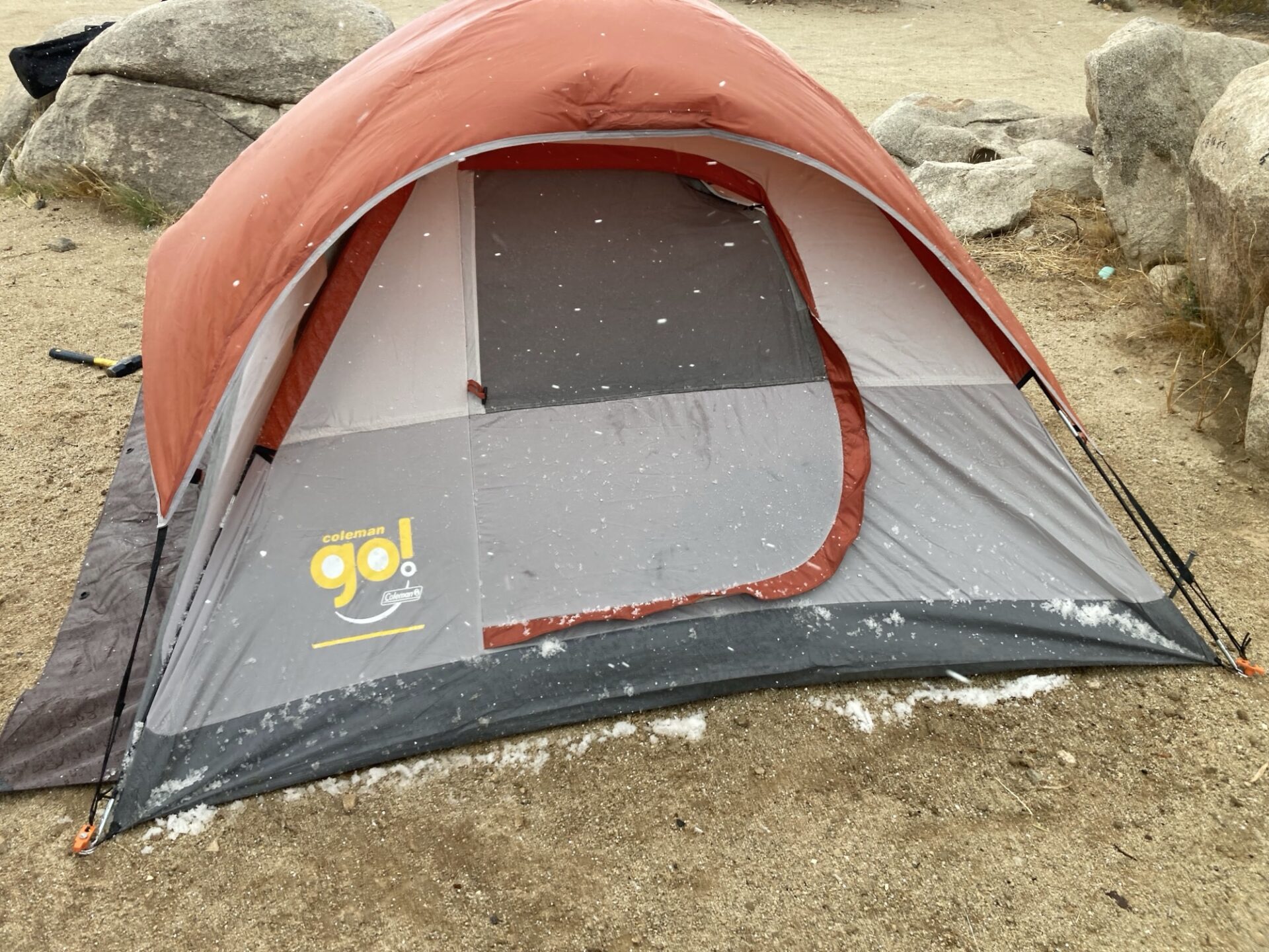
Jim was one of the first to get his tent up, just in time for the first batch of hail.
Thursday and Friday nights were far below optimal camping conditions given the strong winds (two tents were damaged over the weekend by the winds), yet daytime runs were still outstanding
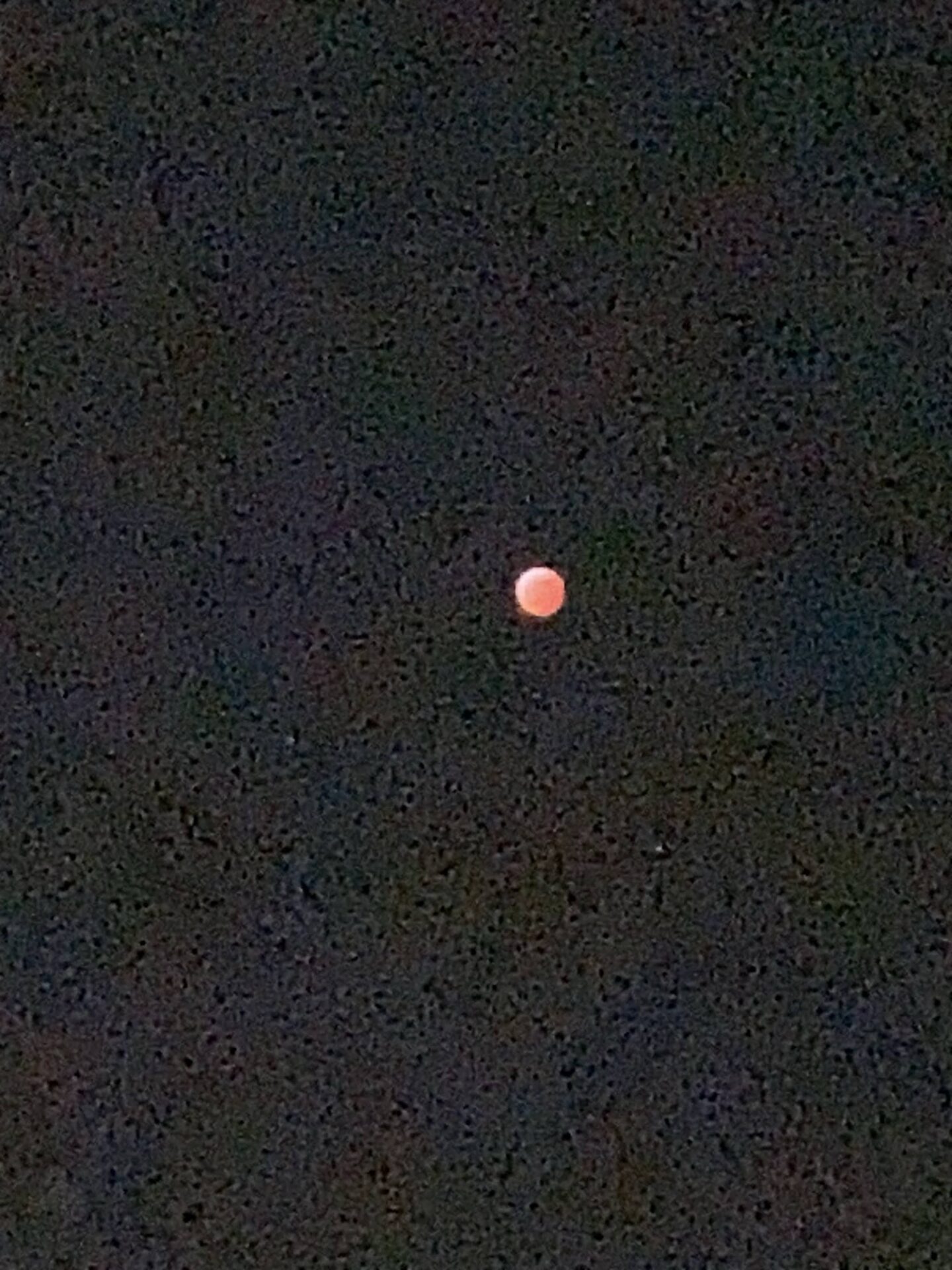
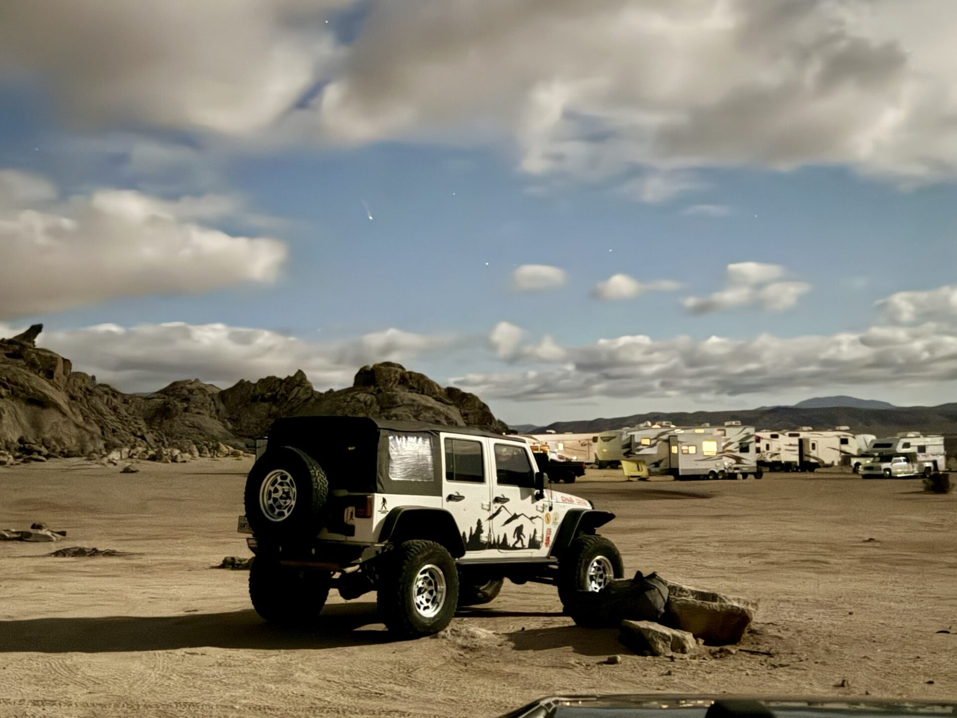
Thursday evening did allow for a good view of the lunar eclipse.
Friday was dedicated to the local rock formations and sand plains. This allowed the group to grow as more arrivals landed
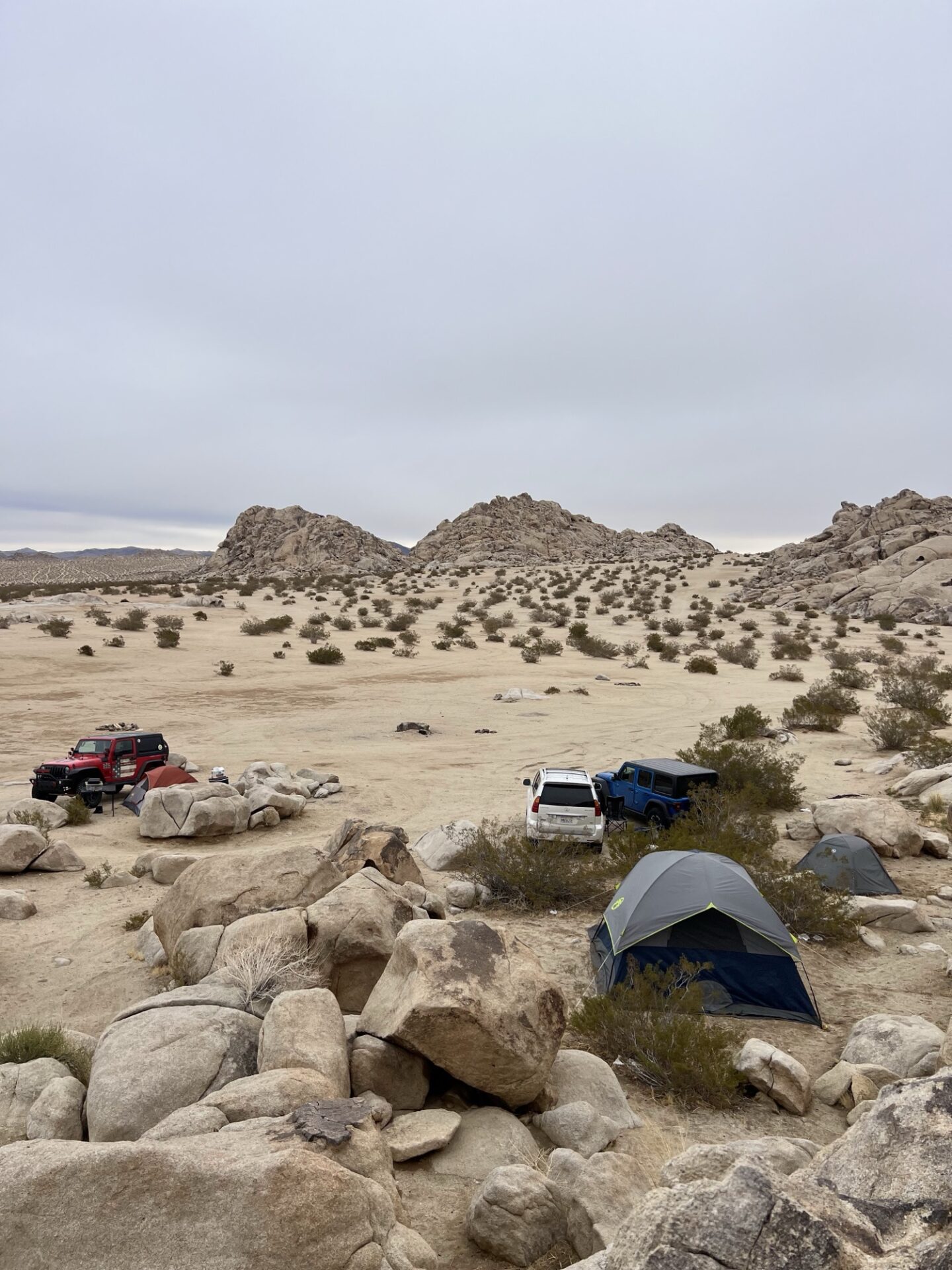
By the end of Friday, everyone who could attend was in camp. Unfortunately the winds limited socializing. We observed multiple large campers in the area with our crew being the only one biased towards tent shelters.
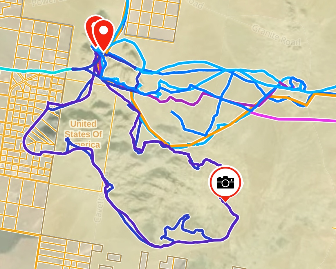
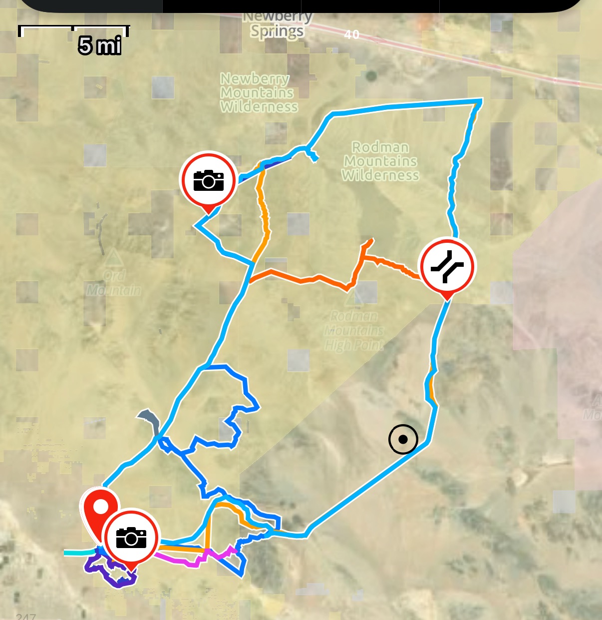
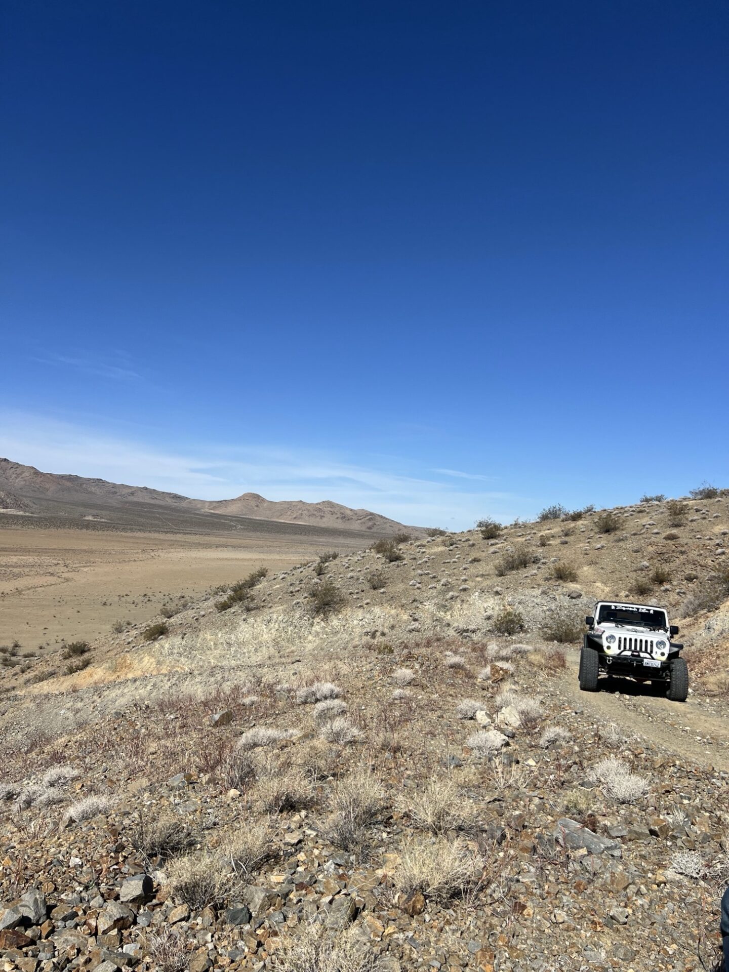
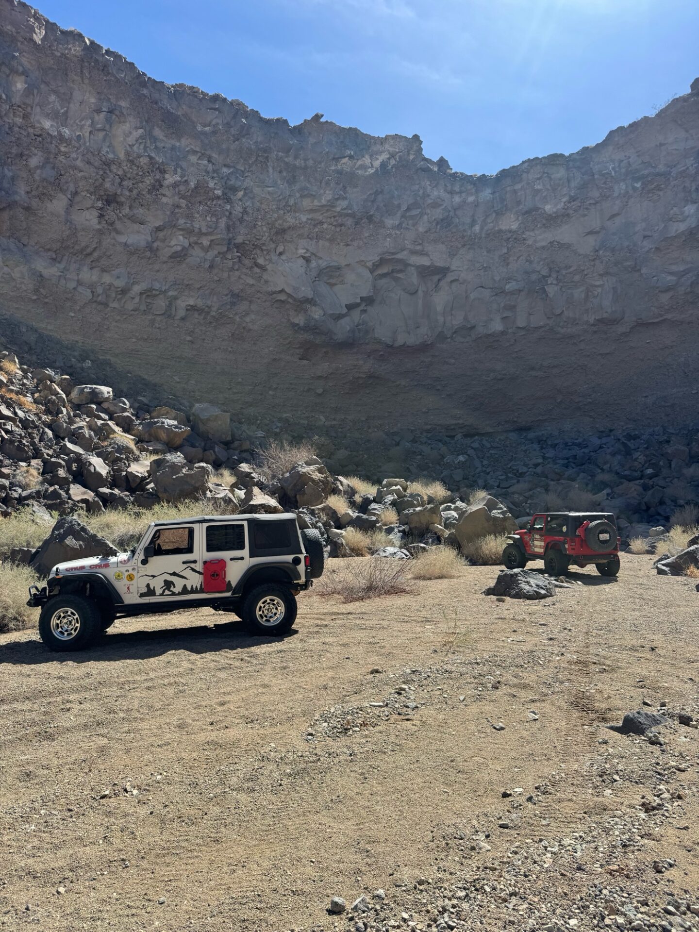
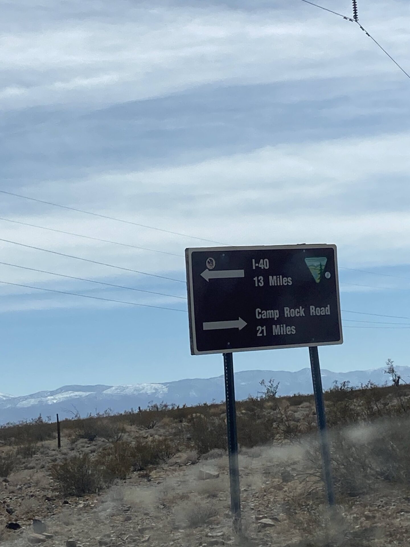
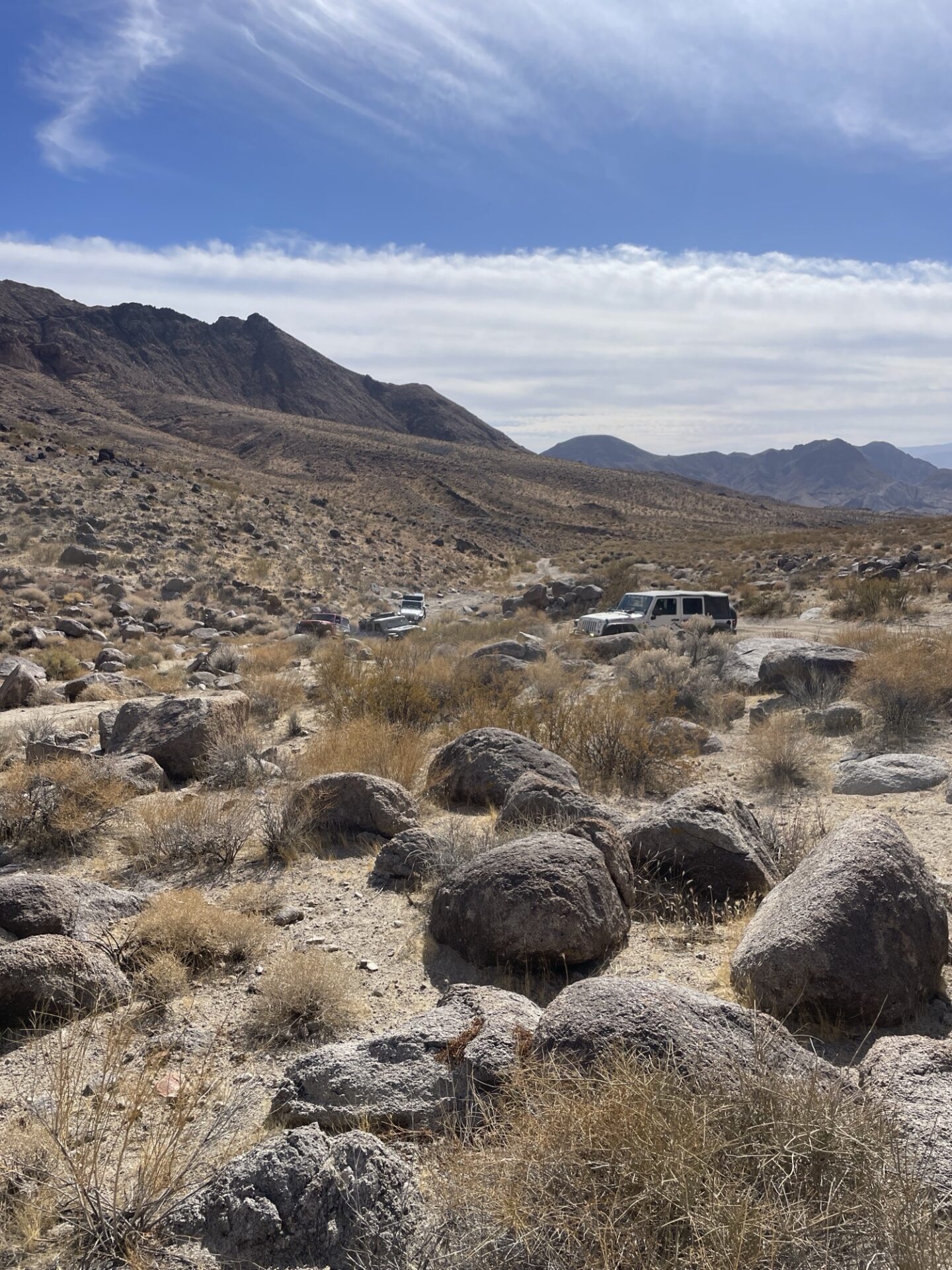
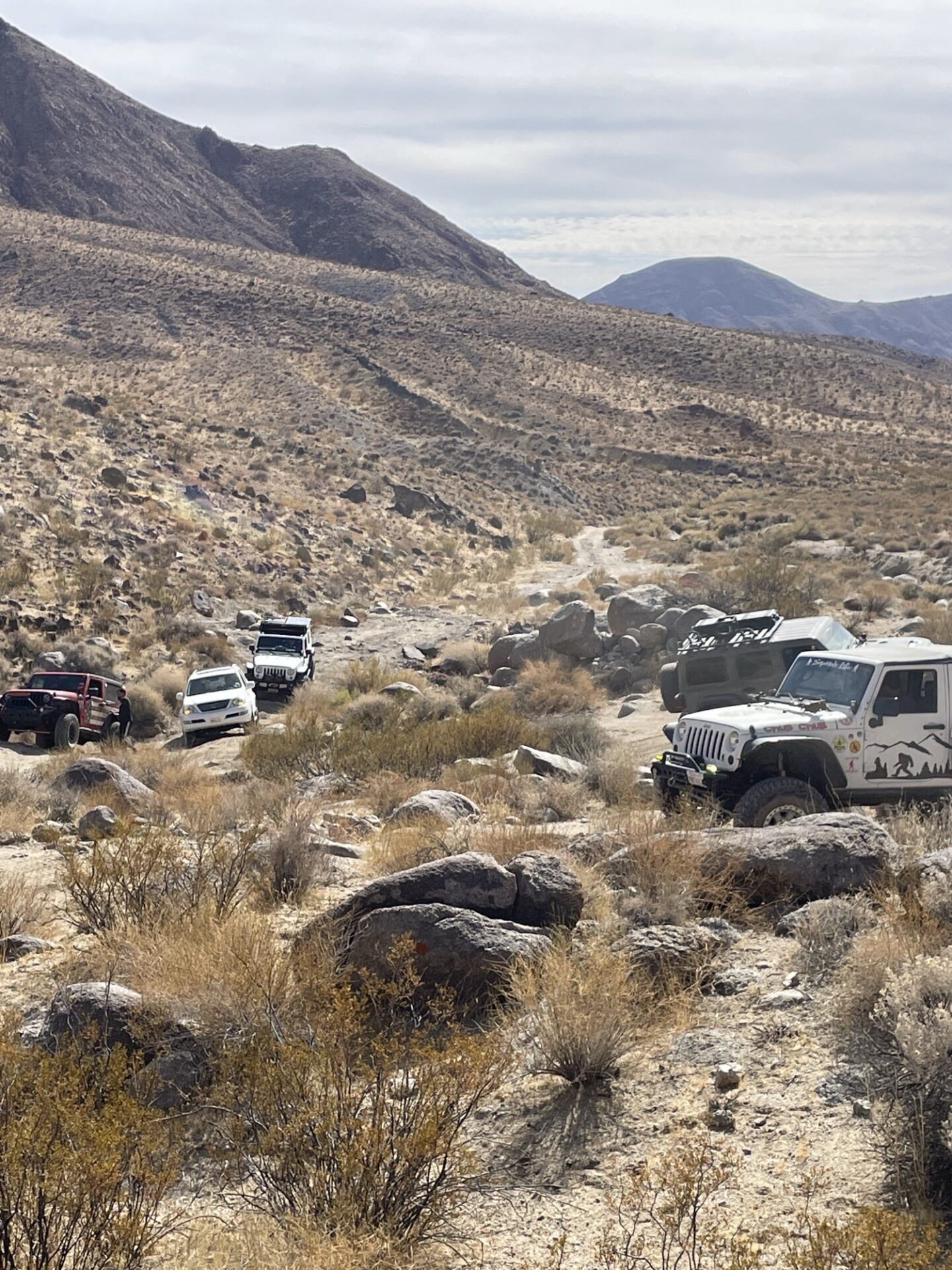
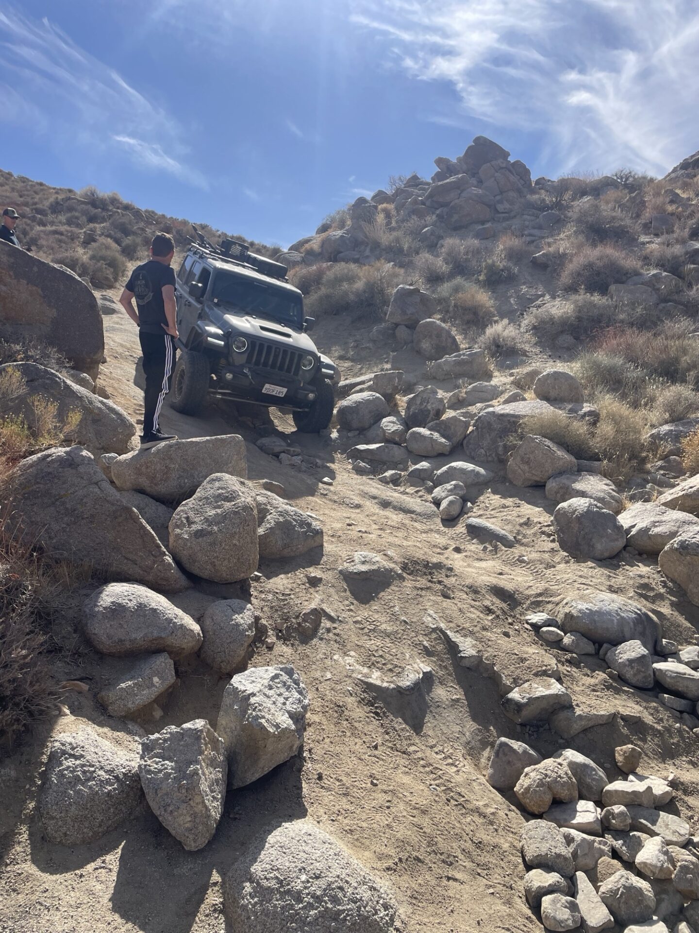
Saturday the run was a long loop to the north and east. This extended beyond the Johnson Valley OHV areas onto a variety of public lands. In total we covered over 70 miles.
After a lengthy gravel road section we broke west into open rangeland. There was an abundance of indication cattle had recently been there, but none today. This connected us to an access road along a high pressure gas line. This included some shale climbs, loop trails and a little wash driving.
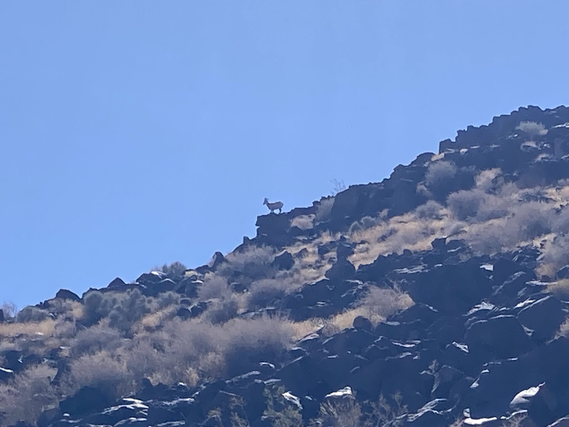
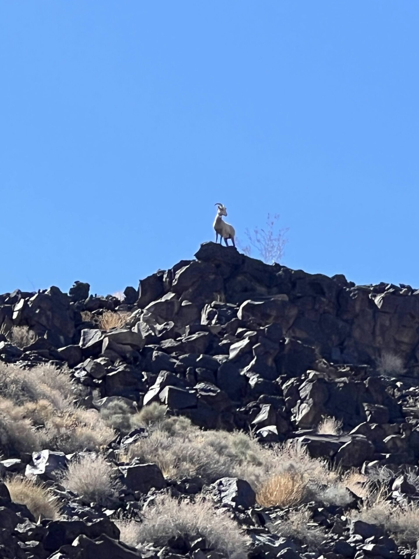
The geology was changing as we pushed north, encountering volcanic layers and some eroded canyons. We noticed a big horn watching us from above, the first we had seen in this area.
For lunchtime we checked out a box end canyon where the volcanic layer has held up allowing the erosion to collapse the canyon wall below almost in a concave fashion.
After lunch our path took us far enough north to view the truck / train traffic along I-40. We needed to loop around a wilderness reserve area. The trail back south brought us through sand washes bisecting volcanic flows.
As we crested and tipped back down towards Johnson Valley, Danny was able to connect via radio with friends down by the King of the Hammers site.
Eventually we decided that half the group would work their way south and east to check out the KOH site while the other half turned west and returned to camp.
For several, the prior night’s brutal winds had us questioning that a comfortable evening and a fire would follow. Since we needed to leave early on Sunday anyway, several bugged out. The crew back from KOH did benefit from improving conditions and were able to have a fire and enjoy some local fireworks.
Those who stayed into Sunday did get some more Butte climbing, good times had by all accounts
Thanks again to everyone who came and explored the area. I think this gives us plenty to consider for future runs in this area.
Check out the full photo and video album stored in the members only section of our site. We have over 125 contributions and growing
For the second year in a row a small group of Club members opened the season with a trip to explore Panamint Valley the second weekend of February.
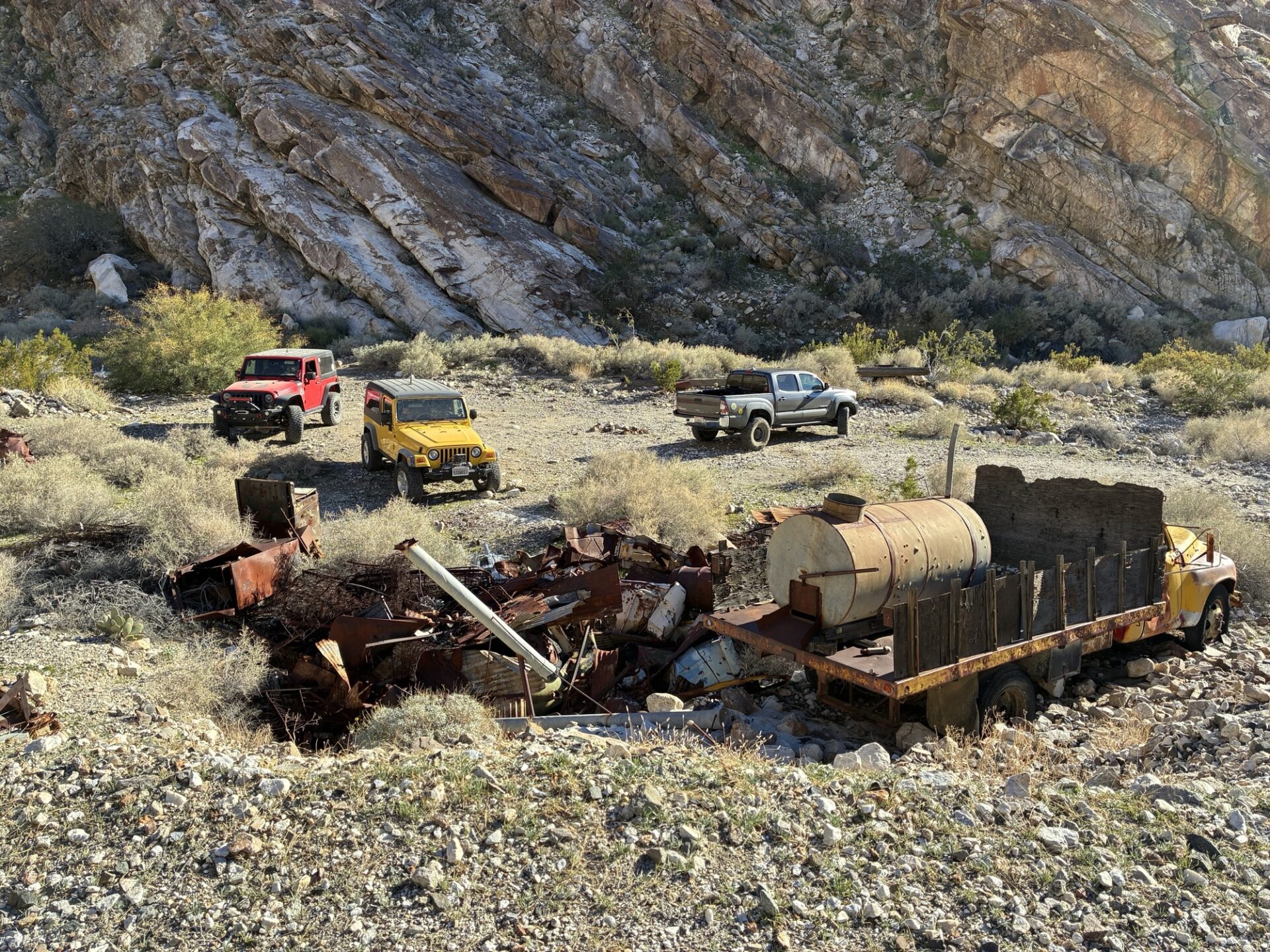
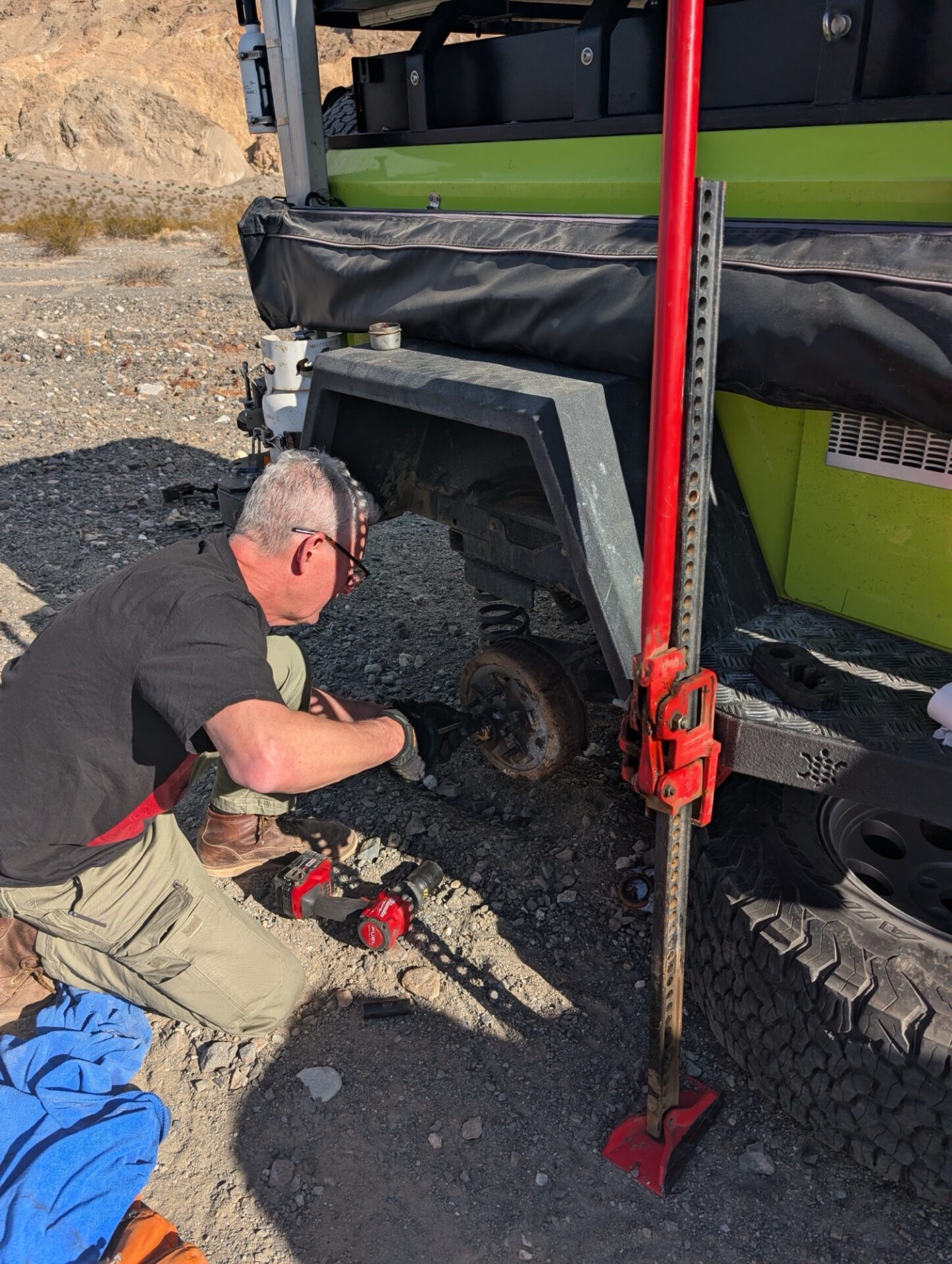
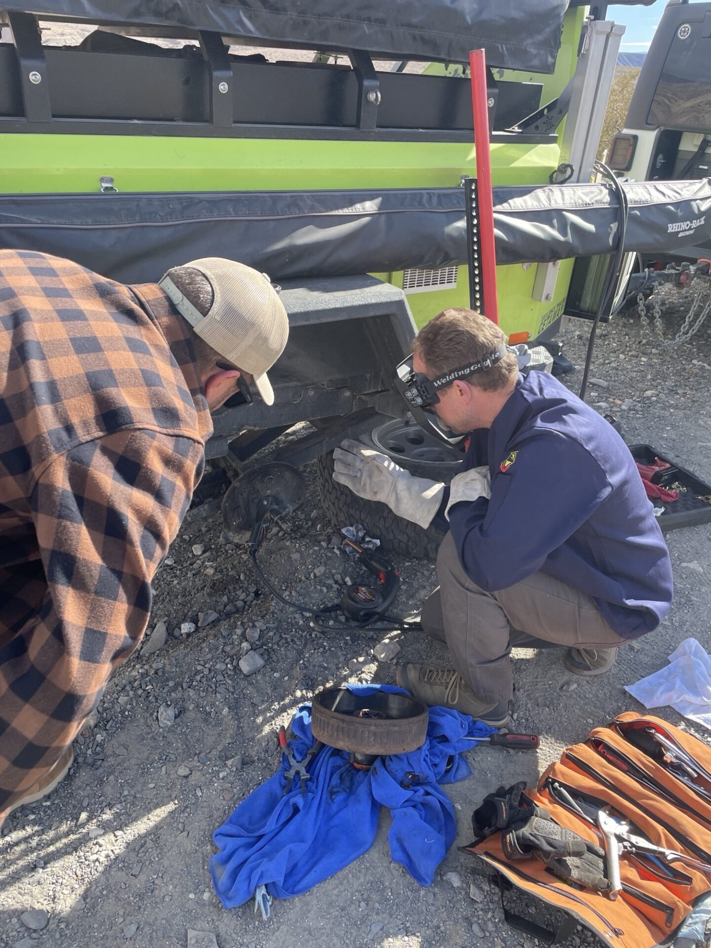
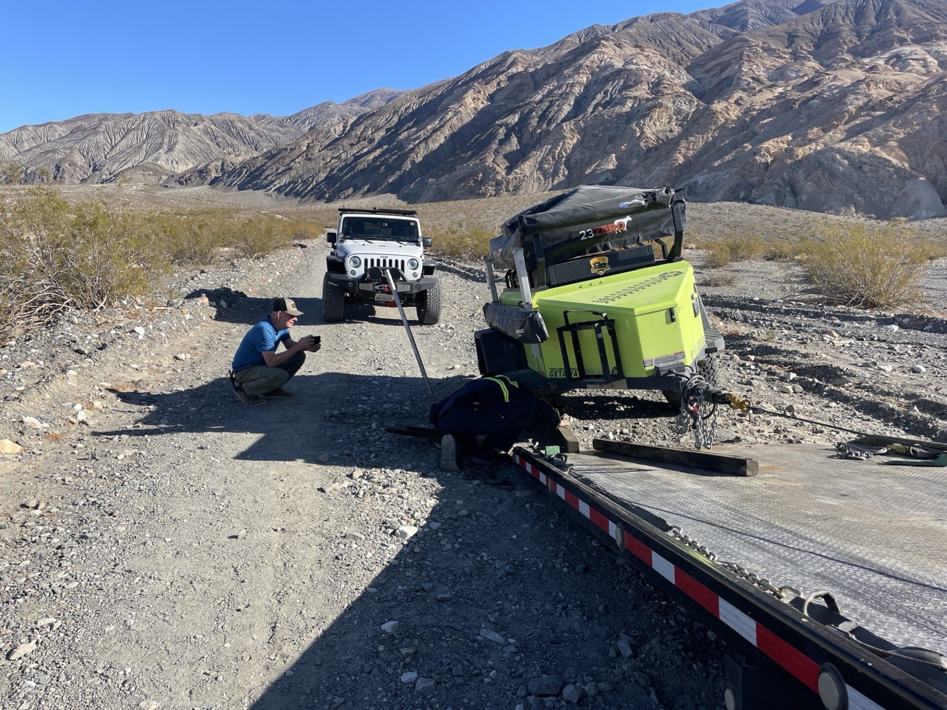
Fernando, Brent and Jim arrived first to a campsite near Surprise Canyon, and just as we were arriving Brent’s Turtle trailer suffered a catastrophic axle failure! Bryan and Oliver arrived just in time to help attempt a repair to limp it to the road, but despite Bryan’s best efforts with the Club welder the axle didn’t hold.
We unloaded the trailer and set up camp, with Brent spending the weekend in the group tent brought to stay out of the strong winds expected for the first few nights. Brad showed up later in his fancy Lexus. The winds arrived as advertised.
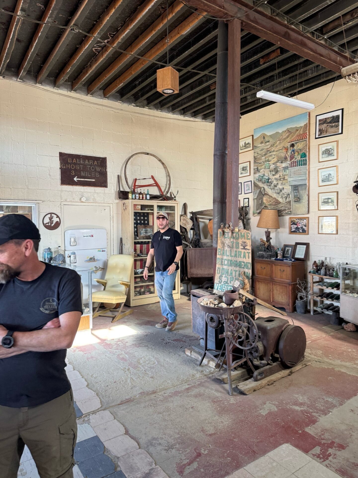
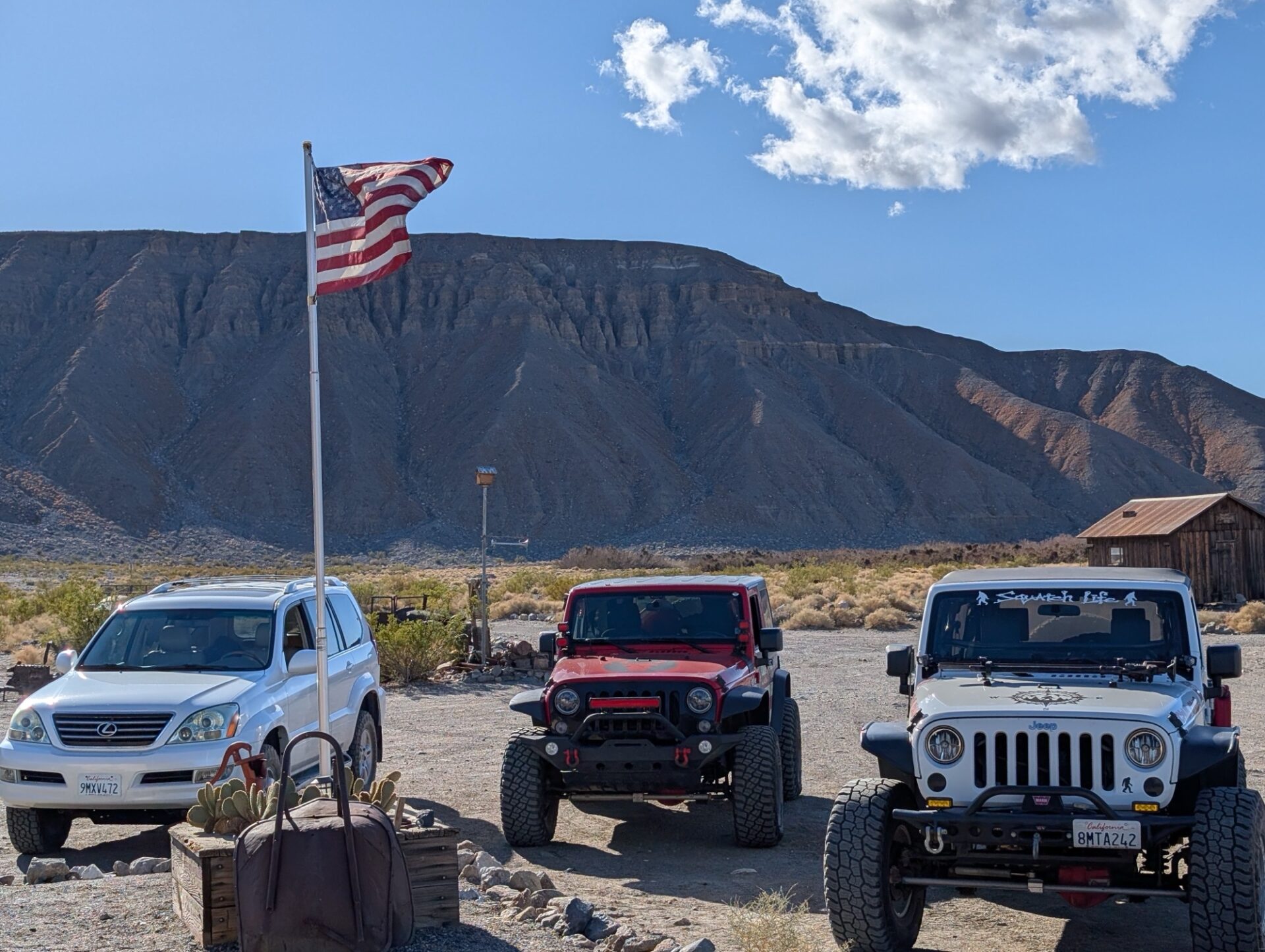
On Friday, while Brent followed his trailer to a shop in Ridgecrest the rest of the group first stopped in at the Ballarat general store.
After checking out Ballarat the group ran the Fish Canyon/Escape Trail, a historic route where Manly led his expedition out of Death Valley. This was a new trail for all of us.
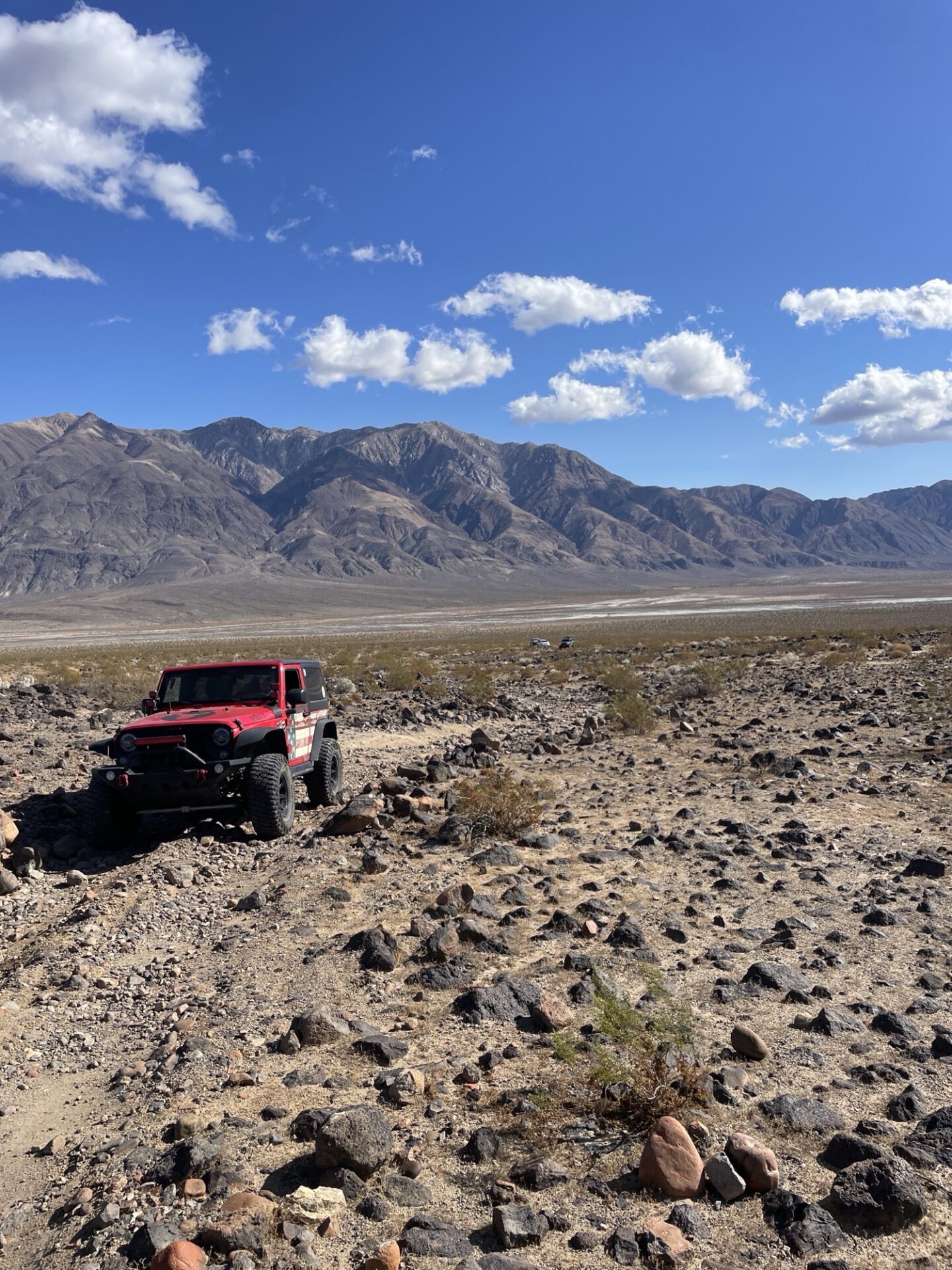
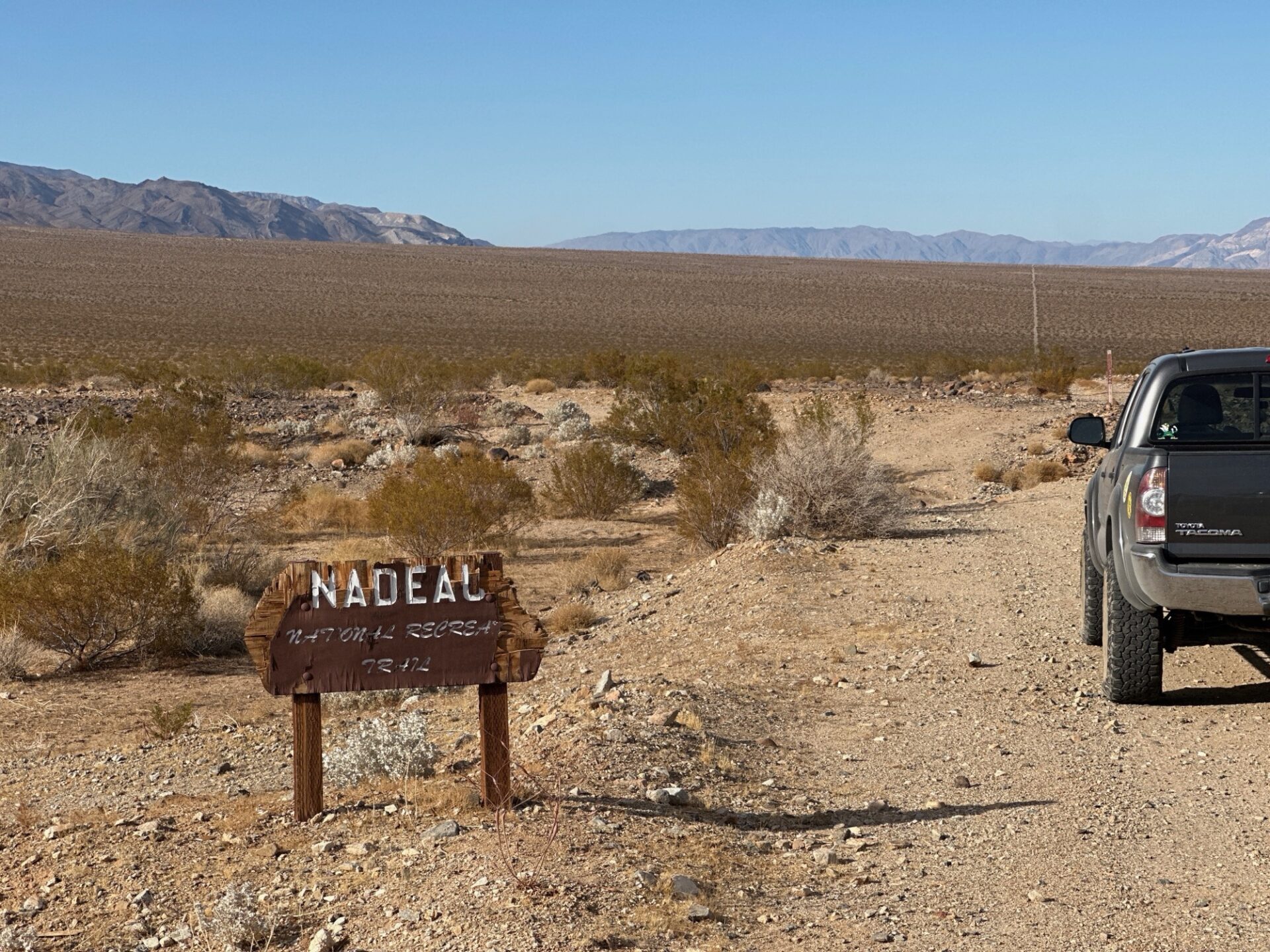
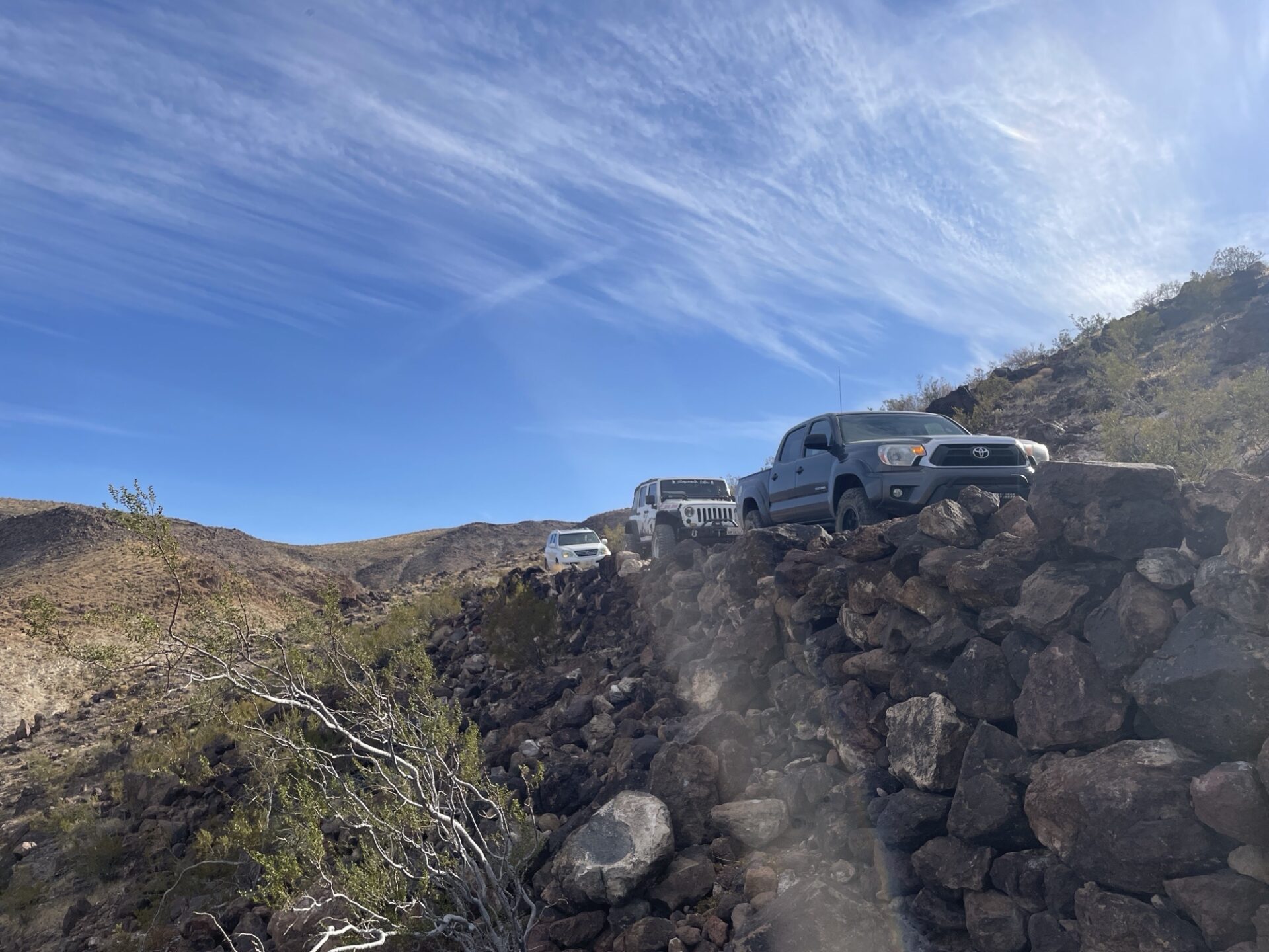
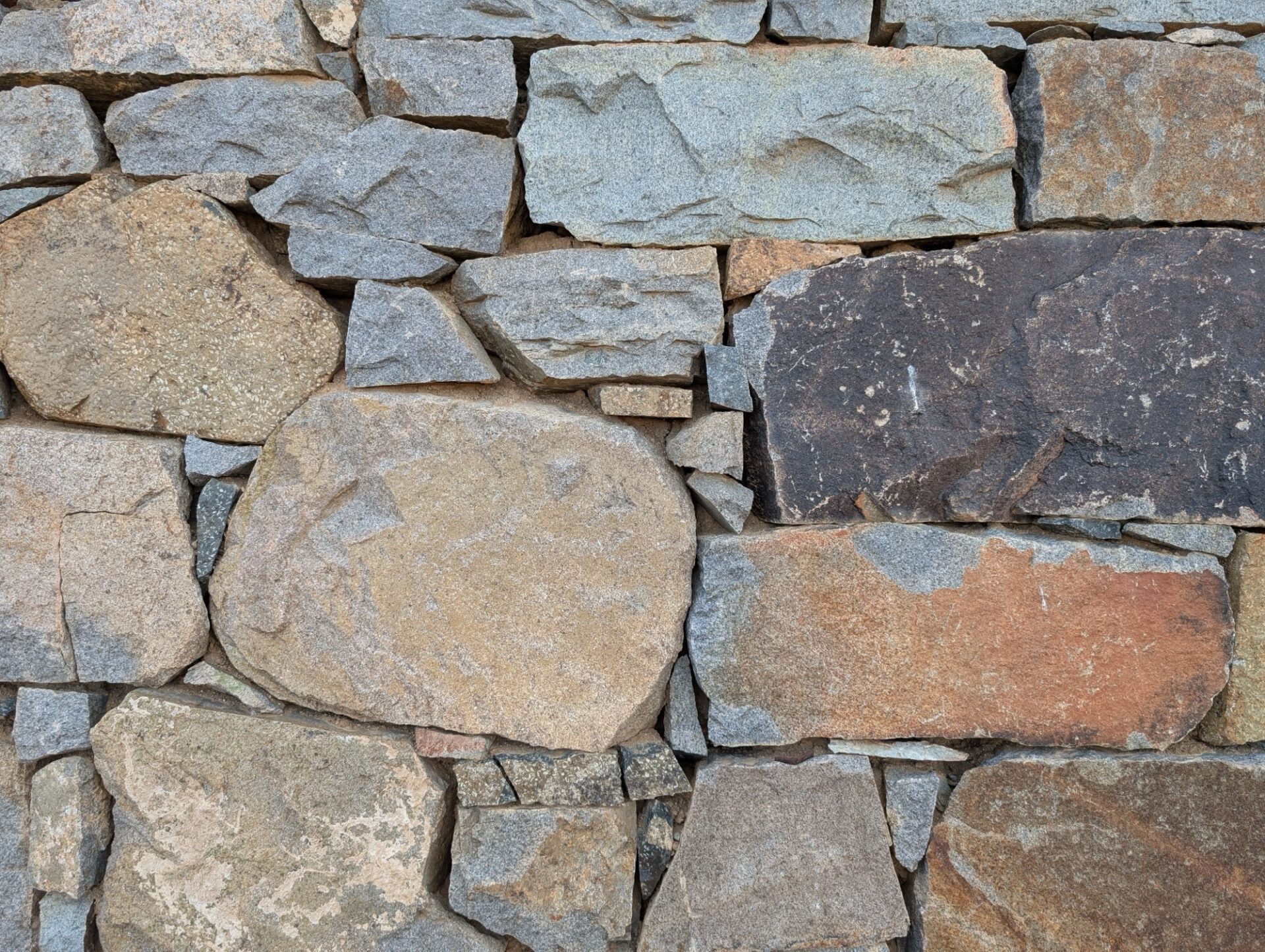
By the time we got to Trona to refuel, Brent rejoined the group! We continued with our day of exploring historic trails by running the Nadeau Trail, admiring the very fine craftsmanship of the Chinese laborers who built the retaining walls almost 150 years ago as the trail went straight down Searles Pass and straight (very straight) up Panamint Valley.
The group explored a side canyon with an old townsite, and eventually were halted by an impassable washout. It was getting late so we decided to call it a day and head back to camp.
On Saturday we decided to venture into Death Valley via Goler Canyon, a classic route most of the group had never done.
Brad’s Lexus was stopped by a waterfall near the beginning of the canyon, but a quick pull from Brent got him past the hump and we were on our way, stopping occasionally for a ruin here in there until we reached the turnoff for the Keystone Mine.
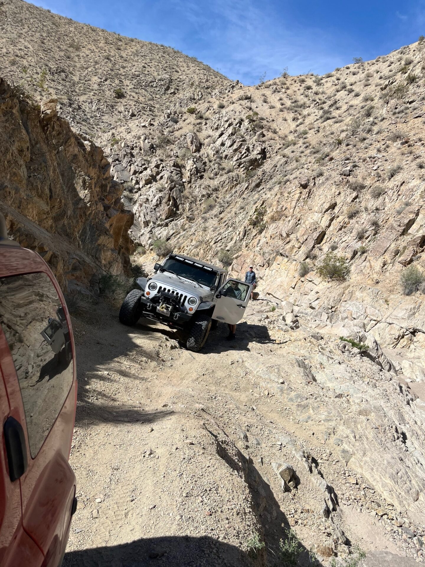
The trail to the Keystone mine was a steep shelf road in sometimes dubious condition.
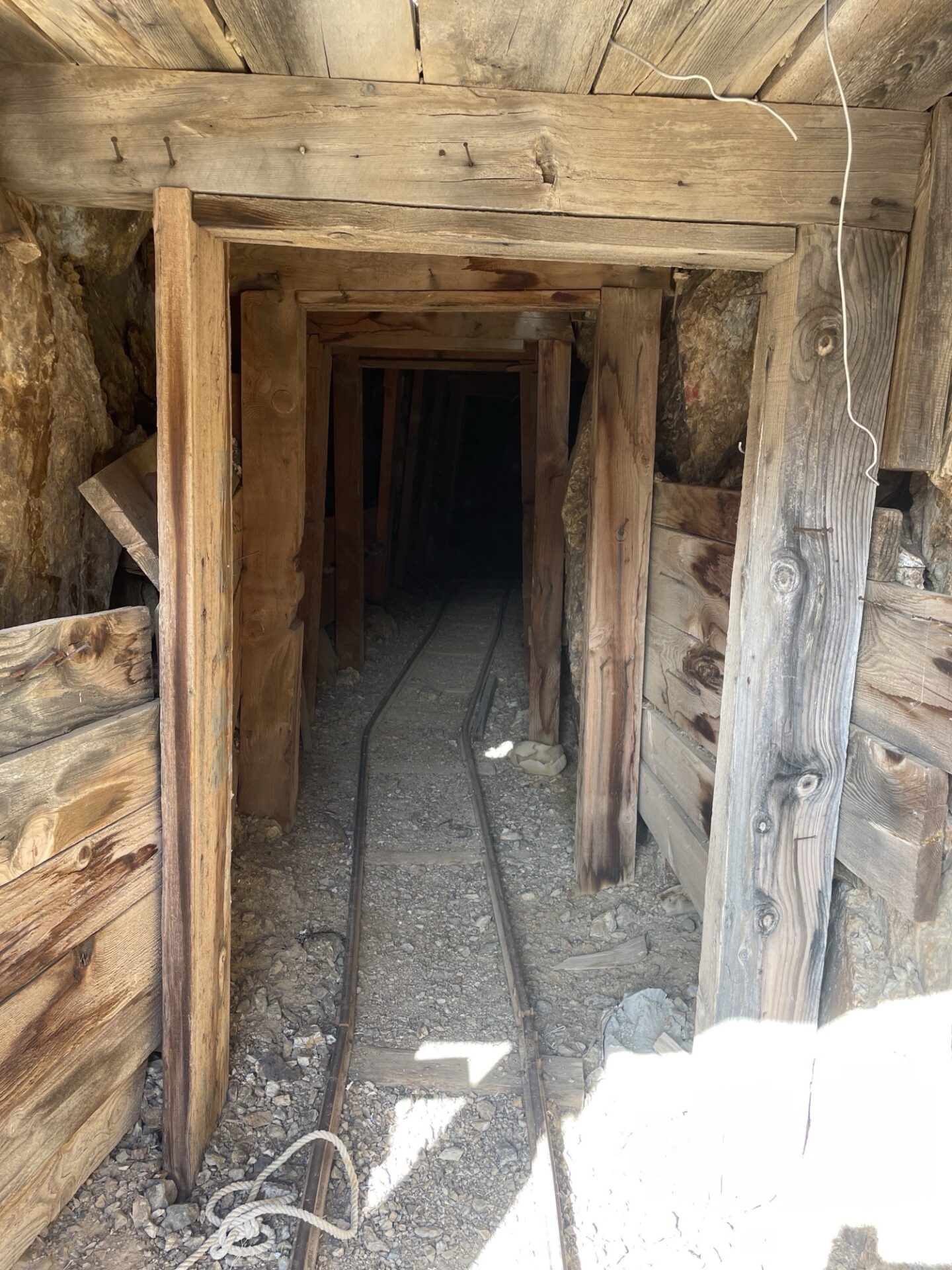
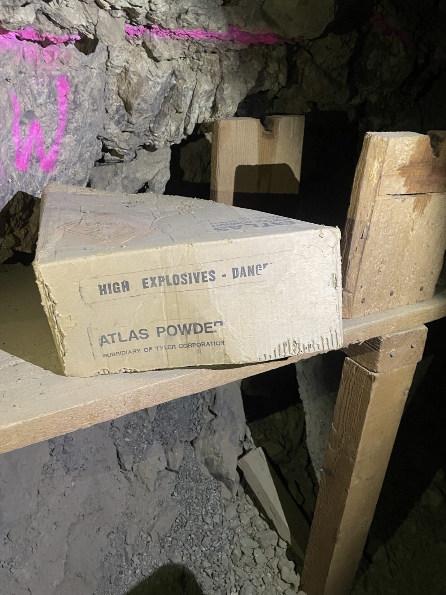
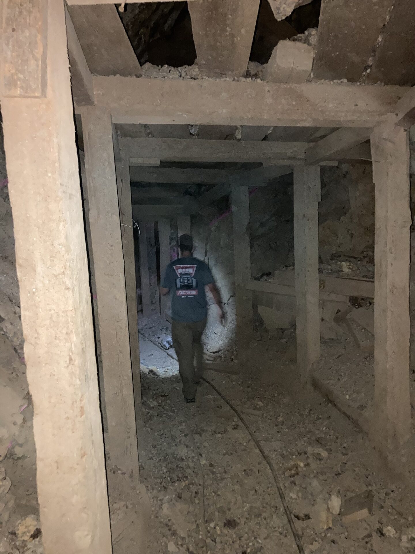
Eventually Fernando, Bryan and Jim made it to the Keystone Mine and decided to explore, going in the mine until stopped by a cave-in about 100 yards in. During their exploration they found a new-ish looking box of dynamite (probably from when the mine was restarted in the 1980’s and 90’s) but left it alone.
Entering Death Valley proper, the group continued on Goler Wash Road and reached Mengel Pass for the most difficult part of the trip. Everyone eventually made it through with the help of some spotting.
We stopped for lunch at Russell Camp. Fernando spilled tinned trout oil in his cooler.
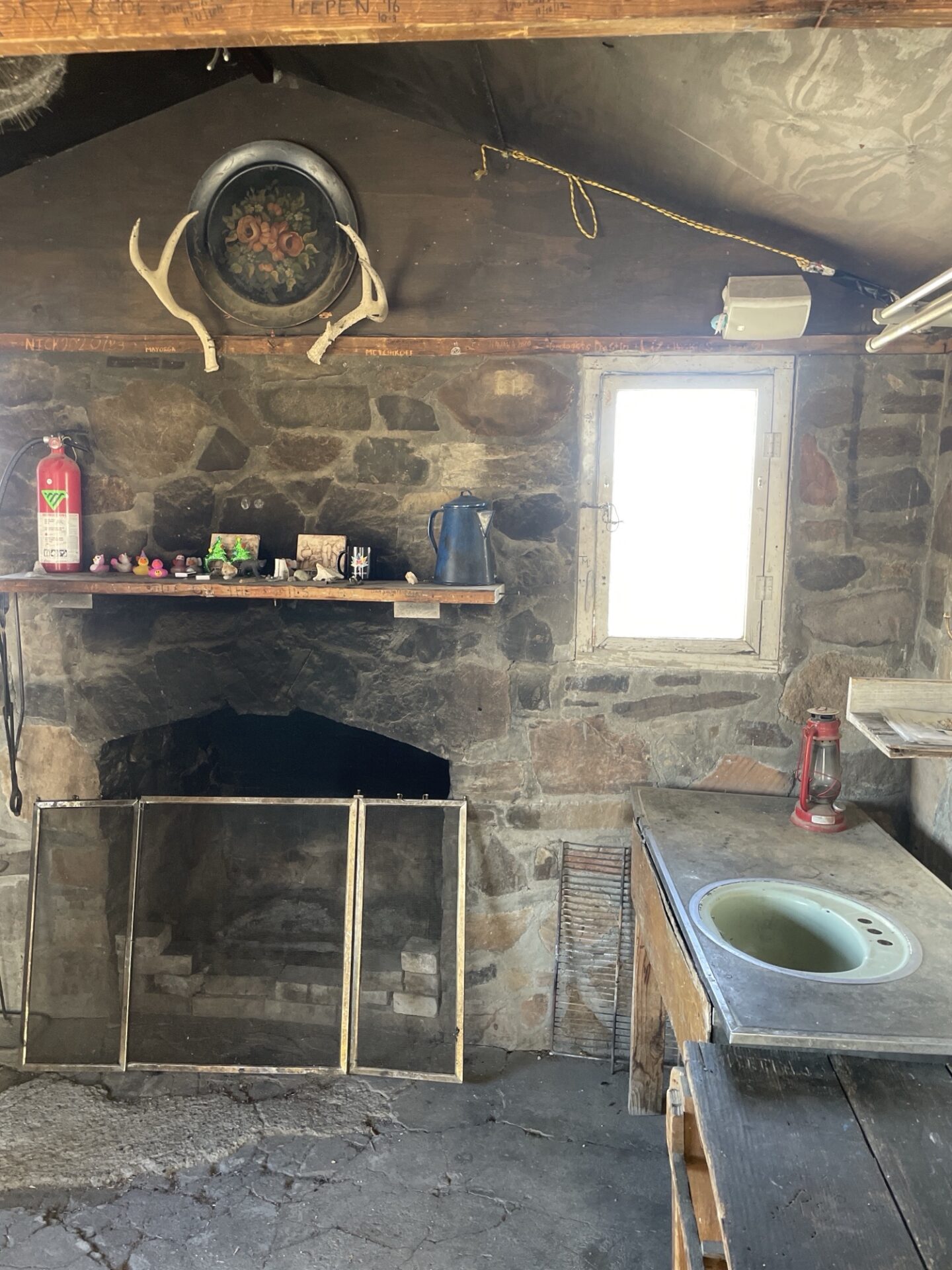
Then checked out Geologists Cabin, admiring the view of Striped Butte.
Realizing we were running out of daylight and wanting to make sure we crossed Mengel Pass and Goler Canyon in daylight, we decided to head home.
We decided to take the long way around the Alkali Flat to avoid the washboard of Wingate Road, and drove the last hour or so in the dark, getting to use our trail lights.
Saturday night the wind finally died down and we enjoyed our first and only campfire.
Sunday we all left for home, Brent without his trusty Turtleback, making it back in time for the Super Bowl.
Members: As usual, check out the members only section where we have 177 photos and videos contributed by the members on this trip.