
Eastern Sierra/White and Inyo Mountains Trip
July 16-20, 2026
By Danny Kato
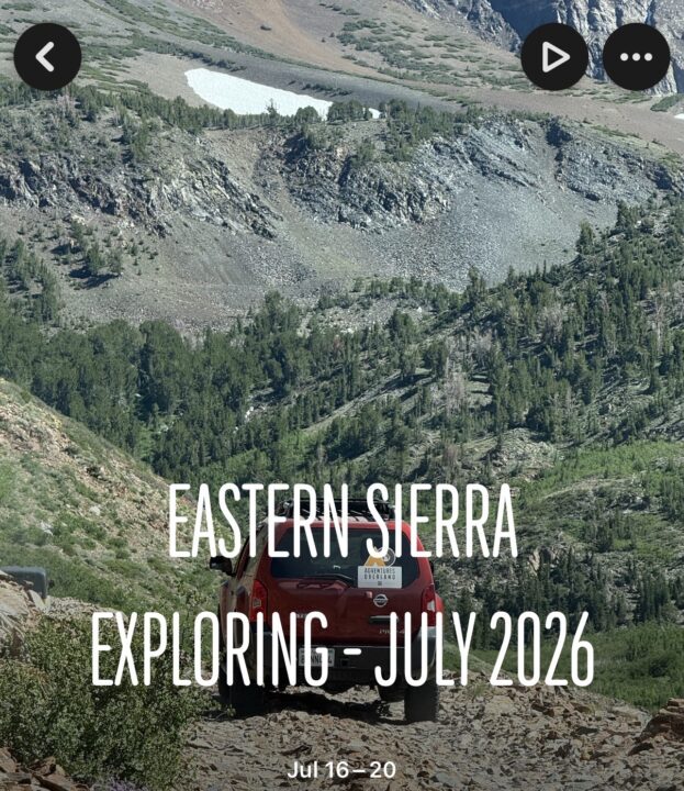
Participants: Danny Kato (leader), Darrell Carver, Sebastian Fishman, and Eric and Aom Alen
Day One: Danny, Darrell and Sebastian met at Roan Mills Bakery in Fillmore for some yummy baked goods, then carpooled to Lone Pine, where we had lunch at the Alabama Hills Cafe. Got gas in Bishop, and made our way to the Laurel Lakes trailhead, just 13 minutes to the south of Mammoth.
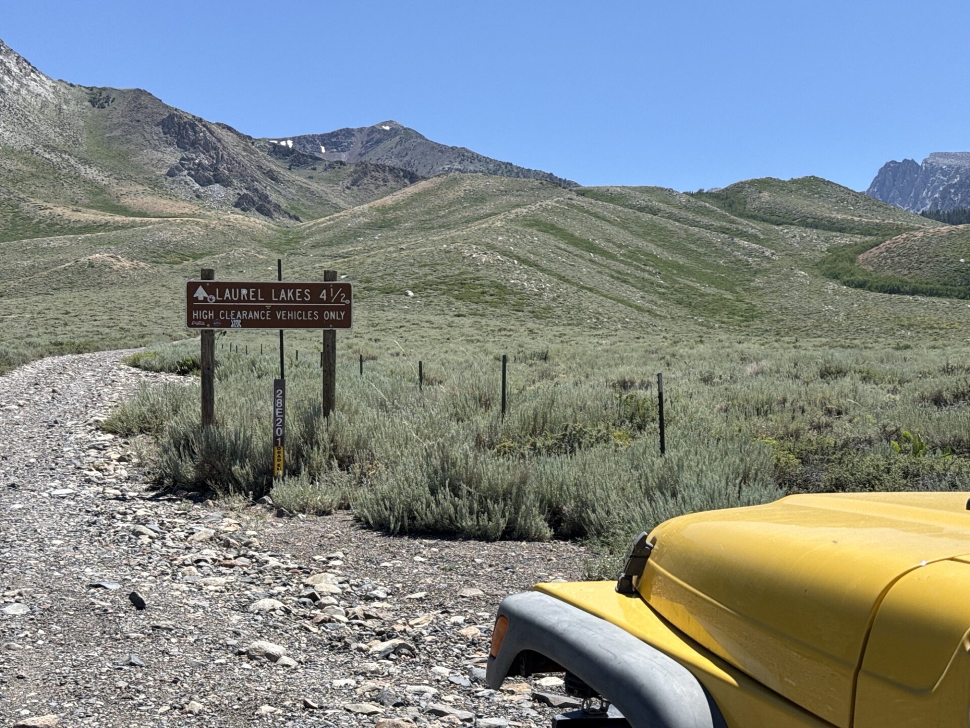
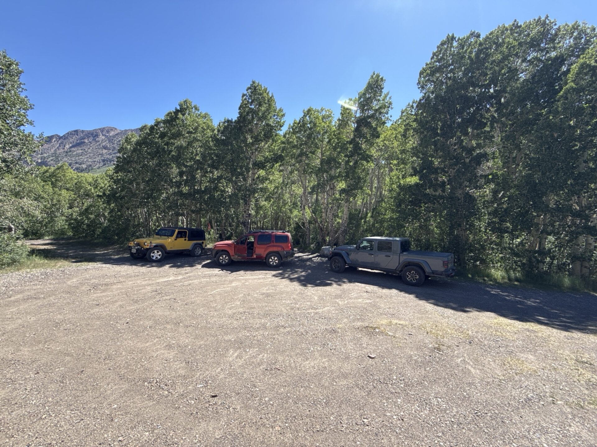
Started up the Laurel Lakes trail, which was mostly embedded rocks or shale. We found a nice campsite about halfway up, next to a little creek and in the shade of Aspen trees.
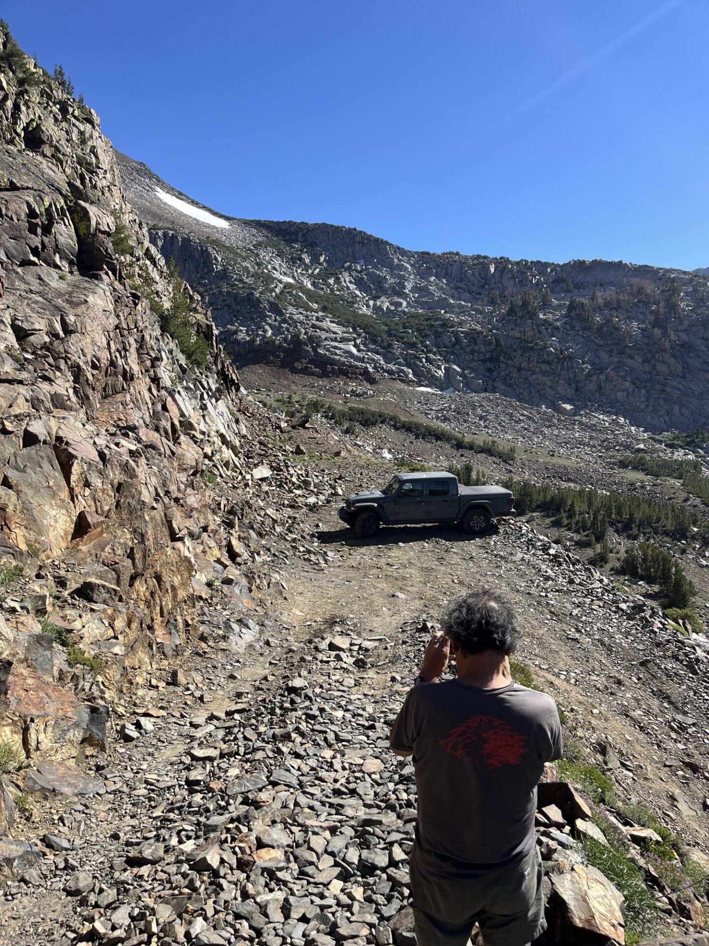
We continued to Laurel Lake, up some shelfy-type areas, with plenty of shale rocks all around. There is one very tight hairpin within sight of the lake, which requires a multi-point turn.
The lake itself is a yellowish green, and not very inviting. There aren’t a lot of flat areas for camping, and the ones we saw were covered in shaley rock.
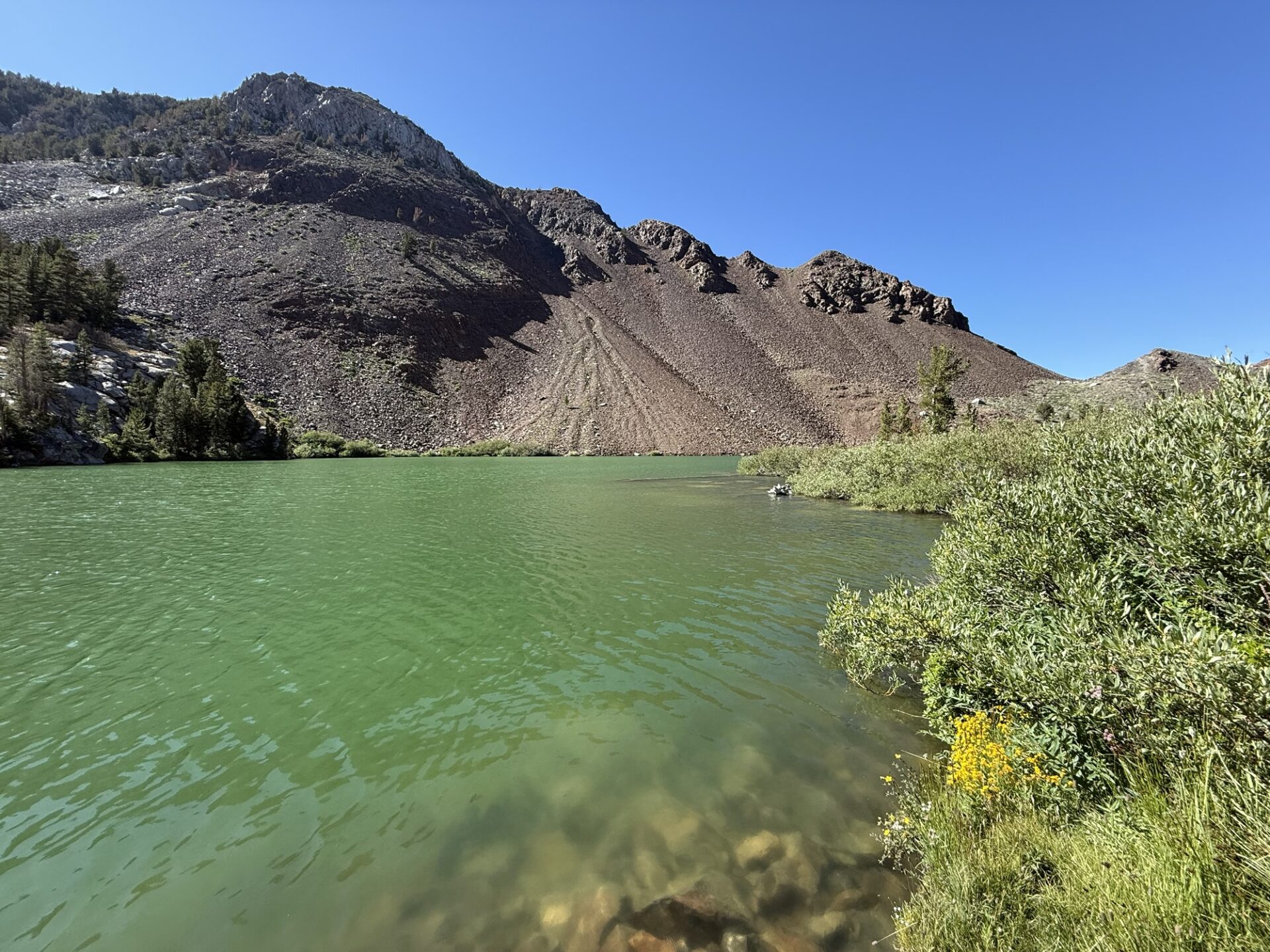
It was also pretty exposed to the wind, so we decided to go back, and camp in the spot that we saw earlier. It was a GREAT camping spot.
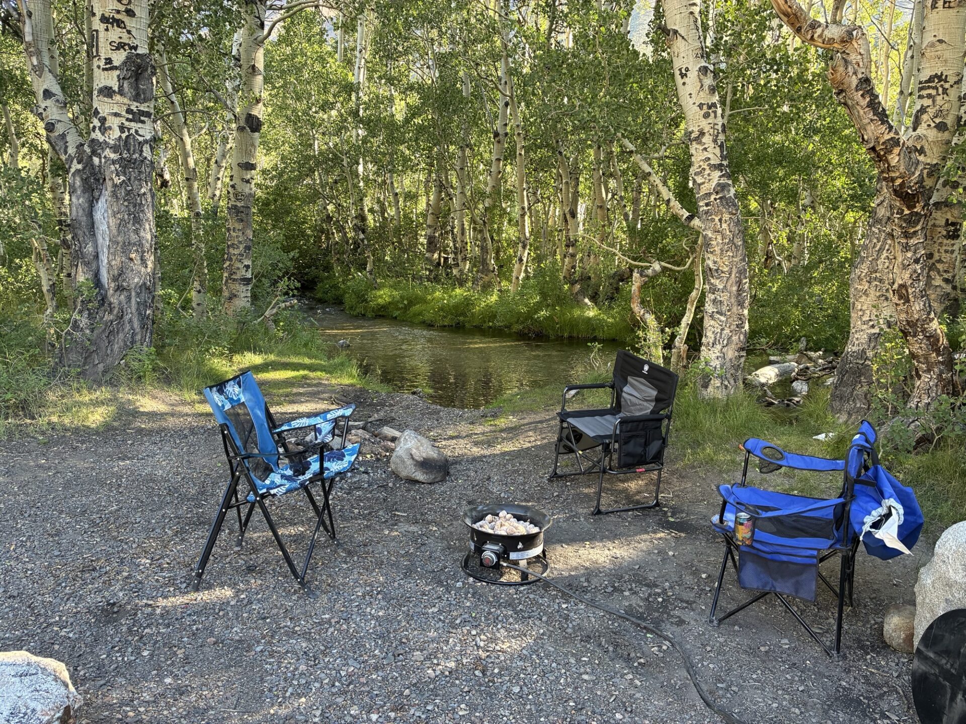
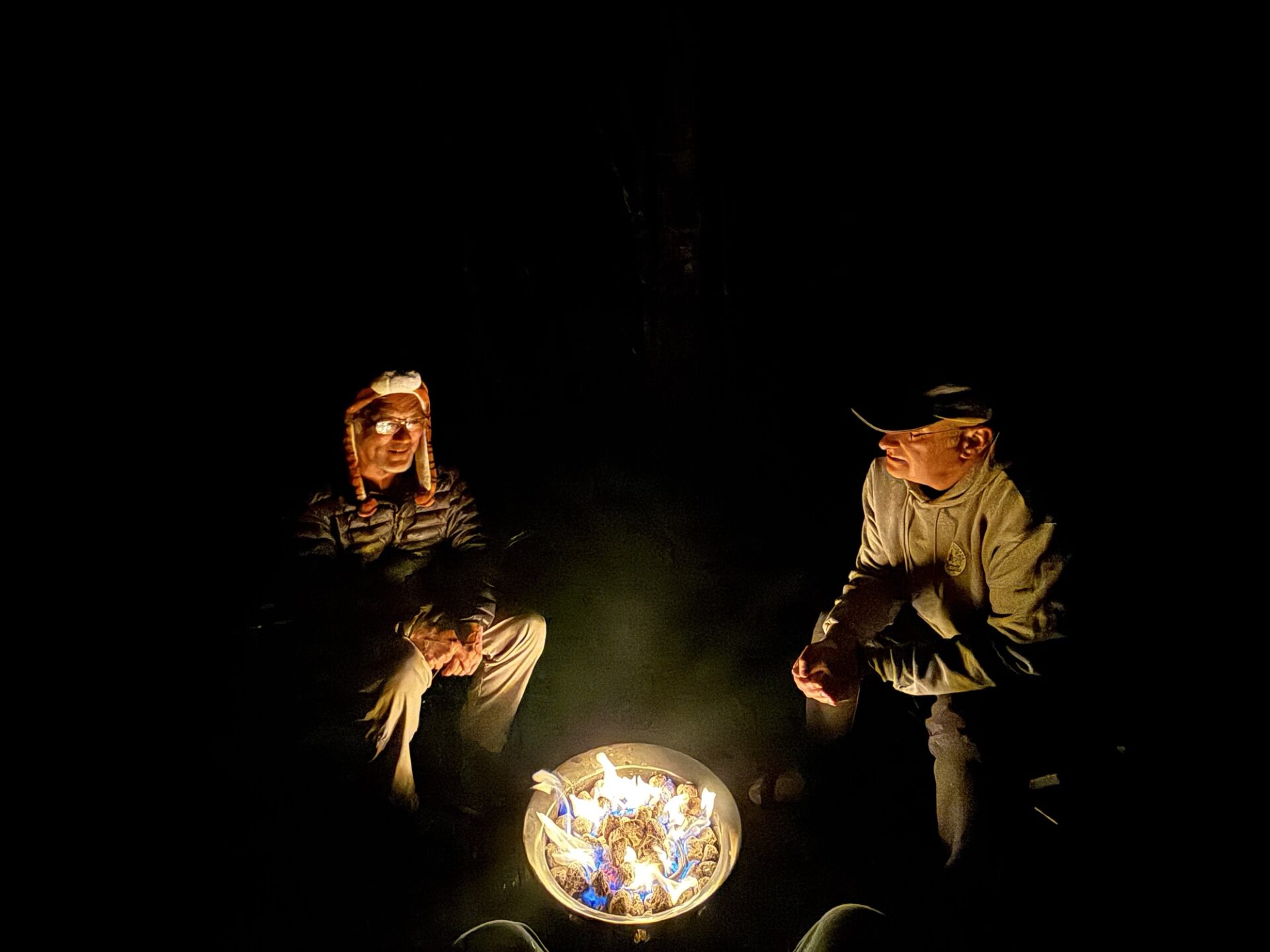
Wood fires weren’t allowed due to wildfire concerns, so Darrell’s propane firepit was a welcome addition.
Day Two: After breakfast, we packed up and headed down the trail. We aired up, then went to Mammoth for gas, and to meet up with Eric and Aom, who spent the night in a hotel. We then took off down Highway 395 for the Sand Canyon Trail.
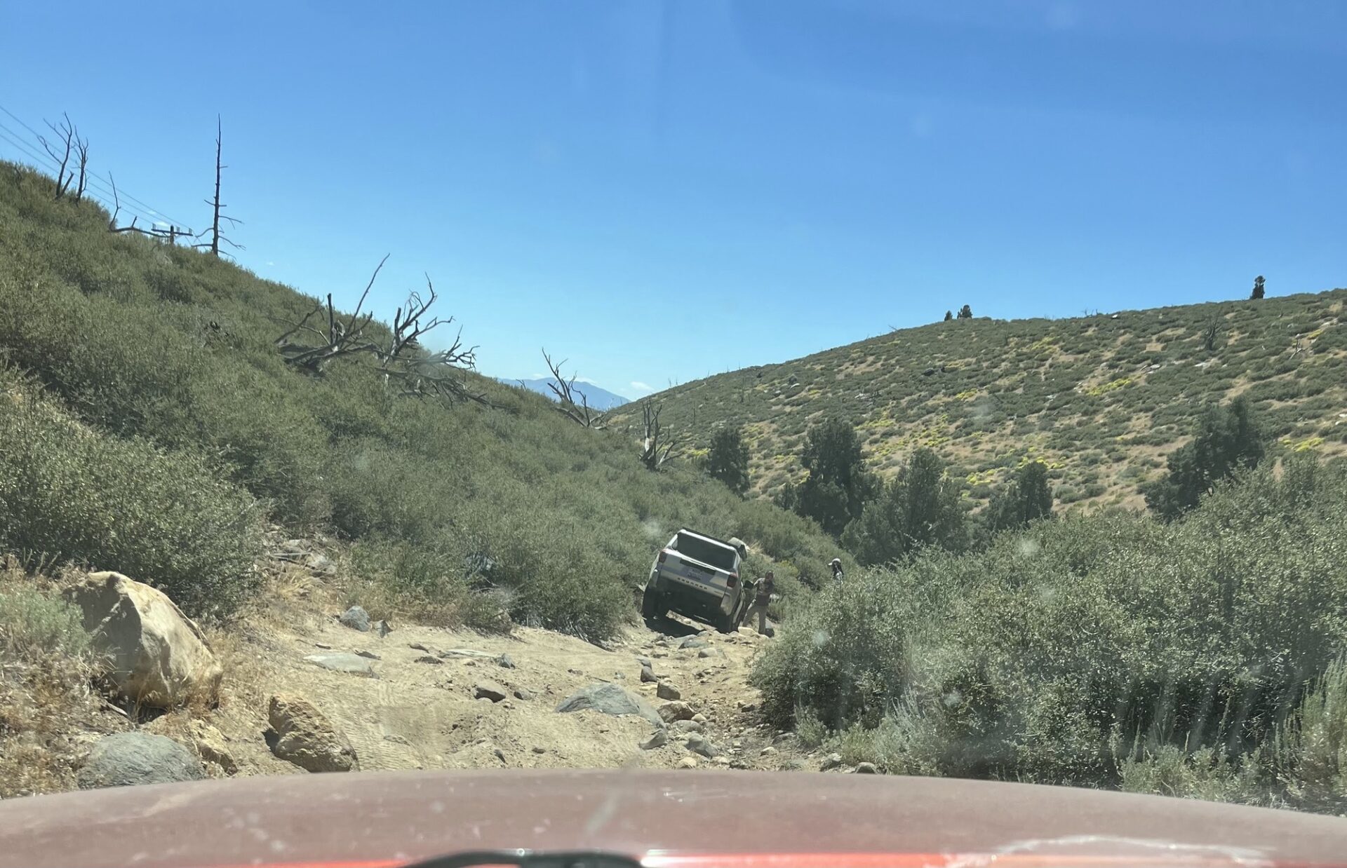
I wanted to get off the highway, and make this part of the trip more interesting, so I found some dirt roads on Gaia. Mostly they were fine and plenty scenic, though we ended up in a streambed, and after the second set of rocky descents, I was sweating it, wondering if it was going to get any worse.
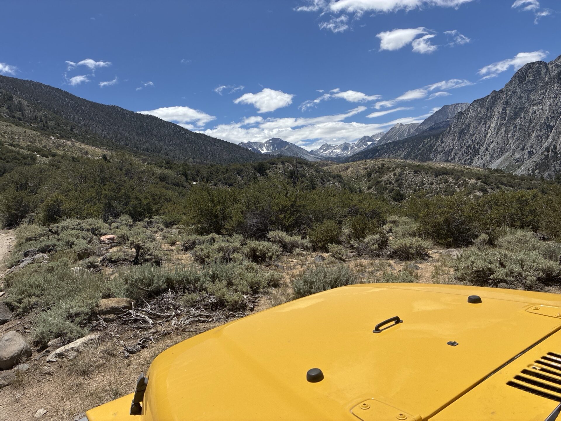
Luckily, it didn’t. We met up with the Sand Canyon Trail, and went up to over 10k feet, mostly on rock embedded trail, though there were some smoother spots. This trail overlooks a valley that the Rock Creek paved road goes up, and at certain points, we could see it.
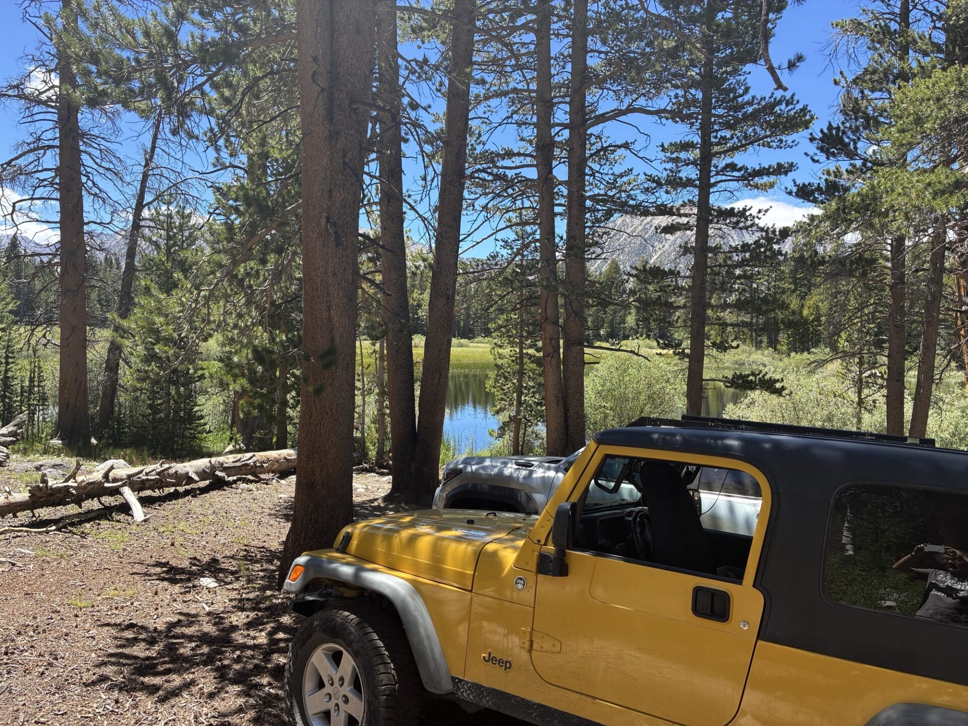
We had lunch at a little lake at the end of the trail, then returned to the trailhead. I had used Gaia to plot a dirt road to the Buttermilk Country trail, and after the trail petered out, we had to turn around and go a more established way.
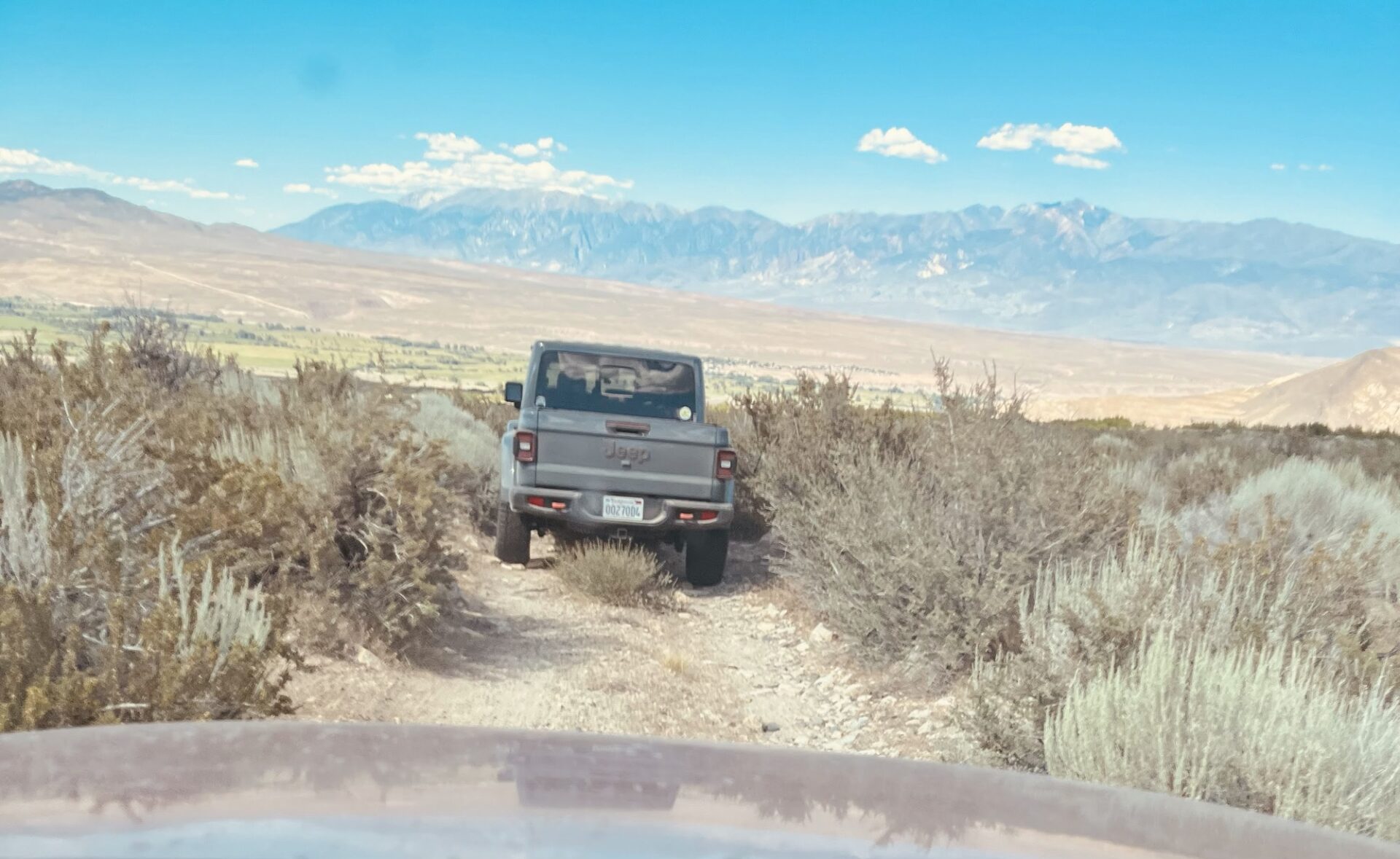
Part of the adventure, I suppose. We made our way to the Buttermilk Country trail, and drove up to the higher elevations. Darrell and Kirk had been on this trail in the past, and Darrell guided us to a very nice campsite within 50 feet of a creek.
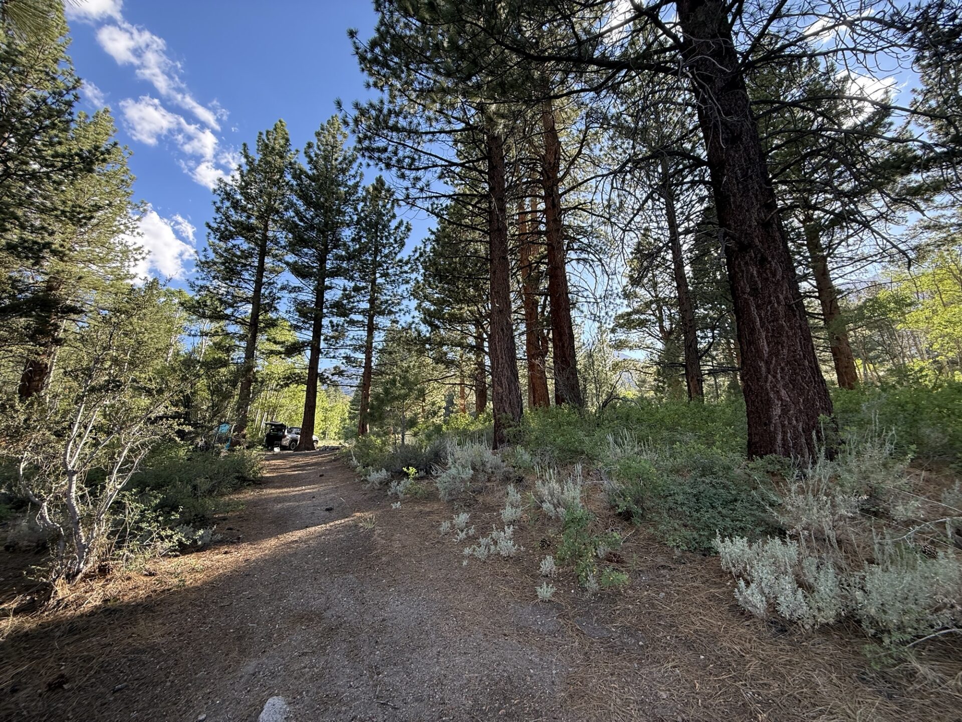
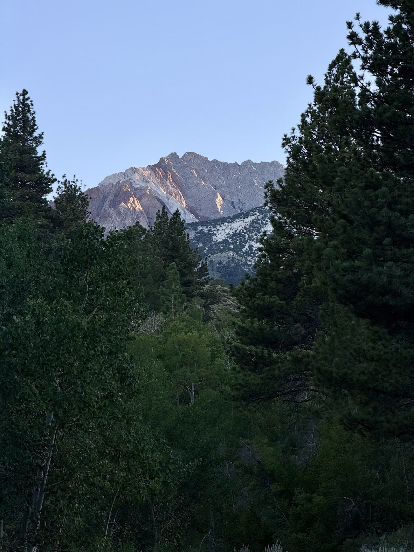
Day Three: We packed up and continued on the Buttermilk Country trail, which is pretty easy and very scenic on the southern end.
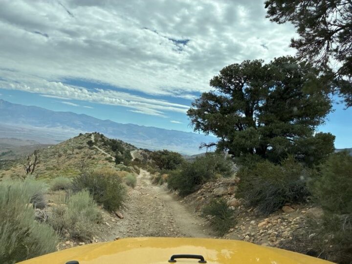
At the end, we’re on a ridgetop overlooking Highway 168 on the south side, and the Buttermilk area on the north side. After we finished that trail, we drove to Bishop, where we got gas, then headed north and east, where we picked up the Silver Canyon trail, going up into the White Mountains.
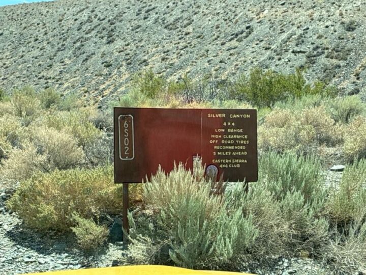
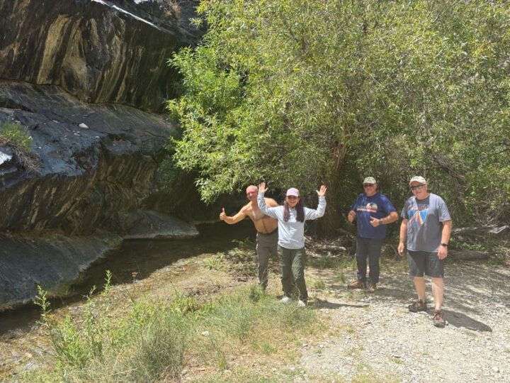
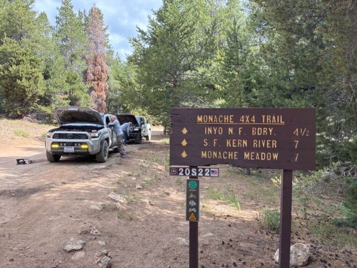
The first section was fairly steep, with many water crossings. Eric and Aom’s Toyota Forerunner got a transmission temperature warning, so we stopped and let it cooldown, then switched into 4Low.
The second section of the trail was much steeper, but totally doable. We got to a fork in the road, with the left being steeper, and the right being not quite as steep. We opted for the right, and eventually ended up at the top of the White Mountains.
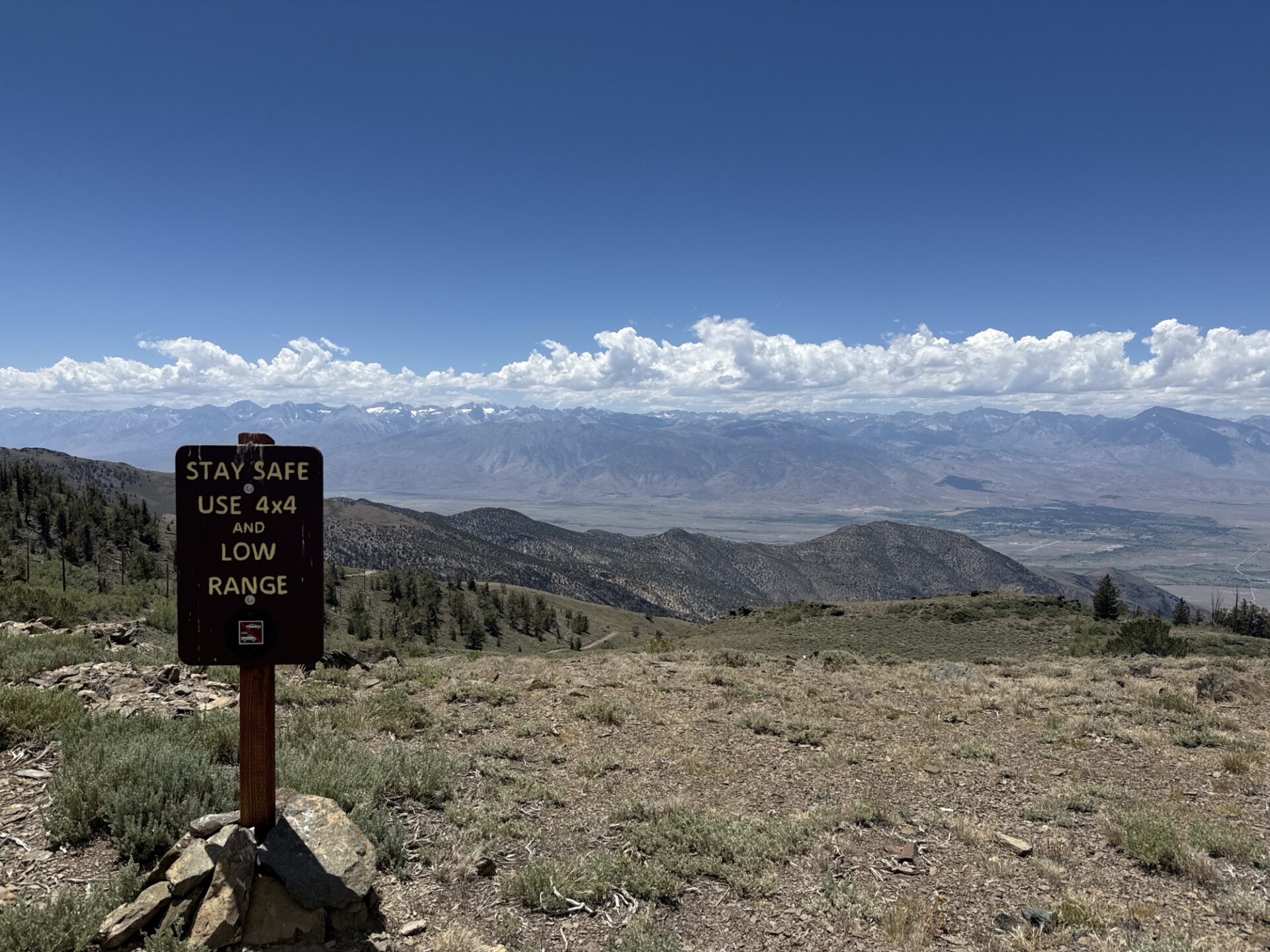
After lunch, we headed north, to the Patriarch Grove of Bristlecone Pines. It was a wide, easy road, with plenty of views to the east and west. The Patriarch Grove is at over 11,100 feet.
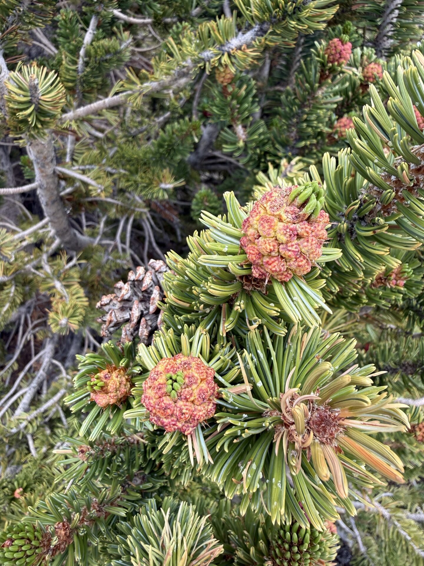
We took a ¼ mile interpretive hike to see these old trees up close. I don’t know about the others, but I was walking very slowly, and huffing and puffing up the mild and short uphill section.
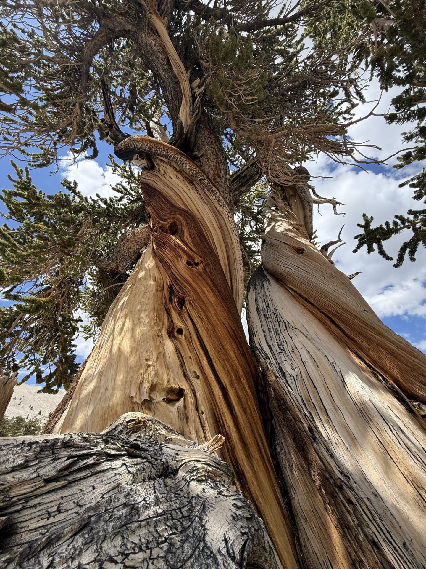
Downhill was much easier. ;o) Then we headed back south to the main grove of Bristlecone Pines, and the visitor center. After that quick visit, we drove down the paved road, almost to Big Pine, where Sebastian aired up and headed back to SB, so he could watch the Argentina/Spain World Cup match on Sunday. The rest of us headed 11 miles up the Death Valley Road to the turn off for the Mazourka Canyon Trail.
There were some steep sections, some rocky sections, and a lot of beautiful views.
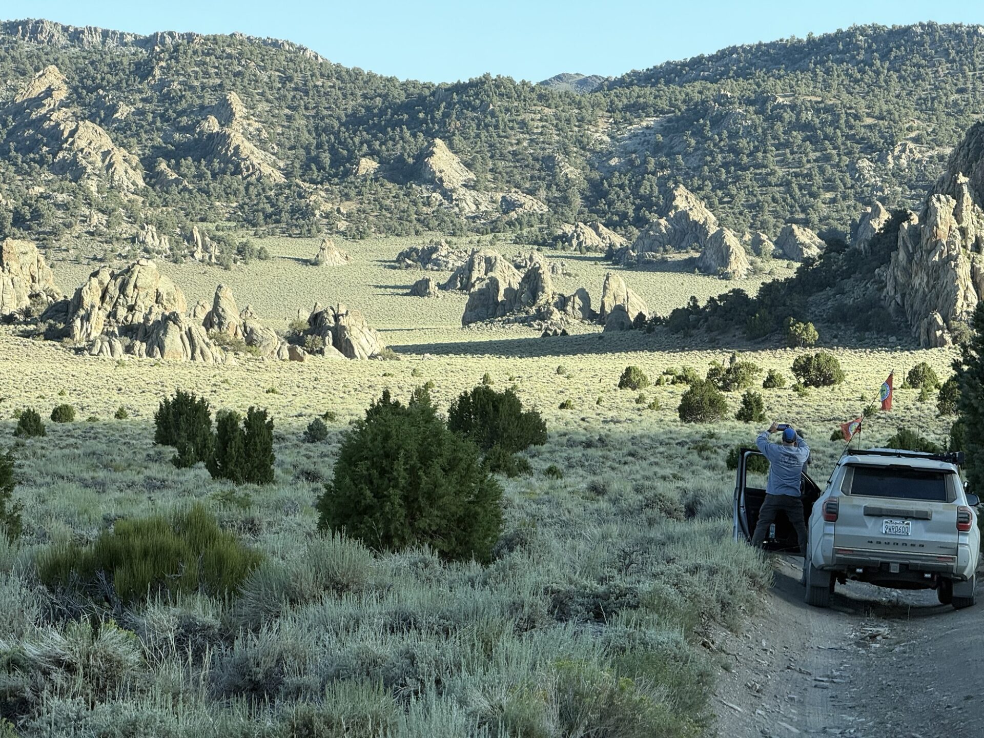
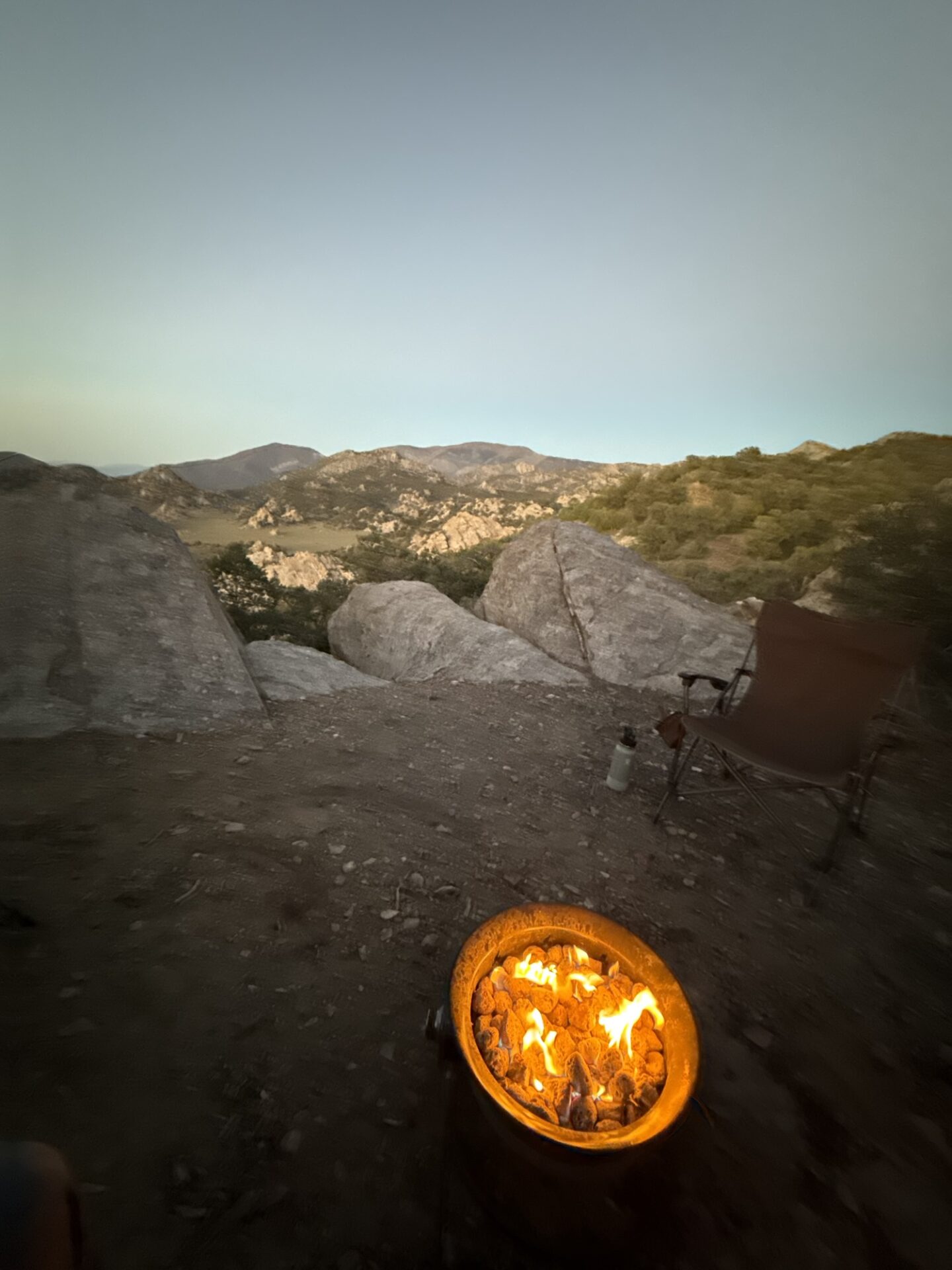
We camped out above Papoose Flats, and saw a magnificent sunset. Just breathtaking!
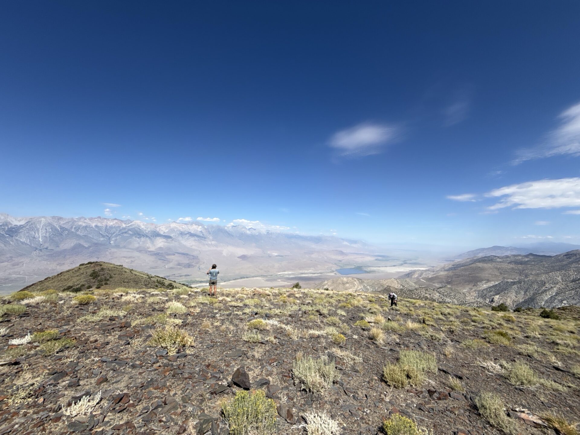
Day Four: After breakfast, we packed up and headed down the trail to Mazourka Peak, which overlooks the Owens Valley.
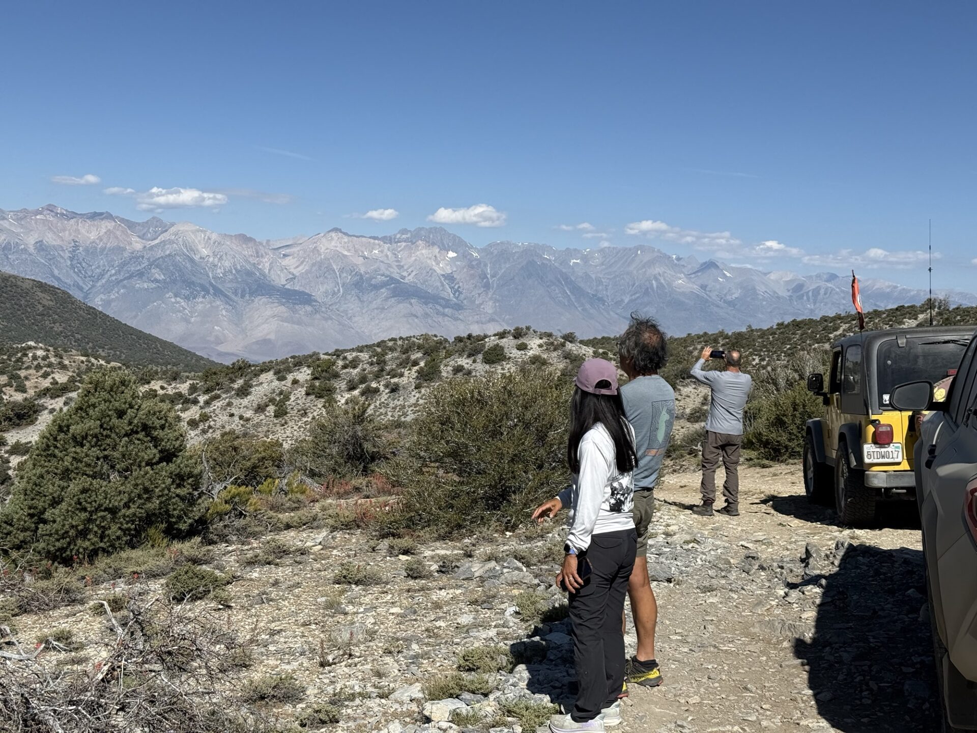
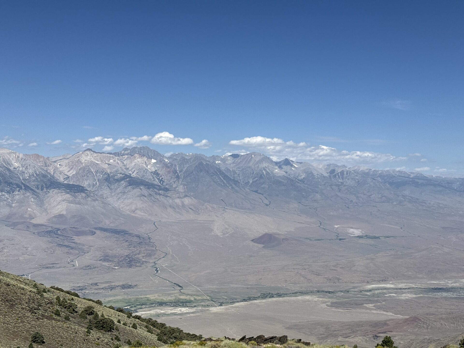
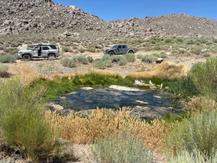
Then we ventured into Santa Rita flats, where we found the Santa Rita spring,
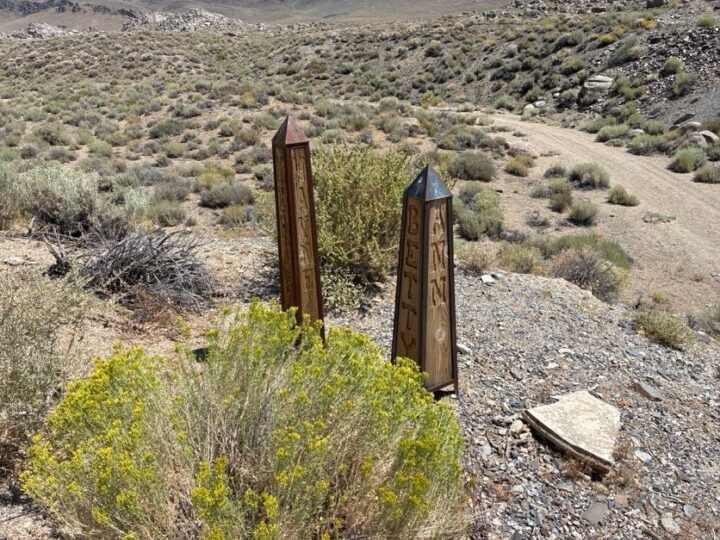
and what appeared to be a couple of grave markers shaped like Egyptian obelisks.
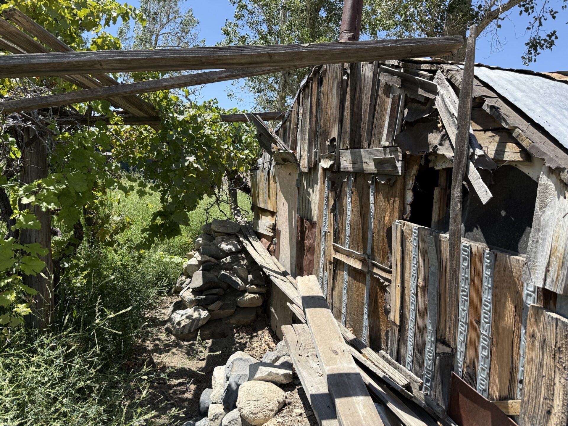
After stopping at a little mine/house/spring under some Cottonwood trees,
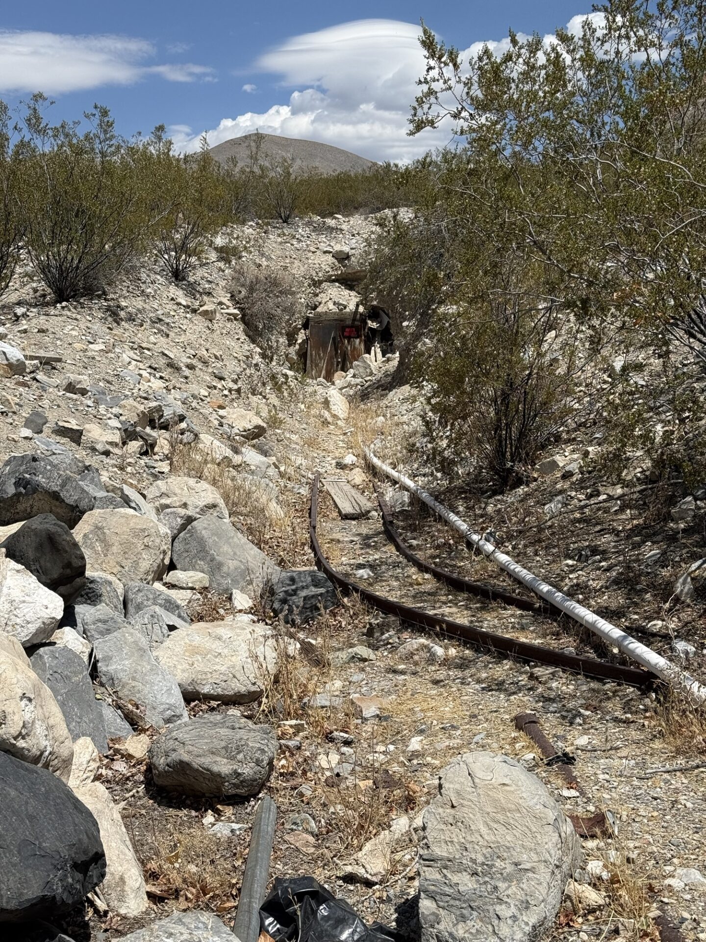
we made our way to the marker for the Kearsarge train station, just outside Independence, where we aired up (it was hot and windy.
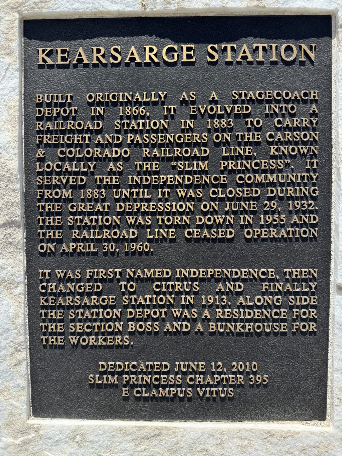
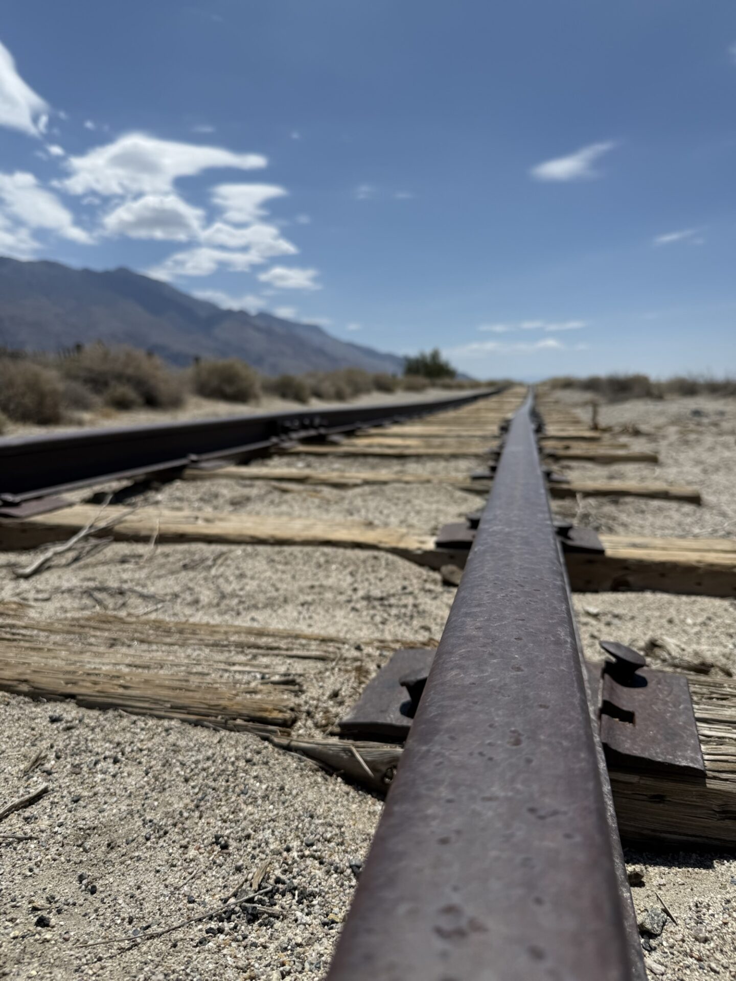
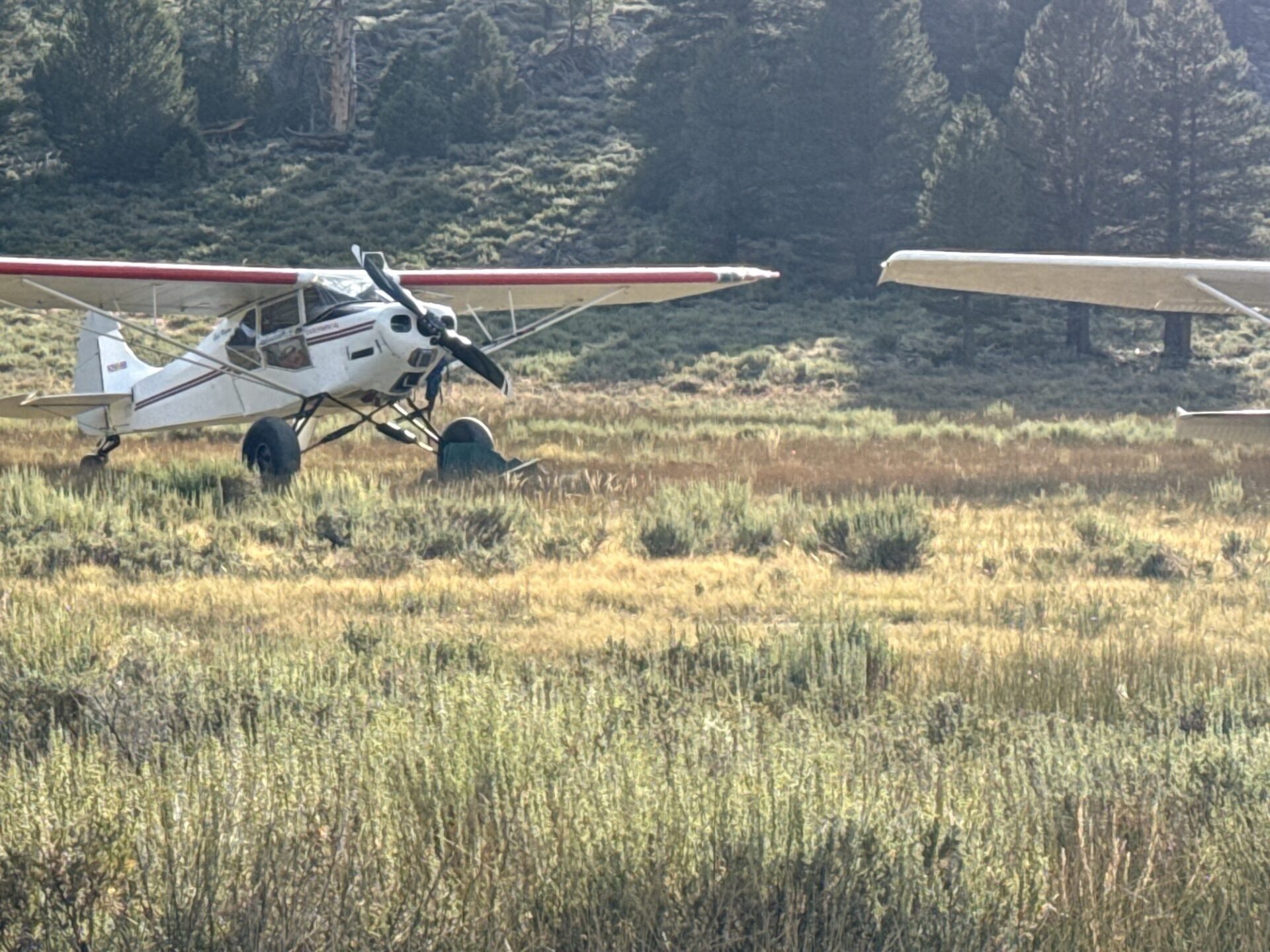
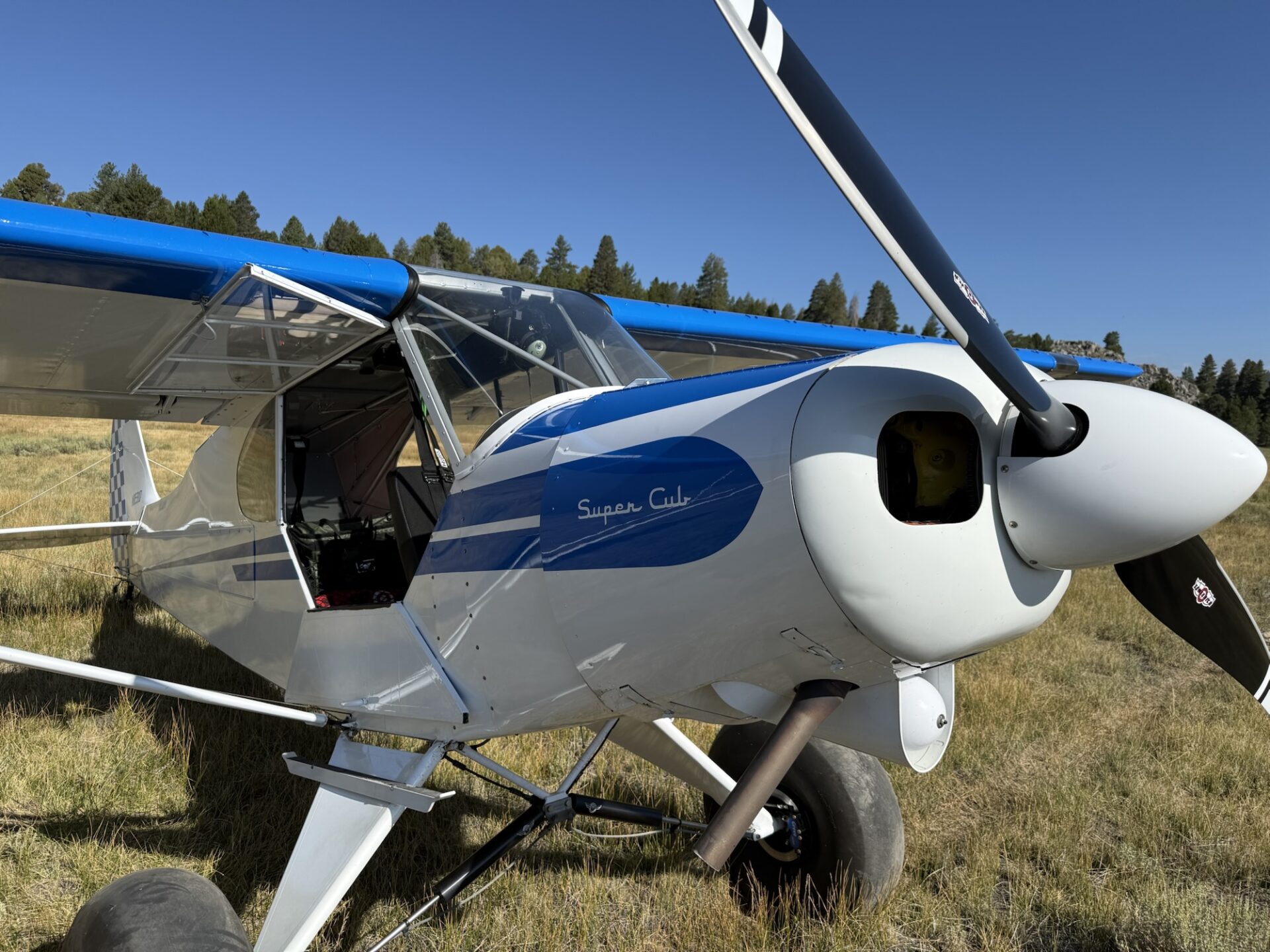
In hindsight, we should have drive into Independence, and found a shady spot to air up). We had lunch at the Mt. Whitney Cafe in Lone Pine, then headed south on Highway 395. We turned west on 9 Mile road, and went up a very steep, paved, two-lane road to Kennedy Meadows. We stopped in the store, and had ice cream. Yum! Then we headed towards Monache Meadows via the Jackass Meadows road. Eventually, we got to Monache Meadows, where we saw some bush planes that had come in for the day/evening.
The trail is very beat up by tons of vehicles coming and going (lots of embedded rocks on steepish slopes, lots of big whoops, and lots of low hanging branches hitting my tall antenna), and by about halfway there, I was ready to call it and just find a spot to camp, but Darrell suggested that we continue, and said that it was worth doing. The nice campsites at the end of the trail were available (only two other groups were there). We had a nice spot right next to the creek.
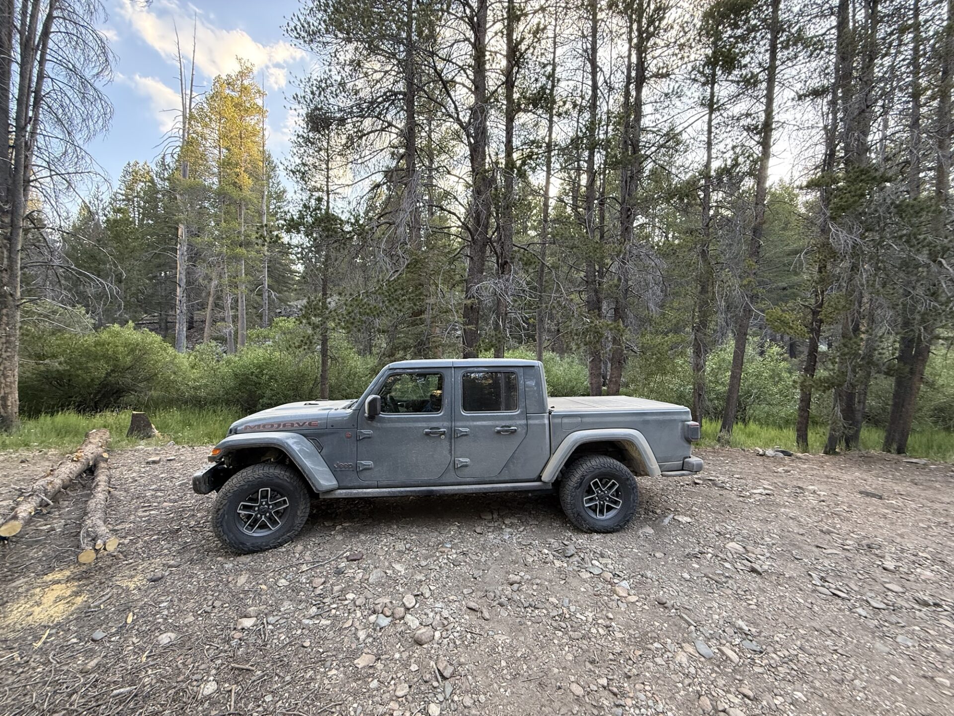
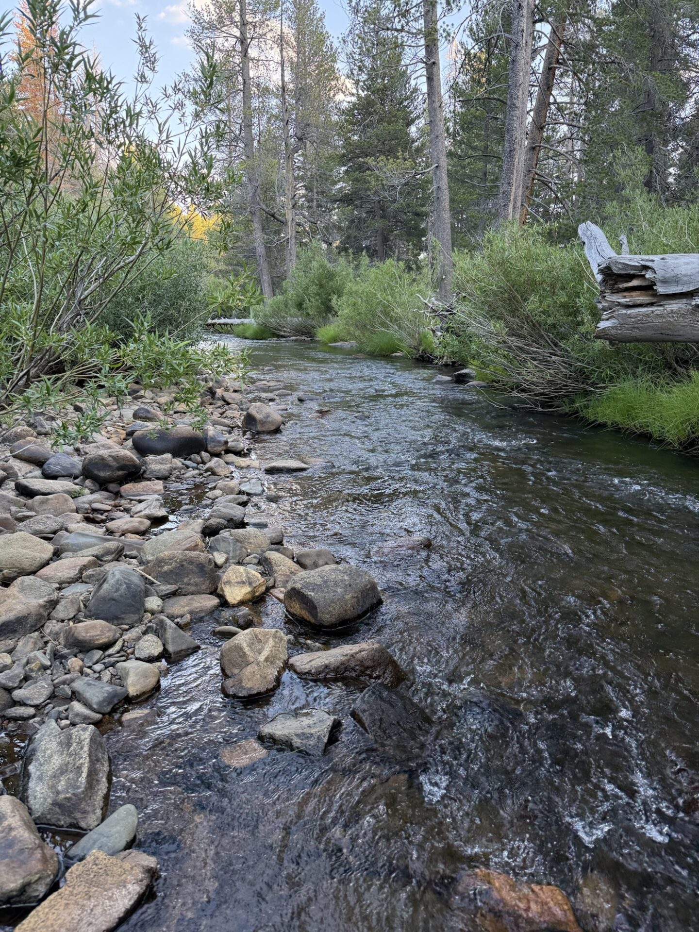
Day Five: After breakfast, I aired down even more, put on my short antenna, and disconnected my sway bar (forgot to do that the day before). It’s AMAZING what lower tire pressure, a disconnected sway bar, an antenna that’s not getting almost knocked off the roof constantly, and some rest will do. On the way back, I thought the trail was super fun and pretty easy. I was sad to see it end. ;o)
We aired up, and made our way back to the Sherman Pass road, where we headed towards Kernville. I took a detour to check out the Bald Mountain Fire Lookout (one of two manned lookouts anymore).
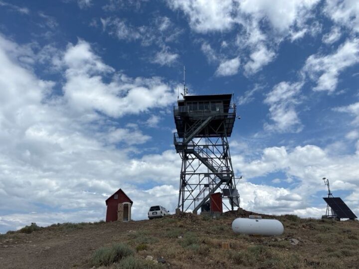
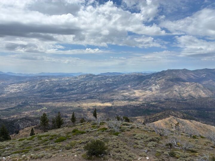
Darrell, Eric and Aom opted to continue towards SB. If you’re in the area, I recommend going to the Bald Mountain Lookout, as the views are amazing, even with some cloud cover. You have to park down the hill a bit from the tower, and hike about 10 minutes uphill, then go up several flights of stairs to get to the viewing platform/housing unit for Glen, the resident fire spotter, and Chia, his very friendly pup. The drive home was uneventful, but full of windy roads with almost no traffic. So fun!
Overall, the trip went just as I had hoped (doing some fun trails while avoiding the heat). The only time we felt really hot was when we were airing up after the Mazourka Canyon trail. Camping at high altitude was a joy. It was a lot of driving, though. Unfortunately, none of the spots on this trip were worthy of a two-night stay, as I don’t think there wouldn’t have been enough things to do for a full day. An option would have been to go up to some of the areas in Coyote Flats, but we opted not to do this, as Brent will be leading a trip up there in August. The great thing is that you could mix and match any of these trails for as long or short of a trip as you’d like, and you wouldn’t really have to worry about the heat, except for the drive to and from.
Members: be sure to connect to the Member Website – Web Links section where the full 200+ photo and video album exists. Also there is a GAIA link to the campsites we chose and many of the trail maps for future reference.